Photo: Wikipedia
Strategic Assessment of Little Rock, AR
Meaningful friction. Expect exposure to either population pressure, blast zones, or natural disaster risk. Consider buying a retreat property.
What does the Strategic Assessment tell us?
Our Strategic Assessment grades tactical survivability of an area. Major population centers, military targets, fallout zones, natural disasters, and border exposure all drive risk — lower exposure means a more defensible position in a crisis.
This is heavily inspired by Joel Skousen's Strategic Relocation book. Highly recommended you checkout the book ($)What does this tell us?
Our Strategic Assessment grades tactical survivability of an area. Major population centers, military targets, fallout zones, natural disasters, and border exposure all drive risk — lower exposure means a more defensible position in a crisis.
This is heavily inspired by Joel Skousen's Strategic Relocation book. Highly recommended you checkout the book ($)Strategic Pillars

Key Distances
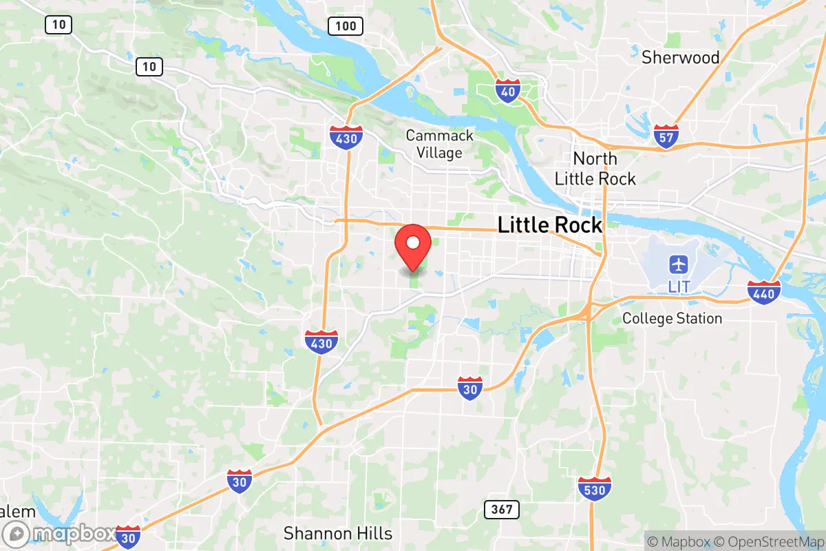
Regional Safe Places
Below is our recommended "safe zones" in Arkansas and the surrounding area based on our strategic heuristics. For most people, it's unrealistic to live in a “safe zone” full-time due to work, family or other personal reasons. They tend to be more rural. However, many of these areas are perfect for second homes and retreat properties that double as a vacation home or even a short-term rental.


Important Note: For informational purposes only. This does not mean nothing bad ever happens in the green zones. Please use common sense. This is based on public data and modeled with AI. We tried to take a conservative approach but mistakes happen. We update this regularly as new information becomes available.
Solar Generator Recommendations
Backup power matters more here than in safer locations. We've picked three solar generators across budgets and capacity tiers — start with the budget unit if you only need a few essentials, or step up if you want to run a fridge and HVAC for days at a time.

Jackery Portable Power Station Explorer 300
Budget OptionPower on the Go: Weighing only 11 lbs, it's convenient to set up and store with book-sized foldable solar panels

BLUETTI Portable Power Station AC180
Designed for both indoor and outdoor scenarios, AC180 is highly capable as it has a robost capacity and continuous output power.

EF ECOFLOW DELTA Pro Ultra Power Station
Upgraded PickEcoFlow DELTA Pro Ultra is a whole-home energy system designed to grow with your family. Integrated with the Smart Home Panel 2, it scales to meet your evolving energy needs — keeping your home powered, intelligent, and secure through every stage of life.
We earn a commission, at no additional cost to you.
Strategic Assessment Analysis
Little Rock, Arkansas, presents a mixed strategic picture for the conservative prepper or survivalist. Its central location along the Arkansas River offers genuine logistical advantages for supply movement and regional access, but its status as a state capital and population hub introduces significant risk vectors that a serious relocator must weigh. The city’s resilience is not in its isolation—it has none—but in its ability to serve as a staging ground for deeper retreat into the Ozarks or Ouachitas, provided you have a clear exit plan and are not counting on the city itself as a long-term holdout.
Geographic position and natural advantages for a strategic relocation
Little Rock sits at the crossroads of Interstates 30, 40, and 440, making it a natural logistics node for anyone needing to move supplies, people, or equipment across the midsouth. The Arkansas River provides a reliable freshwater source and a navigable waterway that connects to the Mississippi, which is a double-edged sword—useful for trade but also a vector for traffic and potential contamination. The city lies in the Arkansas River Valley, flanked by the Ouachita Mountains to the west and the Mississippi Alluvial Plain to the east. This means you have quick access to rugged, low-population-density terrain within a 90-minute drive—the Ozark National Forest and Ouachita National Forest are both within two hours. The local climate is humid subtropical, with hot summers and mild winters, which supports year-round gardening and livestock if you have the land. The growing season runs roughly from late March to early November, giving you a solid 220+ days for food production. The area is also in a moderate seismic zone—the New Madrid fault is about 200 miles northeast—so you are not looking at the catastrophic ground shaking risks of California, but you should still plan for occasional tremors and the potential for river flooding.
Risks, exposures, and proximity to fallout-relevant landmarks
Here is where the analysis gets sobering. Little Rock is the state capital, home to roughly 200,000 people in the city proper and over 700,000 in the metro area. That density alone makes it a target for civil unrest, supply chain disruptions, and disease spread. The city hosts Little Rock Air Force Base (about 15 miles northeast in Jacksonville), which is a major C-130 transport hub. In a national emergency, that base becomes a primary node for military logistics, which also makes it a potential target for adversaries or a magnet for desperate populations seeking evacuation. The Clinton Presidential Center and the state capitol complex are symbolic targets that could draw protest activity or worse. The Arkansas River is dammed upstream at Murray Lock and Dam and downstream at several points; a coordinated attack on those dams could flood low-lying parts of the city, including the downtown area and the Port of Little Rock. The city also sits within 150 miles of the Entergy Arkansas nuclear plant (Arkansas Nuclear One) near Russellville, about 70 miles northwest. A worst-case release there would put Little Rock in the plume path depending on wind direction. On the plus side, there are no major chemical weapons depots or large-scale ammunition plants in the immediate vicinity, but the presence of the Air Force base and the interstate highway network means the city is a natural chokepoint for any large-scale movement of people or goods during a crisis.
Practical resilience for a relocator: food, water, energy, and defensibility
For the individual or family looking to set up a resilient lifestyle, Little Rock itself is not the answer—it is the hub you use to access the surrounding rural counties. The city has a robust farmers’ market scene (the Little Rock Farmers Market at the River Market runs April through October) and multiple co-ops like the Arkansas Local Food Network, which can help you build local supply chains before things go sideways. Water is plentiful from the Arkansas River and the city’s municipal supply, but you should assume that municipal water treatment could fail during a prolonged grid-down event. Deep wells in the surrounding counties (Pulaski, Saline, Faulkner) typically produce 10-30 gallons per minute at depths of 100-300 feet, so a hand pump or solar-powered well is a viable investment if you buy land outside the city limits. Energy reliability is average—Entergy Arkansas provides power, and outages during ice storms (common every few years) can last 3-7 days. Solar is viable, with about 210 sunny days per year, but you will need battery storage to handle the cloudy winter stretches. Defensibility is poor inside the city—dense neighborhoods, limited fields of fire, and multiple ingress points. The real strategic value is in the exurban ring: communities like Roland, Paron, or Ferndale (west of the city, in the foothills of the Ouachitas) offer 5-20 acre parcels with tree cover, creek access, and limited road access. These areas are within 30-45 minutes of Little Rock’s hospitals and supply stores but far enough that you are not in the immediate chaos zone. The local gun culture is strong—Arkansas is a shall-issue concealed carry state with no permit required for open carry—and the sheriff’s offices in surrounding counties are generally pro-Second Amendment. You will find like-minded neighbors in the rural precincts, but do not expect a militia-style community; most people here are just quiet, self-reliant families who keep to themselves.
The overall strategic picture for Little Rock is that of a regional logistics hub with moderate-to-high risk during a national crisis. It is not a bug-out location—it is a place to stage, resupply, and then move deeper into the Ozarks or Ouachitas if the situation deteriorates. If you are a single individual or a family with a vehicle and a plan, you can use Little Rock’s infrastructure (hospitals, hardware stores, bulk food suppliers like Sam’s Club and Costco) to build your preps, then relocate to a rural property within a 45-minute radius. The city itself will likely see significant unrest during any major event—its demographics, political divisions, and reliance on a single interstate corridor make it a pressure cooker. But for the disciplined prepper who treats Little Rock as a forward operating base rather than a final destination, the area offers genuine advantages in water access, growing conditions, and proximity to federal lands. Just do not plan to stay in the city when the lights go out. Have your exit route mapped, your vehicle fueled, and your rural property secured before you need it. That is the difference between being a survivor and being part of the problem.
* Values derived from national, state, county, city and local statistics and may differ in a specific area. Last updated: 2026-04-23T04:09:49.000Z
Narrative content on this page is AI-generated and may contain mistakes. Verify any details that matter before acting on them.
ReloMaps may earn a commission from affiliate links at no extra cost to you.