
Photo: Wikipedia
Strategic Assessment of Los Lunas, NM
Meaningful friction. Expect exposure to either population pressure, blast zones, or natural disaster risk. Consider buying a retreat property.
What does the Strategic Assessment tell us?
Our Strategic Assessment grades tactical survivability of an area. Major population centers, military targets, fallout zones, natural disasters, and border exposure all drive risk — lower exposure means a more defensible position in a crisis.
This is heavily inspired by Joel Skousen's Strategic Relocation book. Highly recommended you checkout the book ($)What does this tell us?
Our Strategic Assessment grades tactical survivability of an area. Major population centers, military targets, fallout zones, natural disasters, and border exposure all drive risk — lower exposure means a more defensible position in a crisis.
This is heavily inspired by Joel Skousen's Strategic Relocation book. Highly recommended you checkout the book ($)Strategic Pillars

Key Distances
Regional Safe Places
Below is our recommended "safe zones" in New Mexico and the surrounding area based on our strategic heuristics. For most people, it's unrealistic to live in a “safe zone” full-time due to work, family or other personal reasons. They tend to be more rural. However, many of these areas are perfect for second homes and retreat properties that double as a vacation home or even a short-term rental.

Important Note: For informational purposes only. This does not mean nothing bad ever happens in the green zones. Please use common sense. This is based on public data and modeled with AI. We tried to take a conservative approach but mistakes happen. We update this regularly as new information becomes available.
Solar Generator Recommendations
Backup power matters more here than in safer locations. We've picked three solar generators across budgets and capacity tiers — start with the budget unit if you only need a few essentials, or step up if you want to run a fridge and HVAC for days at a time.

Jackery Portable Power Station Explorer 300
Budget OptionPower on the Go: Weighing only 11 lbs, it's convenient to set up and store with book-sized foldable solar panels

BLUETTI Portable Power Station AC180
Designed for both indoor and outdoor scenarios, AC180 is highly capable as it has a robost capacity and continuous output power.

EF ECOFLOW DELTA Pro Ultra Power Station
Upgraded PickEcoFlow DELTA Pro Ultra is a whole-home energy system designed to grow with your family. Integrated with the Smart Home Panel 2, it scales to meet your evolving energy needs — keeping your home powered, intelligent, and secure through every stage of life.
We earn a commission, at no additional cost to you.
Strategic Assessment Analysis
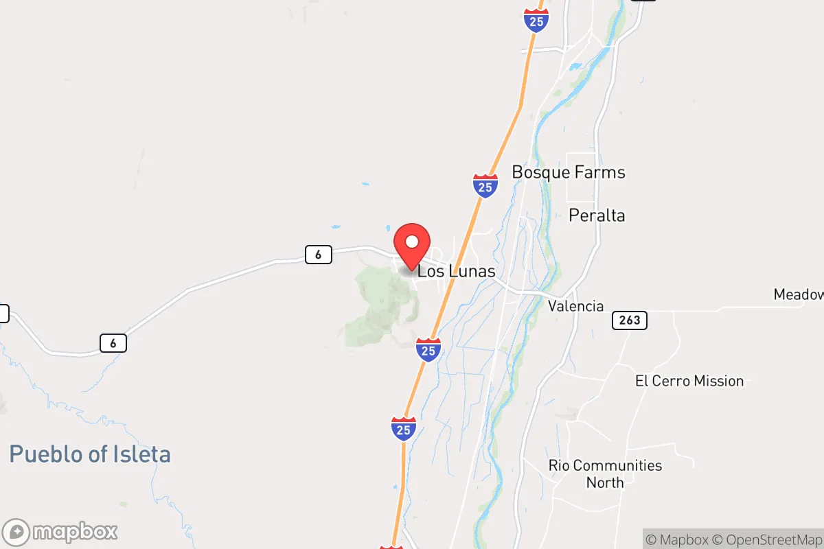
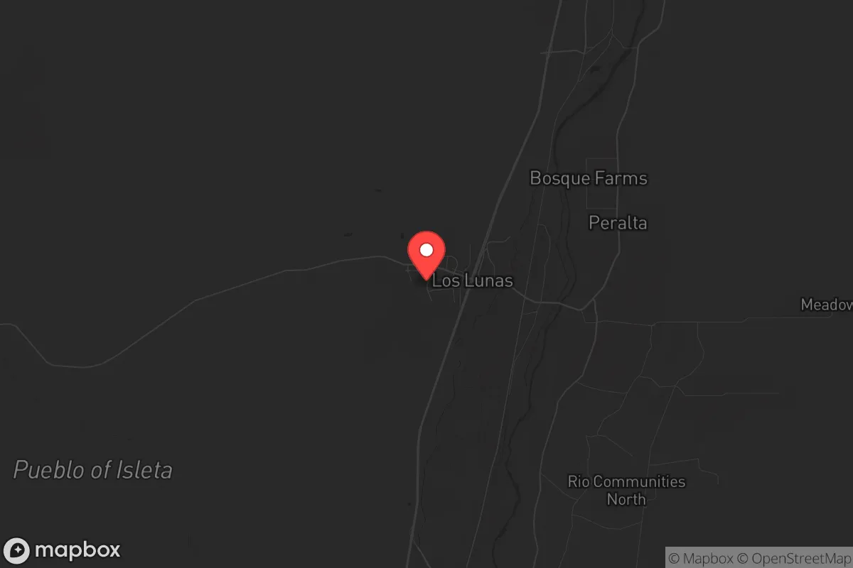
Los Lunas, New Mexico, sits in a strategic pocket that offers genuine resilience advantages for those prioritizing self-sufficiency and distance from major urban collapse zones. Located roughly 20 miles south of Albuquerque along the Rio Grande, this village of roughly 16,000 people benefits from a semi-arid climate, a strong agricultural history, and a position that is close enough to supply lines but far enough from the immediate blast radius of a major metropolitan target. For a relocator thinking in terms of decades, not just the next election cycle, Los Lunas presents a compelling mix of defensible geography, water access, and low population density that is increasingly rare in the Southwest.
Geographic position and natural advantages for long-term security
Los Lunas sits in the Middle Rio Grande Valley, a corridor that has supported human habitation for over a thousand years. The village is flanked by the Manzano Mountains to the east and the Rio Puerco Valley to the west, creating natural chokepoints and observation positions. The elevation of roughly 4,800 feet provides a moderate climate with four distinct seasons, reducing the risk of extreme heat events that plague lower desert locations. The Rio Grande itself, while heavily managed, provides a reliable surface water source that is far more accessible than groundwater in many parts of the state. The acequia system—centuries-old irrigation ditches—still runs through parts of Los Lunas, offering a decentralized water distribution network that could be maintained with basic tools and local knowledge. The area's position on the I-25 corridor gives access to regional supply routes, but the village itself is not a critical transportation hub, meaning it is unlikely to be a target for disruption or a chokepoint for mass movement during a crisis. The surrounding Valencia County has a population density of roughly 55 people per square mile, which is low enough to allow for meaningful personal space and food production but high enough to maintain some community infrastructure.
Risks, exposures, and proximity to fallout-relevant landmarks
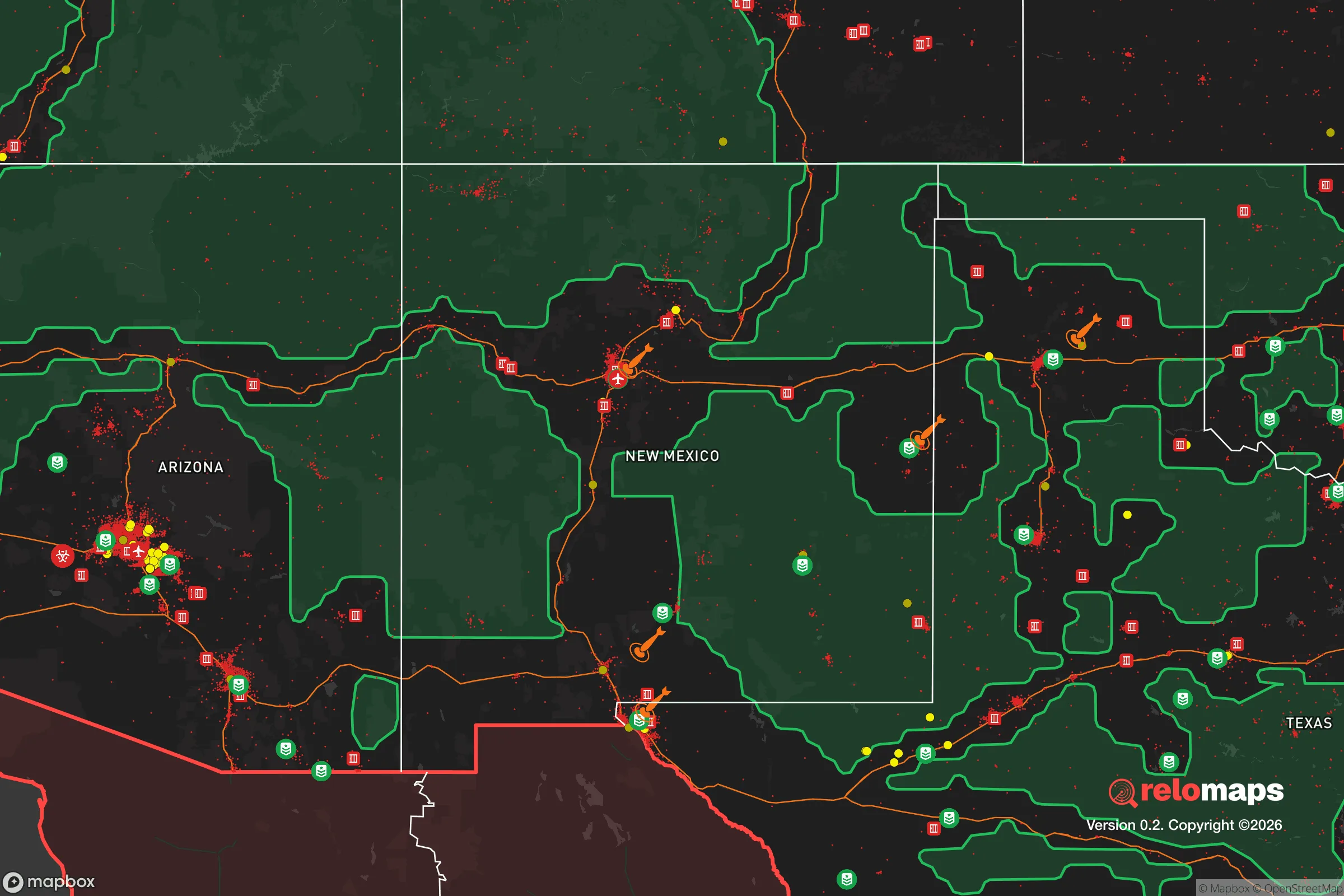
The most significant risk for Los Lunas is its proximity to Albuquerque, a city of roughly 560,000 people that sits directly upwind for much of the year. In a scenario involving a nuclear detonation at Kirtland Air Force Base or Sandia National Laboratories—both major strategic targets—Los Lunas would be within the dangerous fallout plume zone depending on wind direction. The prevailing winds in the Rio Grande Valley are from the south-southwest, which means a strike on Albuquerque would likely push fallout northeast, away from Los Lunas, but this is not guaranteed. Additionally, the village is roughly 60 miles from the Waste Isolation Pilot Plant (WIPP) near Carlsbad, a nuclear waste repository that, while well-engineered, represents a long-term contamination risk if compromised. The area is also within 100 miles of the Los Alamos National Laboratory, another high-value target. On the natural disaster front, the region faces moderate earthquake risk (the Rio Grande Rift is active), periodic drought, and the potential for severe flash flooding in arroyos. Wildfire risk is moderate but increasing, particularly in the adjacent Manzano Mountains. The village's location in a valley means that smoke and ash from regional fires can settle and linger, creating respiratory hazards for weeks at a time.
Practical resilience for a relocator: food, water, energy, and defensibility
For a relocator serious about self-sufficiency, Los Lunas offers several concrete advantages. Water is the most critical factor, and the village's position on the Rio Grande, combined with senior water rights held by many acequia associations, provides a legal and practical foundation for independent water access. The average annual precipitation is only 9 inches, so rainwater catchment is not a primary strategy, but the acequia system delivers surface water during the growing season (typically March through October). Groundwater is available but requires drilling to depths of 100-300 feet, with varying yields. The soil in the valley is a mix of sandy loam and clay, suitable for traditional crops like chile, corn, beans, and squash, but requires amendment for high-yield vegetable production. The growing season averages 180 days, which is sufficient for most warm-season crops. For energy, the area receives over 280 sunny days per year, making solar power highly viable. Net metering is available through the local utility, PNM, but a grid-down scenario would require battery storage. The village has a mix of older adobe homes and newer construction; adobe offers excellent thermal mass for passive heating and cooling but requires maintenance. Defensibility is moderate: the village is spread out with multiple access points, but the surrounding mountains and river provide natural barriers. The local law enforcement presence is the Valencia County Sheriff's Office, which is professional but thinly stretched across a large rural area. The community itself is a mix of long-time Hispanic families, retirees, and a growing number of out-of-state transplants, which creates a culture that is generally self-reliant but not hostile to newcomers. Gun culture is present but not aggressive; the area is not a hub for organized prepper communities, which can be an advantage for those who prefer to keep a low profile.
The overall strategic picture for Los Lunas is one of cautious optimism for the prepared relocator. The village offers genuine natural advantages—water access, defensible terrain, low population density, and a moderate climate—that are increasingly hard to find in the American Southwest. The primary vulnerabilities are the proximity to Albuquerque and the presence of high-value nuclear infrastructure within a 100-mile radius. For a single individual or family willing to invest in solar power, water storage, and a well-stocked pantry, Los Lunas provides a realistic base of operations that can sustain a household through most regional disruptions. It is not a bug-out location for a full societal collapse—no place in the continental US truly is—but it is a solid, livable position for those who want to be prepared for the next decade of uncertainty without living in a bunker. The key is to treat it as a long-term homesteading opportunity, not a temporary retreat, and to build relationships with the acequia associations and local farmers who hold the real knowledge of the land. If you can handle the dry air, the occasional dust storm, and the reality that you are still within a day's walk of a major city, Los Lunas is worth a serious look.
* Values derived from national, state, county, city and local statistics and may differ in a specific area. Last updated: 2026-05-01T09:41:04.000Z
Narrative content on this page is AI-generated and may contain mistakes. Verify any details that matter before acting on them.
ReloMaps may earn a commission from affiliate links at no extra cost to you.