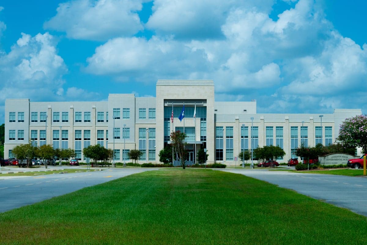
Photo: Wikipedia
Strategic Assessment of Livingston County
Workable tactical position. Some exposure to population density or targets, but generally defensible in a crisis.
What does the Strategic Assessment tell us?
Our Strategic Assessment grades tactical survivability of an area. Major population centers, military targets, fallout zones, natural disasters, and border exposure all drive risk — lower exposure means a more defensible position in a crisis.
This is heavily inspired by Joel Skousen's Strategic Relocation book. Highly recommended you checkout the book ($)What does this tell us?
Our Strategic Assessment grades tactical survivability of an area. Major population centers, military targets, fallout zones, natural disasters, and border exposure all drive risk — lower exposure means a more defensible position in a crisis.
This is heavily inspired by Joel Skousen's Strategic Relocation book. Highly recommended you checkout the book ($)Strategic Pillars

Key Distances
Strategic Assessment Analysis
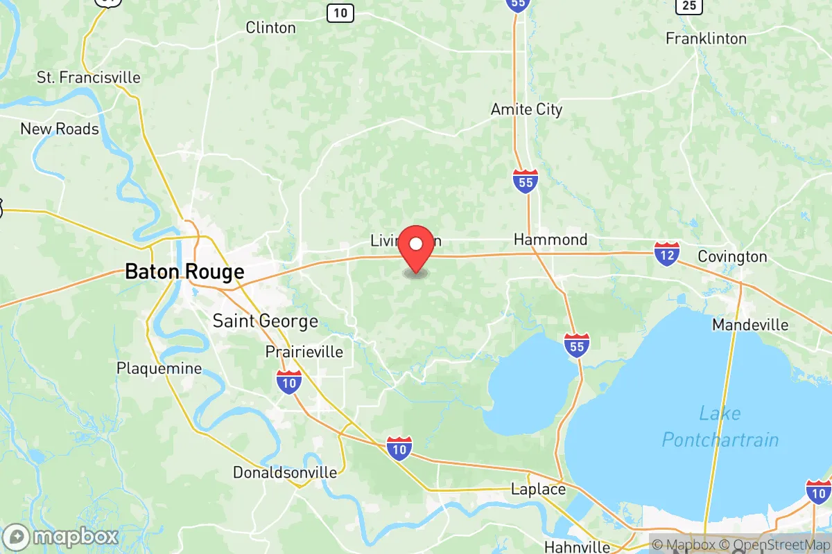
Livingston Parish, Louisiana, occupies a strategic position in the southeastern part of the state, offering a blend of rural self-sufficiency and proximity to major infrastructure that demands careful assessment for anyone prioritizing disaster readiness and long-term resilience. The parish, anchored by the town of Livingston and including communities like Denham Springs, Walker, and Springfield, sits roughly 40 miles northwest of New Orleans and 30 miles east of Baton Rouge. This location provides a buffer from the immediate fallout zones of those major urban centers while still allowing access to their resources, but it also places residents within a corridor of significant industrial and military assets that require scrutiny. For a relocator thinking seriously about preparedness, Livingston County offers a mixed picture: genuine natural advantages in terms of water and land, offset by real exposure to hurricane risks and proximity to high-value targets along the Mississippi River industrial corridor.
Geographic position and natural advantages for self-sufficiency
Livingston Parish sits on the eastern edge of the Florida Parishes, a region defined by its piney woods, rolling hills, and abundant waterways. Unlike the flat, flood-prone delta south of Lake Pontchartrain, this area features slightly higher elevation and better drainage, particularly in the northern parts of the parish around the town of Livingston and the Tickfaw River basin. The Amite River and the Tickfaw River both run through the parish, providing surface water sources that are less brackish and more accessible than those closer to the coast. The parish's soils, while sandy and not ideal for row crops, support timber, pasture, and small-scale gardening, which is relevant for anyone planning food production. The Kisatchie National Forest's southernmost districts are within a reasonable drive, offering public land for foraging and timber. The area's natural cover—dense pine and hardwood forests—provides a degree of visual and physical screening that is absent in the open agricultural plains to the west. For a relocator, the key takeaway is that Livingston Parish offers a workable natural base: reliable freshwater, decent soil for subsistence gardening, and terrain that supports both concealment and mobility.
Risk exposure and proximity to fallout-relevant landmarks
The most significant risk for Livingston Parish is its position within the hurricane strike zone. The parish has been directly impacted by major storms, including Hurricane Katrina in 2005 and the catastrophic flooding of the Amite River in 2016, which inundated large portions of Denham Springs and Walker. Flood risk is not uniform—elevation varies considerably—but anyone relocating here must verify FEMA flood maps and consider elevation above base flood level as a non-negotiable criterion. Beyond weather, the parish sits within a broader region dense with strategic infrastructure. Baton Rouge's industrial corridor, including the ExxonMobil refinery complex in Baton Rouge and the numerous chemical plants along the Mississippi River, lies just 30 miles to the west. The Louisiana Offshore Oil Port (LOOP), a major crude oil terminal, is roughly 50 miles south. Naval Air Station Joint Reserve Base New Orleans in Belle Chasse is about 60 miles southeast. While Livingston Parish itself contains no major military bases or refineries, its location between Baton Rouge and New Orleans means it lies within the potential fallout and disruption zone of any major event targeting those areas. The Port of Greater Baton Rouge and the Port of South Louisiana are both within 50 miles, making the region a plausible secondary target in a conflict scenario. For the preparedness-minded, this proximity is a clear negative: the parish is not a primary target, but it is close enough to experience cascading effects from infrastructure failures, population displacement, or contamination events originating from those sites.
Practical resilience for a relocator: food, water, energy, and defensibility
For someone serious about self-sufficiency, Livingston Parish offers a mixed but workable environment. Water is the strongest asset: the Amite and Tickfaw Rivers are perennial, and the parish's groundwater aquifers are generally reliable, though well depth and quality vary. Rainwater catchment is viable given the region's 60+ inches of annual precipitation. Food production is feasible but requires effort. The sandy, acidic soil typical of the piney woods needs amendment for vegetable gardening, but the long growing season (March through October) and mild winters allow for nearly year-round production. Deer and wild hog populations are robust, providing a protein source for those with hunting access. Energy is a vulnerability: the parish is served by Entergy Louisiana and DEMCO, both of which are subject to hurricane-related outages that can last days or weeks. Solar potential is moderate—the region gets about 60% of possible sunshine, less than the Southwest, but enough for a well-sized off-grid system with battery storage. Wood heating is practical given the abundant timber. Defensibility is a nuanced factor. The parish's rural character, with large tracts of private timberland and scattered homesteads, offers natural separation between properties. The town of Livingston itself is small (roughly 1,800 residents) and low-profile. However, the parish's population has grown significantly since 2000, and suburban sprawl from Baton Rouge is pushing eastward along Interstate 12. The corridor between Denham Springs and Walker is increasingly developed, which reduces both privacy and defensibility. For a relocator, the strategic play is to buy land north of Interstate 12, closer to the Tickfaw River or the Livingston Parish line near St. Helena Parish, where population density drops and natural cover increases.
The overall strategic picture for Livingston Parish is one of calculated trade-offs. It offers genuine advantages in water availability, growing season length, and natural cover that are rare in the Gulf South, and its distance from the immediate blast zones of Baton Rouge and New Orleans provides a meaningful buffer. The risks are real: hurricane and flood exposure are non-negotiable, and the parish sits within the shadow of some of the most concentrated industrial and military infrastructure in the United States. For a relocator who is willing to invest in elevation, flood mitigation, and a degree of energy independence, and who chooses a property north of the I-12 corridor, Livingston Parish can serve as a viable base for a resilient lifestyle. It is not a remote retreat—it is a semi-rural buffer zone with both the benefits and the vulnerabilities that come from being close to major population and industrial centers. The key is to treat the parish as what it is: a strategic middle ground, not a final redoubt.

* Values derived from national, state, county, city and local statistics and may differ in a specific area. Last updated: 2026-08-08T17:10:30.000Z
Narrative content on this page is AI-generated and may contain mistakes. Verify any details that matter before acting on them.
ReloMaps may earn a commission from affiliate links at no extra cost to you.

