
Photo by Joshua J. Cotten on Unsplash
Strategic Assessment of St Tammany County
Meaningful friction. Expect exposure to either population pressure, blast zones, or natural disaster risk. Consider buying a retreat property.
What does the Strategic Assessment tell us?
Our Strategic Assessment grades tactical survivability of an area. Major population centers, military targets, fallout zones, natural disasters, and border exposure all drive risk — lower exposure means a more defensible position in a crisis.
This is heavily inspired by Joel Skousen's Strategic Relocation book. Highly recommended you checkout the book ($)What does this tell us?
Our Strategic Assessment grades tactical survivability of an area. Major population centers, military targets, fallout zones, natural disasters, and border exposure all drive risk — lower exposure means a more defensible position in a crisis.
This is heavily inspired by Joel Skousen's Strategic Relocation book. Highly recommended you checkout the book ($)Strategic Pillars

Key Distances
Strategic Assessment Analysis
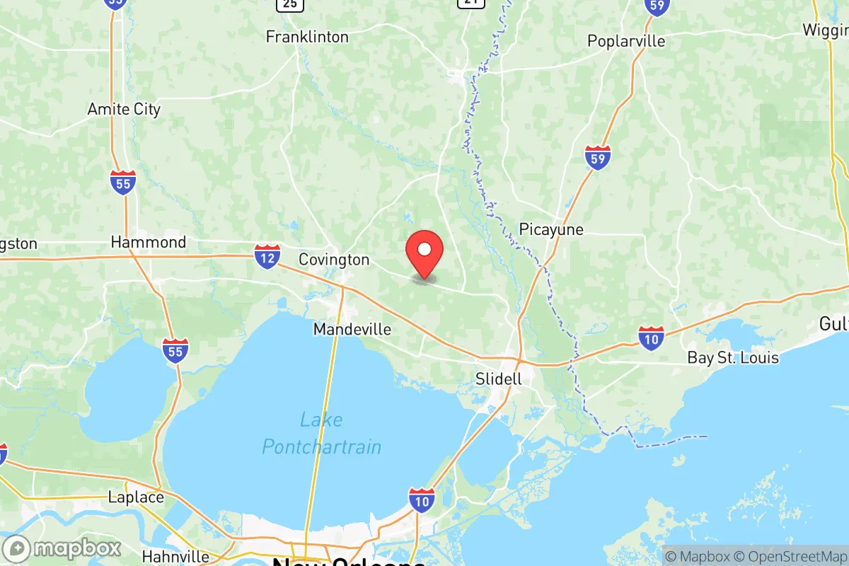
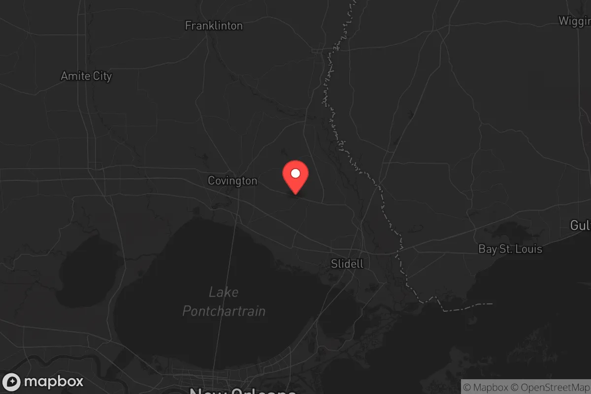
St. Tammany Parish offers a compelling mix of geographic resilience and strategic positioning for relocators prioritizing disaster readiness and self-sufficiency, sitting squarely between the vulnerabilities of the Gulf Coast and the sprawl of New Orleans. Its location on the north shore of Lake Pontchartrain places it roughly 40 miles from downtown New Orleans, yet separated by a 24-mile causeway that creates a natural chokepoint for both access and egress. The parish’s population of roughly 270,000 is concentrated in towns like Covington, Mandeville, Slidell, and the more rural Folsom and Bush, giving residents a choice between suburban convenience and semi-rural acreage with defensible space.
Geographic position and natural advantages for disaster readiness
St. Tammany’s primary strategic advantage is its elevation relative to the rest of the region. Unlike Orleans Parish or much of Jefferson Parish, which sit near or below sea level, large portions of St. Tammany — particularly north of Interstate 12 — sit at 30 to 50 feet above sea level, with some ridges near Abita Springs and Covington reaching over 100 feet. This elevation dramatically reduces storm surge risk from hurricanes, which is the primary natural threat to the Gulf Coast. The parish is also heavily forested with pine and hardwood stands, offering natural windbreaks, timber for fuel, and abundant wildlife for subsistence hunting. The Bogue Chitto and Tchefuncte rivers provide surface water sources, though both are subject to flooding during heavy rain events. For a relocator thinking about long-term self-sufficiency, the combination of high ground, forest cover, and freshwater access is rare this close to a major metro area.
Risks, exposures, and proximity to fallout-relevant landmarks
The parish’s proximity to New Orleans and the Mississippi River industrial corridor is a double-edged sword. While the economic benefits are real, the area sits within 50 miles of the Louisiana Offshore Oil Port (LOOP) and the massive refineries in St. Charles and St. John the Baptist parishes, including the Marathon refinery in Garyville. These are high-value targets in any conflict scenario, and prevailing winds from the south could carry fallout or airborne contaminants directly over St. Tammany. The NASA Michoud Assembly Facility in New Orleans East, which builds rocket stages and is a designated strategic national asset, lies roughly 30 miles south of Slidell. The parish also hosts the Slidell Municipal Airport and is within 60 miles of Naval Air Station Joint Reserve Base New Orleans in Belle Chasse, which operates P-8 Poseidon maritime patrol aircraft. For a relocator weighing man-made risks, the eastern half of the parish — particularly Slidell and Pearl River — is more exposed to secondary effects from a strike on New Orleans or the industrial corridor, while the western and northern areas around Covington and Folsom offer greater standoff distance.
Practical resilience for a relocator: food, water, energy, and defensibility
St. Tammany’s practical resilience is mixed. The parish has no municipal water supply that covers the entire area; many residents rely on private wells or small water systems, which is actually an advantage for self-sufficiency if you own the well and have a backup pump. The local power grid is served by Cleco and Entergy, both of which have experienced extended outages after hurricanes — Hurricane Ida in 2021 left some areas without power for over two weeks. Solar adoption is growing but not yet widespread, and the parish’s tree canopy means solar panels require careful siting. For food security, the parish has a strong local farming and gardening culture, with farmers markets in Covington and Mandeville operating year-round, and the LSU AgCenter extension office in Covington offers resources for home food production. Defensibility is a mixed picture: the parish is long and narrow east-to-west, with only a handful of major roads crossing the Pearl River into Mississippi or the Lake Pontchartrain Causeway into New Orleans. This creates natural chokepoints that could be controlled, but also means evacuation routes are limited and can gridlock during a crisis. The rural northern areas around Bush and Sun offer the best combination of acreage, low population density, and distance from major infrastructure targets.
Overall, St. Tammany Parish presents a solid strategic option for the relocator who wants proximity to Gulf Coast resources without living inside the blast radius of New Orleans or the refinery corridor. The parish’s elevation, forest cover, and freshwater access are genuine advantages for long-term resilience, while its exposure to hurricane wind damage and the risks from nearby industrial and military targets are real but manageable with proper planning. For a family or individual willing to invest in well water, solar backup, and a defensible property north of I-12, St. Tammany offers one of the better risk-reward profiles in the Gulf South — close enough to access urban infrastructure, far enough to survive its failure.

* Values derived from national, state, county, city and local statistics and may differ in a specific area. Last updated: 2026-08-08T14:13:58.000Z
Narrative content on this page is AI-generated and may contain mistakes. Verify any details that matter before acting on them.
ReloMaps may earn a commission from affiliate links at no extra cost to you.

