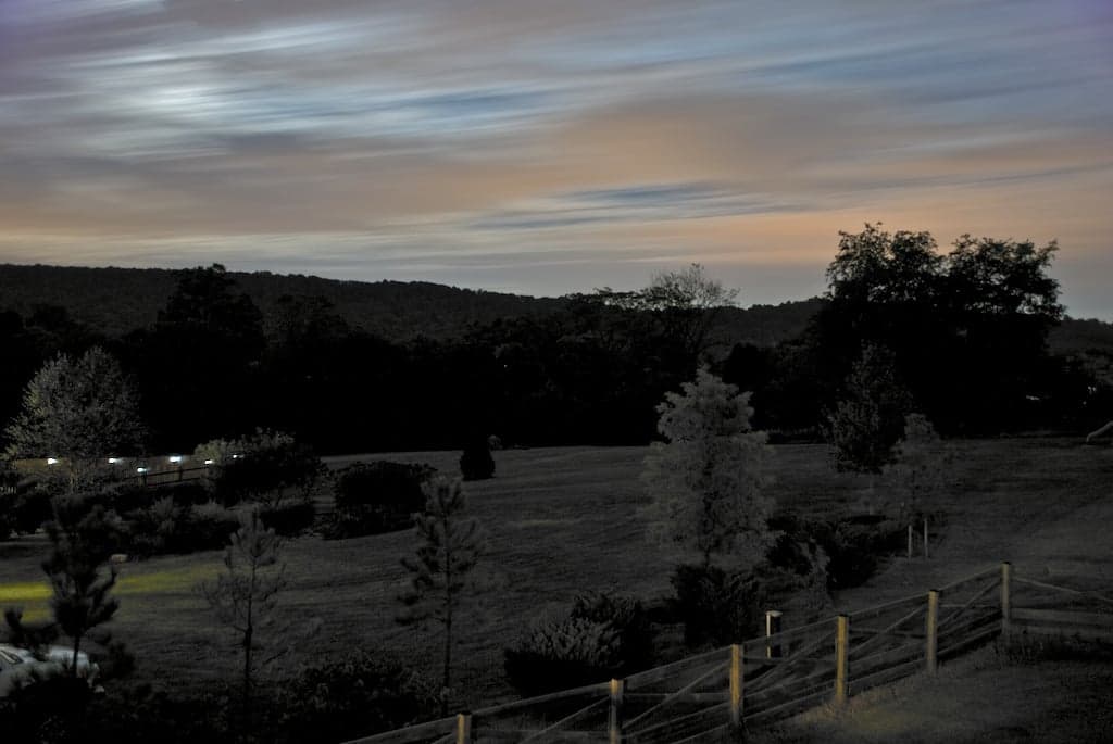
Photo: Wikipedia
Strategic Assessment of Lovettsville, VA
Meaningful friction. Expect exposure to either population pressure, blast zones, or natural disaster risk. Consider buying a retreat property.
What does the Strategic Assessment tell us?
Our Strategic Assessment grades tactical survivability of an area. Major population centers, military targets, fallout zones, natural disasters, and border exposure all drive risk — lower exposure means a more defensible position in a crisis.
This is heavily inspired by Joel Skousen's Strategic Relocation book. Highly recommended you checkout the book ($)What does this tell us?
Our Strategic Assessment grades tactical survivability of an area. Major population centers, military targets, fallout zones, natural disasters, and border exposure all drive risk — lower exposure means a more defensible position in a crisis.
This is heavily inspired by Joel Skousen's Strategic Relocation book. Highly recommended you checkout the book ($)Strategic Pillars

Key Distances
Regional Safe Places
Below is our recommended "safe zones" in Virginia and the surrounding area based on our strategic heuristics. For most people, it's unrealistic to live in a “safe zone” full-time due to work, family or other personal reasons. They tend to be more rural. However, many of these areas are perfect for second homes and retreat properties that double as a vacation home or even a short-term rental.




Important Note: For informational purposes only. This does not mean nothing bad ever happens in the green zones. Please use common sense. This is based on public data and modeled with AI. We tried to take a conservative approach but mistakes happen. We update this regularly as new information becomes available.
Solar Generator Recommendations
Backup power matters more here than in safer locations. We've picked three solar generators across budgets and capacity tiers — start with the budget unit if you only need a few essentials, or step up if you want to run a fridge and HVAC for days at a time.

Jackery Portable Power Station Explorer 300
Budget OptionPower on the Go: Weighing only 11 lbs, it's convenient to set up and store with book-sized foldable solar panels

BLUETTI Portable Power Station AC180
Designed for both indoor and outdoor scenarios, AC180 is highly capable as it has a robost capacity and continuous output power.

EF ECOFLOW DELTA Pro Ultra Power Station
Upgraded PickEcoFlow DELTA Pro Ultra is a whole-home energy system designed to grow with your family. Integrated with the Smart Home Panel 2, it scales to meet your evolving energy needs — keeping your home powered, intelligent, and secure through every stage of life.
We earn a commission, at no additional cost to you.
Strategic Assessment Analysis
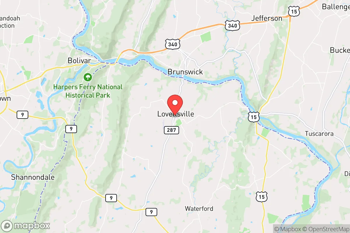
Lovettsville, Virginia, offers a compelling strategic profile for the relocation-minded reader focused on resilience and self-sufficiency, primarily due to its position at the northern tip of Loudoun County, where the Blue Ridge foothills meet the Potomac River. This location provides a rare combination of physical separation from major metropolitan centers—roughly 50 miles from Washington, D.C.—while still maintaining access to essential supply routes and infrastructure. The town’s small population (around 2,500) and low-density development pattern create a natural buffer against the cascading failures that can plague dense urban areas, making it a serious candidate for those prioritizing long-term stability over convenience.
Geographic position and natural advantages for long-term stability
Lovettsville sits on a elevated plateau overlooking the Potomac River, with the Catoctin Mountain range rising to the west. This topography offers several concrete resilience benefits. The elevation—roughly 500 to 700 feet above sea level—places the town well above the floodplains of the Potomac, a significant advantage compared to downstream communities like Harpers Ferry or Brunswick. The surrounding hills and ridges provide natural windbreaks and create microclimates that can moderate temperature extremes, which is relevant for both agriculture and energy efficiency. The area’s geology is dominated by limestone and shale bedrock, which supports reliable groundwater wells—a critical factor for water security when municipal systems fail. Soils in the Lovettsville area are generally well-drained and suitable for small-scale farming, with the historic German settlement pattern reflecting generations of agricultural self-sufficiency. The proximity to the Potomac also means access to a major, perennial water source, though the river’s flow is regulated by upstream dams, which introduces a dependency worth noting.
Risk exposure: natural threats and proximity to fallout-relevant landmarks
No location is without risk, and Lovettsville’s strategic profile includes several exposures that a serious relocator must weigh. The primary natural threat is severe weather, particularly derechos and winter storms that can knock out power for days or weeks—the 2012 derecho left parts of Loudoun County without electricity for up to 10 days. The area lies in a moderate seismic zone; while major earthquakes are rare, the 2011 Mineral, Virginia earthquake (5.8 magnitude) was felt strongly here and caused minor structural damage. Wildfire risk is low but not zero, especially in dry years when the surrounding woodlands can carry fire. The more significant concern is man-made: Lovettsville is roughly 35 miles from the Point of Rocks, Maryland, a major rail and pipeline corridor for hazardous materials, and about 40 miles from the Calvert Cliffs Nuclear Power Plant in Maryland. While these distances provide a meaningful safety buffer, a worst-case event at either location could affect air or water quality. The town’s proximity to the Dulles International Airport (25 miles) and the broader D.C. metro area means it lies within the fallout zone of any large-scale disruption to the federal government or military installations—a key consideration for those prioritizing isolation from national-level targets. However, Lovettsville’s position on the far northern edge of the D.C. exurbs means it is less likely to be a primary target than areas closer to the Beltway.
Practical resilience for a relocator: food, water, energy, and defensibility
For someone serious about self-sufficiency, Lovettsville offers a mix of existing infrastructure and community characteristics that support a resilient lifestyle. Water security is the strongest asset: many properties in the area have private wells, and the local water table is reliable at depths of 100-200 feet. The Potomac River is a backup source, though accessing it requires crossing private land or using public access points. Food production is viable: the growing season runs roughly April to October, and the soil supports vegetables, fruit trees, and small livestock. The town has a farmers market and several local farms, but for full self-sufficiency, a relocator would need to invest in fencing, irrigation, and cold storage. Energy resilience is a weak point: the grid is served by Dominion Energy, and outages are common during storms. Solar potential is good—the area averages about 200 sunny days per year—but homeowners must navigate HOA restrictions in some subdivisions. Wood heating is practical given the surrounding forests, but air quality regulations in Loudoun County limit outdoor burning. Defensibility is moderate: Lovettsville is not a gated community, but its layout—a compact historic core surrounded by rural roads and farmland—makes it easier to monitor access points than a sprawling suburb. The local sheriff’s office has a substation in town, and the community is small enough that neighbors know each other, which is a social resilience factor that cannot be overstated. The nearest hospital is 15 miles away in Leesburg, and the closest trauma center is in Washington, D.C., which is a vulnerability for medical emergencies during a crisis.
The overall strategic picture for Lovettsville is one of a well-positioned but not invulnerable location. Its strengths—elevation, water access, agricultural potential, and distance from primary targets—make it a strong candidate for those who want a base within a few hours of the D.C. region but not directly in the line of fire. The weaknesses—grid dependency, moderate storm risk, and proximity to transportation corridors—are manageable with planning and investment. For a relocator who is willing to drill a well, install solar panels, and build community relationships, Lovettsville offers a realistic foundation for long-term resilience. It is not a survivalist compound, but it is a place where a prepared family can weather most disruptions while maintaining a connection to the broader economy and society. The key is to treat it as a base to be hardened, not a finished product—and to understand that its greatest asset is the combination of natural advantages and a community that, while not explicitly prepper-oriented, is rooted in a tradition of rural self-reliance.

* Values derived from national, state, county, city and local statistics and may differ in a specific area. Last updated: 2026-08-24T22:48:36.000Z
Narrative content on this page is AI-generated and may contain mistakes. Verify any details that matter before acting on them.
ReloMaps may earn a commission from affiliate links at no extra cost to you.

