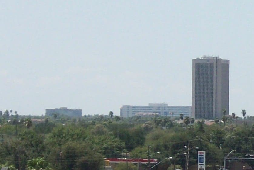
Photo: Wikipedia
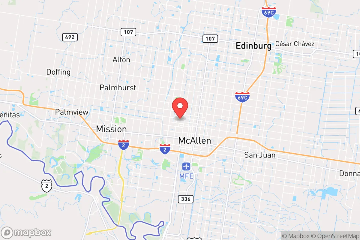
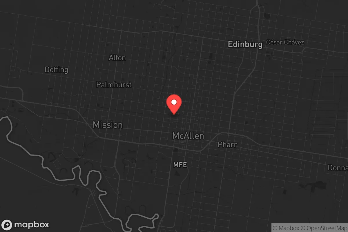
Strategic Assessment of McAllen, TX
Meaningful friction. Expect exposure to either population pressure, blast zones, or natural disaster risk. Consider buying a retreat property.
What does the Strategic Assessment tell us?
Our Strategic Assessment grades tactical survivability of an area. Major population centers, military targets, fallout zones, natural disasters, and border exposure all drive risk — lower exposure means a more defensible position in a crisis.
This is heavily inspired by Joel Skousen's Strategic Relocation book. Highly recommended you checkout the book ($)What does this tell us?
Our Strategic Assessment grades tactical survivability of an area. Major population centers, military targets, fallout zones, natural disasters, and border exposure all drive risk — lower exposure means a more defensible position in a crisis.
This is heavily inspired by Joel Skousen's Strategic Relocation book. Highly recommended you checkout the book ($)Strategic Pillars

Key Distances
Regional Safe Places
Below is our recommended "safe zones" in Texas and the surrounding area based on our strategic heuristics. For most people, it's unrealistic to live in a “safe zone” full-time due to work, family or other personal reasons. They tend to be more rural. However, many of these areas are perfect for second homes and retreat properties that double as a vacation home or even a short-term rental.


Important Note: For informational purposes only. This does not mean nothing bad ever happens in the green zones. Please use common sense. This is based on public data and modeled with AI. We tried to take a conservative approach but mistakes happen. We update this regularly as new information becomes available.
Solar Generator Recommendations
Backup power matters more here than in safer locations. We've picked three solar generators across budgets and capacity tiers — start with the budget unit if you only need a few essentials, or step up if you want to run a fridge and HVAC for days at a time.

Jackery Portable Power Station Explorer 300
Budget OptionPower on the Go: Weighing only 11 lbs, it's convenient to set up and store with book-sized foldable solar panels

BLUETTI Portable Power Station AC180
Designed for both indoor and outdoor scenarios, AC180 is highly capable as it has a robost capacity and continuous output power.

EF ECOFLOW DELTA Pro Ultra Power Station
Upgraded PickEcoFlow DELTA Pro Ultra is a whole-home energy system designed to grow with your family. Integrated with the Smart Home Panel 2, it scales to meet your evolving energy needs — keeping your home powered, intelligent, and secure through every stage of life.
We earn a commission, at no additional cost to you.
Strategic Assessment Analysis
McAllen, Texas, presents a complex strategic picture for the conservative prepper or survivalist. Its primary resilience advantage is its deep geographic insulation from the most volatile national fault lines, but this comes with its own set of unique exposures. Located in the Rio Grande Valley, roughly 60 miles from the Gulf of Mexico and directly on the U.S.-Mexico border, McAllen is far from the major population corridors of the Northeast, West Coast, and even the Dallas-Houston-Austin triangle, offering a genuine buffer from the cascading effects of a national grid collapse, civil unrest, or a major terrorist event targeting symbolic or economic hubs. However, this same border proximity introduces a distinct set of security and logistical considerations that a relocator must weigh carefully.
Geographic isolation and the border buffer: natural advantages for a retreat
McAllen’s location is its strongest card. It sits in the southernmost tip of Texas, a region that is effectively a cul-de-sac. The nearest major metropolitan areas are San Antonio (240 miles north) and Houston (340 miles northeast). In a scenario of widespread civil unrest or a breakdown in supply chains, this distance acts as a natural filter. The population density of Hidalgo County is moderate, and the surrounding ranchlands and agricultural areas provide a degree of open space that is absent in the suburban sprawl of Dallas or the coastal density of Corpus Christi. The climate is subtropical, which means no winter fuel crisis for heating and a long growing season for subsistence gardening—a critical advantage for food security. The region is also relatively low-risk for natural disasters like earthquakes, tornadoes, or wildfires, though it is squarely in hurricane alley. The key natural advantage is the lack of strategic targets: no major military bases, no Fortune 500 headquarters, no nuclear power plants, and no major transportation chokepoints like the I-95 corridor. In a national emergency, McAllen is unlikely to be a primary target or a major chokepoint for relief or conflict, which is precisely what a survivalist wants.
Border proximity, cartel activity, and fallout exposure: the real risks
The most significant risk is the immediate proximity to the Mexican border. Reynosa, a city of over 700,000 people, is directly across the Rio Grande. This creates a persistent, low-level security concern. Cartel violence, while often sensationalized in media, is a real factor. Shootouts, kidnappings, and extortion operations in Reynosa can spill over, and the border itself is a known corridor for human and drug trafficking. For a prepper, this means your perimeter is not just the city limits; it’s an international boundary with a volatile neighbor. A mass casualty event or a coordinated attack on U.S. soil could easily originate from or be facilitated through this crossing. Furthermore, the border wall and the heavy presence of Border Patrol and local law enforcement mean that any major disruption—like a sudden collapse of Mexican governance or a mass migration event—would immediately overwhelm local resources. The area is also within 150 miles of the South Texas Nuclear Generating Station near Bay City, a potential fallout source in a worst-case scenario, though prevailing winds generally blow eastward. The practical risk is not a direct nuclear strike but the cascading chaos of a border crisis coinciding with a national emergency.
Practical resilience for the relocator: food, water, energy, and defensibility
For a single individual or family looking to establish a resilient homestead, McAllen offers a mixed bag. Water is the most critical vulnerability. The region is semi-arid, receiving about 20 inches of rain annually, and relies heavily on the Rio Grande and the Amistad-Falcon reservoir system. In a prolonged drought or if the river is compromised by upstream diversion or contamination, water security becomes a serious issue. A deep well is a must for any serious prepper property, but groundwater quality can be variable. On the positive side, the long growing season allows for year-round food production. Citrus, avocados, and vegetables thrive, and local farmers' markets are abundant. Energy is a relative strength: the region has excellent solar insolation, making off-grid solar power highly viable. Natural gas is also cheap and widely available. Defensibility is a challenge. The terrain is flat and open, offering little natural cover. A rural property outside the city limits would require a robust perimeter—fencing, cameras, and a good neighbor network. The local culture is heavily conservative, family-oriented, and Spanish-influenced, which means a strong sense of community and mutual aid exists, but it also means you will be an outsider for a long time. Building trust with local ranchers and farmers is your best defensive asset. The city itself has a decent hospital system (DHR Health) and a regional airport, but in a collapse scenario, you would want to be self-sufficient for at least 90 days.
The overall strategic picture for McAllen is one of a high-risk, high-reward frontier. It offers genuine isolation from the major national fault lines of the Northeast and West Coast, a climate conducive to self-sufficiency, and a deeply conservative, self-reliant local culture. But that isolation is purchased at the price of living on a volatile international border with a failing state next door. For a prepper who is comfortable with a low-profile, rural lifestyle and who can invest in water infrastructure and a strong perimeter, McAllen could be a viable long-term retreat. For someone seeking a quiet, low-maintenance suburban existence with minimal risk, the border exposure and the flat, exposed terrain are serious liabilities. This is not a place for the faint of heart; it is a place for the prepared, the adaptable, and the community-minded. The key is to be in the county, not the city, and to have a plan for the border that doesn't rely on the federal government showing up in time.
* Values derived from national, state, county, city and local statistics and may differ in a specific area. Last updated: 2026-04-26T21:00:21.000Z
Narrative content on this page is AI-generated and may contain mistakes. Verify any details that matter before acting on them.
ReloMaps may earn a commission from affiliate links at no extra cost to you.