
Photo: Wikipedia
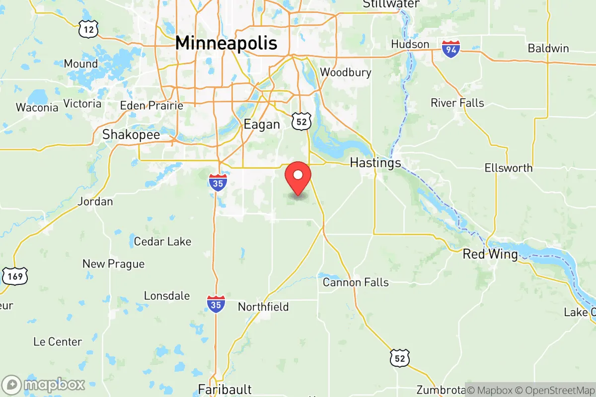
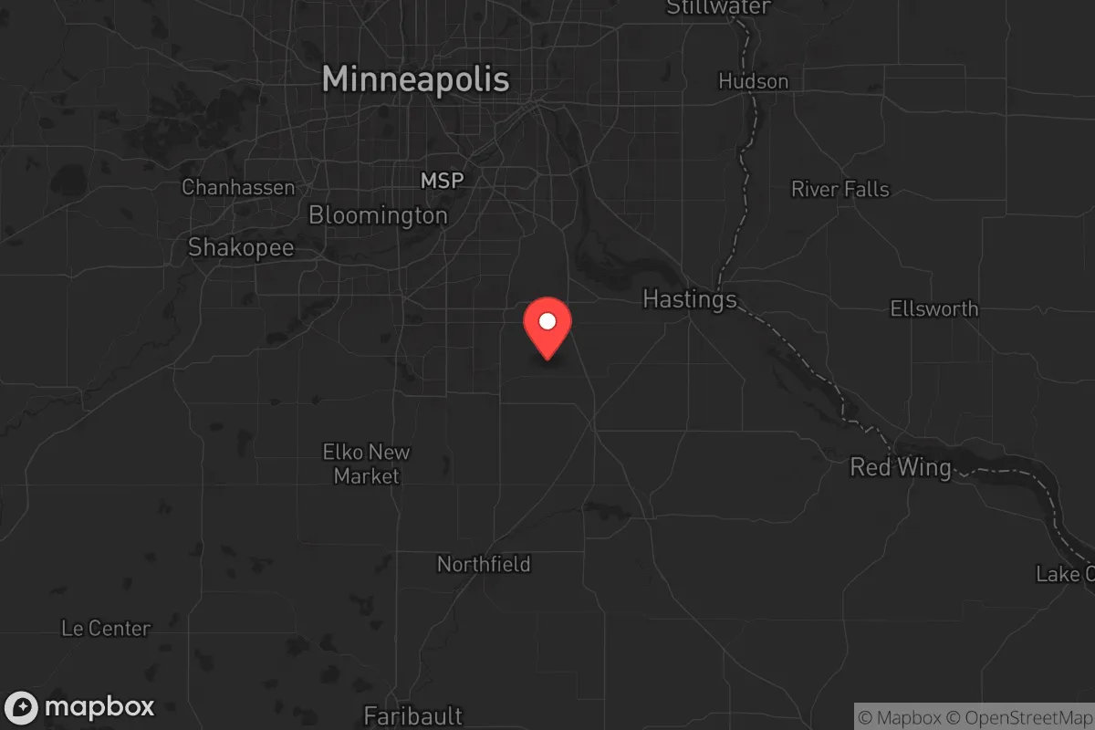
Strategic Assessment of Dakota County
Meaningful friction. Expect exposure to either population pressure, blast zones, or natural disaster risk. Consider buying a retreat property.
What does the Strategic Assessment tell us?
Our Strategic Assessment grades tactical survivability of an area. Major population centers, military targets, fallout zones, natural disasters, and border exposure all drive risk — lower exposure means a more defensible position in a crisis.
This is heavily inspired by Joel Skousen's Strategic Relocation book. Highly recommended you checkout the book ($)What does this tell us?
Our Strategic Assessment grades tactical survivability of an area. Major population centers, military targets, fallout zones, natural disasters, and border exposure all drive risk — lower exposure means a more defensible position in a crisis.
This is heavily inspired by Joel Skousen's Strategic Relocation book. Highly recommended you checkout the book ($)Strategic Pillars

Key Distances
Strategic Assessment Analysis
Dakota County, Minnesota, sits in a strategic sweet spot that resilience-minded relocators should take seriously: close enough to the county offers a rare combination of agricultural self-sufficiency, freshwater abundance, and proximity to the Twin Cities without being swallowed by them. For those concerned about civic unrest, supply chain disruptions, or mass casualty events, this area provides a defensible buffer zone—close enough to access regional resources, far enough to avoid the worst fallout of urban collapse. The county’s position along the Mississippi River and its network of smaller towns like Hastings, Farmington, and Northfield gives relocators multiple fallback options within a single jurisdiction.
Geographic position and natural advantages for long-term stability
Dakota County’s geography is its first line of defense. The Mississippi River forms its eastern boundary, providing a natural barrier and a reliable water source that doesn’t depend on municipal infrastructure. The county sits on the bluffs and river terraces of the Driftless Area, meaning higher ground with good drainage—critical for avoiding floodplain vulnerabilities while still having access to river water. Over 40% of the county’s land is in agricultural production, primarily corn and soybeans, which means local food production is not a hypothetical but a daily reality. Towns like Hastings and Farmington are surrounded by working farms, and the county’s extensive network of county roads and state highways (including US-52 and MN-3) offers multiple egress routes if major interstates like I-35 or I-494 become compromised. The presence of Lebanon Hills Regional Park and the Mississippi River National Recreation Area provides thousands of acres of public land for foraging, hunting, and emergency camping—assets that are hard to overstate in a grid-down scenario.
Risks, exposures, and proximity to fallout-relevant landmarks
No area is without vulnerabilities, and Dakota County has several that a prepper must weigh. The most obvious is its proximity to the Twin Cities metro area—the county’s northern edge is less than 10 miles from downtown St. Paul, meaning any major civil unrest, EMP event, or disease outbreak in the metro will send waves of refugees southward. The county is also bisected by I-35, a major north-south corridor that would become a choke point during an evacuation. On the industrial side, the Pine Bend Refinery in nearby Rosemount is one of the largest oil refineries in the Upper Midwest, processing over 350,000 barrels per day. While it’s a critical fuel source, it’s also a prime target for sabotage or accident—a worst-case release could contaminate air and water across the southern half of the county. Additionally, the Prairie Island Nuclear Generating Plant is just across the river in Goodhue County, about 20 miles southeast of Hastings. A worst-case scenario there would put much of eastern Dakota County in a fallout plume. The county’s two major hospitals—Fairview Ridges in Burnsville and Regina Medical Center in Hastings—are adequate for routine care but would be overwhelmed in a mass casualty event, so medical self-sufficiency is non-negotiable.
Practical resilience for a relocator: food, water, energy, and defensibility
For a family or individual looking to hunker down, Dakota County offers a mix of suburban and rural options that can be tailored to your risk tolerance. Water is the county’s strongest asset: the Mississippi River is supplemented by the Vermillion River and numerous glacial lakes like Lake Byllesby and Lake Rebecca. Groundwater is plentiful and generally clean, though well depth varies—any rural property should have a tested well and a hand-pump backup pump. Food resilience is high iffy in the suburbs but excellent in the southern half of the county. Northfield and Farmington both host weekly farmers’ markets from May through October, and the county’s agricultural extension office offers free soil testing and canning classes. For energy, the county is served by Xcel Energy, which has a mixed grid (natural gas, coal, nuclear, and wind). Solar is viable—the county averages 200 sunny days per year—but battery storage is essential for grid-down scenarios. Defensibility varies by location: the river bluffs near Hastings offer natural chokepoints, while the open farmland around Farmington provides long sightlines but limited cover. The county’s law enforcement presence is robust—the Dakota County Sheriff’s Office has substations in Hastings, Farmington, and Burnsville—but in a prolonged crisis, you cannot rely on them. Firearm ownership is common but not universal; the county has a mix of rural hunters and suburban families, so you won’t stand out for having a rifle, but you also won’t find the same gun culture as in rural Texas or Montana. The best defensive strategy is to choose a property with a single access road, a well, and enough land to grow a year’s worth of calories.
The overall strategic picture for Dakota County is one of calculated trade-offs. It’s not a remote bunker location—you’re still within 30 minutes of a major metro area, a nuclear plant, and a refinery. But for someone who wants to maintain a professional career or access to the Twin Cities while having a genuine fallback position, it’s one of the better options in the Upper Midwest. The county’s agricultural base, water abundance, and multiple egress routes give it a resilience score that most suburban counties cannot match. The key is to avoid the northern suburbs (Burnsville, Eagan, Apple Valley) that are too close to the metro and too dependent on grid infrastructure, and instead focus on the southern tier—Hastings, Farmington, Northfield—where you can buy a few acres, drill a well, and build a network of like-minded neighbors. If you’re serious about being prepared for the next decade, Dakota County deserves a hard look. Just don’t forget the iodine tablets and a good water filter.
* Values derived from national, state, county, city and local statistics and may differ in a specific area. Last updated: 2026-05-19T12:04:28.000Z
Narrative content on this page is AI-generated and may contain mistakes. Verify any details that matter before acting on them.
ReloMaps may earn a commission from affiliate links at no extra cost to you.