
Photo: Wikipedia
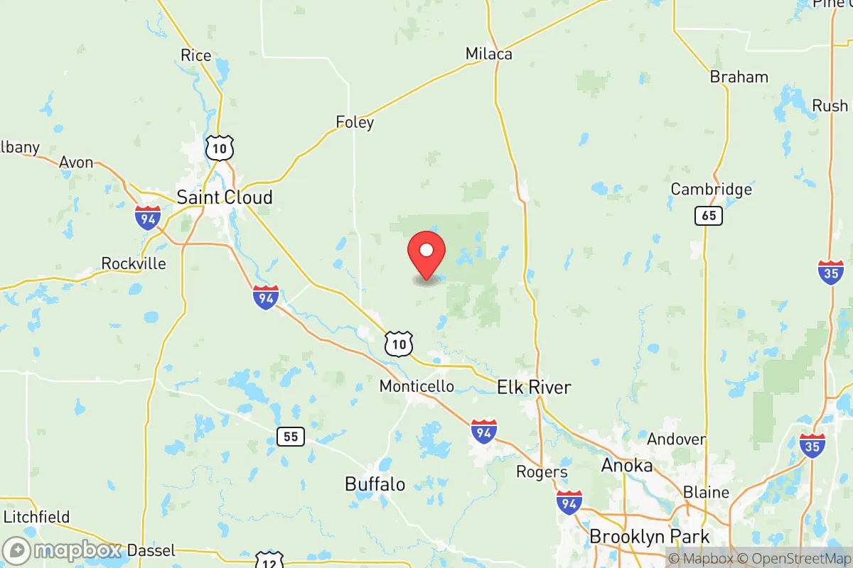
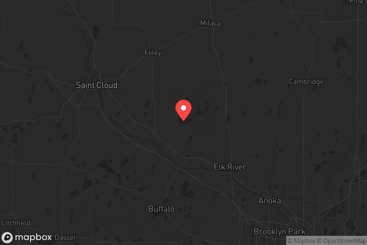
Strategic Assessment of Sherburne County
Workable tactical position. Some exposure to population density or targets, but generally defensible in a crisis.
What does the Strategic Assessment tell us?
Our Strategic Assessment grades tactical survivability of an area. Major population centers, military targets, fallout zones, natural disasters, and border exposure all drive risk — lower exposure means a more defensible position in a crisis.
This is heavily inspired by Joel Skousen's Strategic Relocation book. Highly recommended you checkout the book ($)What does this tell us?
Our Strategic Assessment grades tactical survivability of an area. Major population centers, military targets, fallout zones, natural disasters, and border exposure all drive risk — lower exposure means a more defensible position in a crisis.
This is heavily inspired by Joel Skousen's Strategic Relocation book. Highly recommended you checkout the book ($)Strategic Pillars

Key Distances
Strategic Assessment Analysis
Sherburne County, Minnesota, sits in a strategic sweet spot that resilience-minded relocators rarely find: close enough to the Twin Cities to access medical and supply networks, yet far enough that a major civic disruption in the metro won't wash over your doorstep. The county's population hovers around 100,000, with most folks clustered in Elk River, Big Lake, and Becker—towns that feel like rural strongholds but still have a Walmart, a hardware store, and a grain elevator. For a conservative-leaning individual or family looking to plant roots somewhere that can weather economic storms, civil unrest, or supply chain breakdowns, this corner of the state offers a defensible position without requiring you to live off-grid in a yurt. The key is understanding where the vulnerabilities lie and whether the trade-offs align with your risk tolerance.
Geographic position and natural advantages for long-term stability
Sherburne County sits about 40 miles northwest of Minneapolis, straddling the Mississippi River and the rolling moraines of central Minnesota. The county's western edge touches the Mississippi at Elk River, giving residents direct access to a major freshwater artery—critical for both irrigation and emergency water supply if municipal systems fail. The terrain is a mix of hardwood forests, agricultural fields, and scattered lakes, which means you've got natural cover, decent soil for gardening, and plenty of game for hunting. The Sherburne National Wildlife Refuge covers over 30,000 acres of wetlands and prairie, a massive buffer zone that limits dense development and provides a natural barrier against urban sprawl. From a prepper's perspective, the county's position on the St. Croix River watershed also means groundwater is generally plentiful and shallow, so well-drilling is viable in most areas. The climate is harsh—winters hit -20°F with snowpack lasting months—but that cold itself is a defensive asset: it discourages transient populations and limits the mobility of any unrest that might bubble up from the cities.
Risks, exposures, and proximity to fallout-relevant landmarks
No place is a fortress, and Sherburne County has its share of liabilities. The most obvious is the Xcel Energy Sherco plant in Becker—a massive coal-fired power station that's been a regional electricity backbone for decades. While the plant is scheduled to transition to natural gas and solar by 2030, it remains a high-profile industrial target. If you're mapping worst-case scenarios—EMP, sabotage, or a major accident—the plume zone from a Sherco incident could affect eastern parts of the county, particularly Becker and Big Lake. Additionally, the Northern States Power transmission corridor runs through the county, with high-voltage lines that are visible from miles away. These are potential chokepoints for grid-dependent households. On the human-risk side, the county's proximity to the Twin Cities (about a 45-minute drive from downtown Minneapolis) means that any large-scale civil unrest in the metro could push refugees or supply disruptions north along Highway 169 and Interstate 94. The Elk River area, being the county seat and largest town, would likely become a staging point for emergency services—which also makes it a potential target for looting or resource competition if things get ugly. Finally, while there are no active military bases in Sherburne County, the Camp Ripley training facility is about 60 miles north in Morrison County. That's close enough that National Guard convoys might route through Sherburne during a mobilization, but far enough that you won't be living in a blast zone.
Practical resilience for a relocator: food, water, energy, and defensibility
For a family or individual serious about self-sufficiency, Sherburne County offers a workable mix of rural infrastructure and access to resources. Water is the first concern, and the county's position on the Mississippi means surface water is abundant, but you'll want a private well with a hand pump or a backup generator—municipal systems in Elk River and Big Lake are reliable day-to-day but vulnerable to power outages. Food production is viable: the county has over 1,000 farms, mostly corn, soybeans, and dairy, so local food networks exist. The Elk River Farmers Market runs seasonally, and you can buy direct from producers in places like Zimmerman and Clear Lake. For long-term storage, the county's cold winters mean a root cellar or unheated basement can keep produce for months. Energy is the trickiest variable. The Sherco plant provides cheap electricity now, but if the grid goes down, you're looking at propane or wood heat. Most rural homes in the county already have propane tanks and wood stoves—that's the norm, not a prepper upgrade. Solar is viable but less effective in winter; a small wind turbine paired with battery storage is a better bet for year-round resilience. Defensibility is where Sherburne shines. The county is mostly flat to gently rolling, but the mix of forests, wetlands, and scattered farmsteads means you can find a property with good sightlines and limited access points. The Sand Dunes State Forest near Zimmerman offers 4,000 acres of public land that could serve as a buffer or a retreat area. Population density is low—about 100 people per square mile in the rural townships—so you're not dealing with close neighbors unless you choose to be. That said, the county's main highways (I-94, US-10, and MN-169) are double-edged swords: they give you quick egress to the north or west, but they also make the area accessible to anyone with a vehicle. A property set back a mile or more from these routes, with a gravel road approach, is ideal.
The overall strategic picture for Sherburne County is one of calculated trade-offs. You get a solid geographic buffer from the Twin Cities, abundant natural resources, and a community that still values self-reliance—the county's political leanings are reliably conservative, with most local officials focused on limited government and property rights. The downsides are real but manageable: the Sherco plant is a liability, the transmission grid is exposed, and the proximity to the metro means you can't ignore what happens in Minneapolis. For a relocator who wants to be prepared without going full bunker, this county offers a middle path. You can buy a house on a few acres near Big Lake or Becker, drill a well, install a wood stove, and still drive 40 minutes to a Costco or a trauma center. The key is to pick your exact location carefully—avoid the floodplains along the Mississippi, stay away from the industrial zones around Sherco, and prioritize properties with multiple access routes. If you do that, Sherburne County gives you a fighting chance to ride out whatever comes, without having to disappear into the wilderness.
* Values derived from national, state, county, city and local statistics and may differ in a specific area. Last updated: 2026-05-12T08:00:05.000Z
Narrative content on this page is AI-generated and may contain mistakes. Verify any details that matter before acting on them.
ReloMaps may earn a commission from affiliate links at no extra cost to you.