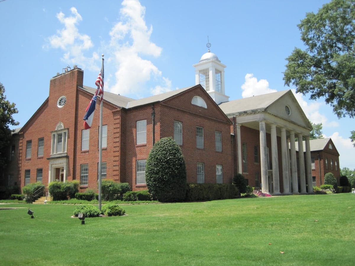
Photo: Wikipedia
Strategic Assessment of Desoto County
Meaningful friction. Expect exposure to either population pressure, blast zones, or natural disaster risk. Consider buying a retreat property.
What does the Strategic Assessment tell us?
Our Strategic Assessment grades tactical survivability of an area. Major population centers, military targets, fallout zones, natural disasters, and border exposure all drive risk — lower exposure means a more defensible position in a crisis.
This is heavily inspired by Joel Skousen's Strategic Relocation book. Highly recommended you checkout the book ($)What does this tell us?
Our Strategic Assessment grades tactical survivability of an area. Major population centers, military targets, fallout zones, natural disasters, and border exposure all drive risk — lower exposure means a more defensible position in a crisis.
This is heavily inspired by Joel Skousen's Strategic Relocation book. Highly recommended you checkout the book ($)Strategic Pillars

Key Distances
Strategic Assessment Analysis
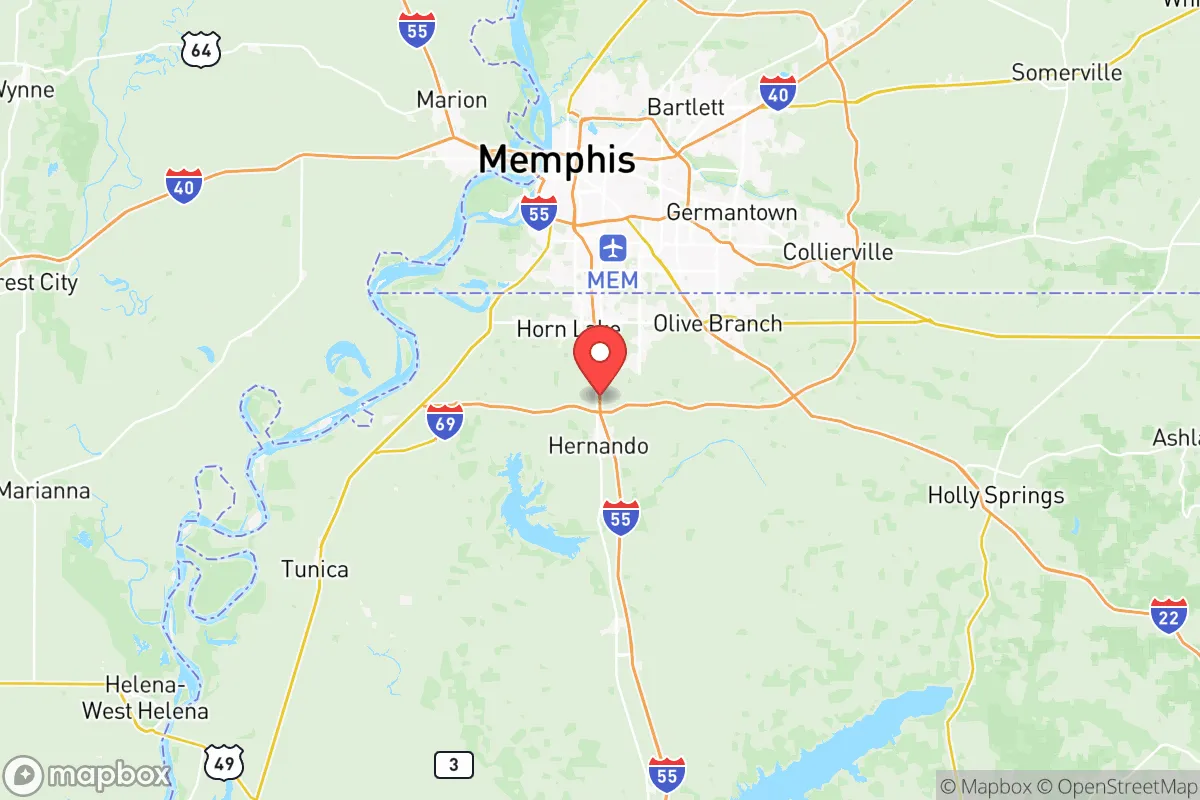
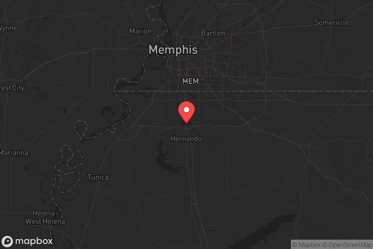
Desoto County, Mississippi, sits in a strategic sweet spot that few relocators fully appreciate until they map out the risks. It offers the economic and logistical benefits of being adjacent to Memphis, Tennessee, while maintaining a separate political and physical identity that provides a buffer against the worst-case scenarios unfolding in a major urban center. For a conservative-leaning individual or family thinking about long-term stability, this county’s location along the I-55 and I-69 corridors gives it a resilience advantage that’s hard to beat in the Mid-South—provided you understand where the real vulnerabilities lie.
Geographic position and natural advantages for long-term stability
Desoto County sits in the northwest corner of Mississippi, just south of the Tennessee state line, with the Mississippi River forming its western boundary. This river access is a double-edged sword—it provides a natural defensive barrier to the west and a reliable water source, but it also puts the county in the floodplain of one of America’s most powerful rivers. The county seat, Hernando, and the largest city, Southaven, are situated on higher ground east of the river, which mitigates some flood risk. The area’s rolling hills and clay soils are better for drainage than the flat delta lands further south, making it more suitable for long-term habitation without constant water damage. The proximity to the Memphis Sand Aquifer—one of the largest and cleanest groundwater sources in the country—means that even if surface water becomes compromised, wells can tap into a deep, reliable supply. For a prepper, that’s a non-negotiable asset. The county also sits at the crossroads of two major interstates, which is great for supply chain access in normal times, but in a crisis, those same highways become evacuation routes or chokepoints depending on the direction of the threat.
Risks, exposures, and proximity to fallout-relevant landmarks
The biggest strategic liability for Desoto County is its proximity to Memphis, Tennessee, a major urban center with a population of over 600,000 in the city proper and nearly 1.3 million in the metro area. Memphis is home to the FedEx SuperHub, a global logistics nerve center that would be a prime target for any adversary looking to disrupt American supply chains. It also hosts a major medical complex, including St. Jude Children’s Research Hospital, and the Memphis International Airport, which handles significant cargo and passenger traffic. In a mass casualty event or civil unrest scenario, Desoto County would likely see a surge of refugees from Memphis crossing the state line, overwhelming local resources. The county is also within 150 miles of the Arkansas Nuclear One power plant in Russellville, Arkansas, and the Browns Ferry Nuclear Plant in Alabama, both of which are potential fallout sources in a worst-case event. Closer to home, the Valero Memphis Refinery in nearby Tennessee and the numerous chemical plants along the Mississippi River corridor present industrial accident risks. The county itself has no major military bases, but the Memphis Defense Depot and the Naval Support Activity Mid-South in Millington, Tennessee, are within 30 miles, meaning any attack on those facilities would have direct consequences for Desoto County residents. The I-55 bridge over the Mississippi River is a critical chokepoint—if it goes down, movement west becomes nearly impossible, and the county becomes a dead-end for anyone trying to flee further south.
Practical resilience for a relocator: food, water, energy, and defensibility
For a relocator looking to hunker down, Desoto County offers a mixed bag. On the positive side, the county has a strong agricultural base—corn, soybeans, cotton, and livestock operations are common in the rural eastern and southern parts, particularly around the towns of Olive Branch and Walls. This means local food production is viable, and farmers’ markets and co-ops are already established. The Memphis Sand Aquifer provides excellent well water, and many rural properties already have private wells, which is a huge advantage over suburban areas reliant on municipal systems. Electricity comes from the Tennessee Valley Authority (TVA), which has a relatively robust grid, but it’s still vulnerable to cyberattacks or physical sabotage. Solar panels and battery backup are becoming more common among prepper-minded residents, and the county’s building codes are lenient enough to allow for off-grid setups without excessive permitting. Defensibility is a challenge because the county is mostly flat and open, with few natural chokepoints. The Mississippi River to the west is a barrier, but the eastern side is wide open to Tennessee. The best defensive positions are in the more wooded, hilly areas around Hernando and the southern parts of the county near the Tate County line. Property crime is a concern in the more populated areas like Southaven and Olive Branch, but rural properties with good visibility and a perimeter fence can be secured effectively. The county has a strong gun culture and a sheriff’s department that is generally supportive of Second Amendment rights, which matters for those who see armed self-defense as a core part of their resilience plan.
The overall strategic picture for Desoto County is one of calculated risk. It offers excellent water resources, decent agricultural potential, and a location that provides economic access to Memphis while maintaining a separate political jurisdiction in a state with more conservative governance. The downsides are real: proximity to a major urban center that could collapse inward during a crisis, industrial and nuclear risks within a 150-mile radius, and a geography that is hard to defend without significant preparation. For a relocator who is willing to invest in off-grid infrastructure, build a local network, and stay situationally aware, Desoto County can be a viable long-term base. But it is not a remote survivalist retreat—it is a suburban-rural hybrid that requires active management of its vulnerabilities. If you are looking for a place that balances access to resources with a reasonable buffer from the worst of the chaos, this county deserves a serious look, but only if you are prepared to treat it as a strategic asset rather than a passive sanctuary.
* Values derived from national, state, county, city and local statistics and may differ in a specific area. Last updated: 2026-05-12T13:27:23.000Z
Narrative content on this page is AI-generated and may contain mistakes. Verify any details that matter before acting on them.
ReloMaps may earn a commission from affiliate links at no extra cost to you.