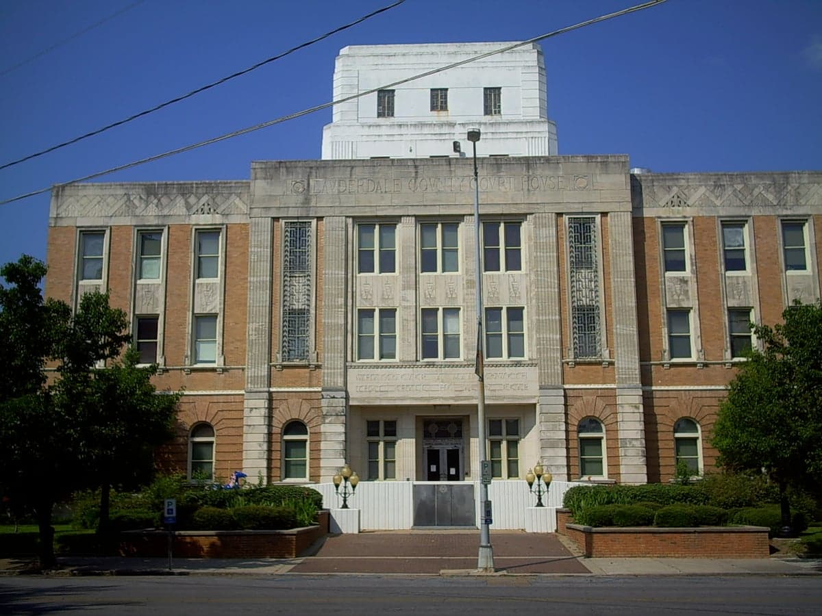
Photo: Wikipedia
Strategic Assessment of Lauderdale County
Workable tactical position. Some exposure to population density or targets, but generally defensible in a crisis.
What does the Strategic Assessment tell us?
Our Strategic Assessment grades tactical survivability of an area. Major population centers, military targets, fallout zones, natural disasters, and border exposure all drive risk — lower exposure means a more defensible position in a crisis.
This is heavily inspired by Joel Skousen's Strategic Relocation book. Highly recommended you checkout the book ($)What does this tell us?
Our Strategic Assessment grades tactical survivability of an area. Major population centers, military targets, fallout zones, natural disasters, and border exposure all drive risk — lower exposure means a more defensible position in a crisis.
This is heavily inspired by Joel Skousen's Strategic Relocation book. Highly recommended you checkout the book ($)Strategic Pillars

Key Distances
Strategic Assessment Analysis
Lauderdale County, Mississippi, offers a compelling strategic position for relocators prioritizing resilience and self-sufficiency, anchored by the city of Meridian and its surrounding rural expanse. The county sits at the intersection of two major interstate highways—I-20 and I-59—providing efficient evacuation routes and supply chain access without placing residents inside a major metropolitan target zone. This balance of connectivity and relative isolation makes the area a practical choice for those serious about disaster readiness, with Meridian serving as a regional hub for healthcare, logistics, and emergency services while the outlying communities like Collinsville, Marion, and Toomsuba offer the space and quiet needed for a more self-reliant lifestyle.
Geographic position and natural advantages for long-term stability
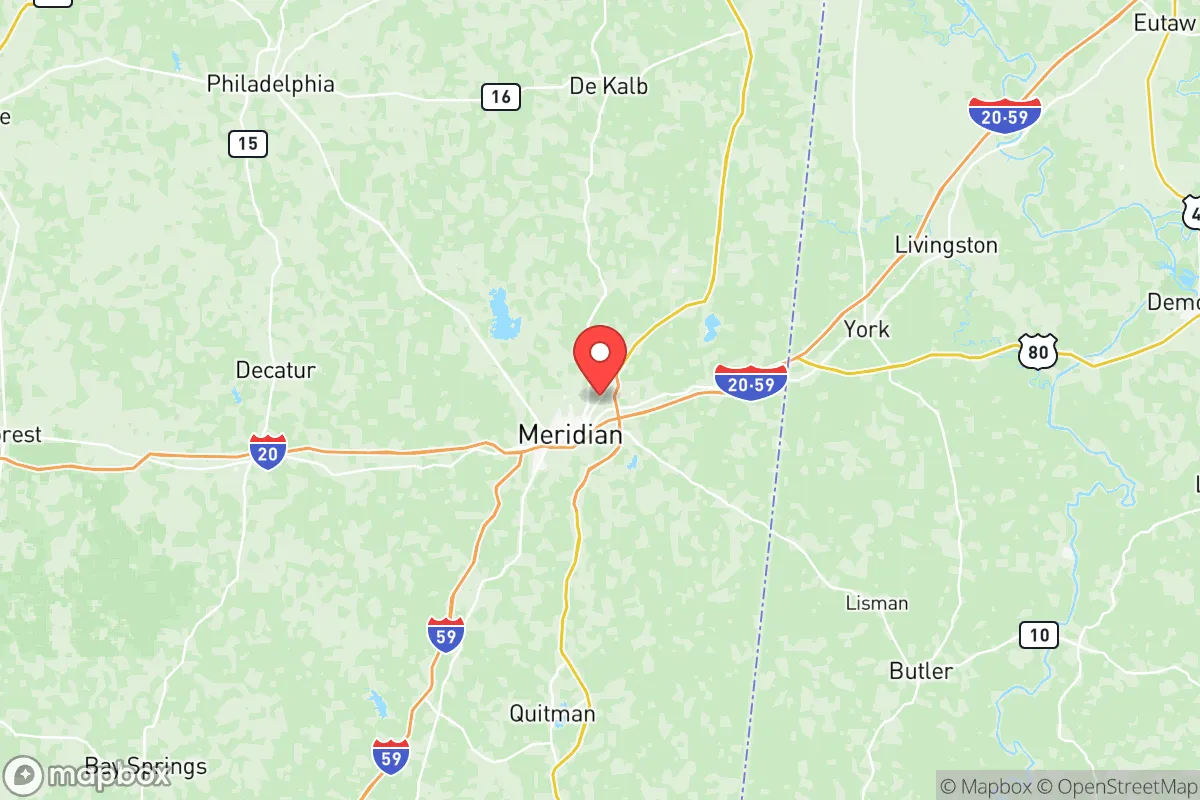
Lauderdale County sits in east-central Mississippi, roughly 90 miles east of Jackson and 150 miles west of Birmingham, Alabama, placing it well outside the immediate blast and fallout zones of any major city. The terrain is a mix of rolling hills, pine forests, and river valleys, with the Chunky River and Okatibbee Creek providing surface water sources that are less likely to be contaminated by industrial runoff compared to areas near the Gulf Coast or the Mississippi River industrial corridor. The county's elevation averages around 300 to 500 feet above sea level, which significantly reduces flood risk compared to the Delta region, and the underlying geology—primarily clay and sand over a limestone base—supports well-drilling and septic systems without the complications found in coastal floodplains. The local climate supports a growing season of roughly 220 days, making small-scale agriculture and gardening viable for families looking to supplement food supplies. Meridian's position as a regional medical center, with Rush Foundation Hospital and Anderson Regional Health System, ensures that trauma care and emergency services are accessible within 20-30 minutes for most county residents, a critical factor for anyone assessing long-term stability in a disaster scenario.
Risk exposure and proximity to fallout-relevant landmarks
While Lauderdale County avoids the highest-risk zones, it is not without exposure. The most significant man-made risk comes from the Naval Air Station Meridian, located about 10 miles northeast of the city center near the town of Marion. This active military base trains naval aviators and houses the Navy's T-45 Goshawk fleet, making it a potential target in a conflict scenario. However, the base is not a nuclear weapons storage facility or a strategic bomber hub, which lowers its priority as a first-strike target compared to installations like Keesler Air Force Base on the Gulf Coast or Redstone Arsenal in Alabama. The county also lies roughly 60 miles north of the Kemper County coal-fired power plant and the adjacent lignite mine, a major industrial facility that could be a secondary target or a source of hazardous material release in a crisis. On the natural disaster front, the area faces tornado risk typical of the Deep South—Lauderdale County is in the Dixie Alley corridor, where tornadoes can occur year-round, often at night and with less warning than in the Plains. The 2014 Easter Sunday tornado outbreak that struck Meridian and surrounding areas is a reminder that severe weather is the most probable acute threat, not nuclear war. Flooding is localized and generally manageable, with the worst impacts confined to low-lying areas near the Chunky River and Okatibbee Reservoir. The county's distance from the Gulf Coast—roughly 150 miles—means hurricane storm surge is not a concern, though residual wind and rain from tropical systems can cause power outages and tree damage.
Practical resilience for a relocator: food, water, energy, and defensibility
For a relocator focused on self-sufficiency, Lauderdale County offers a mix of advantages and limitations. Water availability is strong: the county sits atop the Citronelle Aquifer, a shallow, high-yield groundwater source that supplies most rural wells with potable water at depths of 100 to 300 feet. Surface water from Okatibbee Reservoir and the Chunky River provides backup options, though treatment would be necessary for long-term consumption. The county's agricultural capacity is moderate—row crops like soybeans, corn, and cotton are grown in the eastern part of the county near Toomsuba, but the sandy, acidic soils require amendment for intensive vegetable production. Livestock, particularly cattle and poultry, are common on small farms, and local feed stores and farm supply outlets in Meridian and Collinsville make it feasible to maintain a small homestead. Energy resilience is a mixed picture: Meridian is served by Mississippi Power, a subsidiary of Southern Company, which relies on a mix of natural gas, coal, and nuclear power from the Grand Gulf Nuclear Station in Port Gibson, about 120 miles west. Grid reliability is average for the region, with outages common during severe storms but typically restored within 24-48 hours. Solar potential is good, with the area receiving about 5.0 peak sun hours per day, and local installers are available for off-grid setups. Defensibility is one of the county's strongest attributes: the rural character of most of the county means properties are separated by wooded lots, fields, or creek bottoms, providing natural buffers and multiple avenues for retreat. The county's gun culture is robust, with a high rate of firearm ownership and a county sheriff's office that is supportive of Second Amendment rights, which matters for anyone considering personal and family security in a prolonged grid-down scenario. The local economy is diversified enough—with manufacturing, healthcare, and logistics anchored by companies like Peavey Electronics, Airbus Helicopters, and the Meridian Regional Airport—that a relocator could find part-time or remote work without being dependent on a single industry.
The overall strategic picture for Lauderdale County is one of moderate resilience with specific, manageable trade-offs. It avoids the catastrophic risk profiles of coastal cities, nuclear target zones, and major industrial corridors while still offering access to healthcare, transportation, and supply chains that make daily life practical. The county's greatest weakness is its tornado exposure and the presence of NAS Meridian as a potential military target, but these risks are lower than those faced by relocators considering areas near Houston's refinery corridor, Fort Hood, or the Mississippi River chemical belt. For a single individual or family willing to invest in a well, solar panels, and a storm shelter, Lauderdale County provides a defensible, resource-rich environment that balances isolation with accessibility. The key is to choose a property outside the immediate blast radius of the naval air station—ideally in the southern or western parts of the county near Collinsville or Marion—and to maintain a stockpile of supplies that accounts for the region's severe weather patterns rather than purely geopolitical threats. It is not a bug-out paradise, but it is a solid, livable base for someone who wants to be prepared without living in constant fear.

* Values derived from national, state, county, city and local statistics and may differ in a specific area. Last updated: 2026-07-29T22:32:40.000Z
Narrative content on this page is AI-generated and may contain mistakes. Verify any details that matter before acting on them.
ReloMaps may earn a commission from affiliate links at no extra cost to you.

