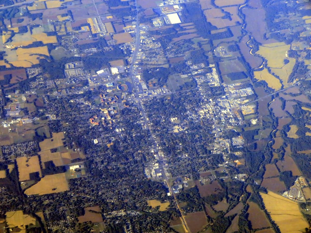
Photo: Wikipedia
Strategic Assessment of Murray, KY
Workable tactical position. Some exposure to population density or targets, but generally defensible in a crisis.
What does the Strategic Assessment tell us?
Our Strategic Assessment grades tactical survivability of an area. Major population centers, military targets, fallout zones, natural disasters, and border exposure all drive risk — lower exposure means a more defensible position in a crisis.
This is heavily inspired by Joel Skousen's Strategic Relocation book. Highly recommended you checkout the book ($)What does this tell us?
Our Strategic Assessment grades tactical survivability of an area. Major population centers, military targets, fallout zones, natural disasters, and border exposure all drive risk — lower exposure means a more defensible position in a crisis.
This is heavily inspired by Joel Skousen's Strategic Relocation book. Highly recommended you checkout the book ($)Strategic Pillars

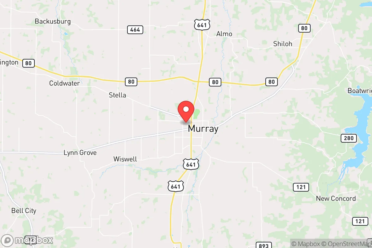
Key Distances
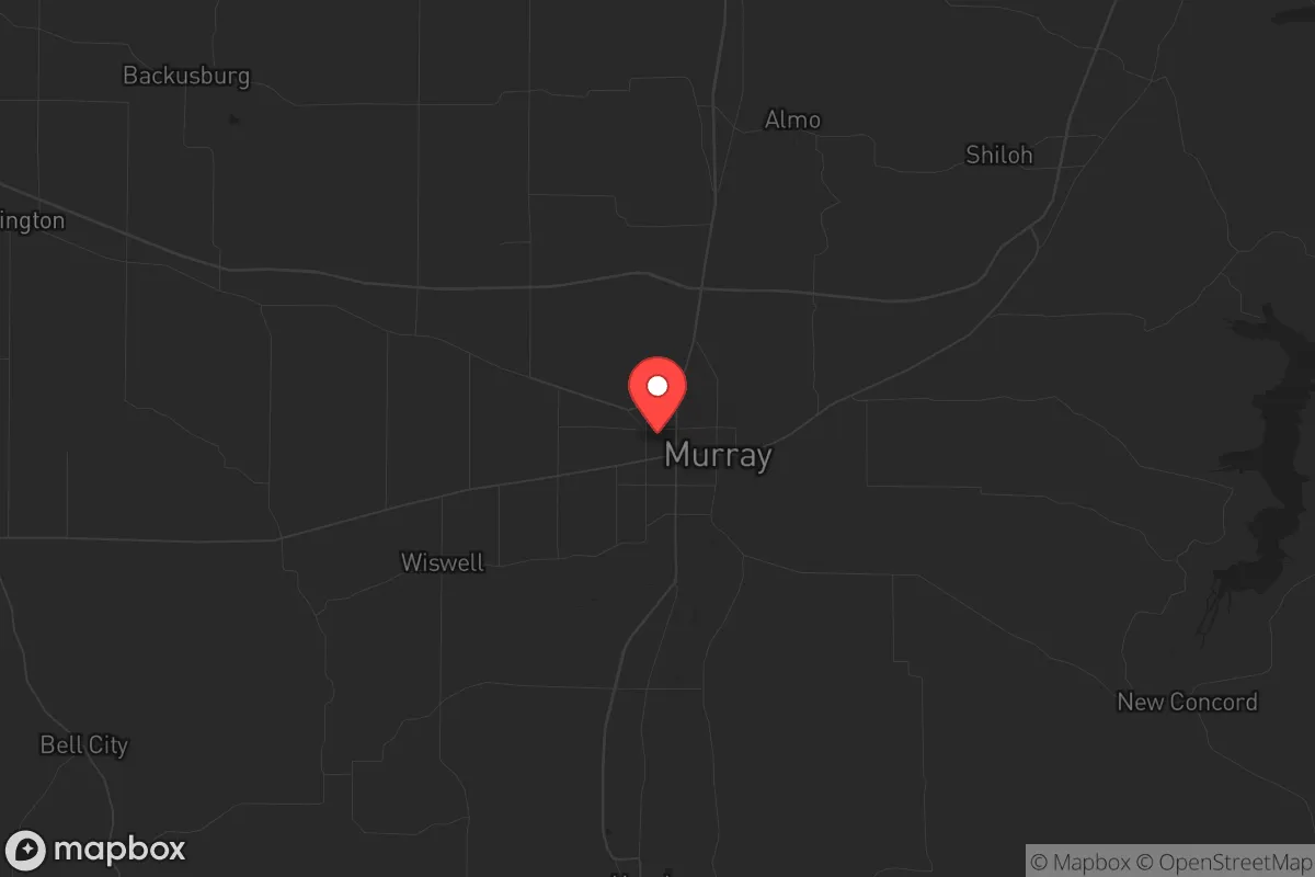
Regional Safe Places
Below is our recommended "safe zones" in Kentucky and the surrounding area based on our strategic heuristics. For most people, it's unrealistic to live in a “safe zone” full-time due to work, family or other personal reasons. They tend to be more rural. However, many of these areas are perfect for second homes and retreat properties that double as a vacation home or even a short-term rental.


Important Note: For informational purposes only. This does not mean nothing bad ever happens in the green zones. Please use common sense. This is based on public data and modeled with AI. We tried to take a conservative approach but mistakes happen. We update this regularly as new information becomes available.
Solar Generator Recommendations
Backup power matters more here than in safer locations. We've picked three solar generators across budgets and capacity tiers — start with the budget unit if you only need a few essentials, or step up if you want to run a fridge and HVAC for days at a time.

Jackery Portable Power Station Explorer 300
Budget OptionPower on the Go: Weighing only 11 lbs, it's convenient to set up and store with book-sized foldable solar panels

BLUETTI Portable Power Station AC180
Designed for both indoor and outdoor scenarios, AC180 is highly capable as it has a robost capacity and continuous output power.

EF ECOFLOW DELTA Pro Ultra Power Station
Upgraded PickEcoFlow DELTA Pro Ultra is a whole-home energy system designed to grow with your family. Integrated with the Smart Home Panel 2, it scales to meet your evolving energy needs — keeping your home powered, intelligent, and secure through every stage of life.
We earn a commission, at no additional cost to you.
Strategic Assessment Analysis
Murray, Kentucky, offers a compelling strategic position for those prioritizing resilience and long-term sustainability, sitting roughly 50 miles from both the Tennessee River and the Land Between the Lakes National Recreation Area, a 170,000-acre buffer zone that provides natural resources and defensible terrain. The city’s location in the Jackson Purchase region places it away from major interstate corridors like I-24 and I-65, reducing the risk of mass evacuation traffic or refugee flows during a crisis, while still maintaining access to regional logistics via US 641 and KY 121. For a conservative-leaning relocator concerned with civic unrest or cascading failures, Murray’s low population density—around 18,000 residents in the city proper and 37,000 in Calloway County—combined with its agricultural and educational infrastructure, makes it a viable fallback position without the isolation of deep rural areas. The presence of Murray State University adds a layer of institutional stability, but the town’s character remains rooted in self-reliance, with a strong local farming community and a county government that leans heavily Republican, reflecting a cultural alignment with preparedness values.
Geographic position and natural advantages for long-term sustainability
Murray’s geographic isolation is its primary strategic asset, sitting roughly 30 miles from the Kentucky-Tennessee border and equidistant from the medium-sized cities of Paducah (40 miles north) and Clarksville, Tennessee (60 miles southeast), both of which are large enough to be potential crisis magnets but far enough to avoid immediate fallout. The area’s proximity to the Land Between the Lakes—a federally managed recreation area with dense forests, lakes, and limited road access—offers a natural retreat zone with abundant game, fish, and timber, though it’s not private land and could attract others during a collapse. The region’s karst topography, with numerous caves and springs, provides potential for water sourcing and shelter, though it also means limited groundwater depth in some areas, requiring careful well placement. The Tennessee and Cumberland Rivers, both within a 45-minute drive, offer alternative transportation routes and water access, but the lack of major navigable waterways directly through Murray reduces the risk of river-based refugee influx. The local climate is temperate, with four distinct seasons and an average 50 inches of rainfall annually, supporting year-round gardening and livestock grazing without the extreme drought risks of the West or the hurricane exposure of the Gulf Coast.
Risks, exposures, and proximity to fallout-relevant landmarks
The most significant risk for Murray is its proximity to the Paducah Gaseous Diffusion Plant, a decommissioned uranium enrichment facility located 40 miles north, which, while no longer operational, still contains hazardous materials and could be a target for sabotage or a source of contamination during a major disaster. Additionally, the Tennessee Valley Authority’s Kentucky Dam and the associated Barkley Dam, both about 50 miles away, are critical infrastructure points that, if compromised, could cause downstream flooding or power grid disruptions, though their concrete construction makes them hardened targets. The city sits within 100 miles of the New Madrid Seismic Zone, a known earthquake risk that could produce catastrophic ground shaking and liquefaction in the Mississippi River floodplain, though Murray’s location on higher ground in the Western Kentucky Pennyrile region reduces direct flood risk. For those concerned with civil unrest, Murray’s distance from major metropolitan areas like Nashville (120 miles) and Memphis (180 miles) is a double-edged sword: it provides a buffer from urban riots or mass casualty events, but also means that during a national crisis, the city could become a staging ground for refugees fleeing those cities, especially along US 641. The presence of Murray State University, with its 9,000 students, introduces a transient population that could become a liability during a breakdown, as many students lack local ties or survival skills, potentially straining resources.
Practical resilience for a relocator: food, water, energy, and defensibility
For food security, Calloway County has over 1,200 farms, primarily producing corn, soybeans, and tobacco, with a strong network of local farmers’ markets and a cooperative extension service that offers workshops on canning, livestock management, and seed saving—resources that are invaluable for a prepper looking to establish self-sufficiency. Water availability is generally good, with the Murray City Water System drawing from groundwater wells and the nearby Kentucky Lake, but during a grid-down scenario, private wells are common in rural parts of the county, with depths averaging 100-200 feet and yields of 10-20 gallons per minute, though homeowners should budget for a hand pump or solar-powered backup. Energy resilience is mixed: Murray Electric System provides reliable grid power, but the area is prone to ice storms and tornadoes that can knock out lines for days, making a backup generator or solar array with battery storage a wise investment, especially given the region’s average 4.5 peak sun hours per day. Defensibility is moderate—the city’s layout is compact, with a traditional downtown grid and residential neighborhoods that offer natural chokepoints, but the surrounding farmland is open and lacks cover, meaning a rural homestead would require strategic fencing, sightlines, and a perimeter plan. The local gun culture is strong, with multiple shooting ranges and a high rate of firearm ownership, which aligns with a self-defense mindset, but also means that during a crisis, neighbors may be armed and potentially unpredictable, so building trust within the community is as important as physical security.
Overall, Murray presents a balanced strategic picture for the conservative relocator: it offers genuine natural advantages in water, food, and isolation, but carries moderate risks from nearby industrial infrastructure and seismic activity that require proactive mitigation. The city’s small size and agricultural base make it more resilient than suburban sprawl, but its reliance on a single university for economic stability and its position along a secondary highway mean that a relocator should invest in community integration—joining local churches, volunteer fire departments, or farming cooperatives—to build the social capital that will matter most during a breakdown. For those willing to put in the work on a rural homestead with a well, solar panels, and a garden, Murray provides a defensible, low-profile base of operations that is close enough to regional resources but far enough from the chaos of urban collapse. The bottom line: Murray isn’t a fortress, but it’s a solid B+ location for a prepared individual or family looking to ride out the coming storms, provided you’re ready to dig a well, stock a pantry, and get to know your neighbors before the lights go out.
* Values derived from national, state, county, city and local statistics and may differ in a specific area. Last updated: 2026-04-21T09:18:55.000Z
Narrative content on this page is AI-generated and may contain mistakes. Verify any details that matter before acting on them.
ReloMaps may earn a commission from affiliate links at no extra cost to you.