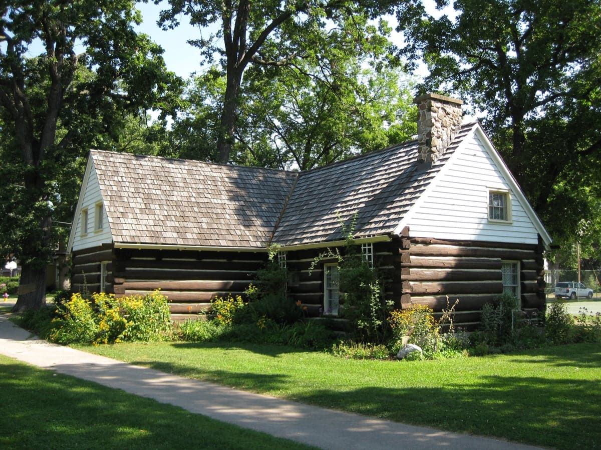
Photo: Wikipedia
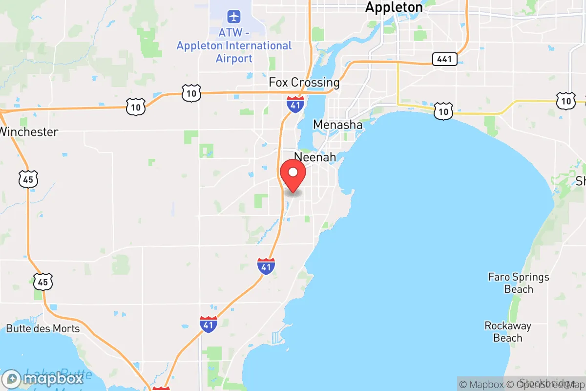
Strategic Assessment of Neenah, WI
Meaningful friction. Expect exposure to either population pressure, blast zones, or natural disaster risk. Consider buying a retreat property.
What does the Strategic Assessment tell us?
Our Strategic Assessment grades tactical survivability of an area. Major population centers, military targets, fallout zones, natural disasters, and border exposure all drive risk — lower exposure means a more defensible position in a crisis.
This is heavily inspired by Joel Skousen's Strategic Relocation book. Highly recommended you checkout the book ($)What does this tell us?
Our Strategic Assessment grades tactical survivability of an area. Major population centers, military targets, fallout zones, natural disasters, and border exposure all drive risk — lower exposure means a more defensible position in a crisis.
This is heavily inspired by Joel Skousen's Strategic Relocation book. Highly recommended you checkout the book ($)Strategic Pillars

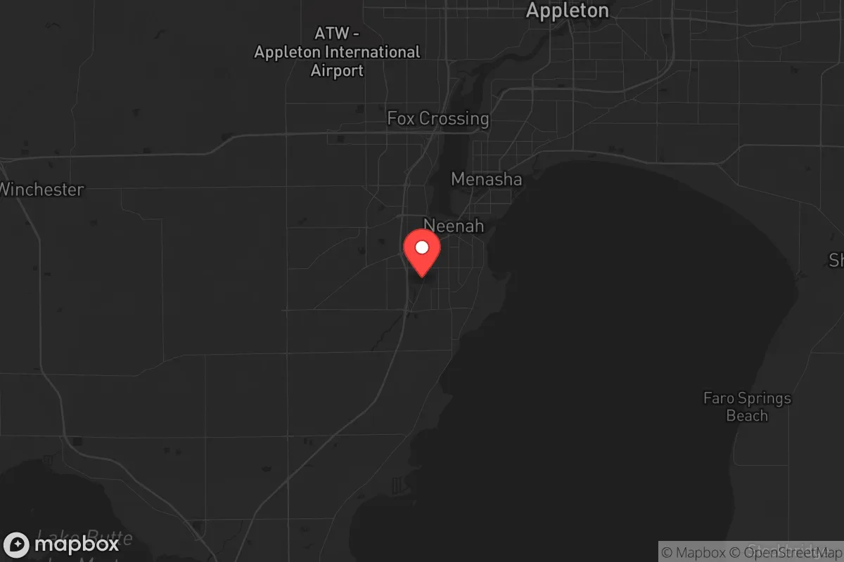
Key Distances
Regional Safe Places
Below is our recommended "safe zones" in Wisconsin and the surrounding area based on our strategic heuristics. For most people, it's unrealistic to live in a “safe zone” full-time due to work, family or other personal reasons. They tend to be more rural. However, many of these areas are perfect for second homes and retreat properties that double as a vacation home or even a short-term rental.
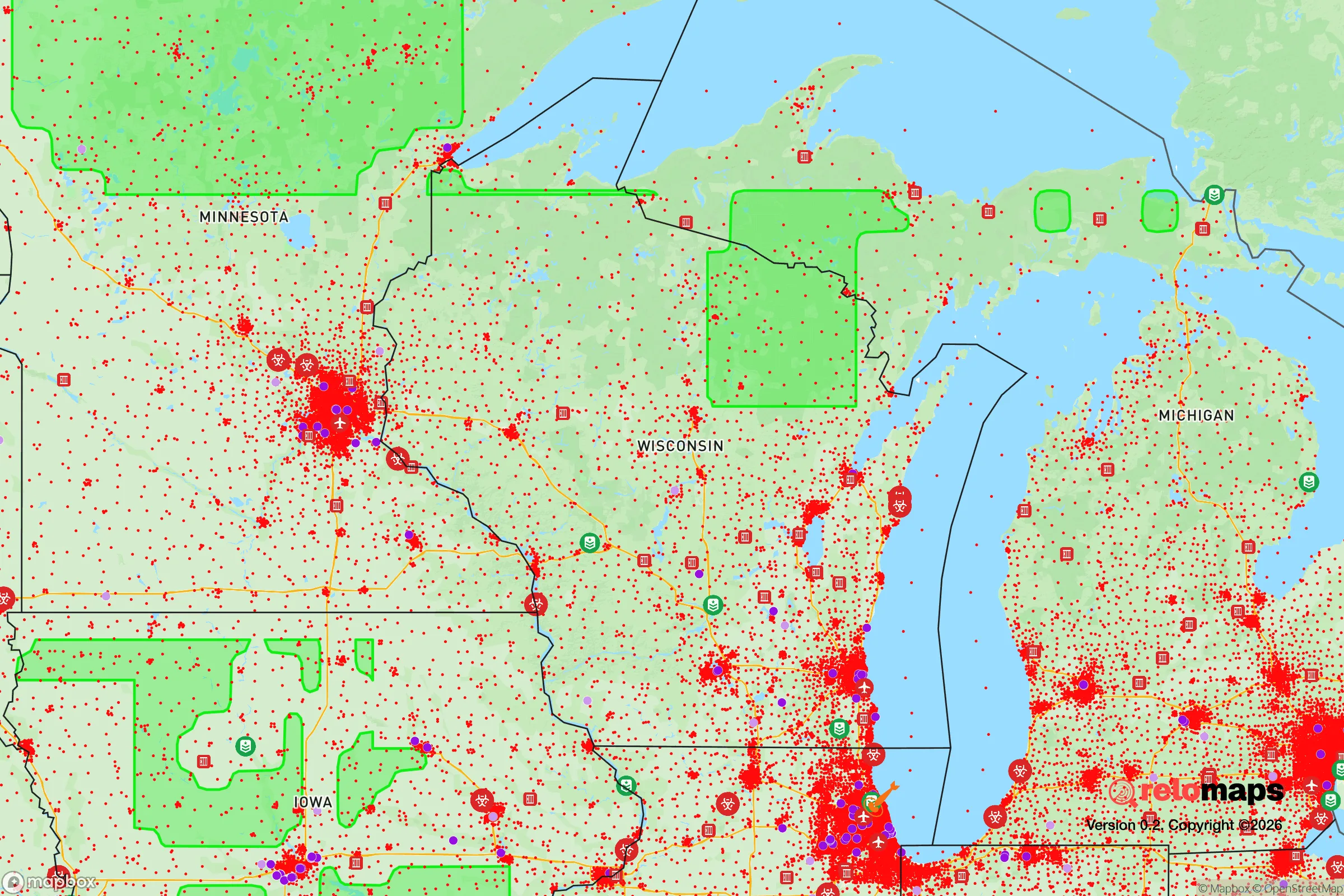
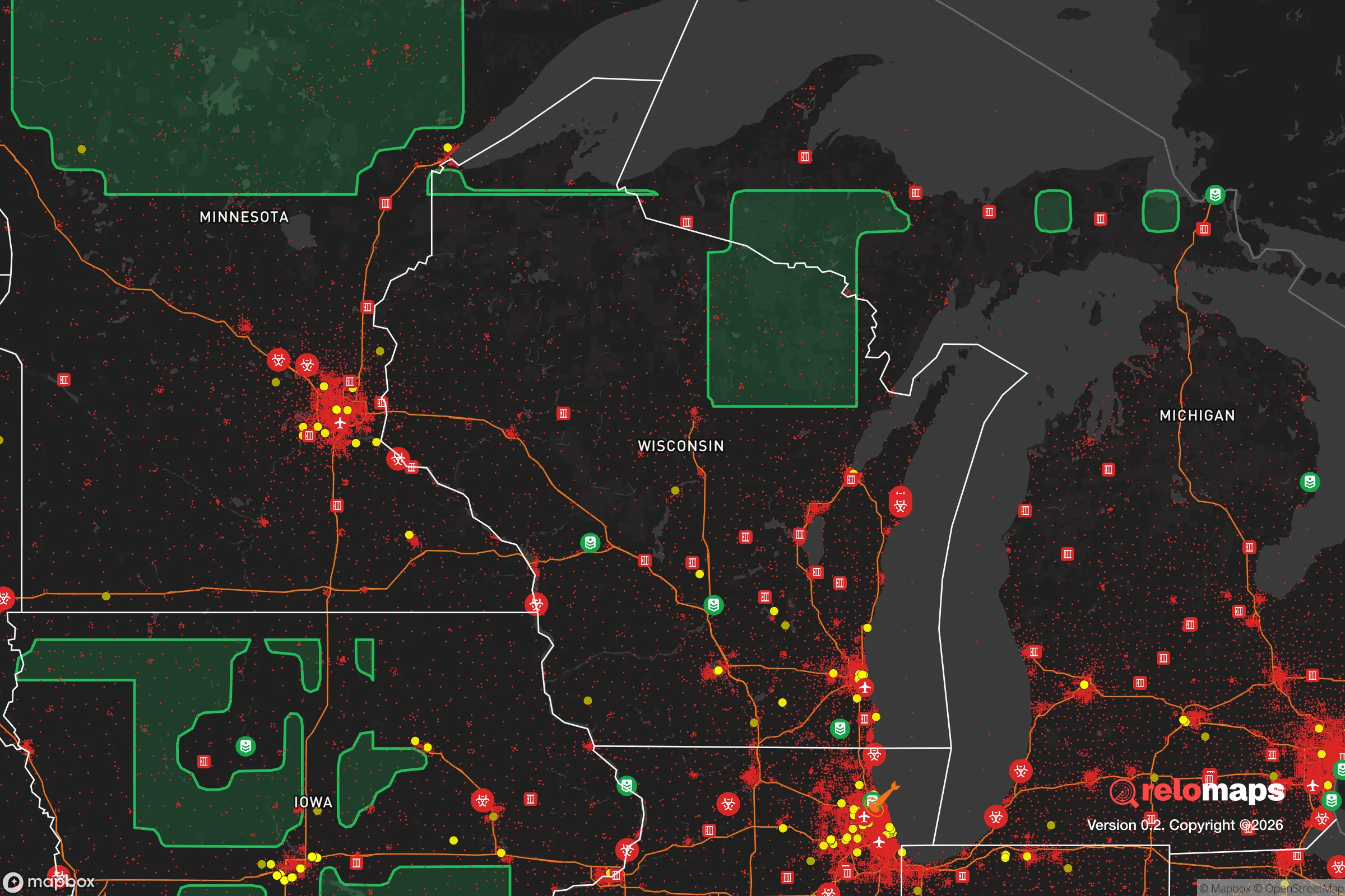
Important Note: For informational purposes only. This does not mean nothing bad ever happens in the green zones. Please use common sense. This is based on public data and modeled with AI. We tried to take a conservative approach but mistakes happen. We update this regularly as new information becomes available.
Solar Generator Recommendations
Backup power matters more here than in safer locations. We've picked three solar generators across budgets and capacity tiers — start with the budget unit if you only need a few essentials, or step up if you want to run a fridge and HVAC for days at a time.

Jackery Portable Power Station Explorer 300
Budget OptionPower on the Go: Weighing only 11 lbs, it's convenient to set up and store with book-sized foldable solar panels

BLUETTI Portable Power Station AC180
Designed for both indoor and outdoor scenarios, AC180 is highly capable as it has a robost capacity and continuous output power.

EF ECOFLOW DELTA Pro Ultra Power Station
Upgraded PickEcoFlow DELTA Pro Ultra is a whole-home energy system designed to grow with your family. Integrated with the Smart Home Panel 2, it scales to meet your evolving energy needs — keeping your home powered, intelligent, and secure through every stage of life.
We earn a commission, at no additional cost to you.
Strategic Assessment Analysis
Neenah, Wisconsin, sits in a sweet spot that few preppers fully appreciate: it offers the industrial and logistical backbone of the Fox Valley without the direct exposure of a major metro, and its position on the Fox River and Lake Winnebago gives it a natural resilience that most inland towns lack. The city’s economy is anchored by legacy manufacturers like Kimberly-Clark and Plexus, which means local supply chains for paper, packaging, and electronics are robust even in disrupted conditions. For a relocator thinking about long-term stability, Neenah’s combination of water access, diversified industry, and moderate population density (roughly 27,000) makes it a defensible base—provided you understand the risks that come with being 30 miles from Green Bay and 90 miles from Milwaukee.
Geographic position and natural advantages for long-term survival
Neenah’s geography is its strongest card. The city sits at the mouth of the Fox River where it flows out of Lake Winnebago, giving residents direct access to one of the largest inland lakes in the country—roughly 138,000 acres of freshwater that doesn’t depend on municipal treatment plants. In a grid-down scenario, that water is a lifeline, and the river itself provides a natural travel corridor that’s harder to block than a highway. The surrounding terrain is flat to gently rolling, with plenty of agricultural land within a 10-mile radius; Outagamie and Winnebago counties are among the top dairy and corn producers in the state. That means local food production isn’t a hypothetical—it’s already happening at scale. The area also sits outside the major tornado alleys of the Plains, though severe thunderstorms and occasional derecho events do occur. Winter is harsh (average January highs around 24°F), but that cold itself is a defensive asset: it limits the mobility of unprepared populations and slows the spread of disease in a collapse scenario. The Fox Valley’s position between Lake Michigan and the Mississippi watershed also means you’re not dependent on a single transportation route for resupply or evacuation.
Risks, exposures, and proximity to fallout-relevant landmarks
The biggest vulnerability for Neenah is its proximity to critical infrastructure that could become a target or a liability. The city is roughly 30 miles from Green Bay’s Austin Straubel International Airport, which handles military cargo and could be a staging area in a national emergency. More concerning is the presence of the Point Beach Nuclear Plant, located about 50 miles north near Two Rivers. While that’s outside the 10-mile emergency planning zone, prevailing winds from the west-northwest mean a release could push contamination toward the Fox Valley depending on the season. Closer to home, the Fox River itself is lined with paper mills and chemical storage facilities—Kimberly-Clark’s Neenah operations alone handle large volumes of chlorine and other industrial chemicals. A major industrial accident or sabotage event could contaminate the river for miles downstream. On the human threat side, Neenah’s location on Highway 41, a major north-south corridor connecting Milwaukee to the Upper Peninsula, means it’s a natural chokepoint for evacuation traffic and could see significant refugee flow from Milwaukee (90 miles south) or Chicago (180 miles south) during a crisis. The city’s police force is small (roughly 40 sworn officers), and mutual aid from surrounding towns would be stretched thin in a regional emergency. For a prepper, the key is to recognize that Neenah is not a remote hideout—it’s a semi-urban hub that will attract attention during a breakdown.
Practical resilience for a relocator: food, water, energy, and defensibility
For someone serious about self-sufficiency, Neenah offers a mix of advantages and trade-offs. Water is the easiest win: Lake Winnebago and the Fox River provide year-round surface water, but you’ll need a reliable filtration system (the river carries agricultural runoff and industrial residue). Well water is available in the surrounding townships, but within city limits you’re on municipal supply, which is vulnerable to pump failure or contamination. Food resilience is strong—local farmers’ markets operate from May through October, and the surrounding counties have dozens of u-pick orchards and vegetable farms. For long-term storage, the area’s cold winters allow for natural refrigeration for several months of the year. Energy is where Neenah gets interesting: the city has its own municipal electric utility (Neenah Utilities), which means local control over grid maintenance and restoration. In a regional blackout, municipal utilities often get priority from state and federal agencies. Solar is viable but winter production drops significantly; a hybrid system with a propane or diesel backup generator is the realistic play. Defensibility is moderate. Neenah’s layout is a mix of older neighborhoods with narrow streets (good for creating chokepoints) and newer subdivisions with cul-de-sacs (easier to secure). The river and lake provide a natural barrier on the east side, but the city is flat and open to approach from the west and south. A rural property 10–15 minutes outside town—say, in the town of Neenah or along County Road II—would offer better standoff distance while keeping you close enough to access supplies and community networks. The local gun culture is strong but not extreme; Winnebago County issues concealed carry permits routinely, and there are several private shooting ranges within a 20-minute drive.
Overall, Neenah presents a solid strategic option for the conservative prepper who wants industrial resilience without the direct exposure of a major city. The water access, local food production, and municipal utility control are genuine assets that most inland towns can’t match. But the risks are real: proximity to a nuclear plant, a major highway corridor, and chemical-heavy industry means you can’t afford to be complacent. The smart play here is to treat Neenah as a base of operations—not a final redoubt. Secure a property with well water and solar backup on the rural fringe, build relationships with local farmers and tradesmen, and keep a bug-out route east toward the Kettle Moraine or north toward the Chequamegon-Nicolet National Forest. If you do that, Neenah gives you the tools to ride out most crises. If you don’t, the same assets that make it attractive will also make it a target.
* Values derived from national, state, county, city and local statistics and may differ in a specific area. Last updated: 2026-04-21T10:19:42.000Z
Narrative content on this page is AI-generated and may contain mistakes. Verify any details that matter before acting on them.
ReloMaps may earn a commission from affiliate links at no extra cost to you.