
Photo: Wikipedia
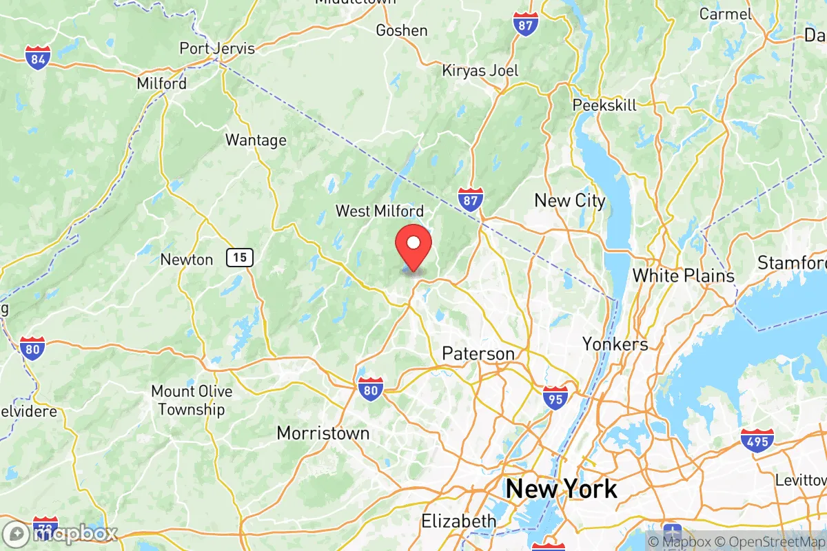
Strategic Assessment of Passaic County
Multiple tactical vulnerabilities. Population density, target proximity, or disaster risk are likely compounding. A retreat property and exit planning is required.
What does the Strategic Assessment tell us?
Our Strategic Assessment grades tactical survivability of an area. Major population centers, military targets, fallout zones, natural disasters, and border exposure all drive risk — lower exposure means a more defensible position in a crisis.
This is heavily inspired by Joel Skousen's Strategic Relocation book. Highly recommended you checkout the book ($)What does this tell us?
Our Strategic Assessment grades tactical survivability of an area. Major population centers, military targets, fallout zones, natural disasters, and border exposure all drive risk — lower exposure means a more defensible position in a crisis.
This is heavily inspired by Joel Skousen's Strategic Relocation book. Highly recommended you checkout the book ($)Strategic Pillars

Key Distances
Strategic Assessment Analysis
Passaic County, New Jersey, presents a complex strategic picture for the conservative-leaning relocator focused on resilience. While its location within the New York metropolitan area offers certain logistical advantages, the county’s dense population, proximity to major fallout-relevant targets, and limited natural buffers make it a high-risk zone for those prioritizing long-term survivability and self-sufficiency. The county’s resilience is fundamentally compromised by its integration into a region that would be a primary target in any major disruption, whether from civil unrest, economic collapse, or a mass casualty event.
Geographic position and natural advantages for a strategic relocation
Passaic County sits in northeastern New Jersey, roughly 15 miles from Manhattan, placing it within the immediate blast and fallout zone of a potential nuclear or high-yield conventional attack on New York City. The county’s geography is dominated by the Watchung Mountains and the Passaic River, which provide some natural terrain for defensible positions, but these are not remote or rugged enough to offer meaningful protection from fallout or large-scale civil unrest. The county’s northern reaches, including towns like West Milford and Ringwood, feature more wooded, hilly terrain near the New York state line, offering slightly better concealment and water access via the Wanaque Reservoir and Monksville Reservoir. However, these areas are still within a 30-minute drive of major population centers like Paterson and Clifton, meaning any evacuation or retreat would be quickly overwhelmed by urban refugees. The county’s natural advantages—ample surface water and some forest cover—are offset by its position as a suburban corridor between two major metropolitan areas (New York and Newark), making it a funnel for any regional crisis.
Risks, exposures, and proximity to fallout-relevant landmarks
The primary risk for Passaic County is its proximity to high-value targets that would be prioritized in a conflict or terrorist event. Newark Liberty International Airport and the Port of Newark–Elizabeth Marine Terminal, both less than 20 miles from the county’s southern border, are critical infrastructure nodes that would be primary targets. The county itself contains the Passaic Valley Sewerage Commissioners plant in Newark (just outside the county line) and several chemical storage facilities along the Passaic River, which could become secondary hazards if damaged. The Paterson Great Falls area, a historic industrial hub, is a potential target for symbolic attacks. Additionally, the county’s dense population—over 500,000 residents in just 197 square miles—means that any major event would trigger immediate gridlock on key evacuation routes like I-80, Route 23, and Route 46. The presence of William Paterson University in Wayne and Montclair State University in nearby Montclair adds to the concentration of people and potential civil unrest targets. For the prepper, the county’s proximity to Fort Dix and Joint Base McGuire-Dix-Lakehurst (about 50 miles south) is a double-edged sword: it offers potential military support in a crisis, but also makes the region a target for adversaries seeking to disrupt U.S. military logistics.
Practical resilience for a relocator: food, water, energy, and defensibility
For a relocator seeking practical self-sufficiency, Passaic County presents significant challenges. Water access is the strongest asset: the Wanaque Reservoir, Monksville Reservoir, and the Passaic River provide surface water, but these sources are vulnerable to contamination from upstream industrial sites and urban runoff. Boiling or filtering would be essential, and the county’s water treatment plants (like the Wanaque Water Treatment Plant) would be early targets or failure points. Food production is limited—the county has some farmland in the northern townships, but most land is suburban or developed. Community gardens exist in Paterson and Clifton, but they are insufficient for a population this size. Energy resilience is poor: the grid is heavily dependent on overhead lines and substations that are vulnerable to weather events (like Hurricane Sandy in 2012) and sabotage. Solar potential is moderate, but many homes are in tree-covered areas that reduce efficiency. Defensibility is the weakest point. The county’s suburban layout—with cul-de-sacs, strip malls, and interconnected roads—makes it easy for mobs or looters to move through. The Garret Mountain Reservation and High Mountain Park offer some high ground, but they are public spaces that would be quickly contested. For a single individual or family, a more defensible setup would require a property with a well, septic, and perimeter fencing in a less accessible area like Bloomingdale or Pompton Lakes, but even these towns are within 10 miles of major highways.
Overall, Passaic County is a poor strategic choice for the conservative prepper focused on long-term resilience. Its location within the New York City blast radius, dense population, and lack of natural buffers make it a high-risk zone for any major disruption. While the northern towns offer slightly better terrain and water access, the county’s integration into the Northeast Corridor means that any crisis—whether a terrorist attack, economic collapse, or civil unrest—would trigger a cascading failure of infrastructure and social order. For those committed to staying in the region, the best option is to secure a property in the far northern reaches near the New York border, with a focus on water independence, food storage, and a low profile. But for most relocators, the strategic calculus points toward more remote, less populated areas in the Appalachian region or the Midwest, where the risks are lower and the ability to live off-grid is far more viable.
* Values derived from national, state, county, city and local statistics and may differ in a specific area. Last updated: 2026-05-13T01:00:13.000Z
Narrative content on this page is AI-generated and may contain mistakes. Verify any details that matter before acting on them.
ReloMaps may earn a commission from affiliate links at no extra cost to you.