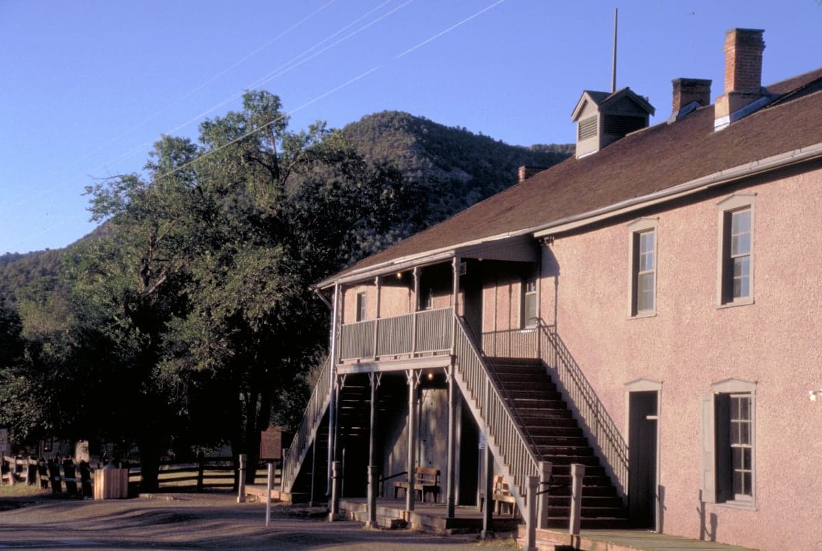
Photo: Wikipedia
Strategic Assessment of Lincoln County
Strong survivability profile. Good buffer from population centers, with manageable environmental and tactical risks.
What does the Strategic Assessment tell us?
Our Strategic Assessment grades tactical survivability of an area. Major population centers, military targets, fallout zones, natural disasters, and border exposure all drive risk — lower exposure means a more defensible position in a crisis.
This is heavily inspired by Joel Skousen's Strategic Relocation book. Highly recommended you checkout the book ($)What does this tell us?
Our Strategic Assessment grades tactical survivability of an area. Major population centers, military targets, fallout zones, natural disasters, and border exposure all drive risk — lower exposure means a more defensible position in a crisis.
This is heavily inspired by Joel Skousen's Strategic Relocation book. Highly recommended you checkout the book ($)Strategic Pillars

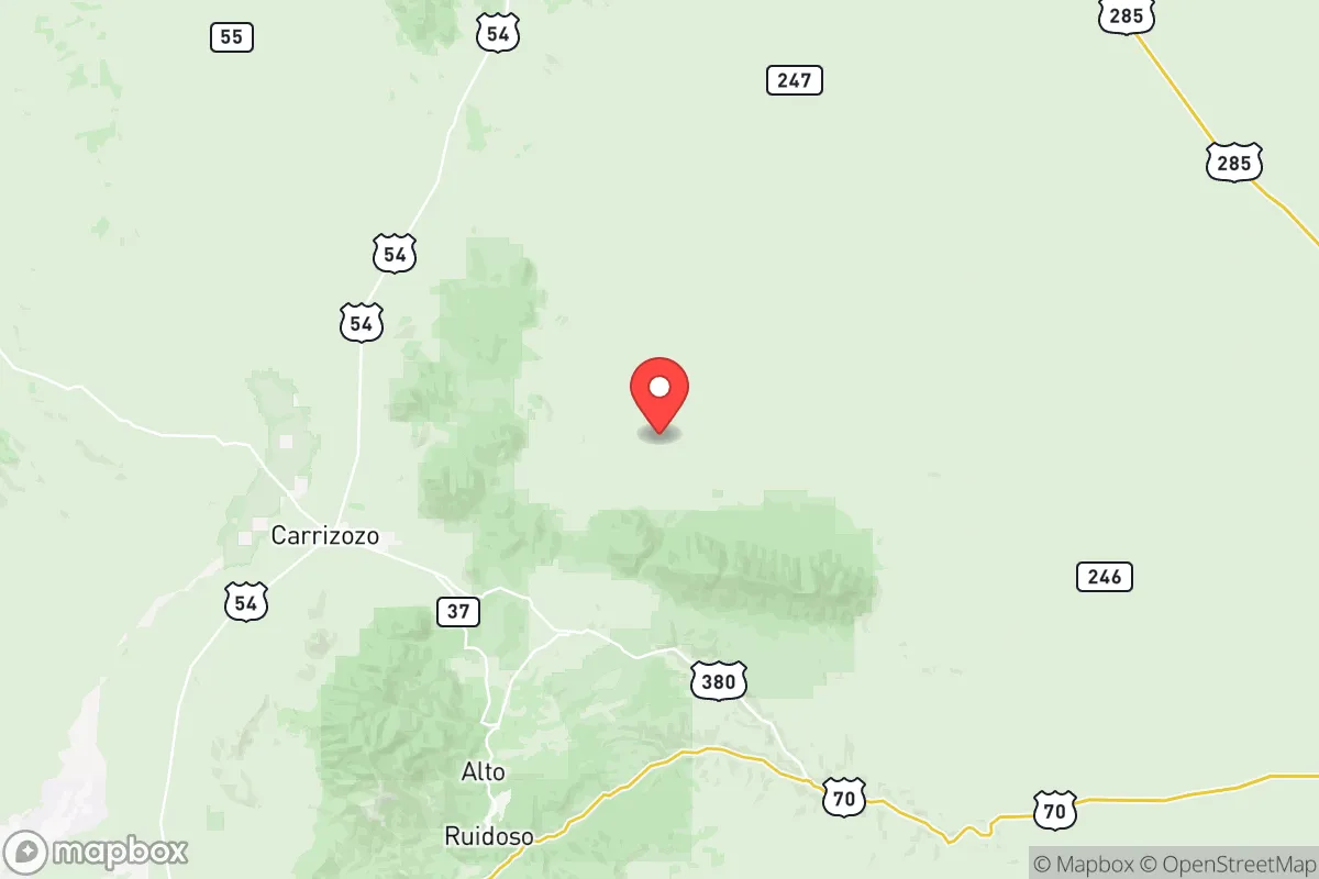
Key Distances
Strategic Assessment Analysis
Lincoln County, New Mexico offers a strategic relocation option for those prioritizing isolation, defensible terrain, and distance from the major population corridors that present clear risks in times of unrest or disaster. With Ruidoso as its primary population hub at roughly 6,900 feet in the Sierra Blanca mountains, the county provides a natural buffer from the vulnerabilities of flat, exposed terrain and the concentrated target zones found in most of the Southwest. This is not a place for convenience; it is a place for those willing to trade access for security, altitude for advantage, and community scale for survivability.
Geographic position and natural advantages in the mountain southwest
Lincoln County sits in south-central New Mexico, straddling the transition from high desert to alpine forest, with the Lincoln National Forest covering a significant portion of its eastern half. The county seat of Carrizozo lies on the western plains, but the strategic heartland is the Ruidoso-Capitan-Lincoln corridor, where the Sierra Blanca massif rises to over 12,000 feet. This elevation provides a natural observation advantage, cooler temperatures that reduce water evaporation, and terrain that channels access into a limited number of mountain passes and canyons—chokepoints any security-minded relocator will recognize as defensible. Unlike the exposed expanses of eastern New Mexico or the crowded I-25 corridor stretching from El Paso through Albuquerque, Lincoln County sits off the main transit axes. The nearest city of any significant size is Roswell, roughly 75 miles northeast, while El Paso is about 150 miles south and Albuquerque roughly 200 miles northwest. This separation from dense urban populations means that the cascading effects of a city-based crisis—riots, supply chain failures, disease spread, or infrastructure collapse—will arrive late if they arrive at all. The mountain terrain also provides natural cover and concealment, a factor that matters when considering both security and the ability to live without being easily observed from main roads or aerial surveillance.
Risk factors and proximity to regional military and industrial landmarks
No location in the continental United States is free of risk, and Lincoln County has specific exposures that must be weighed honestly. The most significant is the presence of White Sands Missile Range, located roughly 60 miles west, which is a major Department of Defense test facility with active missile launches, ordnance storage, and classified operations. While the prevailing winds generally carry from the west, the historical Trinity Site—where the first atomic bomb was detonated—lies within White Sands about 70 miles west of Carrizozo. This proximity means that in any major conflict scenario involving strategic strikes on U.S. military infrastructure, the region could face secondary effects from attacks on that facility. Holloman Air Force Base, near Alamogordo roughly 90 miles southwest, is another high-value target with its own risk profile. Closer to home, the major hazard is environmental rather than man-made: wildfire. The 2022 McBride Fire destroyed hundreds of homes in Ruidoso, and the surrounding forest is dense, dry, and increasingly volatile with changing climate patterns. Drought is chronic, and the county's water resources are finite. For the relocator considering long-term sustainability, these are not disqualifying factors, but they demand preparation—defensible space around structures, adequate water storage, and a clear evacuation plan for the forested areas. The absence of refineries, ports, major rail hubs, or large-scale industrial facilities within the county itself is a net positive; Lincoln County is not on any target list for economic warfare or infrastructure attack.
Practical resilience for daily life: water, food, energy, and defensibility
Water is the first and hardest question. The Ruidoso area draws from the Rio Ruidoso watershed and Bonito Lake, both of which are subject to drought cycles, sediment from wildfires, and periodic restrictions. Groundwater is available but variable depending on elevation and specific location; deeper wells in the Capitan and Lincoln areas tend to produce adequate quality but require investment and maintenance. A prudent relocator should plan for a minimum of two weeks' stored water per person as a baseline, with a long-term strategy involving rainwater catchment (the county averages about 15 inches of precipitation annually at lower elevations and more in the mountains) and a protected well. Food production is limited by the short growing season at elevation—typically mid-May to mid-September in Ruidoso, slightly longer in the lower valleys around Carrizozo—so greenhouse infrastructure or a network of trusted suppliers becomes essential. Livestock and hunting are viable; elk, mule deer, and wild turkey are present in the national forest, and the ranching tradition in the county means that local knowledge and networking opportunities exist for those who integrate into the community. Energy reliability is a genuine concern. The grid serving Lincoln County is rural and subject to outages from winter storms, summer monsoon lightning, and wildfire-related shutoffs. Solar is a strong option given over 280 sunny days per year, but battery storage and a backup generator are not luxuries here—they are operational necessities, especially for those at higher elevations where winter heating demand is real and wood supply must be secured well ahead of each season. Defensibility is excellent by most standards: the mountain canyons, limited road access (primarily US 70, US 380, and NM 48), and wide dispersion of population centers mean that a small group can monitor and control approach routes. The Lincoln County Sheriff's Office is a capable but thinly stretched agency covering over 4,800 square miles; personal and community security is fundamentally a local responsibility, which aligns well with the mindset of those preparing for self-reliance.
Lincoln County presents a trade-off that must be clearly understood. It offers genuine isolation, defensible terrain, and distance from the primary corridors of American vulnerability—the densely packed cities, the sprawling military-industrial complexes, the refineries and ports that will draw the first and hardest shocks in any national crisis. What it asks in return is a willingness to accept real limitations on water, a short agricultural season, wildfire risk, and the logistical challenges of mountain living at altitude. For the relocator who brings capability, preparation, and a realistic assessment of the trade-offs, this area provides one of the more survivable long-term positions in the Southwest. For those expecting convenience or proximity to modern infrastructure, it will feel like a punishment. Know what you are choosing.
* Values derived from national, state, county, city and local statistics and may differ in a specific area. Last updated: 2026-06-01T09:55:43.000Z
Narrative content on this page is AI-generated and may contain mistakes. Verify any details that matter before acting on them.
ReloMaps may earn a commission from affiliate links at no extra cost to you.