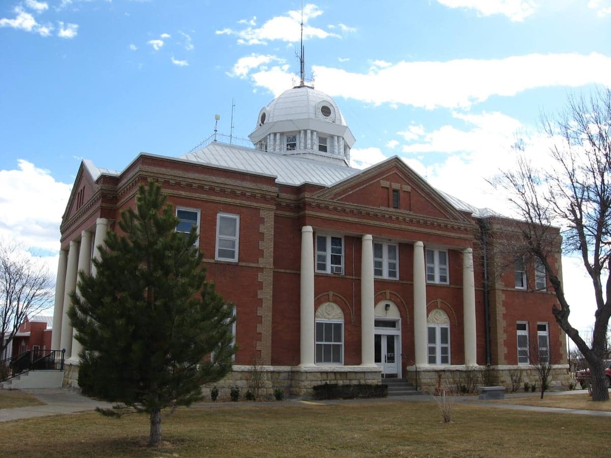
Photo: Wikipedia
Strategic Assessment of Union County
Deep buffer from population centers and strategic targets. Low natural disaster risk and minimal exposure to border or coastal threats.
What does the Strategic Assessment tell us?
Our Strategic Assessment grades tactical survivability of an area. Major population centers, military targets, fallout zones, natural disasters, and border exposure all drive risk — lower exposure means a more defensible position in a crisis.
This is heavily inspired by Joel Skousen's Strategic Relocation book. Highly recommended you checkout the book ($)What does this tell us?
Our Strategic Assessment grades tactical survivability of an area. Major population centers, military targets, fallout zones, natural disasters, and border exposure all drive risk — lower exposure means a more defensible position in a crisis.
This is heavily inspired by Joel Skousen's Strategic Relocation book. Highly recommended you checkout the book ($)Strategic Pillars

Key Distances
Strategic Assessment Analysis
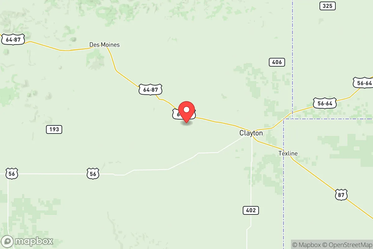
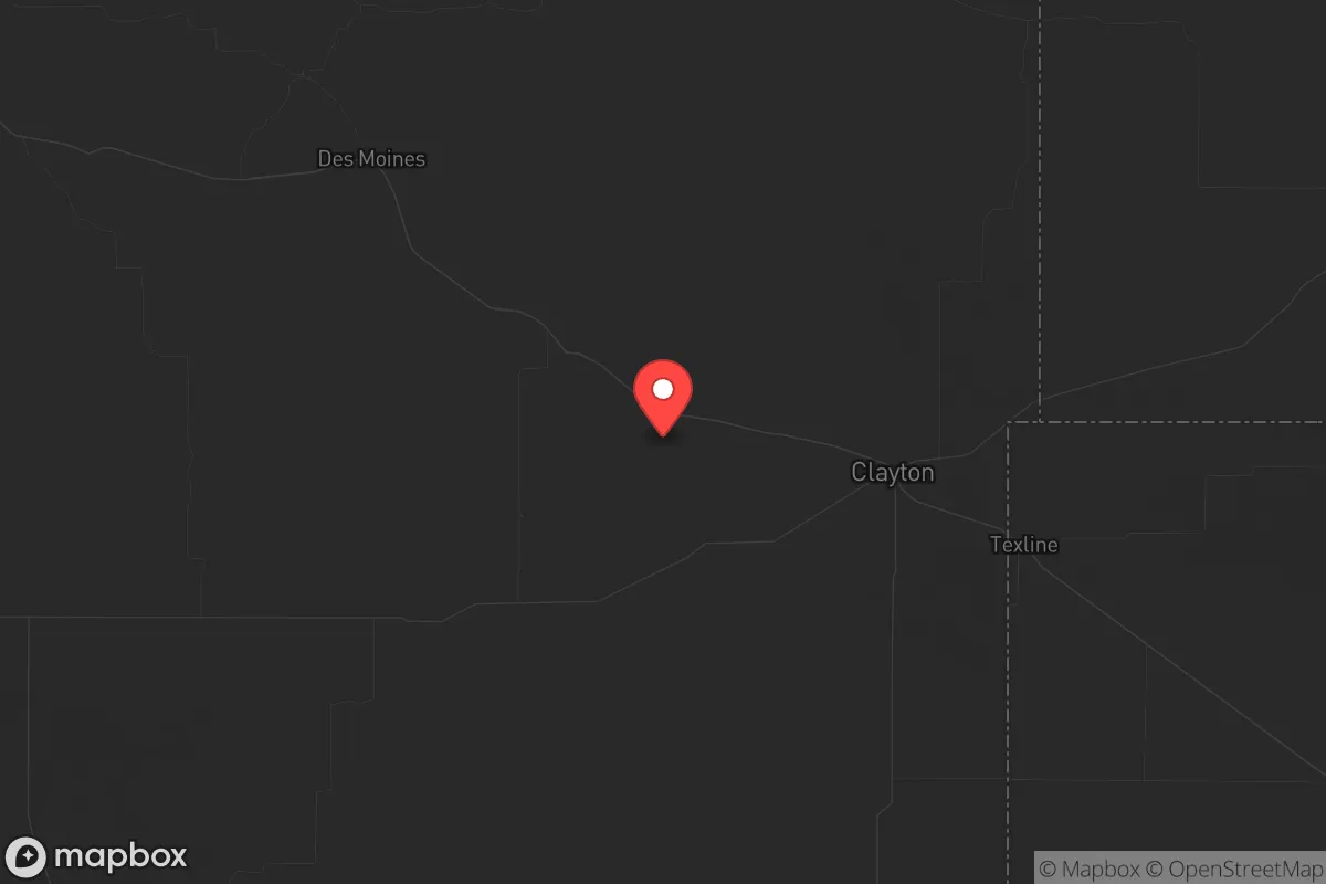
Union County, New Mexico, offers a strategic relocation option for those prioritizing long-term resilience and distance from major population centers. Located in the far northeastern corner of the state, this area combines low population density—roughly 4,000 residents across 3,800 square miles—with a position that sits well outside the primary fallout and unrest zones of the American Southwest. For a conservative-leaning individual or family focused on self-reliance and preparedness, Union County presents a compelling balance of isolation, access to resources, and relative stability, though it demands a clear-eyed assessment of its risks and practical realities.
Geographic position and natural advantages for long-term security
Union County’s location is its strongest asset. It borders the Oklahoma Panhandle to the east and Colorado to the north, placing it in a sparsely populated corridor that is far removed from the major metropolitan corridors of the Front Range (Denver, Colorado Springs) and the Texas Triangle (Dallas-Fort Worth, Houston, San Antonio). The county seat, Clayton, sits roughly 120 miles from Amarillo, Texas, and about 200 miles from Albuquerque—distances that provide a meaningful buffer against the immediate chaos of a major urban collapse or mass casualty event. The surrounding landscape is high plains and rolling grasslands, with the Kiowa National Grassland covering significant portions of the county. This terrain offers natural defensibility: open sightlines, limited cover for large-scale movement, and few major highways that would funnel displaced populations. The county’s elevation—around 5,000 feet—also means a cooler, drier climate than much of the Southwest, reducing wildfire risk compared to forested mountain areas and limiting the spread of vector-borne diseases. For a relocator, this geography translates into a low-probability zone for direct fallout from a nuclear event targeting major cities or military installations, as the nearest significant target—Cannon Air Force Base near Clovis, New Mexico—is over 150 miles southwest.
Risks, exposures, and proximity to fallout-relevant landmarks
No location is without risk, and Union County has specific exposures that a strategic relocator must weigh. The most immediate concern is the Palo Verde Nuclear Generating Station in Arizona, roughly 500 miles west—a distance that places it outside the primary fallout plume zone for most scenarios, but not entirely irrelevant for long-term atmospheric contamination. Closer to home, the Pantex Plant near Amarillo, Texas, is a nuclear weapons assembly and disassembly facility located about 120 miles east of Clayton. While Pantex is a hardened facility, a major incident there—whether accidental or intentional—could produce localized fallout that might affect eastern Union County depending on wind patterns. The county also sits near the Union County Airport (a small general aviation field) and is crossed by U.S. Highway 56 and 64, which could become evacuation routes from Amarillo or other regional hubs during a crisis. The risk of civil unrest is low here due to the sparse population, but the county’s proximity to the Oklahoma Panhandle—a region with its own oil and gas infrastructure—means that any disruption to energy production could affect local supply chains. For a prepper, the key takeaway is that Union County is not a zero-risk zone, but its risks are largely manageable through proper planning—unlike the existential threats of living near a major city or a primary military target.
Practical resilience for a relocator: food, water, energy, and defensibility
Self-sufficiency in Union County requires upfront investment, but the fundamentals are workable. Water is the most critical concern: the county sits over the Ogallala Aquifer, one of the largest freshwater aquifers in the world, though it is being depleted for agricultural use. Private wells are common in rural areas, and drilling a new well typically runs $10,000–$20,000 depending on depth. Surface water is limited to the Cimarron River and a few intermittent streams, so rainwater catchment and storage are essential for any off-grid setup. Food production is viable: the growing season is short (about 150 frost-free days), but the soil is fertile for dryland farming of grains, beans, and hardy vegetables. Local agriculture is dominated by cattle ranching and wheat farming, so a relocator with livestock skills will find a supportive community. Energy resilience is straightforward: the area averages over 270 sunny days per year, making solar power a reliable primary source, with wind as a secondary option—though winter storms can knock out grid power for days. Defensibility is excellent: the low population density means few neighbors, and the open terrain allows for early detection of any approach. The Clayton Municipal School District serves the area, and while educational options are limited, the conservative, rural culture aligns with values of self-reliance and community mutual aid. For a family, the trade-off is clear: you gain security and space, but you lose access to specialized healthcare, diverse employment, and urban amenities.
The overall strategic picture for Union County is one of a solid, if austere, redoubt. It is not a place for those seeking comfort or convenience, but for a relocator with a survivalist mindset—someone willing to drill a well, install solar panels, and learn to hunt or garden—it offers a defensible position with manageable risks. The county’s distance from major targets like Fort Hood (over 400 miles southeast) and the Houston refinery corridor (over 600 miles southeast) means that a cascading collapse of the national grid or a coordinated attack on infrastructure would likely leave this corner of New Mexico relatively untouched in the initial phases. The community is small, conservative, and largely self-reliant, which reduces the friction of integrating for like-minded individuals. The downsides—limited economic opportunity, harsh winters, and the need for significant upfront capital—are real, but they are the price of genuine preparedness. For those who see the current trajectory of the country as unstable and want a place to ride out the storm, Union County deserves a serious look. It won’t make headlines, and that’s exactly the point.
* Values derived from national, state, county, city and local statistics and may differ in a specific area. Last updated: 2026-05-22T03:53:53.000Z
Narrative content on this page is AI-generated and may contain mistakes. Verify any details that matter before acting on them.
ReloMaps may earn a commission from affiliate links at no extra cost to you.