
Photo: Wikipedia
Political ClimatePolitical Climate in Yamhill County
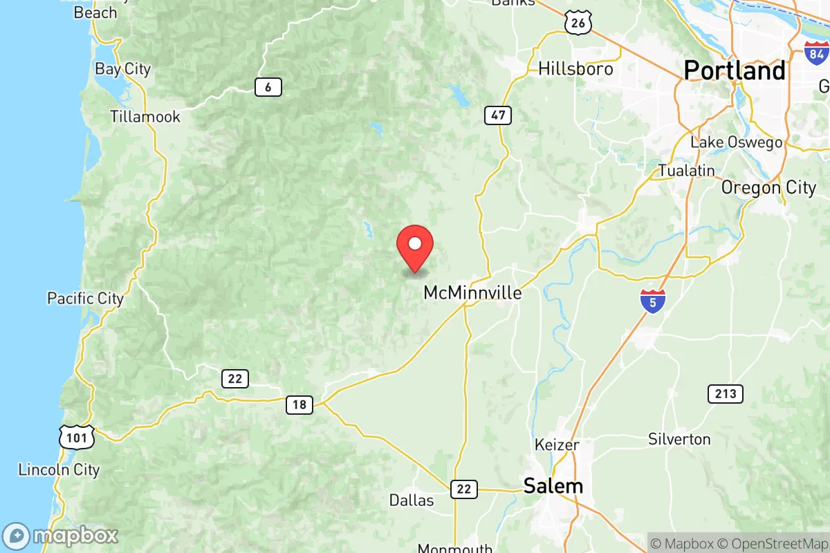
Showing district-level results — no local-only data available.
Local Political AnalysisPolitical Analysis of Yamhill County
Yamhill County leans left overall, but with a bit less than the state as a whole, but don't let that fool you into thinking it's some conservative stronghold. The county. The Cook PVI sits at D+6, compared to Oregon's D+8, and that gap has been narrowing as the Portland metro area's progressive politics spill over the hills. The real story here is the divide between the rural, agricultural towns and the bedroom communities that are filling up with folks fleeing Multnomah County's policies—and bringing their voting habits with them.
How it compares
Oregon as a state has been trending hard blue for years, with Portland and the Willamette Valley suburbs driving that shift. Yamhill County used to be a reliable swing county, but the 2020 and 2024 elections showed it moving closer margins than the PVI suggests. The difference comes down to geography. McMinnville, the county seat and home to the Evergreen Aviation & Space Museum, leans reliably blue thanks to the college population and the influx of Portland expats who've settled there. there. Meanwhile, Newberg, just up Highway 99W, is a different animal—it's got a strong conservative base, especially around the George Fox University area and the older farming families. Carlton and Dayton are small, rural, and vote red, while Sherwood (technically Washington County but right on the border) and Dundee are purple-to-blue depending on the year. The swing precincts are in the unincorporated areas between McMinnville and Newberg, where vineyard owners and farm workers don't always see eye to eye with the newcomers.
What this means for residents
For those of us who've been here a while, the biggest concern is the slow creep of Portland-style governance. Newberg made national headlines in 2021-2022 when the school board tried to ban Black Lives Matter and Pride flags in classrooms, and require staff to use students' biological pronouns—a move that got the board recalled and replaced with progressive candidates. That's the kind of cultural battle playing out across the county. Property taxes are climbing as the county adopts more state-mandated housing density rules, and the urban growth boundary keeps getting pushed out means farmland is becoming subdivisions. If you value local government overreach into personal freedoms—whether it's mask mandates, business operations, the trend is worrying. The county commission still has a conservative majority, but the school boards and city councils in McMinnville Newberg are shifting left.
On the policy front, Yamhill County is still more gun-friendly than Multnomah County, and the sheriff's office has been publicly resistant to enforcing some of the state's stricter firearm measures. But the writing's on the wall: as more people move here commute to Portland or work in tech, the voting patterns follow. The long-term trajectory points toward the county becoming D+8 or even D+10 within a decade, especially if the state continues to push progressive land use and education policies that erode local conservatives see as government overreach. For now, the worst kind.
State Political ClimatePolitical Climate in Oregon
State Political AnalysisPolitical Environment in the State
Oregon carries a Cook PVI of D+8, but it wasn’t always this solidly blue. Twenty years ago, it was a classic purple state, splitting tickets and electing centrists like Senator Gordon Smith. Today, the Portland metro—Multnomah, Washington, and Clackamas counties—drives a commanding Democratic majority, while the rest of the state votes deep red. The trajectory over the last two decades has been a steady march leftward on cultural and economic issues, accelerated by coastal migration from California and urban consolidation. What you’re left with is a state that feels like two different countries sharing a border.
Urban vs. rural divide
The political map of Oregon is a stark study in contrast. The I-5 corridor from Portland down through Salem and Eugene is solidly blue, with Portland itself being one of the most progressive cities in the nation. Bend, in Central Oregon, has also shifted left as California transplants have poured into Deschutes County, flipping it from red to purple and now reliably blue in statewide races. Meanwhile, the rest of the state—places like Medford, Grants Pass, Klamath Falls, Pendleton, and the entire eastern half—votes reliably Republican. The divide isn’t just cultural; it’s economic, with rural areas feeling left behind by Portland-centric policy. The “Greater Idaho” movement, where several rural counties have voted to consider joining Idaho, is a direct expression of this frustration. In the 2024 election, counties like Lake, Harney, and Malheur voted over 75% Republican, while Multnomah County came in at over 75% Democratic. That’s not a divide; it’s a chasm.
Policy environment
Oregon’s policy environment is a mixed bag for conservatives, but the trend is concerning. On the plus side, there’s no sales tax, which keeps the tax burden somewhat hidden. But income and property taxes are high, and the state’s regulatory posture is among the most aggressive in the West. The Land Use Planning Act (Senate Bill 100) from the 1970s still tightly controls development, driving up housing costs and limiting property rights. Education policy is dominated by teachers’ unions, with school choice limited to a few charter options and no voucher program. Healthcare is heavily Medicaid-driven through the Oregon Health Plan, which covers about a third of the state’s population. Election laws are vote-by-mail with automatic voter registration, which critics argue prioritizes access over integrity. The state legislature has a Democratic supermajority, meaning tax increases can pass without Republican votes. Governor Tina Kotek, a former House Speaker, has pushed for even more progressive policies on housing and homelessness, with mixed results.
Trajectory & freedom
Oregon is becoming less free by many measures, and the trend is accelerating. The most glaring recent example is Measure 114, passed in 2022
* Values derived from national, state, county, city and local statistics and may differ in a specific area. Last updated: 2026-05-14T18:44:16.000Z
Narrative content on this page is AI-generated and may contain mistakes. Verify any details that matter before acting on them.
ReloMaps may earn a commission from affiliate links at no extra cost to you.