
Photo: Wikipedia
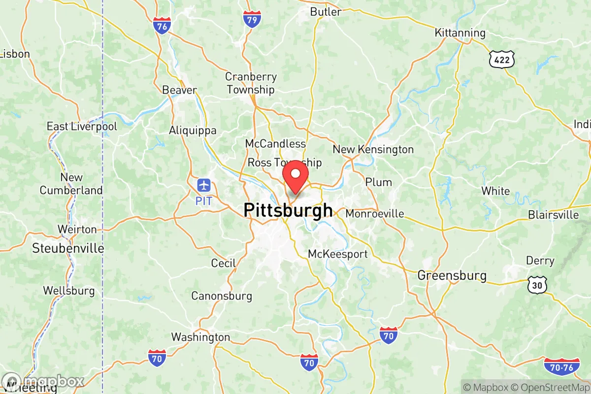
Strategic Assessment of Allegheny County
Multiple tactical vulnerabilities. Population density, target proximity, or disaster risk are likely compounding. A retreat property and exit planning is required.
What does the Strategic Assessment tell us?
Our Strategic Assessment grades tactical survivability of an area. Major population centers, military targets, fallout zones, natural disasters, and border exposure all drive risk — lower exposure means a more defensible position in a crisis.
This is heavily inspired by Joel Skousen's Strategic Relocation book. Highly recommended you checkout the book ($)What does this tell us?
Our Strategic Assessment grades tactical survivability of an area. Major population centers, military targets, fallout zones, natural disasters, and border exposure all drive risk — lower exposure means a more defensible position in a crisis.
This is heavily inspired by Joel Skousen's Strategic Relocation book. Highly recommended you checkout the book ($)Strategic Pillars

Key Distances
Strategic Assessment Analysis
Allegheny County offers a mixed strategic picture for the relocation-minded reader focused on resilience and self-sufficiency. Its core advantage is a robust, diversified local economy and infrastructure that can weather national disruptions better than single-industry regions, but its dense urban core and heavy industrial legacy introduce significant exposure risks that a serious preparedness-minded relocator must weigh carefully. The county sits at the confluence of three major rivers—the Allegheny, Monongahela, and Ohio—providing both a natural water asset and a concentration of critical infrastructure that could become a liability in a crisis. For a conservative-leaning audience prioritizing community stability, local food networks, and defensible property, the key is understanding which parts of the county offer genuine resilience and which are simply suburbs of a vulnerable city.
Geographic position and natural advantages for self-sufficiency
Allegheny County’s geography is defined by its river valleys and surrounding hills, which create a natural topography that can aid both water access and defensibility. The three rivers provide a reliable surface water source for communities with proper filtration, and the county’s position in the Appalachian Plateau means it is not prone to hurricanes, tornadoes, or earthquakes—a significant plus for long-term stability. The region’s moderate climate supports a growing season of roughly 150–170 days, which is workable for home gardening and small-scale agriculture, especially in the eastern and southern townships like Elizabeth Township, South Park, and the rural stretches near the county line. The presence of Pittsburgh International Airport in Findlay Township is a double-edged sword: it offers logistical connectivity but also represents a potential target. More positively, the county’s abundant state game lands and parks—such as Raccoon Creek State Park and Deer Lakes Park—provide open space for hunting, foraging, and emergency relocation within a short drive of most suburbs. The hills themselves offer natural barriers that can slow movement and provide vantage points, a fact not lost on those who study historical defense patterns in the region.
Risks, exposures, and proximity to fallout-relevant landmarks
The most significant strategic drawback of Allegheny County is its concentration of high-value industrial and infrastructure targets. The county is home to the U.S. Steel Edgar Thomson Works in Braddock, one of the largest integrated steel mills in the country, and the Shell Polymers Monaca petrochemical plant just across the Ohio River in Beaver County. These facilities, along with the Pittsburgh Refinery (formerly Chevron) in Neville Island, represent potential points of failure in a conflict or major accident scenario. The county also hosts the Pittsburgh Air Reserve Station at the airport and the Carnegie Mellon University and University of Pittsburgh research complexes, which could be considered soft targets. For a relocator, the key takeaway is that proximity to these sites—especially within a 10-mile radius—increases risk. The dense urban core of Pittsburgh itself, with its population of roughly 300,000 and complex bridge-and-tunnel infrastructure, could become a bottleneck or a liability in an evacuation scenario. Flooding is a recurring natural risk in low-lying river communities like Millvale and Sharpsburg, which have experienced repeated inundation events. The county’s aging industrial infrastructure also means that chemical spills or air quality incidents are not hypothetical—the 2023 Norfolk Southern train derailment in nearby East Palestine, Ohio, served as a reminder of how quickly a localized event can affect a wide area.
Practical resilience for a relocator: food, water, energy, and defensibility
For a family or individual serious about self-sufficiency, Allegheny County offers a mixed but workable environment. Water access is excellent for those with property near the rivers or with a drilled well—the county’s groundwater is generally reliable, though testing for industrial contaminants is advisable in older mining areas. The three rivers are navigable and provide a potential transportation corridor for trade or movement if roads become impassable. Local food production is viable in the county’s many suburban and exurban townships, with farmers’ markets operating in places like Mount Lebanon, Franklin Park, and Plum. The Pennsylvania Farm Bureau and local agricultural extension offices provide resources for small-scale farming, and the county’s soil quality in the eastern and southern sections is adequate for vegetables and small livestock. Energy resilience is a stronger point: the county sits atop the Marcellus Shale natural gas formation, and many rural homes already use propane or natural gas for heating and cooking. Solar potential is moderate—the region averages about 160 sunny days per year, less than the Southwest but enough for a well-designed off-grid system with battery storage. Defensibility varies dramatically by location. The hilltop communities like Fox Chapel and Sewickley offer natural chokepoints and limited access roads, while the flat river valleys are more exposed. A relocator should prioritize properties with a single access road, good sightlines, and a water source on-site. The county’s strong gun culture and widespread hunting tradition mean that firearms and ammunition are readily available, and the local sheriff’s offices in townships like Penn Hills and Ross Township generally support Second Amendment rights.
Overall, Allegheny County presents a strategic option for the relocator who values economic stability and natural resources but is willing to accept the risks of living near a major industrial and population center. The key is to choose a location carefully—avoiding the floodplains, the immediate vicinity of heavy industrial sites, and the dense urban core—while leveraging the county’s abundant water, workable growing conditions, and strong community networks. For a conservative-leaning family that wants access to Pittsburgh’s medical and logistical infrastructure without being dependent on it, the outer townships and rural pockets of Allegheny County offer a defensible base with real self-sufficiency potential. The trade-off is that you are never more than 30 minutes from a potential target, but with proper planning—well water, solar backup, food storage, and a community of like-minded neighbors—that proximity can be managed rather than feared.
* Values derived from national, state, county, city and local statistics and may differ in a specific area. Last updated: 2026-06-12T09:29:08.000Z
Narrative content on this page is AI-generated and may contain mistakes. Verify any details that matter before acting on them.
ReloMaps may earn a commission from affiliate links at no extra cost to you.