Photo: Wikipedia
Strategic Assessment of Phoenix Lake, CA
Workable tactical position. Some exposure to population density or targets, but generally defensible in a crisis.
What does the Strategic Assessment tell us?
Our Strategic Assessment grades tactical survivability of an area. Major population centers, military targets, fallout zones, natural disasters, and border exposure all drive risk — lower exposure means a more defensible position in a crisis.
This is heavily inspired by Joel Skousen's Strategic Relocation book. Highly recommended you checkout the book ($)What does this tell us?
Our Strategic Assessment grades tactical survivability of an area. Major population centers, military targets, fallout zones, natural disasters, and border exposure all drive risk — lower exposure means a more defensible position in a crisis.
This is heavily inspired by Joel Skousen's Strategic Relocation book. Highly recommended you checkout the book ($)Strategic Pillars

Key Distances
Regional Safe Places
Below is our recommended "safe zones" in California and the surrounding area based on our strategic heuristics. For most people, it's unrealistic to live in a “safe zone” full-time due to work, family or other personal reasons. They tend to be more rural. However, many of these areas are perfect for second homes and retreat properties that double as a vacation home or even a short-term rental.




Important Note: For informational purposes only. This does not mean nothing bad ever happens in the green zones. Please use common sense. This is based on public data and modeled with AI. We tried to take a conservative approach but mistakes happen. We update this regularly as new information becomes available.
Solar Generator Recommendations
Backup power matters more here than in safer locations. We've picked three solar generators across budgets and capacity tiers — start with the budget unit if you only need a few essentials, or step up if you want to run a fridge and HVAC for days at a time.

Jackery Portable Power Station Explorer 300
Budget OptionPower on the Go: Weighing only 11 lbs, it's convenient to set up and store with book-sized foldable solar panels

BLUETTI Portable Power Station AC180
Designed for both indoor and outdoor scenarios, AC180 is highly capable as it has a robost capacity and continuous output power.

EF ECOFLOW DELTA Pro Ultra Power Station
Upgraded PickEcoFlow DELTA Pro Ultra is a whole-home energy system designed to grow with your family. Integrated with the Smart Home Panel 2, it scales to meet your evolving energy needs — keeping your home powered, intelligent, and secure through every stage of life.
We earn a commission, at no additional cost to you.
Strategic Assessment Analysis
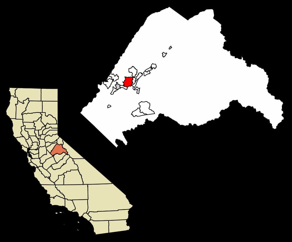
Phoenix Lake, California, offers a compelling mix of remote defensibility and practical self-sufficiency that appeals to the disaster-aware relocator, but its proximity to major population centers and critical infrastructure introduces trade-offs that demand careful consideration. Nestled in the Sierra Nevada foothills of Tuolumne County, this unincorporated community sits at roughly 2,600 feet elevation, providing a natural buffer against both coastal tsunami risks and Central Valley floodplains. For a family or individual prioritizing resilience, the area’s combination of forested terrain, moderate climate, and distance from immediate urban sprawl makes it a viable base, though not without significant exposure to wildfire and the fallout risks associated with nearby strategic targets.
Geographic position and natural advantages for long-term survival
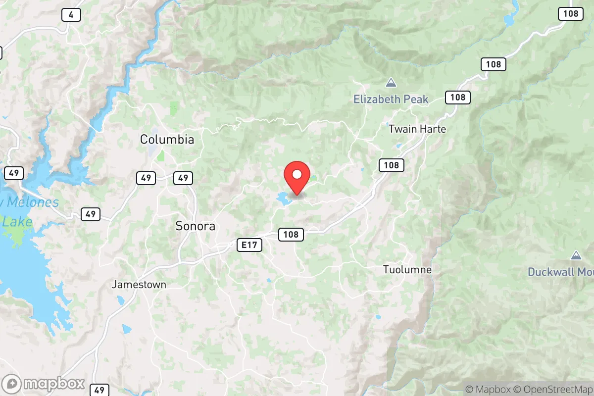
Phoenix Lake’s location in the Stanislaus National Forest corridor gives it a distinct edge in a grid-down scenario. The community is roughly 30 miles east of Modesto and 100 miles southeast of Sacramento, placing it far enough from major metropolitan blast zones to avoid immediate thermal or shockwave effects from a nuclear detonation, yet close enough to access pre-disaster supply chains. The surrounding terrain—steep canyons, granite outcroppings, and dense mixed conifer forests—creates natural chokepoints that slow unauthorized movement, a key defensive asset. Water availability is a standout advantage: the lake itself is a 300-acre reservoir fed by snowmelt from the Sierra crest, and the nearby Tuolumne River system provides year-round flow. The area’s Mediterranean climate, with dry summers and wet winters, supports rain catchment and small-scale agriculture, though the growing season is limited to roughly 150 frost-free days. Elevation also reduces the risk of earthquake liquefaction common in the Central Valley, and the region’s low population density—Tuolumne County has about 55,000 residents across 2,200 square miles—means less competition for resources post-collapse.
Risks, exposures, and proximity to fallout-relevant landmarks
The most immediate threat to Phoenix Lake is wildfire. The 2013 Rim Fire, which burned over 250,000 acres in the Stanislaus National Forest, came within 10 miles of the community, and the area sits in a high-severity fire hazard zone with limited evacuation routes—primarily Highway 108 and a network of narrow county roads. A major fire during a regional emergency could trap residents, making defensible space and a pre-planned retreat route essential. Beyond natural hazards, the area’s strategic exposure is moderate but real. Phoenix Lake lies roughly 70 miles from the San Onofre Nuclear Generating Station (SONGS) in San Diego County, a decommissioned plant still storing spent fuel, and about 90 miles from the Diablo Canyon Power Plant near San Luis Obispo. While these distances provide some buffer, prevailing winds from the west could carry fallout from a catastrophic release or attack on either facility. More concerning is the proximity to Beale Air Force Base (north of Sacramento, ~120 miles away) and Naval Air Station Lemoore (~130 miles southwest), both high-value targets in a conflict. A ground burst at either site could deposit fallout across the Sierra foothills within 12-24 hours, depending on weather. The community’s location in a valley between ridges offers some shielding from direct line-of-sight radiation, but residents should plan for at least two weeks of sheltering with HEPA filtration. Additionally, the nearby Don Pedro Reservoir and New Melones Dam are critical infrastructure that could be targeted for sabotage, though their earthen construction makes catastrophic failure less likely than concrete dams.
Practical resilience for a relocator: food, water, energy, and defensibility
For the self-sufficient relocator, Phoenix Lake’s practical resilience is a mixed bag. Water is the strongest asset: the lake itself provides a reliable surface source, and many properties have wells tapping into the Sierra Nevada aquifer, which has moderate recharge rates. Rainwater catchment is viable with proper storage, as annual precipitation averages 30-40 inches, mostly from November to March. Food production is feasible but constrained by soil quality—much of the area is decomposed granite and rocky loam, requiring raised beds or imported topsoil for vegetables. Game is abundant: black-tailed deer, wild turkey, and small game are common, and the Stanislaus National Forest allows hunting with a license. However, long-term food storage requires planning, as local grocery options are limited to a small market in Twain Harte (5 miles away) and a larger Save Mart in Sonora (10 miles). Energy independence is achievable: the area has good solar exposure (average 5.5 peak sun hours per day), and many off-grid homes already use photovoltaic systems with battery backup. Wood heating is standard, with ample deadfall from beetle-kill pines, but air quality regulations during fire season may restrict burning. Defensibility is strong due to the terrain—single-lane roads with limited visibility, dense tree cover, and few entry points from Highway 108. Neighbors tend to be armed and self-reliant, a cultural norm in Tuolumne County that discourages casual looting. The main vulnerability is the single primary evacuation route (Highway 108 west to Sonora), which can be blocked by fire or accident; a secondary route via Forest Service roads to the east requires a high-clearance vehicle and local knowledge.
The overall strategic picture for Phoenix Lake is one of high potential tempered by specific, manageable risks. For a family willing to invest in wildfire mitigation—clearing defensible space, installing a metal roof, and maintaining a backup generator—the area offers a rare combination of water security, natural barriers, and a community culture that values preparedness. The proximity to California’s major population centers and military targets is a real liability, but the distance is sufficient to avoid the worst of a blast or fallout plume if sheltering protocols are followed. Phoenix Lake is not a bug-out location for a novice; it rewards those who arrive with skills, supplies, and a plan. The local economy, driven by tourism and remote work, provides a buffer against pre-disaster economic shocks, and the county’s low property taxes (roughly 1% of assessed value under Prop 13) make long-term holding feasible. For the disaster-aware relocator who values independence over convenience, Phoenix Lake is a solid B+ option—strong on fundamentals, but requiring active management of its fire and proximity risks to realize its full resilience potential.

* Values derived from national, state, county, city and local statistics and may differ in a specific area. Last updated: 2026-08-19T19:30:53.000Z
Narrative content on this page is AI-generated and may contain mistakes. Verify any details that matter before acting on them.
ReloMaps may earn a commission from affiliate links at no extra cost to you.

