
Photo: Wikipedia
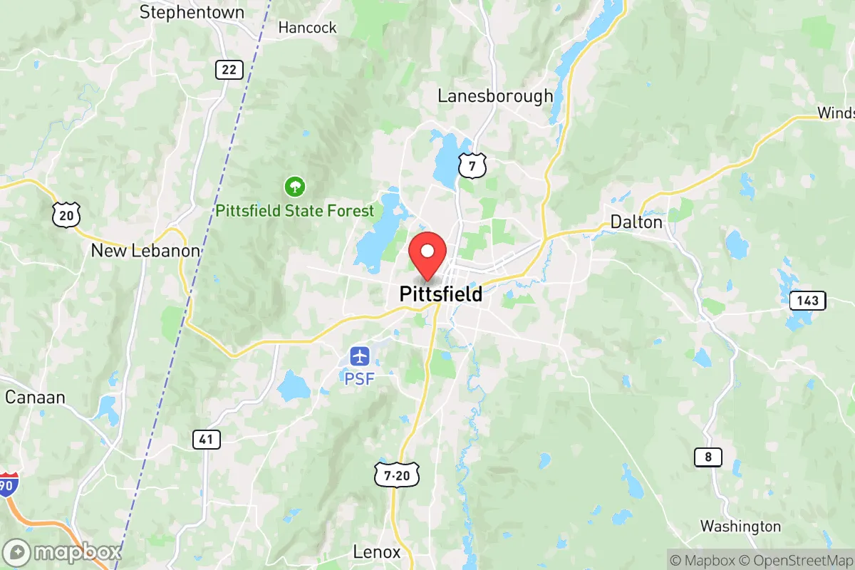
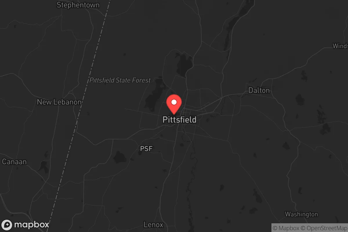
Strategic Assessment of Pittsfield, MA
Meaningful friction. Expect exposure to either population pressure, blast zones, or natural disaster risk. Consider buying a retreat property.
What does the Strategic Assessment tell us?
Our Strategic Assessment grades tactical survivability of an area. Major population centers, military targets, fallout zones, natural disasters, and border exposure all drive risk — lower exposure means a more defensible position in a crisis.
This is heavily inspired by Joel Skousen's Strategic Relocation book. Highly recommended you checkout the book ($)What does this tell us?
Our Strategic Assessment grades tactical survivability of an area. Major population centers, military targets, fallout zones, natural disasters, and border exposure all drive risk — lower exposure means a more defensible position in a crisis.
This is heavily inspired by Joel Skousen's Strategic Relocation book. Highly recommended you checkout the book ($)Strategic Pillars

Key Distances
Regional Safe Places
Below is our recommended "safe zones" in Massachusetts and the surrounding area based on our strategic heuristics. For most people, it's unrealistic to live in a “safe zone” full-time due to work, family or other personal reasons. They tend to be more rural. However, many of these areas are perfect for second homes and retreat properties that double as a vacation home or even a short-term rental.


Important Note: For informational purposes only. This does not mean nothing bad ever happens in the green zones. Please use common sense. This is based on public data and modeled with AI. We tried to take a conservative approach but mistakes happen. We update this regularly as new information becomes available.
Solar Generator Recommendations
Backup power matters more here than in safer locations. We've picked three solar generators across budgets and capacity tiers — start with the budget unit if you only need a few essentials, or step up if you want to run a fridge and HVAC for days at a time.

Jackery Portable Power Station Explorer 300
Budget OptionPower on the Go: Weighing only 11 lbs, it's convenient to set up and store with book-sized foldable solar panels

BLUETTI Portable Power Station AC180
Designed for both indoor and outdoor scenarios, AC180 is highly capable as it has a robost capacity and continuous output power.

EF ECOFLOW DELTA Pro Ultra Power Station
Upgraded PickEcoFlow DELTA Pro Ultra is a whole-home energy system designed to grow with your family. Integrated with the Smart Home Panel 2, it scales to meet your evolving energy needs — keeping your home powered, intelligent, and secure through every stage of life.
We earn a commission, at no additional cost to you.
Strategic Assessment Analysis
Pittsfield, Massachusetts, presents a mixed strategic picture for the conservative prepper or survivalist. While its location in the rural Berkshires offers some natural buffers, its proximity to major population centers and critical infrastructure nodes introduces significant vulnerabilities that must be weighed carefully. The area's resilience is not inherent; it is conditional on specific preparations and a clear-eyed understanding of the threats that surround this small city in the far western part of the state.
Geographic position and natural advantages for long-term survival
Pittsfield sits in a valley surrounded by the Berkshire Hills, roughly 40 miles from the New York state line and about 130 miles west of Boston. This geographic isolation is a double-edged sword. On the plus side, the region is far from the dense urban corridors of the Northeast Corridor, which includes Boston, New York City, and Albany. In a scenario involving civil unrest, mass casualty events, or a major disaster, the Berkshires would likely see less immediate chaos than those metropolitan areas. The surrounding terrain—steep hills, dense forests, and numerous small lakes—provides natural defensibility and multiple egress routes for those who know the back roads. The area is also rich in fresh water: the Housatonic River runs through Pittsfield, and the nearby Ashuwillticook River and numerous ponds (like Onota Lake and Pontoosuc Lake) offer reliable surface water sources. For a relocator, the ability to filter and treat water from these sources is a tangible advantage. The local climate is cold and snowy in winter, which can be a hardship but also a natural deterrent to unprepared transient populations. The growing season is short (roughly 120-140 days), but the fertile valley soils can support small-scale agriculture if you have the land and the know-how.
Risks, exposures, and proximity to fallout-relevant landmarks
The negatives are substantial and must not be ignored. Pittsfield is only 40 miles from Albany, New York, a state capital with a major international airport, a large rail yard, and a significant population (over 1 million in the metro area). In a national emergency, Albany would be a focal point for government activity, military movements, and potentially civil unrest. The outflow of people from Albany into the rural areas of the Berkshires would be a primary concern. Furthermore, Pittsfield is within 100 miles of the Indian Point nuclear power plant (though it is now permanently shut down, the spent fuel remains on site) and roughly 60 miles from the Vermont Yankee nuclear site (also decommissioned but with spent fuel). While these are not active reactors, any radiological incident at these sites—whether from accident, sabotage, or attack—could place Pittsfield in a downwind plume path depending on weather patterns. The city itself has a history of industrial contamination, particularly from General Electric's PCB dumping into the Housatonic River, which is a long-term environmental liability that complicates local water and soil use. Additionally, the Massachusetts Turnpike (I-90) runs just south of Pittsfield, providing a direct highway from Boston to the New York border. In a crisis, this road would be a primary evacuation and movement corridor, potentially turning Pittsfield into a chokepoint or a target for looting and refugee flows.
Practical resilience for a relocator: food, water, energy, and defensibility
For a relocator with a prepper mindset, Pittsfield requires a proactive approach. Food security is a major challenge. The local grocery infrastructure is limited to a few supermarkets (Big Y, Price Chopper, Walmart) that would be stripped bare within hours of a major event. Local agriculture exists—there are farms in the surrounding towns like Richmond, Lenox, and Hancock—but the city itself is not a food-producing hub. A relocator would need to secure a property with enough land for a substantial garden, and ideally establish relationships with local farmers before a crisis. Water is more promising, but the Housatonic River's PCB contamination means you cannot rely on it without advanced filtration (reverse osmosis or activated carbon systems). Onota Lake and the smaller ponds are cleaner but still require treatment. Energy resilience is mixed. The grid in western Massachusetts is aging and vulnerable to ice storms and wind events. Solar is viable, but the region's frequent cloud cover reduces its reliability in winter. Wood heat is the most practical backup, and the surrounding forests provide ample fuel—but you need a chainsaw, a wood splitter, and the physical ability to process it. Defensibility is moderate. The valley floor is open, but the hills offer good observation points and natural barriers. A property with a long driveway, a well, and a southern exposure for solar would be ideal. However, the city's population of roughly 43,000 means you cannot rely on complete isolation; you will have neighbors, and in a collapse scenario, you will need to assess their intentions and capabilities.
The overall strategic picture for a conservative relocator
Pittsfield is not a bug-out location for the unprepared. It is a location for a disciplined, well-equipped individual or family who understands that proximity to Albany and the I-90 corridor is a persistent threat. The natural advantages—water, defensible terrain, and relative isolation from the worst of the Northeast Corridor—are real, but they are offset by the risks of refugee flows from the east and south, the legacy of industrial pollution, and the short growing season. For a conservative relocator who values self-reliance and is willing to invest in off-grid infrastructure (solar, well, septic, wood heat, water filtration), the Berkshires offer a viable long-term base. The local culture is a mix of liberal-leaning arts communities (Lenox, Stockbridge) and more traditional rural populations (northern Berkshire towns like North Adams and Williamstown). You will find like-minded people, but they are not the majority. The key is to arrive with a plan, not a hope. If you are looking for a place to ride out a national crisis with a reasonable chance of success, Pittsfield is a candidate—but only if you treat it as a strategic outpost requiring constant vigilance and preparation, not a safe haven. The hills are beautiful, but they do not guarantee safety. Your own skills, supplies, and community-building efforts will determine whether this location becomes a refuge or a trap.
* Values derived from national, state, county, city and local statistics and may differ in a specific area. Last updated: 2026-04-24T08:07:05.000Z
Narrative content on this page is AI-generated and may contain mistakes. Verify any details that matter before acting on them.
ReloMaps may earn a commission from affiliate links at no extra cost to you.