

Photo: Wikipedia
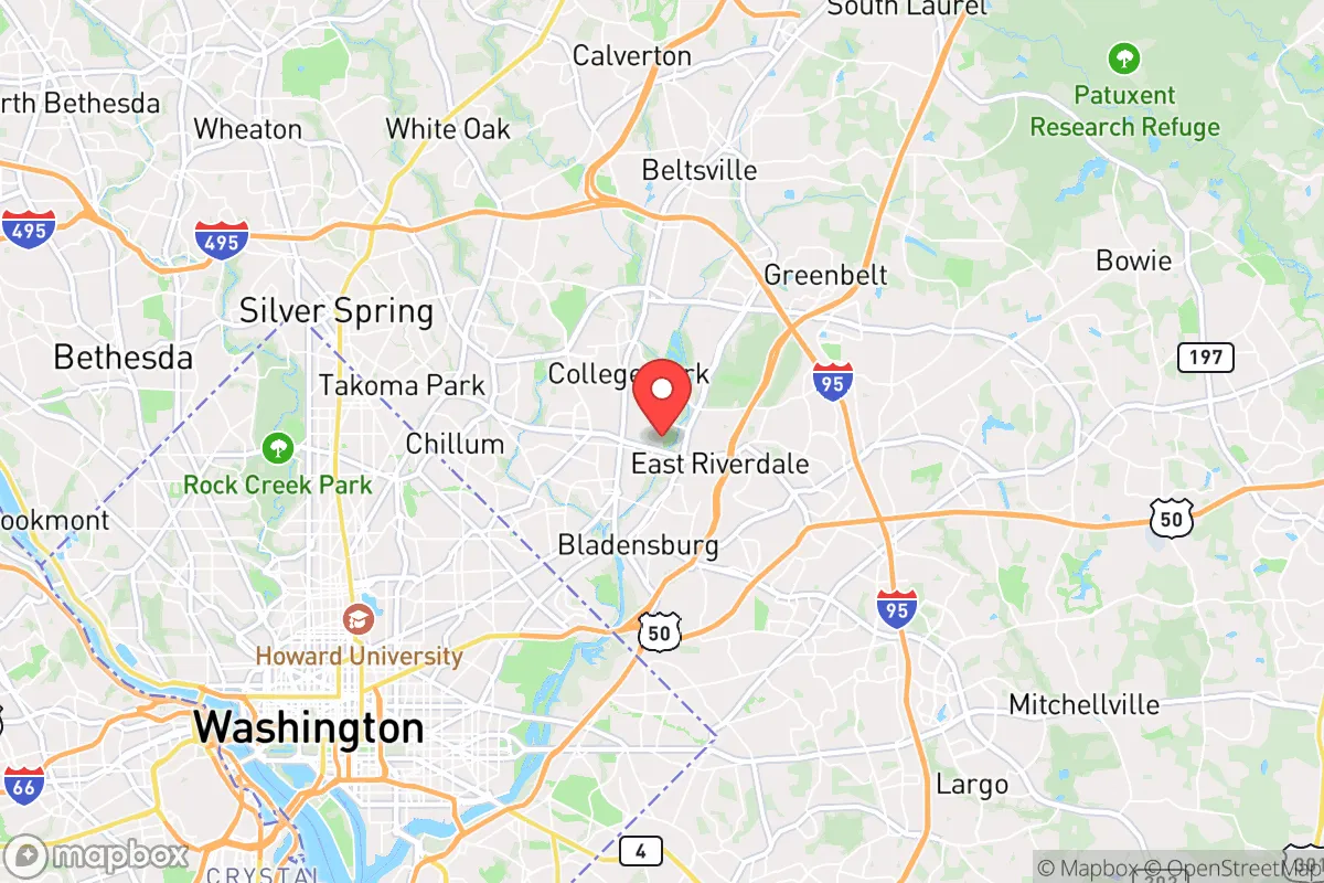
Strategic Assessment of Riverdale Park, MD
Multiple tactical vulnerabilities. Population density, target proximity, or disaster risk are likely compounding. A retreat property and exit planning is required.
What does the Strategic Assessment tell us?
Our Strategic Assessment grades tactical survivability of an area. Major population centers, military targets, fallout zones, natural disasters, and border exposure all drive risk — lower exposure means a more defensible position in a crisis.
This is heavily inspired by Joel Skousen's Strategic Relocation book. Highly recommended you checkout the book ($)What does this tell us?
Our Strategic Assessment grades tactical survivability of an area. Major population centers, military targets, fallout zones, natural disasters, and border exposure all drive risk — lower exposure means a more defensible position in a crisis.
This is heavily inspired by Joel Skousen's Strategic Relocation book. Highly recommended you checkout the book ($)Strategic Pillars

Key Distances
Regional Safe Places
Below is our recommended "safe zones" in Maryland and the surrounding area based on our strategic heuristics. For most people, it's unrealistic to live in a “safe zone” full-time due to work, family or other personal reasons. They tend to be more rural. However, many of these areas are perfect for second homes and retreat properties that double as a vacation home or even a short-term rental.


Important Note: For informational purposes only. This does not mean nothing bad ever happens in the green zones. Please use common sense. This is based on public data and modeled with AI. We tried to take a conservative approach but mistakes happen. We update this regularly as new information becomes available.
Solar Generator Recommendations
Backup power matters more here than in safer locations. We've picked three solar generators across budgets and capacity tiers — start with the budget unit if you only need a few essentials, or step up if you want to run a fridge and HVAC for days at a time.

Jackery Portable Power Station Explorer 300
Budget OptionPower on the Go: Weighing only 11 lbs, it's convenient to set up and store with book-sized foldable solar panels

BLUETTI Portable Power Station AC180
Designed for both indoor and outdoor scenarios, AC180 is highly capable as it has a robost capacity and continuous output power.

EF ECOFLOW DELTA Pro Ultra Power Station
Upgraded PickEcoFlow DELTA Pro Ultra is a whole-home energy system designed to grow with your family. Integrated with the Smart Home Panel 2, it scales to meet your evolving energy needs — keeping your home powered, intelligent, and secure through every stage of life.
We earn a commission, at no additional cost to you.
Strategic Assessment Analysis
Riverdale Park, Maryland, presents a complex strategic picture for the conservative prepper or survivalist. Its primary advantage is its location within the Washington, D.C. metropolitan area, which provides access to resources and infrastructure, but this same proximity is its greatest liability. The town sits in a densely populated corridor that would be a primary target during any major national crisis, from civil unrest to a mass casualty event. For a relocator prioritizing long-term resilience and self-sufficiency, Riverdale Park is best understood as a high-risk, high-exposure location that demands a specific, short-term contingency mindset rather than a long-term homesteading strategy.
Geographic position and natural advantages for a prepper
Geographically, Riverdale Park is situated in Prince George's County, roughly 5 miles northeast of the U.S. Capitol building. This places it squarely within the "blast zone" of any major D.C.-centric event, whether a terrorist attack, a coordinated civil disturbance, or a grid-down scenario. The town is bounded by the Northeast Branch of the Anacostia River, which offers a modest natural barrier to the west and south, but this is a minor advantage. The area is largely flat, with limited elevation for defensible positions or long-range observation. The soil is a mix of urban fill and clay, which is poor for large-scale gardening without significant amendment. The climate is Mid-Atlantic temperate, with hot, humid summers and cold winters—manageable but not ideal for off-grid living. The proximity to the Baltimore-Washington Parkway and I-95 provides excellent evacuation routes, but these same arteries would become chokepoints during a crisis. The natural advantages here are minimal: the river offers a water source (though heavily polluted), and the tree cover in nearby parks like Riverdale Park itself provides some concealment. But for a serious prepper, this is not a location chosen for its natural defensibility or agricultural potential.
Risks, exposures, and proximity to fallout-relevant landmarks
The primary risk for a relocator in Riverdale Park is its location within the bullseye of the D.C. metro area. The town is within 10 miles of multiple high-value targets: the U.S. Capitol, the Pentagon, Joint Base Andrews (home to Air Force One), and the White House. In a mass casualty event or a coordinated attack, this area would be a primary zone for secondary strikes, martial law checkpoints, and refugee flow. The town is also near the University of Maryland, College Park, a major population center that could become a flashpoint during civil unrest. The proximity to the D.C. border means that any political or social upheaval in the capital—whether a contested election, a terrorist attack, or a pandemic-related lockdown—would immediately spill into Riverdale Park. The area's dense population (over 7,000 people per square mile) means that during a grid-down scenario, competition for resources would be fierce. The town's water supply comes from the Washington Suburban Sanitary Commission, which relies on the Potomac River and a centralized treatment system—vulnerable to contamination or sabotage. The electrical grid is part of the PJM Interconnection, which is robust but not hardened against EMP or cyberattack. In short, Riverdale Park is a high-exposure location that would be among the first areas to experience chaos during any national crisis.
Practical resilience for a relocator: food, water, energy, and defensibility
For a relocator considering Riverdale Park, practical resilience is severely limited. Food security is poor: the town has no significant agricultural land, and the nearest reliable food sources are grocery stores that would empty within 48 hours of a crisis. Community gardens exist but are small and vulnerable to looting. Water security is a major concern: the Anacostia River is heavily polluted with sewage and industrial runoff, making it unusable without advanced filtration (e.g., reverse osmosis or distillation). The municipal water system is centralized and would be a target for disruption. A prepper would need to store at least two weeks of water per person, which is feasible in a single-family home but difficult in an apartment. Energy resilience is moderate: solar panels are allowed in Prince George's County, but the tree cover and urban density limit their effectiveness. A backup generator with fuel storage is practical for a house, but noise and fuel supply are issues during a prolonged outage. Defensibility is poor: the town's layout is suburban, with grid-like streets and limited natural chokepoints. Most homes have front and back yards, but these are easily approachable. The police presence is moderate, but during a crisis, response times would be long. The best defensive strategy here is to have a "bug-out" plan to a rural location within 50-100 miles, such as in Western Maryland or Pennsylvania. For those who must stay, a well-stocked basement or interior room with reinforced doors and a communication plan is essential. The town's proximity to the University of Maryland also means a large transient population that could become a source of unrest.
Overall, the strategic picture for Riverdale Park is one of high risk with limited reward for the conservative prepper. The town's location within the D.C. metro area makes it a prime target for any major event, from a terrorist attack to a civil breakdown. The natural advantages are minimal, and the practical challenges of food, water, and energy security are significant. For a single individual or a family, this is not a location for long-term self-sufficiency or a bug-in strategy. Instead, it is a place to have a short-term contingency plan—a well-stocked apartment or house with a clear evacuation route to a safer, more rural area. The best use of Riverdale Park for a survivalist is as a temporary base with a pre-positioned bug-out vehicle and a destination in mind. If you are considering relocation here, do so with the understanding that you are living in the shadow of a major target, and your resilience depends on your ability to leave quickly when the situation demands it. For those seeking true strategic depth, look further out—toward the Appalachian foothills or the Delmarva Peninsula—where the risks are lower and the opportunities for self-reliance are greater.
* Values derived from national, state, county, city and local statistics and may differ in a specific area. Last updated: 2026-04-22T02:38:24.000Z
Narrative content on this page is AI-generated and may contain mistakes. Verify any details that matter before acting on them.
ReloMaps may earn a commission from affiliate links at no extra cost to you.