Photo: Wikipedia
Strategic Assessment of Schererville, IN
Multiple tactical vulnerabilities. Population density, target proximity, or disaster risk are likely compounding. A retreat property and exit planning is required.
What does the Strategic Assessment tell us?
Our Strategic Assessment grades tactical survivability of an area. Major population centers, military targets, fallout zones, natural disasters, and border exposure all drive risk — lower exposure means a more defensible position in a crisis.
This is heavily inspired by Joel Skousen's Strategic Relocation book. Highly recommended you checkout the book ($)What does this tell us?
Our Strategic Assessment grades tactical survivability of an area. Major population centers, military targets, fallout zones, natural disasters, and border exposure all drive risk — lower exposure means a more defensible position in a crisis.
This is heavily inspired by Joel Skousen's Strategic Relocation book. Highly recommended you checkout the book ($)Strategic Pillars

Key Distances
Regional Safe Places
Below is our recommended "safe zones" in Indiana and the surrounding area based on our strategic heuristics. For most people, it's unrealistic to live in a “safe zone” full-time due to work, family or other personal reasons. They tend to be more rural. However, many of these areas are perfect for second homes and retreat properties that double as a vacation home or even a short-term rental.

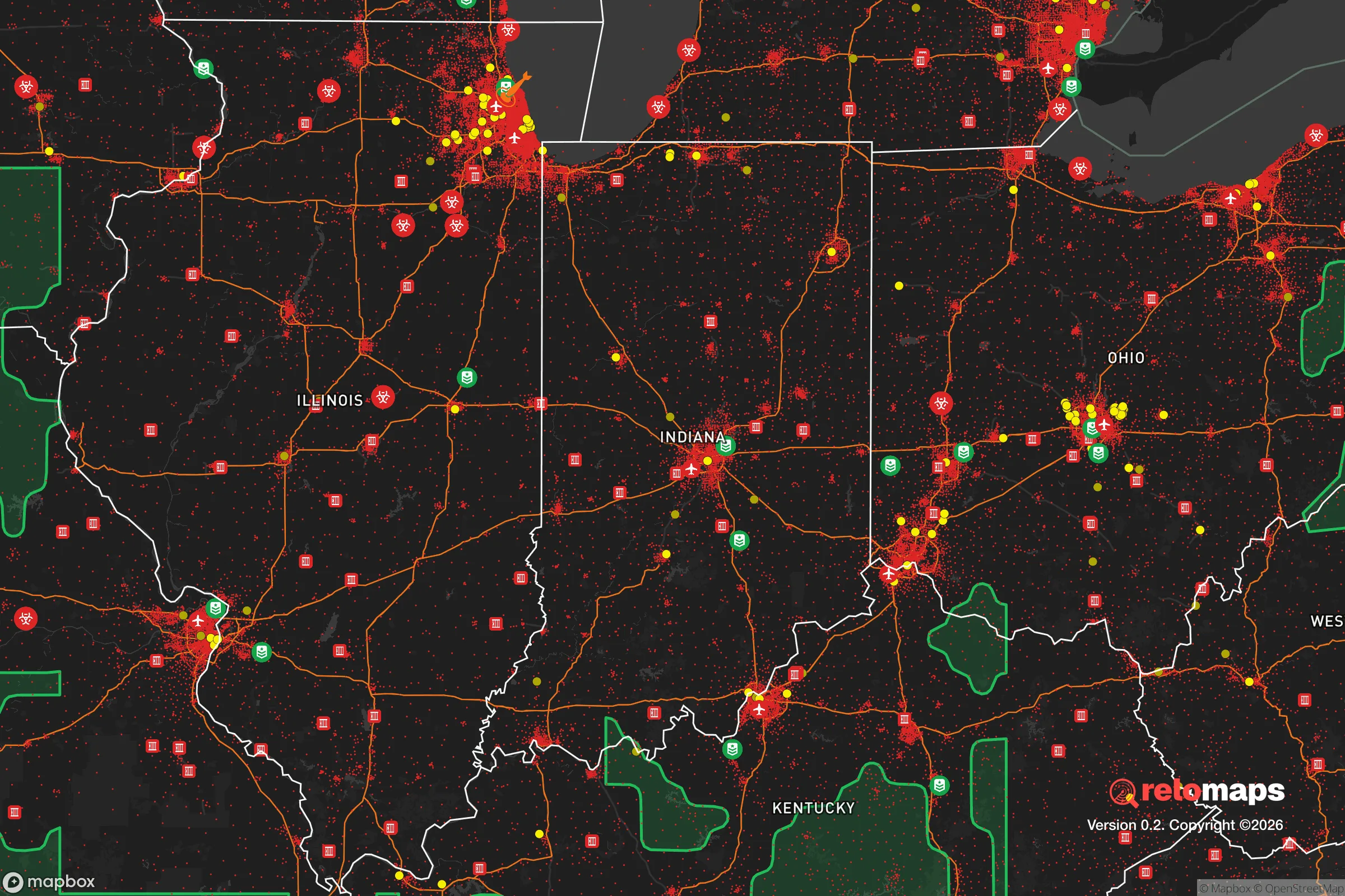
Important Note: For informational purposes only. This does not mean nothing bad ever happens in the green zones. Please use common sense. This is based on public data and modeled with AI. We tried to take a conservative approach but mistakes happen. We update this regularly as new information becomes available.
Solar Generator Recommendations
Backup power matters more here than in safer locations. We've picked three solar generators across budgets and capacity tiers — start with the budget unit if you only need a few essentials, or step up if you want to run a fridge and HVAC for days at a time.

Jackery Portable Power Station Explorer 300
Budget OptionPower on the Go: Weighing only 11 lbs, it's convenient to set up and store with book-sized foldable solar panels

BLUETTI Portable Power Station AC180
Designed for both indoor and outdoor scenarios, AC180 is highly capable as it has a robost capacity and continuous output power.

EF ECOFLOW DELTA Pro Ultra Power Station
Upgraded PickEcoFlow DELTA Pro Ultra is a whole-home energy system designed to grow with your family. Integrated with the Smart Home Panel 2, it scales to meet your evolving energy needs — keeping your home powered, intelligent, and secure through every stage of life.
We earn a commission, at no additional cost to you.
Strategic Assessment Analysis
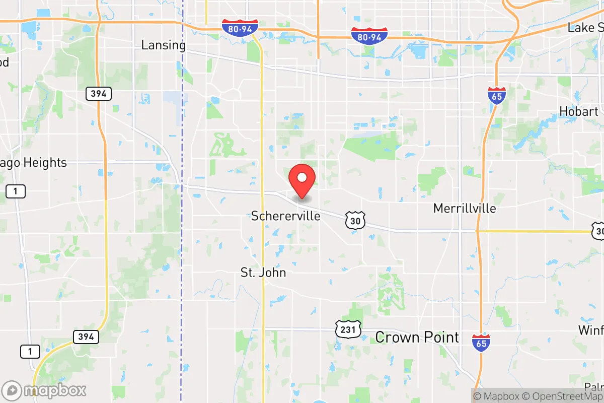
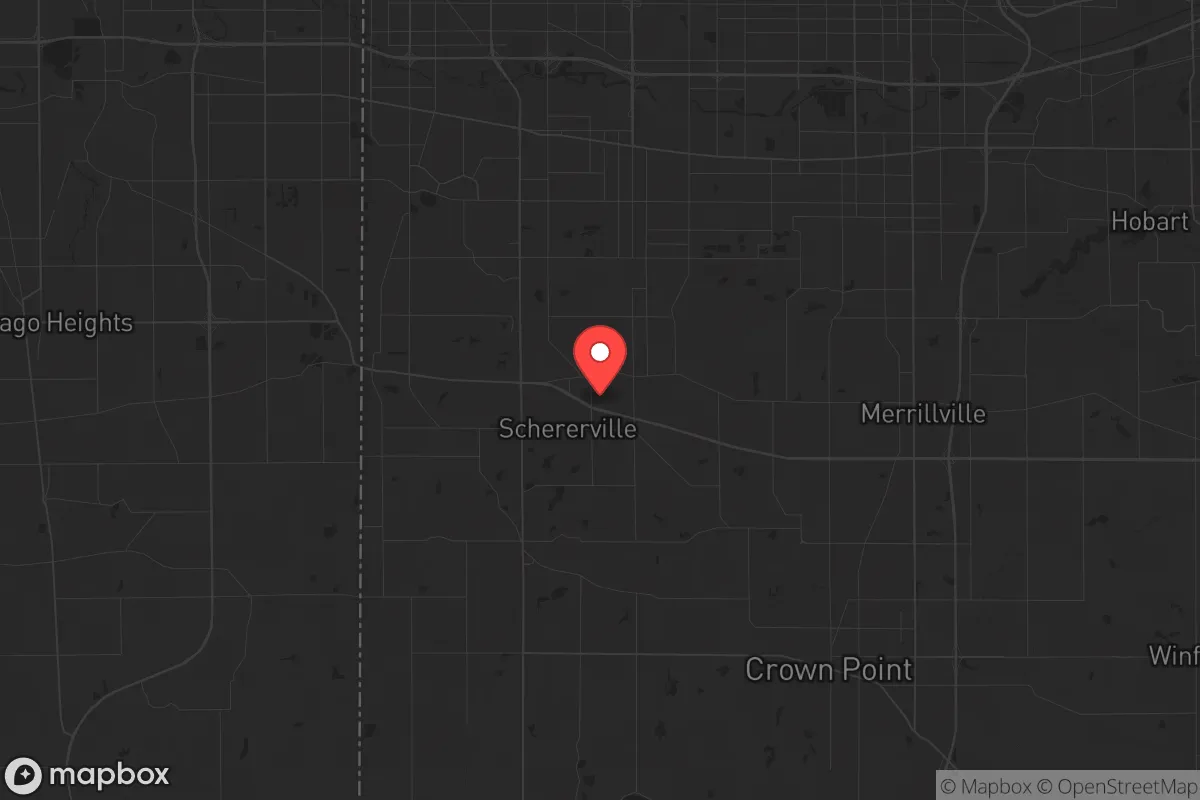
Schererville, Indiana, sits in a precarious but potentially advantageous position for those prioritizing resilience and strategic relocation. Located in Lake County, roughly 30 miles southeast of Chicago, this town of roughly 29,000 offers a buffer from the immediate chaos of a major metropolitan collapse while still providing access to critical supply routes and infrastructure. Its position along the Borman Expressway (I-80/94) and proximity to I-65 make it a natural chokepoint for north-south and east-west movement, but that same connectivity is a double-edged sword in a crisis. For a conservative-leaning prepper, Schererville represents a calculated gamble: close enough to leverage urban resources, far enough to avoid the initial blast radius of societal breakdown, but with vulnerabilities that demand serious contingency planning.
Geographic position and natural advantages for long-term survival
Schererville’s location in the Calumet Region of Northwest Indiana offers a mix of flat, fertile land and access to the Great Lakes watershed, which is a massive strategic asset. The town sits on the Valparaiso Moraine, a glacial ridge that provides slightly higher ground than the surrounding marshlands—a minor but real advantage for drainage and avoiding flood risks from the nearby Little Calumet River. The area’s soil is rich for small-scale agriculture, and the growing season (roughly 150 days) is long enough for staple crops like corn, beans, and squash. The proximity to Lake Michigan, about 10 miles north, means an almost limitless freshwater source, though accessing it during a crisis would require navigating the industrial corridors of Gary and Hammond. The region’s natural gas storage fields—like the one in nearby Lowell—add an energy buffer, but Schererville itself is heavily dependent on the grid. For a relocator, the key natural advantage is water: the lake is a strategic prize, but securing a private well or rainwater catchment system is far more practical for daily resilience.
Risks, exposures, and proximity to fallout-relevant landmarks
The biggest exposure for Schererville is its proximity to Chicago, a Tier 1 target for any major geopolitical or domestic terror event. The city is within the fallout plume zone for a nuclear detonation at the Loop or O’Hare, with prevailing westerly winds pushing contamination directly over Lake County. The nearby BP Whiting Refinery, just 15 miles north, is a high-value target for both state actors and domestic saboteurs—a strike there would cripple fuel supplies for the entire Midwest and create a toxic cloud that could blanket Schererville. The Indiana Harbor and Ship Canal in East Chicago is another critical infrastructure node, handling steel, chemicals, and petroleum products; its destruction would ripple through supply chains for months. On the civil unrest front, Schererville’s position along I-80/94 makes it a natural corridor for refugees fleeing Chicago during a breakdown. The town’s police force is competent but small (roughly 50 officers), and the Lake County Sheriff’s Office would be stretched thin. The 2020 riots in nearby Crown Point and Hammond showed how quickly unrest can spread from the urban core into the suburbs. For a prepper, the risk isn’t just direct attack—it’s being caught in the secondary wave of panic, looting, and resource competition that follows a major event.
Practical resilience for a relocator: food, water, energy, and defensibility
Schererville’s practical resilience is a mixed bag. The town is well-stocked with big-box retailers (Walmart, Meijer, Costco within 10 miles) and grocery chains, but those shelves will empty within 48 hours of a crisis. Local agriculture is limited—most farmland is industrial corn and soy, not diversified smallholdings. A relocator should plan for at least a six-month food supply, with a focus on non-perishables and seeds for a home garden. Water is the bigger concern: municipal water comes from Lake Michigan via the Indiana American Water system, which is vulnerable to both contamination and pump failure. A well is the gold standard, but Schererville’s clay-heavy soil and shallow water table (20-40 feet) make drilling feasible, though permits and testing are required. Energy is a weak point: the grid is fed by coal and natural gas plants in the region, all of which are aging and vulnerable to cyberattack. Solar panels with battery storage are a solid investment, but the area’s cloudy winters (averaging 60% cloud cover from November to February) reduce output. For defensibility, Schererville’s suburban layout—cul-de-sacs, single-family homes with yards, and a few choke points like US-30 and US-41—offers some natural perimeter control. But the town is not a fortress; it’s a bedroom community with open borders. The best strategy is to build a resilient home base with reinforced doors, a safe room, and a clear evacuation route east toward the more rural areas of LaPorte County or west toward the Kankakee River valley.
The overall strategic picture for Schererville is one of calculated risk. It’s not a remote bunker location, nor is it a high-risk urban core. For a conservative relocator who wants to stay within striking distance of Chicago’s resources—medical centers, specialized equipment, trade networks—while maintaining a suburban lifestyle, it’s a viable option. The key is to treat Schererville as a staging ground, not a final redoubt. Have a bug-out plan for the deeper countryside (the Shawnee National Forest in southern Illinois or the Manistee National Forest in Michigan are both within a day’s drive), and build your home’s resilience to at least 90 days of self-sufficiency. The town’s schools are solid, the property taxes are manageable (roughly 1.5% of assessed value), and the community is predominantly conservative-leaning, which can be a social asset in a crisis. But don’t mistake suburban comfort for true security. Schererville is a good place to wait out the first wave of a disaster, but it’s not a place to make a last stand. Plan accordingly, and you’ll have a solid foothold in the Midwest’s strategic corridor.
* Values derived from national, state, county, city and local statistics and may differ in a specific area. Last updated: 2026-04-22T09:57:23.000Z
Narrative content on this page is AI-generated and may contain mistakes. Verify any details that matter before acting on them.
ReloMaps may earn a commission from affiliate links at no extra cost to you.