
Photo: Wikipedia
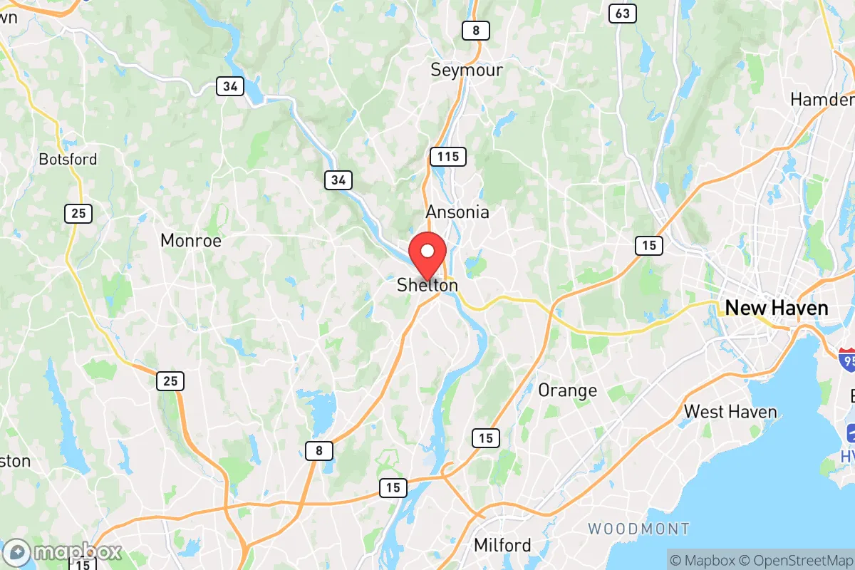
Strategic Assessment of Shelton, CT
Multiple tactical vulnerabilities. Population density, target proximity, or disaster risk are likely compounding. A retreat property and exit planning is required.
What does the Strategic Assessment tell us?
Our Strategic Assessment grades tactical survivability of an area. Major population centers, military targets, fallout zones, natural disasters, and border exposure all drive risk — lower exposure means a more defensible position in a crisis.
This is heavily inspired by Joel Skousen's Strategic Relocation book. Highly recommended you checkout the book ($)What does this tell us?
Our Strategic Assessment grades tactical survivability of an area. Major population centers, military targets, fallout zones, natural disasters, and border exposure all drive risk — lower exposure means a more defensible position in a crisis.
This is heavily inspired by Joel Skousen's Strategic Relocation book. Highly recommended you checkout the book ($)Strategic Pillars

Key Distances
Regional Safe Places
Below is our recommended "safe zones" in Connecticut and the surrounding area based on our strategic heuristics. For most people, it's unrealistic to live in a “safe zone” full-time due to work, family or other personal reasons. They tend to be more rural. However, many of these areas are perfect for second homes and retreat properties that double as a vacation home or even a short-term rental.


Important Note: For informational purposes only. This does not mean nothing bad ever happens in the green zones. Please use common sense. This is based on public data and modeled with AI. We tried to take a conservative approach but mistakes happen. We update this regularly as new information becomes available.
Solar Generator Recommendations
Backup power matters more here than in safer locations. We've picked three solar generators across budgets and capacity tiers — start with the budget unit if you only need a few essentials, or step up if you want to run a fridge and HVAC for days at a time.

Jackery Portable Power Station Explorer 300
Budget OptionPower on the Go: Weighing only 11 lbs, it's convenient to set up and store with book-sized foldable solar panels

BLUETTI Portable Power Station AC180
Designed for both indoor and outdoor scenarios, AC180 is highly capable as it has a robost capacity and continuous output power.

EF ECOFLOW DELTA Pro Ultra Power Station
Upgraded PickEcoFlow DELTA Pro Ultra is a whole-home energy system designed to grow with your family. Integrated with the Smart Home Panel 2, it scales to meet your evolving energy needs — keeping your home powered, intelligent, and secure through every stage of life.
We earn a commission, at no additional cost to you.
Strategic Assessment Analysis
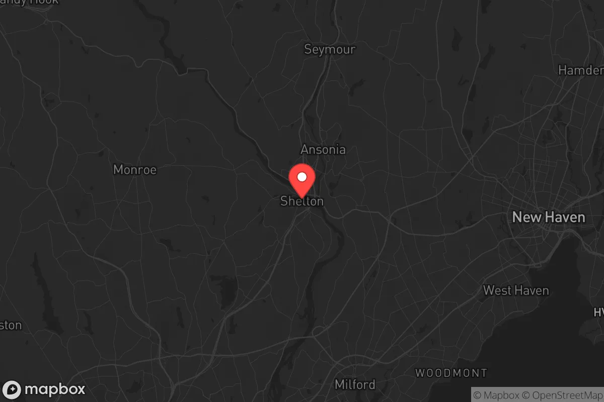
Shelton, Connecticut, offers a surprisingly resilient strategic position for those prioritizing preparedness, combining a lower population density than its immediate neighbors with a location that keeps major urban centers at a manageable distance—close enough to monitor, far enough to avoid the worst of a collapse scenario. Nestled along the Housatonic River and straddling the Fairfield-New Haven county line, this city of roughly 42,000 provides a buffer zone that many preppers overlook in the Northeast corridor. Its industrial history, modern suburban infrastructure, and access to both coastal and inland routes make it a viable base for those who want to stay within striking distance of resources without being trapped in a high-risk urban kill zone.
Geographic position and natural advantages for long-term survival
Shelton’s geography is its primary strategic asset. The city sits on the western bank of the Housatonic River, with the Paugussett State Forest and Indian Well State Park providing a green buffer to the north and east. This wooded terrain offers natural concealment, watershed access, and limited road networks that can be monitored or blocked if needed. The Housatonic itself is a reliable water source, though treatment would be required post-event. The city’s elevation rises quickly from the river valley, with several neighborhoods sitting on ridgelines that provide observation points over the Route 8 corridor and the Naugatuck Valley. For a relocator, this means defensible high ground within a 10-minute drive of suburban amenities. The presence of the Shelton Lakes Recreation Area and the nearby 1,500-acre Paugussett State Forest gives you room to cache supplies, practice fieldcraft, or retreat further inland if coastal areas become compromised. Unlike the flat, exposed terrain of coastal Fairfield County, Shelton’s rolling hills and mixed hardwood forest create natural chokepoints and escape routes.
Risks, exposures, and proximity to fallout-relevant landmarks
No location in the Northeast is free from risk, and Shelton has its share of vulnerabilities that a strategic relocator must account for. The most immediate concern is the city’s proximity to New York City—roughly 60 miles southwest—and the New Haven urban area, just 12 miles east. In a mass casualty event or civil unrest scenario, Shelton sits within the likely exodus zone for populations fleeing those cities. Route 8 and the Merritt Parkway (Route 15) are the primary evacuation arteries, and both would become impassable within hours of a major event. Shelton also lies within 30 miles of the Millstone Nuclear Power Station in Waterford, Connecticut, and the Indian Point decommissioned site in Buchanan, New York, is roughly 45 miles southwest. While Indian Point is no longer operational, the spent fuel storage there remains a target concern. Additionally, the city’s industrial corridor along the Housatonic—home to chemical storage and manufacturing facilities—presents a localized hazard if infrastructure fails. The Bridgeport area, with its port and rail yards, is only 15 miles south and would be a likely flashpoint for looting or resource competition. For the prepper, these risks mean that Shelton is not a bug-out location but a semi-urban base requiring a solid plan for early movement or hardening in place.
Practical resilience for a relocator: food, water, energy, and defensibility
Shelton’s practical resilience is mixed but workable for someone with a prepper mindset. Water is the strongest asset: the Housatonic River is a perennial flow, and the city’s reservoir system (including the Shelton Reservoir and the Far Mill River) provides backup sources. However, municipal water treatment would likely fail in a grid-down scenario, so a Berkey filter or similar gravity system is non-negotiable. The city’s water table is high enough that shallow wells are feasible in the northern, less developed sections. Food security is weaker. Shelton has limited agricultural land—the city is mostly suburban residential with some light industrial zones. The nearest significant farmland is in the lower Naugatuck Valley and Oxford area, about 10-15 minutes west. Community gardens exist but are small. For long-term sustainability, a relocator would need to establish a private garden or partner with rural landowners in neighboring Monroe or Seymour. Energy resilience is decent: the area has above-average tree cover for passive solar and wood heat, and the hilly terrain supports micro-hydro potential on smaller streams. Solar panels are viable, though winter cloud cover reduces output by 40-50% compared to the Southwest. Defensibility is Shelton’s hidden strength. The city’s layout—a mix of cul-de-sacs, dead-end roads, and forested ravines—creates natural perimeter security. The downtown area near the river is a potential chokepoint, but the northern neighborhoods (like Huntington and White Hills) offer rural-style lots with good lines of sight and limited access points. A group of 4-6 prepared individuals could effectively secure a block in those areas with basic fortification and observation posts.
The overall strategic picture for Shelton is that of a calculated compromise. It is not a remote mountain redoubt, nor is it a high-risk urban core. It offers a middle ground: enough infrastructure to maintain a normal life during blue-sky days, but enough natural barriers and water access to ride out a 30- to 90-day disruption. The key for the conservative relocator is to treat Shelton as a forward operating base rather than a final destination. Build relationships with neighbors in the northern sections, cache supplies in the state forest, and have a secondary plan to move west into the Litchfield Hills or north into the Berkshires if the coastal corridor collapses. The city’s industrial tax base and proximity to defense contractors (like Sikorsky in Stratford) also mean that skilled trades and technical jobs remain available even in a downturn—a practical advantage for those who need to maintain income while preparing. Shelton won’t save you from a direct nuclear strike on New York, but for the vast majority of scenarios—civil unrest, supply chain failure, pandemic, or localized disaster—it provides a defensible, resource-rich position that most preppers in the Northeast would be wise to consider.
* Values derived from national, state, county, city and local statistics and may differ in a specific area. Last updated: 2026-04-19T09:30:31.000Z
Narrative content on this page is AI-generated and may contain mistakes. Verify any details that matter before acting on them.
ReloMaps may earn a commission from affiliate links at no extra cost to you.