
Photo: Wikipedia
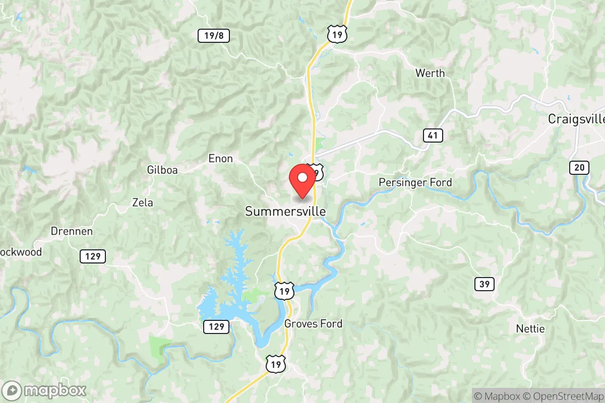
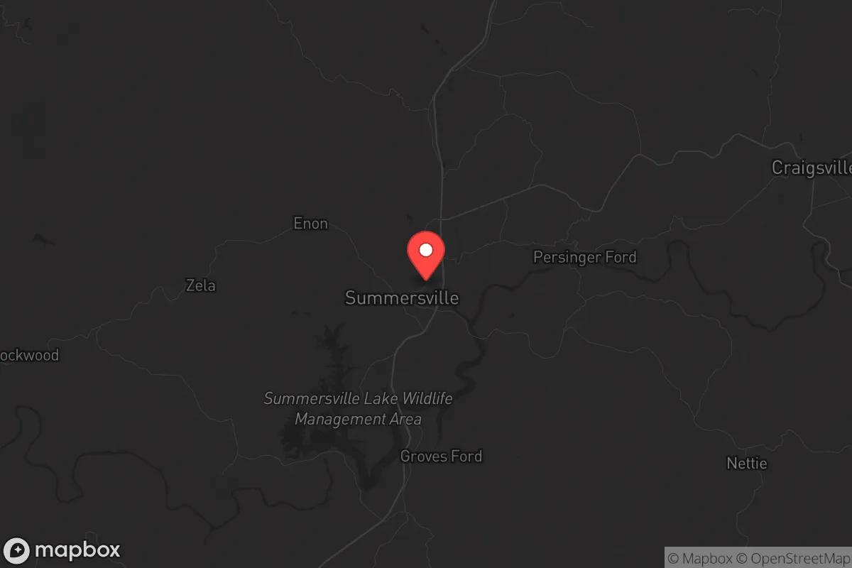
Strategic Assessment of Summersville, WV
Workable tactical position. Some exposure to population density or targets, but generally defensible in a crisis.
What does the Strategic Assessment tell us?
Our Strategic Assessment grades tactical survivability of an area. Major population centers, military targets, fallout zones, natural disasters, and border exposure all drive risk — lower exposure means a more defensible position in a crisis.
This is heavily inspired by Joel Skousen's Strategic Relocation book. Highly recommended you checkout the book ($)What does this tell us?
Our Strategic Assessment grades tactical survivability of an area. Major population centers, military targets, fallout zones, natural disasters, and border exposure all drive risk — lower exposure means a more defensible position in a crisis.
This is heavily inspired by Joel Skousen's Strategic Relocation book. Highly recommended you checkout the book ($)Strategic Pillars

Key Distances
Regional Safe Places
Below is our recommended "safe zones" in West Virginia and the surrounding area based on our strategic heuristics. For most people, it's unrealistic to live in a “safe zone” full-time due to work, family or other personal reasons. They tend to be more rural. However, many of these areas are perfect for second homes and retreat properties that double as a vacation home or even a short-term rental.


Important Note: For informational purposes only. This does not mean nothing bad ever happens in the green zones. Please use common sense. This is based on public data and modeled with AI. We tried to take a conservative approach but mistakes happen. We update this regularly as new information becomes available.
Solar Generator Recommendations
Backup power matters more here than in safer locations. We've picked three solar generators across budgets and capacity tiers — start with the budget unit if you only need a few essentials, or step up if you want to run a fridge and HVAC for days at a time.

Jackery Portable Power Station Explorer 300
Budget OptionPower on the Go: Weighing only 11 lbs, it's convenient to set up and store with book-sized foldable solar panels

BLUETTI Portable Power Station AC180
Designed for both indoor and outdoor scenarios, AC180 is highly capable as it has a robost capacity and continuous output power.

EF ECOFLOW DELTA Pro Ultra Power Station
Upgraded PickEcoFlow DELTA Pro Ultra is a whole-home energy system designed to grow with your family. Integrated with the Smart Home Panel 2, it scales to meet your evolving energy needs — keeping your home powered, intelligent, and secure through every stage of life.
We earn a commission, at no additional cost to you.
Strategic Assessment Analysis
Summersville, West Virginia, offers a compelling strategic position for those prioritizing resilience and self-sufficiency in an uncertain future. Nestled in the Appalachian Plateau of Nicholas County, this town of roughly 3,500 people sits at a deliberate distance from major population centers—about 90 minutes from Charleston and two hours from Roanoke—placing it outside the immediate blast and fallout zones of any high-value target, while still providing access to regional resources. Its location along the Gauley River and near the massive Summersville Lake creates a natural buffer against the chaos of urban collapse, making it a viable hub for a prepper or survivalist household seeking a balance between isolation and logistical practicality.
Geographic position and natural advantages for long-term survival
Summersville’s geography is its primary strategic asset. The town sits in a valley surrounded by the Monongahela National Forest to the east and the Gauley River National Recreation Area to the west, creating a natural defensive perimeter of rugged, forested terrain that would slow any large-scale movement or unrest. The elevation—roughly 1,800 feet—provides a cooler climate and reduces the risk of heat-related crop failure, while the abundant rainfall (averaging 45 inches annually) supports reliable water sources. The Gauley River and Summersville Lake, the largest lake in West Virginia at 2,700 acres, offer a year-round supply of fresh water and fish, critical for a self-reliant household. The surrounding hills are rich in hardwood timber for fuel and construction, and the region’s karst geology means numerous caves and rock shelters could serve as emergency caches or temporary hideouts. For a relocator, this is not just scenic beauty—it’s a survival buffer against supply chain disruptions and grid failure.
Risks, exposures, and proximity to fallout-relevant landmarks
No location is without risk, and Summersville’s primary exposure comes from its relative proximity to the I-79 corridor, which runs 20 miles west and connects to Charleston and Pittsburgh. In a mass casualty event or civil unrest scenario, this highway could become a funnel for displaced populations moving east from the Ohio River Valley, where chemical plants and refineries near Huntington and Charleston are potential industrial accident or sabotage targets. The nearest nuclear facility is the Beaver Valley Power Station in Shippingport, Pennsylvania, about 180 miles north—outside the lethal fallout zone for a worst-case event, but within the range of lighter contamination if prevailing winds shift south. More immediate is the risk from the many coal-fired power plants and chemical storage sites along the Kanawha River, 40 miles west; a coordinated attack or accident there could release toxic plumes that Summersville’s valley geography might trap. The town itself has no major military or government installations, which is a positive—it’s not a target—but the nearby Summersville Dam (a 2,400-foot-long earthen structure) could be a vulnerability if sabotage or seismic activity compromised it, though such an event is low-probability. The key takeaway: Summersville avoids the worst fallout zones of the East Coast, but a relocator must plan for regional industrial hazards and potential refugee flow from the west.
Practical resilience for a relocator: food, water, energy, and defensibility
For a prepper household, Summersville offers strong fundamentals for a self-sufficient lifestyle. Water is abundant and accessible: Summersville Lake and the Gauley River provide surface water, and the area’s high water table means shallow wells are feasible for those with land. The growing season runs about 150 days, suitable for cold-hardy crops like potatoes, kale, and root vegetables, and the surrounding forests are rich in wild game—deer, turkey, and small game—for protein. Local agriculture is limited, but the Nicholas County Farmers Market and nearby Amish communities in Greenbrier County offer seed stock and livestock for those establishing a homestead. Energy resilience is mixed: the grid is rural and prone to outages from winter storms, but the region’s steep creeks and rivers offer micro-hydro potential for those with the know-how, and solar insolation is adequate (about 4.5 peak sun hours per day) for off-grid panels. Defensibility is strong—the town’s layout, with a single main highway (US-19) and narrow valley approaches, means a small group could monitor and control access points. The local population is sparse (about 25 people per square mile in the county), and the culture leans heavily toward self-reliance, firearms ownership, and community mutual aid—traits that align with a survivalist mindset. The Summersville Volunteer Fire Department and a small sheriff’s office provide basic emergency services, but in a collapse scenario, you’re largely on your own, which is exactly the point.
The overall strategic picture for a conservative relocator
Summersville presents a solid, middle-ground option for a strategic relocation: it’s not the deep wilderness of West Virginia’s eastern panhandle, but it’s far enough from the chaos of the I-81 and I-95 corridors to offer genuine buffer. The town’s small size and rural character mean you’ll face limited job opportunities and a slower pace of life—this is not a place for career growth or urban amenities, but for those prioritizing security and preparedness, that’s a feature, not a bug. The political climate in Nicholas County is reliably conservative (Trump won 78% of the vote in 2020), and the local culture respects privacy and property rights, reducing friction for newcomers who keep to themselves. The biggest strategic weakness is the lack of a robust local food supply chain—you’ll need to build your own garden and livestock system from scratch, as grocery stores are limited to a Foodland and a Walmart, both vulnerable to supply disruptions. Summersville’s best use is as a long-term bug-out location or a permanent homestead for a family willing to invest in off-grid infrastructure. It’s not a fortress, but it’s a defensible, resource-rich pocket in a region that history has shown can weather national storms. For a relocator with a survivalist mindset, it’s worth a serious look.
* Values derived from national, state, county, city and local statistics and may differ in a specific area. Last updated: 2026-05-03T20:39:32.000Z
Narrative content on this page is AI-generated and may contain mistakes. Verify any details that matter before acting on them.
ReloMaps may earn a commission from affiliate links at no extra cost to you.