Photo: Wikipedia
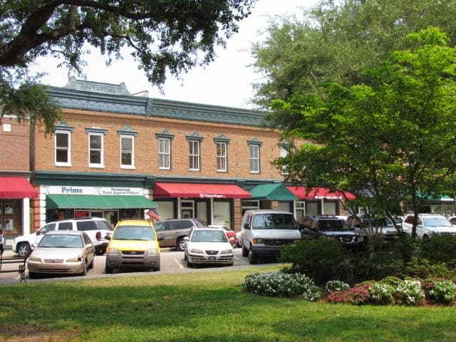
Strategic Assessment of Summerville, SC
Multiple tactical vulnerabilities. Population density, target proximity, or disaster risk are likely compounding. A retreat property and exit planning is required.
What does the Strategic Assessment tell us?
Our Strategic Assessment grades tactical survivability of an area. Major population centers, military targets, fallout zones, natural disasters, and border exposure all drive risk — lower exposure means a more defensible position in a crisis.
This is heavily inspired by Joel Skousen's Strategic Relocation book. Highly recommended you checkout the book ($)What does this tell us?
Our Strategic Assessment grades tactical survivability of an area. Major population centers, military targets, fallout zones, natural disasters, and border exposure all drive risk — lower exposure means a more defensible position in a crisis.
This is heavily inspired by Joel Skousen's Strategic Relocation book. Highly recommended you checkout the book ($)Strategic Pillars

Key Distances
Regional Safe Places
Below is our recommended "safe zones" in South Carolina and the surrounding area based on our strategic heuristics. For most people, it's unrealistic to live in a “safe zone” full-time due to work, family or other personal reasons. They tend to be more rural. However, many of these areas are perfect for second homes and retreat properties that double as a vacation home or even a short-term rental.


Important Note: For informational purposes only. This does not mean nothing bad ever happens in the green zones. Please use common sense. This is based on public data and modeled with AI. We tried to take a conservative approach but mistakes happen. We update this regularly as new information becomes available.
Solar Generator Recommendations
Backup power matters more here than in safer locations. We've picked three solar generators across budgets and capacity tiers — start with the budget unit if you only need a few essentials, or step up if you want to run a fridge and HVAC for days at a time.

Jackery Portable Power Station Explorer 300
Budget OptionPower on the Go: Weighing only 11 lbs, it's convenient to set up and store with book-sized foldable solar panels

BLUETTI Portable Power Station AC180
Designed for both indoor and outdoor scenarios, AC180 is highly capable as it has a robost capacity and continuous output power.

EF ECOFLOW DELTA Pro Ultra Power Station
Upgraded PickEcoFlow DELTA Pro Ultra is a whole-home energy system designed to grow with your family. Integrated with the Smart Home Panel 2, it scales to meet your evolving energy needs — keeping your home powered, intelligent, and secure through every stage of life.
We earn a commission, at no additional cost to you.
Strategic Assessment Analysis
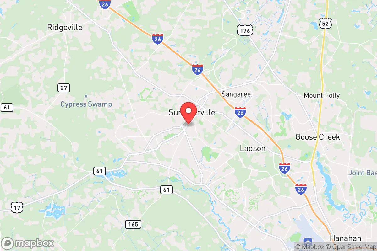
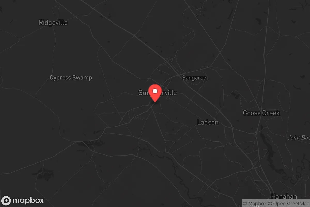
Summerville, South Carolina, offers a strategic balance of proximity to coastal resources and inland buffer, making it a viable relocation option for those prioritizing resilience in an uncertain future. Situated roughly 25 miles from Charleston and 15 miles from the Atlantic, the town sits on the edge of the Lowcountry’s floodplain while remaining far enough from major urban centers to reduce exposure to cascading failures. Its position along Interstate 26 and U.S. Highway 17 provides multiple egress routes, a critical advantage if coastal evacuation becomes necessary. For a prepper or survivalist, Summerville’s location is not a fortress, but it is a defensible middle ground—close enough to access resources, far enough to avoid the worst of urban collapse.
Geographic position and natural advantages for long-term security
Summerville’s geography is defined by its elevation—often called the “Flowertown in the Pines”—sitting on a ridge that rises 75 to 100 feet above sea level, significantly higher than Charleston’s flood-prone downtown. This elevation reduces the risk of storm surge from hurricanes, though heavy rainfall and flash flooding remain concerns in low-lying neighborhoods near the Ashley River. The area is part of the Atlantic Coastal Plain, with sandy, well-drained soils that support pine forests and oak hammocks, offering natural cover and timber for construction or fuel. The nearby Francis Marion National Forest, roughly 30 miles east, provides a vast, sparsely populated buffer zone for hunting, foraging, and retreat if needed. Summerville’s climate is humid subtropical, with mild winters and hot, humid summers—good for year-round gardening but challenging for long-term food storage without proper dehydration or canning. The town’s position along the Cooper River watershed gives access to freshwater sources, though surface water quality requires filtration due to agricultural runoff and development. For a relocator, the key natural advantage is the combination of elevation, forest cover, and multiple water sources, all within a two-hour drive of the Appalachian foothills for deeper retreat options.
Risks, exposures, and proximity to fallout-relevant landmarks
Summerville’s primary risk is its proximity to Charleston, a major port city and military hub. Charleston Air Force Base (Joint Base Charleston) is roughly 20 miles southeast, hosting C-17 transport aircraft and the 437th Airlift Wing—a potential target in a conflict scenario. The Port of Charleston, one of the busiest on the East Coast, handles container shipping and naval logistics, making it a high-value asset for adversaries. In a major disruption, Summerville could face secondary effects: refugees fleeing Charleston, supply chain interruptions, and potential infrastructure strain. The town is also within 50 miles of the Savannah River Site, a nuclear weapons facility and waste storage site near Aiken, SC. While a direct strike on SRS is unlikely, an accident or sabotage could release radioactive material, and prevailing winds from the southwest could carry fallout toward Summerville. Hurricane risk is real but manageable: the area has not taken a direct Category 3+ hit since Hugo in 1989, but storm surge is not a threat here due to elevation. Flooding from heavy rain is the more frequent hazard, with FEMA-designated flood zones along the Ashley River and its tributaries. Earthquake risk is low, but the 1886 Charleston quake (estimated 7.3 magnitude) caused damage as far inland as Summerville, so long-term seismic potential exists. For a prepper, the key takeaway is that Summerville is not a primary target but sits within the fallout shadow of multiple high-value assets—a factor that demands a layered defense plan, including a bug-out location further inland.
Practical resilience for a relocator: food, water, energy, and defensibility
Summerville’s practical resilience depends on how well a relocator can secure basic necessities independent of the grid. Water is the strongest asset: the area’s high water table means shallow wells (30-50 feet) can yield potable water, though testing for iron and tannins is essential. The Edisto River, 20 miles west, is a reliable surface source, but filtration and boiling are mandatory due to agricultural runoff. Food production is viable year-round: the growing season runs from March to November, with staples like sweet potatoes, collards, okra, and beans thriving in sandy soil. Local farmers’ markets and CSAs (e.g., Summerville Farmers Market) offer fresh produce, but reliance on them is fragile in a crisis—better to establish a home garden and learn canning. Energy is a weak point: the grid is served by Dominion Energy, with overhead lines vulnerable to hurricanes and ice storms. Solar is feasible—the area averages 215 sunny days per year—but net metering policies are state-regulated and not as favorable as in the West. A backup generator with propane storage is a practical investment. Defensibility is moderate: Summerville’s suburban layout with cul-de-sacs and tree-lined streets offers natural chokepoints, but the town’s population of roughly 50,000 means density is high enough to attract looters in a collapse. Rural properties on the outskirts (e.g., near Ridgeville or Harleyville) provide better standoff distance. Community is a double-edged sword: the area has a strong church and veteran presence, which can form mutual-aid networks, but also a transient population tied to Charleston’s tourism and military economy. For a relocator, the practical strategy is to secure a property with a well, solar panels, and a defensible perimeter, while building relationships with like-minded neighbors before a crisis hits.
Overall, Summerville presents a mixed strategic picture for the survivalist or prepper. Its elevation, water access, and agricultural potential are genuine advantages, and its distance from Charleston’s core reduces immediate exposure to urban collapse. However, the proximity to military and nuclear infrastructure, combined with hurricane and flooding risks, means it is not a standalone retreat—it is a forward operating base. For a single individual or family willing to invest in off-grid systems and maintain a bug-out location in the Appalachians (e.g., upstate SC or western NC), Summerville offers a livable, low-profile base with decent resources. The conservative-leaning culture, with its emphasis on self-reliance and community, aligns with a prepper mindset, but the area’s growth (population up 20% since 2010) is eroding that edge. The bottom line: Summerville is a solid B+ for resilience—not a bunker, but a place where a prepared relocator can ride out moderate disruptions while keeping options open for a deeper retreat.
* Values derived from national, state, county, city and local statistics and may differ in a specific area. Last updated: 2026-04-30T03:26:00.000Z
Narrative content on this page is AI-generated and may contain mistakes. Verify any details that matter before acting on them.
ReloMaps may earn a commission from affiliate links at no extra cost to you.