Photo: Wikipedia
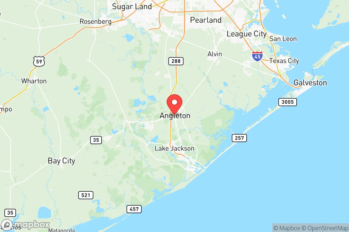
Strategic Assessment of Brazoria County
Multiple tactical vulnerabilities. Population density, target proximity, or disaster risk are likely compounding. A retreat property and exit planning is required.
What does the Strategic Assessment tell us?
Our Strategic Assessment grades tactical survivability of an area. Major population centers, military targets, fallout zones, natural disasters, and border exposure all drive risk — lower exposure means a more defensible position in a crisis.
This is heavily inspired by Joel Skousen's Strategic Relocation book. Highly recommended you checkout the book ($)What does this tell us?
Our Strategic Assessment grades tactical survivability of an area. Major population centers, military targets, fallout zones, natural disasters, and border exposure all drive risk — lower exposure means a more defensible position in a crisis.
This is heavily inspired by Joel Skousen's Strategic Relocation book. Highly recommended you checkout the book ($)Strategic Pillars

Key Distances
Strategic Assessment Analysis
Brazoria County offers a mixed strategic picture for the conservative prepper: it sits far enough from Houston’s urban core to avoid the worst of a collapse scenario, yet close enough to be threatened by the region’s industrial and population density. Its location along the Gulf Coast provides access to maritime trade and water resources, but that same coastline is a vulnerability in a world of rising sea levels, hurricane intensification, and potential port disruptions. For the relocator weighing long-term survivability against economic opportunity, Brazoria County demands a clear-eyed assessment of its natural advantages and its exposure to fallout-relevant risks.
Geographic position and natural advantages for long-term survival
Brazoria County’s geography is a double-edged sword. On the plus side, it sits on the Brazos River, which provides a reliable freshwater source—critical for off-grid living or post-disaster water security. The county’s 1,600 square miles include significant agricultural land, particularly around Angleton and West Columbia, where rice, cotton, and cattle operations dominate. This agricultural base means local food production is a real possibility, not just a theoretical prepper goal. The county also has access to the Gulf Intracoastal Waterway, which could serve as a secondary transport route if highways are compromised. For the relocator, the key advantage is the Brazos River corridor: it offers a natural barrier to the east and a water source that can be tapped with basic filtration. The terrain is mostly flat coastal prairie, which is not ideal for defensive positions but does allow for long sightlines and easy movement on foot or by vehicle. The county’s proximity to the San Bernard National Wildlife Refuge provides a buffer of undeveloped land to the south, reducing the risk of urban sprawl encroachment.
Risks, exposures, and proximity to fallout-relevant landmarks
The downsides are significant and cannot be ignored. Brazoria County is home to the Dow Chemical plant in Freeport, one of the largest chemical manufacturing complexes in the United States. In a mass casualty event or civil unrest scenario, that facility becomes a target—either for sabotage, accidental release, or as a choke point for regional infrastructure. The Port of Freeport is a deepwater port handling petrochemicals, containerized cargo, and bulk goods. A disruption there would ripple through the entire Gulf Coast supply chain. The county also sits directly in the path of hurricane storm surge from the Gulf, with Surfside Beach and Quintana being the most exposed. In a long-term collapse scenario, the Houston Ship Channel—just 30 miles north—is a massive concentration of refineries, chemical plants, and storage tanks. A major event there could release toxic clouds or cause fires that drift south into Brazoria County. The county’s population of roughly 380,000 is concentrated in Pearland (the largest city) and Lake Jackson, both of which are suburban sprawl with limited defensibility. For the prepper, the proximity to Fort Hood (about 200 miles northwest) is less relevant than the immediate threat of the Texas City refinery corridor to the north, which is a prime target for any coordinated attack or industrial accident.
Practical resilience for a relocator: food, water, energy, and defensibility
For the relocator looking to build a resilient homestead, Brazoria County has both assets and liabilities. Water is abundant—the Brazos River and numerous bayous provide surface water, but groundwater is also accessible via wells in most areas. The county’s Brazoria County Groundwater Conservation District regulates well permits, so a prepper would need to secure a legal well before a crisis. Food security is strong: the county is a top producer of rice in Texas, and local farmers markets in Angleton and Clute offer direct access to produce. For energy, the county has significant solar potential (over 200 sunny days per year) and wind resources along the coast, though grid dependence is high. The Brazoria County Electric Cooperative serves rural areas, but in a grid-down scenario, solar panels and battery storage would be essential. Defensibility is the weak point. The flat terrain offers no natural high ground, and the county is crisscrossed by major highways (SH 288, SH 35, and SH 6) that would become evacuation routes or invasion corridors in a crisis. The best defensive positions are the Brazos River bottomlands near Rosharon or the San Bernard River area, where dense brush and water barriers provide some cover. For the single individual or family, a rural property in the southern part of the county—away from Pearland and the industrial Freeport corridor—offers the best balance of resource access and isolation.
The overall strategic picture for Brazoria County is one of calculated risk. It is not a remote bunker location; it is a working landscape with real vulnerabilities tied to Houston’s industrial underbelly. But for the relocator who values proximity to water, food production, and maritime trade routes, and who is willing to invest in off-grid infrastructure and situational awareness, Brazoria County can work. The key is to avoid the population centers and the industrial zones, and to secure a property with well water, solar capability, and a defensible perimeter. In a world where the Gulf Coast is both a resource and a target, Brazoria County offers a middle ground—neither safe haven nor death trap, but a place where preparation and location can tip the scales in your favor.
* Values derived from national, state, county, city and local statistics and may differ in a specific area. Last updated: 2026-05-28T00:46:39.000Z
Narrative content on this page is AI-generated and may contain mistakes. Verify any details that matter before acting on them.
ReloMaps may earn a commission from affiliate links at no extra cost to you.