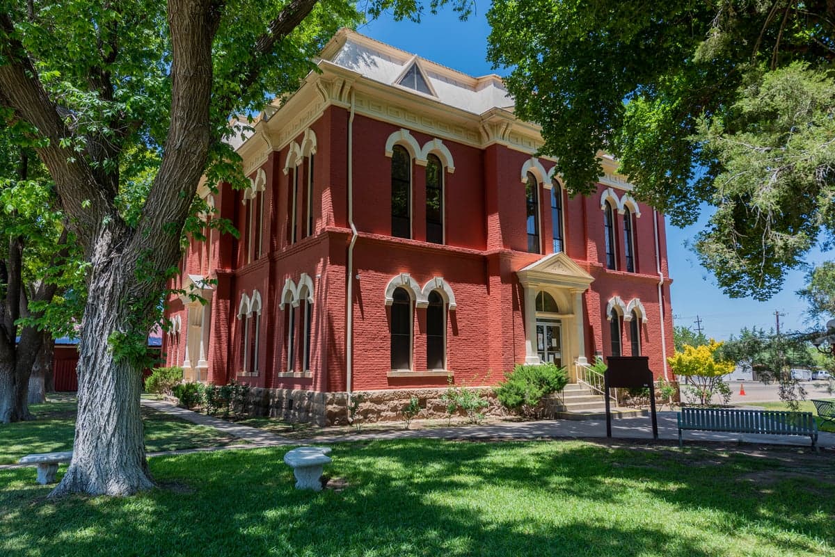
Photo: Wikipedia
Strategic Assessment of Brewster County
Deep buffer from population centers and strategic targets. Low natural disaster risk and minimal exposure to border or coastal threats.
What does the Strategic Assessment tell us?
Our Strategic Assessment grades tactical survivability of an area. Major population centers, military targets, fallout zones, natural disasters, and border exposure all drive risk — lower exposure means a more defensible position in a crisis.
This is heavily inspired by Joel Skousen's Strategic Relocation book. Highly recommended you checkout the book ($)What does this tell us?
Our Strategic Assessment grades tactical survivability of an area. Major population centers, military targets, fallout zones, natural disasters, and border exposure all drive risk — lower exposure means a more defensible position in a crisis.
This is heavily inspired by Joel Skousen's Strategic Relocation book. Highly recommended you checkout the book ($)Strategic Pillars

Key Distances
Strategic Assessment Analysis
Brewster County offers one of the most resilient relocation options in the continental United States for those prioritizing disaster readiness and self-sufficiency. Its extreme remoteness—the county spans over 6,000 square miles yet holds fewer than 10,000 residents—combined with its position far from major population centers, industrial corridors, and military installations makes it a natural buffer against both man-made and cascading natural risks. The county seat of Alpine sits roughly 200 miles from the nearest major city (El Paso) and over 300 miles from the Houston refinery corridor, placing it well outside the primary fallout and disruption zones that concern serious preparedness-minded relocators.
Geographic position and natural advantages for long-term security
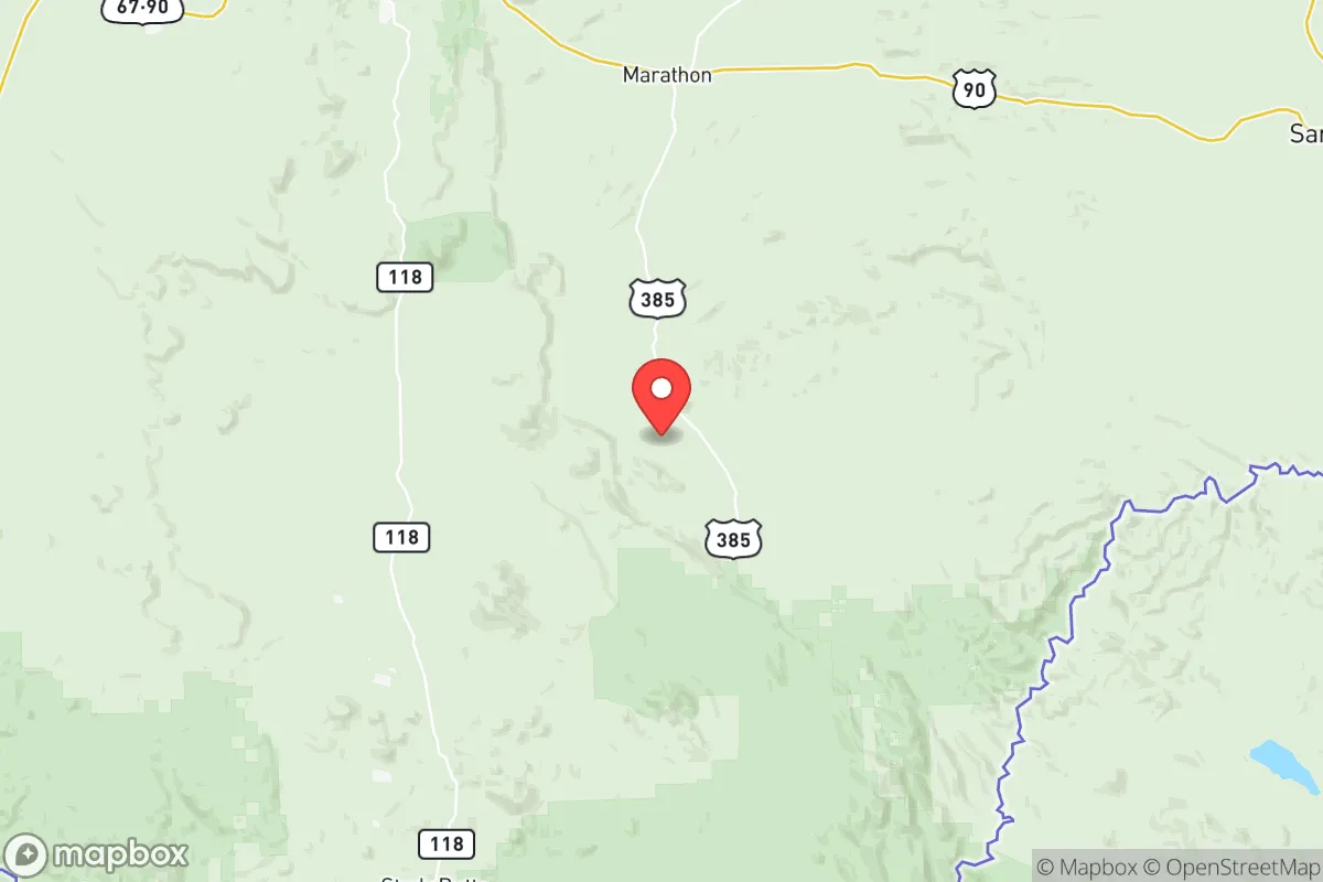
Brewster County occupies the southwestern corner of Texas, bordered by the Rio Grande to the south and the rugged Davis Mountains to the north. This geography provides multiple layers of strategic advantage. The county's vast size and low population density mean that even in a regional crisis, competition for resources remains minimal. The town of Marathon sits at the northern edge, acting as a gateway to the high desert, while Terlingua and Lajitas anchor the southern end near the river. The entire area is ringed by protected lands—Big Bend National Park and Big Bend Ranch State Park cover over 1,200 square miles of the county—creating a natural buffer zone that is both uninhabited and difficult to traverse without local knowledge. Elevation ranges from 1,800 feet along the Rio Grande to over 7,000 feet in the Davis Mountains, offering varied microclimates and reducing the risk of uniform crop failure or wildfire spread. The region's arid climate also means fewer vector-borne diseases and less mold-related infrastructure decay compared to humid zones.
Risks, exposures, and proximity to fallout-relevant landmarks
Brewster County's primary risk exposure is natural rather than man-made. The area lies in a seismically stable region, with no active fault lines and negligible earthquake risk. Wildfire is a seasonal concern, particularly in the grasslands and brushlands east of Alpine, but the low fuel load and sparse population limit catastrophic spread. Flash flooding occurs in arroyos during monsoon season, but these events are localized and predictable. The county is not in a hurricane zone, nor does it face significant tornado risk—the nearest tornado alley is over 300 miles east. From a man-made perspective, Brewster County is one of the safest locations in Texas. There are no nuclear power plants, major refineries, chemical storage facilities, or military bases within the county. The nearest significant military installation is Fort Bliss near El Paso, roughly 180 miles northwest—well outside any plausible immediate fallout zone. The closest refinery corridor is the Permian Basin oil fields to the northeast, but those are extraction sites, not refining complexes; the nearest major refinery is in El Paso or the Gulf Coast, both distant. The border with Mexico presents a low-level security concern, but the remote crossing at Boquillas is lightly trafficked and monitored by Border Patrol. Overall, the county's risk profile is dominated by drought and heat, not by human-caused catastrophes.
Practical resilience for a relocator: food, water, energy, and defensibility
Water is the critical limiting factor in Brewster County. The Rio Grande provides a surface water source, but it is heavily allocated and subject to treaty agreements with Mexico. Most residents rely on groundwater from the Edwards-Trinity Plateau aquifer, which is reliable but requires deep wells (often 200–400 feet). Rainwater harvesting is feasible given the arid climate—average annual rainfall is only 12–15 inches—but storage must be sized for extended dry periods. For a relocator serious about self-sufficiency, securing a property with a permitted well and a large cistern system is essential. Food production is possible but challenging. The growing season is long (over 200 frost-free days), but soil is thin and alkaline. Raised beds, greenhouses, and drip irrigation are standard. Local agriculture is limited to small-scale livestock (goats, cattle) and desert-adapted crops like pecans and pomegranates. The county has no commercial grain elevators or large-scale food processing, so a relocator must plan for long-term storage or regular supply runs to Alpine or Marathon, which have basic grocery stores. Energy resilience is strong. Solar insolation is among the highest in the nation—over 6.0 kWh/m²/day—making off-grid photovoltaic systems highly effective. Wind resources are moderate, but micro-hydro is possible in the mountains. The county's electric grid is served by the Rio Grande Electric Cooperative, which has a history of reliability but is not hardened against EMP; a backup solar-plus-battery system is a wise investment. Defensibility is excellent. The terrain is open but offers numerous natural chokepoints: canyons, river crossings, and mountain passes. The low population density means that any unfamiliar movement is easily observed. The county has a strong tradition of self-reliance and a culture of mutual aid among ranchers and rural residents. Law enforcement presence is minimal—the Brewster County Sheriff's Office has fewer than 20 deputies for the entire county—so community security is largely informal and based on neighbor networks.
Overall, Brewster County presents a compelling strategic picture for the disaster-ready relocator. Its combination of extreme remoteness, low population, absence of high-value targets, and abundant solar energy makes it one of the most defensible and resilient locations in Texas. The trade-offs are real: water scarcity, limited local food production, and long distances to medical care and supplies. But for someone willing to invest in well-drilling, rainwater catchment, and off-grid energy, the county offers a level of security that few other places in the lower 48 can match. It is not a location for those who need urban amenities or frequent resupply, but for the prepared individual or family, Brewster County is a strong candidate for a long-term strategic relocation.

* Values derived from national, state, county, city and local statistics and may differ in a specific area. Last updated: 2026-10-10T09:59:44.000Z
Narrative content on this page is AI-generated and may contain mistakes. Verify any details that matter before acting on them.
ReloMaps may earn a commission from affiliate links at no extra cost to you.

