
Photo: Wikipedia
Demographics of The Dalles, OR
Affluence Level in The Dalles, OR
A middle-class area roughly in line with national averages across income, home values, education, and employment.
People of The Dalles, OR
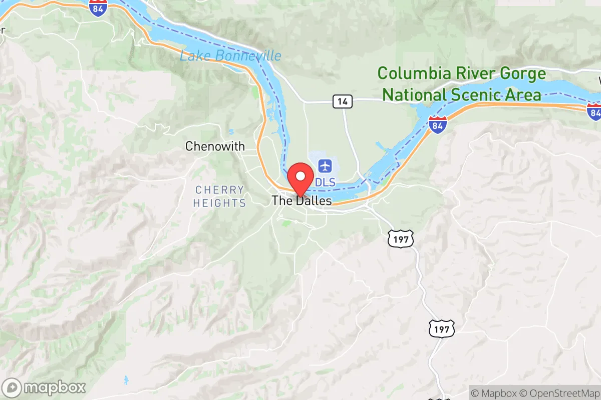
The Dalles, Oregon, is a city of roughly 15,973 residents where the population is overwhelmingly white (71.9%) but with a substantial and growing Hispanic community (21.7%), giving it a distinctive bicultural character rare in the Columbia Gorge. The city’s identity is shaped by its history as a river crossing, railroad hub, and agricultural center, with a population density of about 1,200 people per square mile that feels neither crowded nor sparse. Foreign-born residents make up 6.6% of the population, and the college-educated share sits at 22.3%, reflecting a working-class and trade-oriented workforce. The people here are rooted in generations of family history, with newer arrivals—mostly Hispanic families—settling alongside long-established white residents in distinct neighborhoods.
How the city was settled and grew
The Dalles was originally a gathering place for Native American tribes, particularly the Wasco and Wishram peoples, who fished at Celilo Falls—a major trading hub until the falls were submerged by The Dalles Dam in 1957. White settlement began in earnest after the Oregon Trail reached the area in the 1840s, with the U.S. Army establishing Fort Dalles in 1850 to protect settlers. The city was officially platted in 1854, and its early population was drawn by river commerce, the 1860s gold rushes in eastern Oregon, and the arrival of the Oregon Railway & Navigation Company in the 1880s. The original white settlers—mostly Anglo-American farmers, merchants, and railroad workers—built homes in the Historic Downtown district, where many Victorian-era houses still stand, and in the Eastside neighborhood, which grew around the rail yards and warehouses. A smaller wave of Chinese laborers, who helped build the railroad, settled in a now-vanished Chinatown near Second Street, but most left after the 1882 Chinese Exclusion Act. By 1900, the population was nearly all white, with a small number of Black families working as porters and laborers, concentrated in the Westside area near the riverfront.
Modern era (post-1965)
After the 1965 Hart-Cellar Act opened immigration from Latin America, the first Hispanic families arrived to work in the region’s orchards, wheat fields, and fruit-packing plants. This wave accelerated in the 1980s and 1990s as agricultural operations expanded, and today the Hispanic share of the population stands at 21.7%, up from roughly 5% in 1980. Most Hispanic residents live in the South Hill neighborhood, a working-class area south of Interstate 84 where many homes were built in the 1970s and 1980s, and in the Chenowith area, a census-designated place just west of the city limits that has become a hub for farmworker families. The white population, meanwhile, has aged and suburbanized, with many long-term residents moving to the Dry Hollow neighborhood, a newer subdivision on the city’s north side with larger lots and newer homes. The Asian population remains tiny at 0.5%, primarily East/Southeast Asian families (Chinese, Vietnamese, Filipino) who work in healthcare and retail, with no distinct ethnic enclave. The Indian-subcontinent population is effectively zero (0.0%). The Black population is also negligible at 0.5%, with no historic neighborhood concentration. Domestic in-migration since 2000 has been modest, mostly retirees and remote workers from Portland (85 miles west) drawn by lower housing costs, settling in Dry Hollow and the Westside near the river.
The future
The population is heading toward a more Hispanic-majority future, driven by higher birth rates among Hispanic families and continued immigration from Mexico and Central America for agricultural work. The white population is aging and declining slightly, as younger white residents often leave for college or jobs in Portland or Bend. The Hispanic community is not tribalizing into a separate enclave but is gradually integrating into the broader city, with children attending the same schools and many second-generation families moving into Dry Hollow and other previously white neighborhoods. The Asian and Black populations are likely to remain very small, as the city lacks the industrial or professional job base to attract significant numbers. The foreign-born share (6.6%) is stable, as new arrivals are offset by assimilation and out-migration. Over the next 10-20 years, The Dalles will likely become a city where Hispanic residents approach 30-35% of the population, while the white share drops to around 60%, creating a more bicultural but still predominantly white community.
For someone moving in now, The Dalles is becoming a place where two distinct population groups—longtime white families and newer Hispanic families—are slowly blending, with no sharp ethnic divisions but clear socioeconomic differences. The city remains affordable, family-oriented, and tied to agriculture and the Columbia River economy, with a conservative-leaning political culture that reflects its working-class roots. New residents, especially those from outside the region, will find a community that values stability and tradition, with a growing Hispanic influence that is reshaping schools, churches, and local businesses.
* Values derived from national, state, county, city and local statistics and may differ in a specific area. Last updated: 2026-04-20T19:12:14.000Z
Narrative content on this page is AI-generated and may contain mistakes. Verify any details that matter before acting on them.
ReloMaps may earn a commission from affiliate links at no extra cost to you.