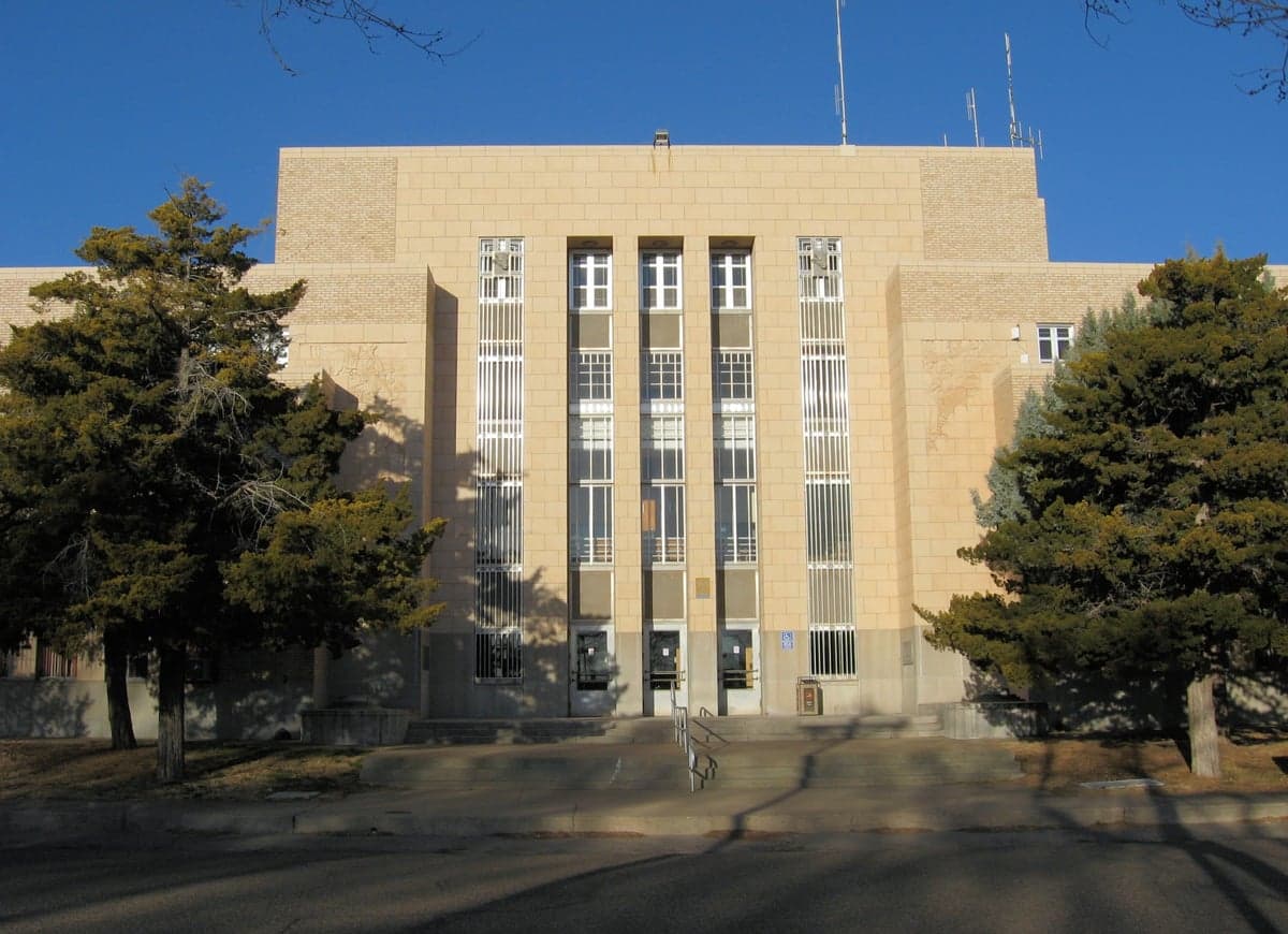
Photo: Wikipedia
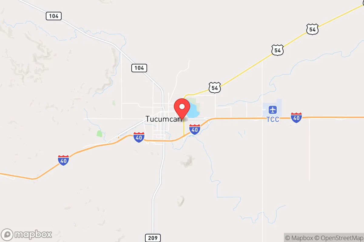
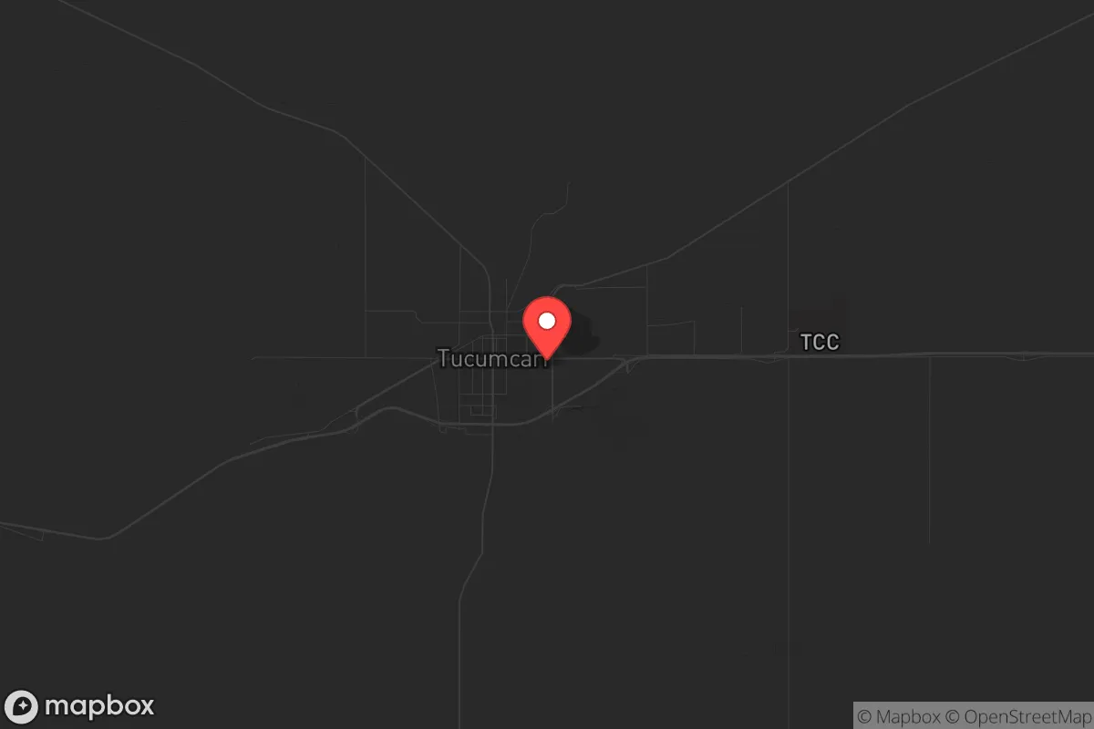
Strategic Assessment of Tucumcari, NM
Strong survivability profile. Good buffer from population centers, with manageable environmental and tactical risks.
What does the Strategic Assessment tell us?
Our Strategic Assessment grades tactical survivability of an area. Major population centers, military targets, fallout zones, natural disasters, and border exposure all drive risk — lower exposure means a more defensible position in a crisis.
This is heavily inspired by Joel Skousen's Strategic Relocation book. Highly recommended you checkout the book ($)What does this tell us?
Our Strategic Assessment grades tactical survivability of an area. Major population centers, military targets, fallout zones, natural disasters, and border exposure all drive risk — lower exposure means a more defensible position in a crisis.
This is heavily inspired by Joel Skousen's Strategic Relocation book. Highly recommended you checkout the book ($)Strategic Pillars

Key Distances
Regional Safe Places
Below is our recommended "safe zones" in New Mexico and the surrounding area based on our strategic heuristics. For most people, it's unrealistic to live in a “safe zone” full-time due to work, family or other personal reasons. They tend to be more rural. However, many of these areas are perfect for second homes and retreat properties that double as a vacation home or even a short-term rental.

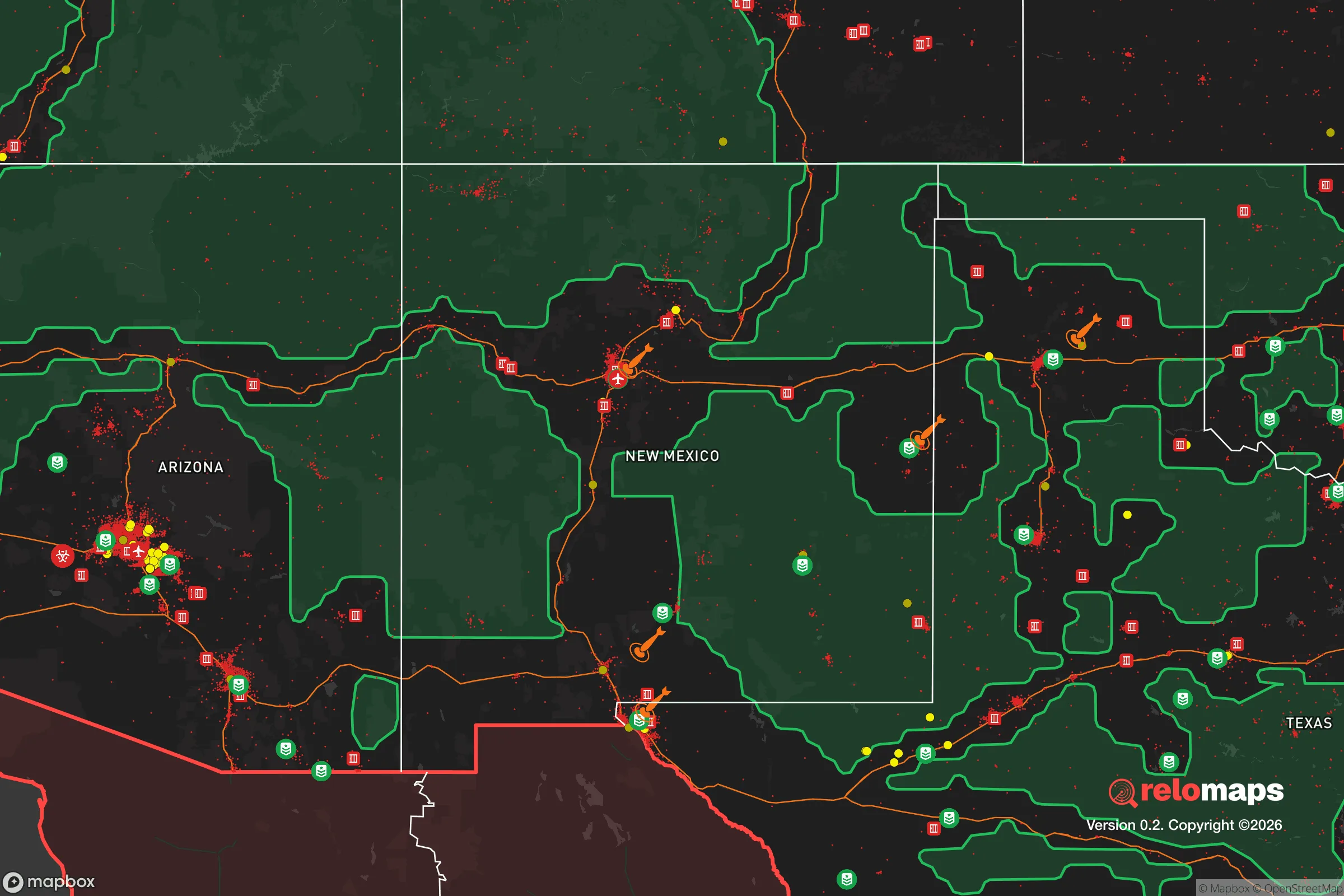
Important Note: For informational purposes only. This does not mean nothing bad ever happens in the green zones. Please use common sense. This is based on public data and modeled with AI. We tried to take a conservative approach but mistakes happen. We update this regularly as new information becomes available.
Solar Generator Recommendations
Backup power matters more here than in safer locations. We've picked three solar generators across budgets and capacity tiers — start with the budget unit if you only need a few essentials, or step up if you want to run a fridge and HVAC for days at a time.

Jackery Portable Power Station Explorer 300
Budget OptionPower on the Go: Weighing only 11 lbs, it's convenient to set up and store with book-sized foldable solar panels

BLUETTI Portable Power Station AC180
Designed for both indoor and outdoor scenarios, AC180 is highly capable as it has a robost capacity and continuous output power.

EF ECOFLOW DELTA Pro Ultra Power Station
Upgraded PickEcoFlow DELTA Pro Ultra is a whole-home energy system designed to grow with your family. Integrated with the Smart Home Panel 2, it scales to meet your evolving energy needs — keeping your home powered, intelligent, and secure through every stage of life.
We earn a commission, at no additional cost to you.
Strategic Assessment Analysis
Tucumcari, New Mexico, sits as a strategic outlier in the American Southwest—a town that has seen better economic days but offers a hard-to-find combination of isolation, defensible geography, and access to critical infrastructure. For a relocator thinking in terms of resilience, this is not a place of comfort or convenience; it is a place of position. Located along the historic U.S. Route 66 and Interstate 40, Tucumcari is roughly 170 miles east of Albuquerque and 110 miles west of Amarillo, Texas. That distance from major population centers is a feature, not a bug, in a world where civic unrest and mass casualty events increasingly originate in dense urban cores. The town’s population hovers around 5,000, and its economy has long relied on transportation, agriculture, and a fading tourism trade—meaning land is cheap, neighbors are few, and the local culture still values self-reliance over government dependency.
Geographic position and natural advantages for long-term survival
Tucumcari sits at the edge of the Llano Estacado, a vast high plains region that offers flat, open terrain with good visibility—a natural advantage for anyone concerned with perimeter awareness. The area receives about 15 inches of rain annually, which is arid but not desert; with proper water catchment and storage, a household can sustain itself. The nearby Canadian River valley provides a riparian corridor that supports wildlife and offers a secondary water source, though it’s not a reliable year-round stream. The elevation of roughly 4,000 feet means summers are hot but dry, and winters are cold but manageable—no extreme weather events like hurricanes or tornadoes that plague the Midwest. The region’s low population density (about 5 people per square mile in Quay County) means that in a collapse scenario, you’re not competing with millions for resources. The nearest major military installation is Cannon Air Force Base in Clovis, about 90 miles south, which is close enough to provide a potential security buffer but far enough to avoid being in a direct target zone.
Risks, exposures, and proximity to fallout-relevant landmarks
The biggest risk for Tucumcari is its proximity to Interstate 40, a major east-west corridor that could become a chokepoint or a target during civil unrest. In a mass evacuation scenario, I-40 would be clogged with refugees from Albuquerque and Amarillo, and Tucumcari sits right on that line. The town itself has no major industrial or military targets, which is a plus, but the nearby WIPP (Waste Isolation Pilot Plant) near Carlsbad, about 200 miles south, is a nuclear waste repository that could become a secondary concern if a major event occurs. More immediately, the area is prone to drought and wildfires, which can strain local water supplies and create health hazards from smoke. The local power grid is tied to the larger Southwest grid, meaning a cyberattack or EMP event could knock out electricity for weeks. There are no major hospitals within 100 miles—the closest trauma center is in Amarillo—so medical resilience requires serious planning. The town’s water comes from the Ogallala Aquifer, which is being depleted at an unsustainable rate; long-term, this is a vulnerability that preppers must account for with rainwater harvesting and well drilling.
Practical resilience for a relocator: food, water, energy, and defensibility
For a single individual or a family looking to establish a resilient homestead, Tucumcari offers several concrete advantages. Land is cheap—you can buy a few acres with a small house for under $100,000, and raw land runs as low as $1,000 per acre. The growing season is about 180 days, long enough for warm-season crops like corn, beans, squash, and peppers, though irrigation is essential. Local farmers raise cattle and hay, so there’s a network of agricultural knowledge and supply chains for livestock if you choose to go that route. Water is the critical factor: the Ogallala Aquifer is deep (200-400 feet) and expensive to drill, but once you have a well, you have a reliable source. Solar power is viable here—the area gets over 280 sunny days per year—so off-grid energy is achievable with a modest investment in panels and battery storage. Defensibility is decent: the flat terrain means you can see threats from miles away, but it also means you have limited natural cover. A rural property with a good fence, a few dogs, and a clear line of sight to the road is about as good as it gets in this part of the country. The local culture is conservative, gun-friendly, and suspicious of outsiders, which means you’ll need to build trust slowly, but once you’re accepted, neighbors will watch your back.
The overall strategic picture for Tucumcari is one of trade-offs. It is not a paradise—it’s a dusty, struggling town with limited services, a declining tax base, and a climate that demands hard work. But for a relocator who values isolation, low cost of entry, and a position far from the chaos of coastal cities and nuclear targets, it offers a solid foundation. The key is to arrive with a plan: secure water first, then energy, then food production. Build relationships with local ranchers and farmers, not just for supplies but for intelligence on regional threats. Keep a low profile—this is not a place to flaunt wealth or political opinions. If the country continues its trajectory toward fragmentation and unrest, Tucumcari sits far enough off the main stage to be overlooked, but close enough to critical infrastructure (I-40, the rail line, the aquifer) to remain viable. It’s a bet on the margins, but for those willing to work the land and keep their heads down, it’s a bet that could pay off when the cities burn.
* Values derived from national, state, county, city and local statistics and may differ in a specific area. Last updated: 2026-05-01T09:57:57.000Z
Narrative content on this page is AI-generated and may contain mistakes. Verify any details that matter before acting on them.
ReloMaps may earn a commission from affiliate links at no extra cost to you.