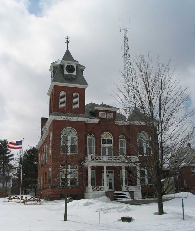
Photo: Wikipedia
Strategic Assessment of Lamoille County
Workable tactical position. Some exposure to population density or targets, but generally defensible in a crisis.
What does the Strategic Assessment tell us?
Our Strategic Assessment grades tactical survivability of an area. Major population centers, military targets, fallout zones, natural disasters, and border exposure all drive risk — lower exposure means a more defensible position in a crisis.
This is heavily inspired by Joel Skousen's Strategic Relocation book. Highly recommended you checkout the book ($)What does this tell us?
Our Strategic Assessment grades tactical survivability of an area. Major population centers, military targets, fallout zones, natural disasters, and border exposure all drive risk — lower exposure means a more defensible position in a crisis.
This is heavily inspired by Joel Skousen's Strategic Relocation book. Highly recommended you checkout the book ($)Strategic Pillars

Key Distances
Strategic Assessment Analysis
Lamoille County, Vermont, offers a compelling strategic profile for relocators prioritizing disaster readiness and self-sufficiency, balancing genuine geographic advantages with real, calculable risks. Nestled in the Green Mountains, the county provides a natural buffer from coastal storm surges and the concentrated fallout dangers of major metropolitan corridors, yet its position relative to regional infrastructure and population centers demands a clear-eyed assessment. For the single individual or family weighing long-term resilience, Lamoille County presents a mix of defensible terrain and practical challenges that reward careful planning.
Geographic position and natural advantages for self-sufficiency
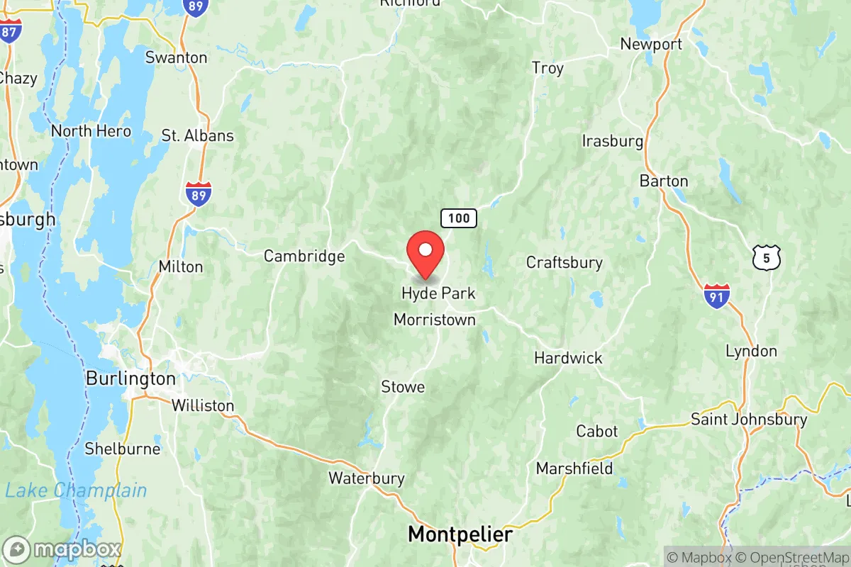
Lamoille County’s location in north-central Vermont is its primary strategic asset. The county is anchored by the town of Morrisville, the largest population center, and includes the villages of Stowe, Hyde Park, Johnson, and Cambridge. The terrain is dominated by the Green Mountain range, with elevations that create natural chokepoints and limit large-scale access. This topography is a double-edged sword: it provides excellent defensibility and isolation from major east-coast corridors, but also complicates transportation and supply routes. The county sits roughly 45 miles from the Canadian border, offering a potential secondary relocation corridor, and is approximately 100 miles from the Boston metropolitan area—close enough for supply runs but far enough to avoid the worst of a coastal event. The Lamoille River watershed provides abundant surface water, and the region’s agricultural history means arable valley land exists, particularly around Jeffersonville and Waterville. The county’s forest cover exceeds 80%, offering timber for fuel and construction, and the climate, while harsh in winter, supports cold-weather crops and livestock with proper infrastructure.
Risks, exposures, and proximity to fallout-relevant landmarks
No location is without exposure, and Lamoille County’s risks are tied to its regional context. The most significant man-made threat is the Vermont Yankee Nuclear Power Plant in Vernon, roughly 120 miles south—outside the immediate fallout zone but within a plausible emergency planning radius. More proximate is the Burlington International Airport and the IBM / GlobalFoundries semiconductor facility in Essex Junction, about 30 miles west, which represent both an economic asset and a potential target for cyber or physical disruption. The county is also within 150 miles of the Port of Montreal, a major shipping hub that could become a chokepoint in a supply chain crisis. Natural risks include severe winter storms that can isolate communities for days, and the potential for ice jams on the Lamoille River causing localized flooding in low-lying areas of Morrisville and Hyde Park. The region is seismically stable, with no significant earthquake or wildfire risk. The primary exposure for a relocator is not a single catastrophic event but the cumulative effect of supply chain disruptions—the county’s reliance on trucked-in goods for everything from fuel to medical supplies is a vulnerability that requires personal stockpiling and community networking to mitigate.
Practical resilience for a relocator: food, water, energy, and defensibility
For the self-sufficiency-minded relocator, Lamoille County offers a mixed but workable baseline. Water access is excellent: the Lamoille River and its tributaries, along with numerous smaller streams and ponds, provide surface water for treatment or diversion. Groundwater is generally accessible via wells, though depth varies by elevation. The county’s agricultural sector, while small, includes working farms in the Cambridge and Johnson areas that produce dairy, vegetables, and maple syrup—a local food network that can be tapped through CSAs and co-ops. Energy resilience is the weakest link: the region is heavily dependent on the grid, with limited natural gas infrastructure and a reliance on heating oil and propane for winter warmth. Solar potential is moderate due to winter cloud cover and tree canopy, but off-grid solar with battery storage is feasible for a well-sited property. Wood heat is the most reliable backup, and properties with established woodlots or access to public forestland have a significant advantage. Defensibility is high due to the terrain: the county’s road network is limited, with only a few major routes (VT-15, VT-100, VT-108) providing access, and these can be monitored or blocked if necessary. However, this also means that egress during a crisis is constrained, and relocators should plan for extended self-reliance rather than rapid evacuation. The county’s population density is low—roughly 26 people per square mile—which reduces social friction but also means fewer skilled tradespeople and medical resources per capita. Building a local network before a crisis is essential.
The strategic picture for Lamoille County is one of qualified opportunity. It offers genuine geographic buffers from the most acute fallout dangers of the Northeast Corridor, abundant natural resources for water and heating, and terrain that favors the prepared individual. The trade-offs are real: a harsh winter climate that tests infrastructure, dependence on external supply chains for many goods, and a location that, while isolated, is not immune to regional disruptions. For the relocator who is willing to invest in off-grid energy, develop local relationships, and maintain a year-round stockpile, Lamoille County represents a defensible, sustainable base. It is not a bug-out location for the unprepared, but a long-term home for those who treat resilience as a continuous practice rather than a one-time purchase.

* Values derived from national, state, county, city and local statistics and may differ in a specific area. Last updated: 2026-08-23T21:30:52.000Z
Narrative content on this page is AI-generated and may contain mistakes. Verify any details that matter before acting on them.
ReloMaps may earn a commission from affiliate links at no extra cost to you.

