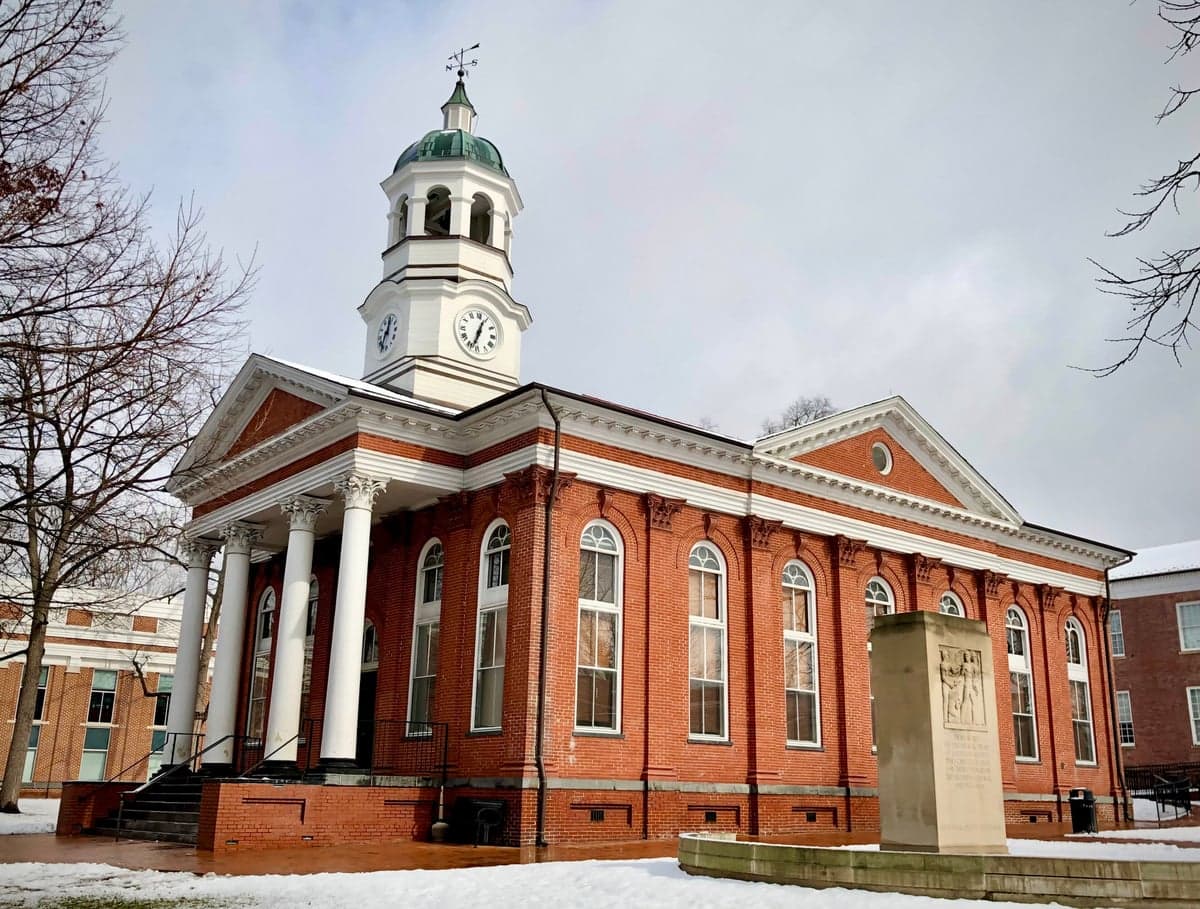
Photo: Wikipedia
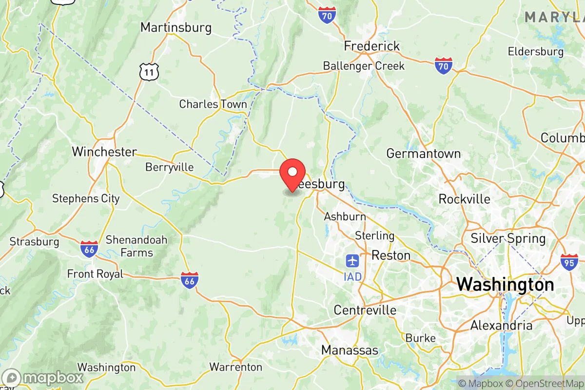
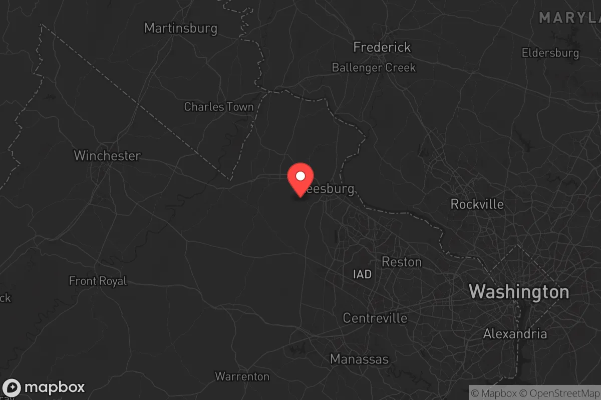
Strategic Assessment of Loudoun County
Meaningful friction. Expect exposure to either population pressure, blast zones, or natural disaster risk. Consider buying a retreat property.
What does the Strategic Assessment tell us?
Our Strategic Assessment grades tactical survivability of an area. Major population centers, military targets, fallout zones, natural disasters, and border exposure all drive risk — lower exposure means a more defensible position in a crisis.
This is heavily inspired by Joel Skousen's Strategic Relocation book. Highly recommended you checkout the book ($)What does this tell us?
Our Strategic Assessment grades tactical survivability of an area. Major population centers, military targets, fallout zones, natural disasters, and border exposure all drive risk — lower exposure means a more defensible position in a crisis.
This is heavily inspired by Joel Skousen's Strategic Relocation book. Highly recommended you checkout the book ($)Strategic Pillars

Key Distances
Strategic Assessment Analysis
Loudoun County, Virginia, presents a complex strategic picture for those focused on resilience and preparedness. Its proximity to the nation’s capital is a double-edged sword—offering economic opportunity while placing it squarely in the crosshairs of any major national disruption. For the conservative-leaning relocator, the county’s wealth, infrastructure, and educated population provide a buffer against immediate chaos, but its density and dependence on federal spending create vulnerabilities that cannot be ignored. The key is understanding where Loudoun fits in a worst-case scenario: not as a remote redoubt, but as a high-value suburban zone that demands a layered, proactive survival strategy.
Geographic position and natural advantages for long-term stability
Loudoun County sits in a strategic corridor between the Blue Ridge Mountains and the Potomac River, roughly 30 miles west of Washington, D.C. This location offers a mix of suburban development and rural farmland, particularly in the western half of the county around towns like Purcellville, Round Hill, and Lovettsville. The eastern side, including Ashburn and Sterling, is heavily developed and home to the Dulles Technology Corridor, which hosts major data centers and defense contractors. For the prepper, the western areas provide better defensibility—rolling hills, forested patches, and lower population density. The Potomac River forms the northern border, offering a natural barrier and a potential water source, though it also creates a choke point for movement into Maryland. The county’s elevation, averaging around 300-500 feet, reduces flood risk compared to low-lying areas closer to D.C., and the climate supports moderate growing seasons for subsistence gardening. However, the region is not seismically active, and tornadoes are rare, making natural disasters a secondary concern compared to man-made threats.
Risks, exposures, and proximity to fallout-relevant landmarks
The single greatest risk for Loudoun County is its proximity to Washington, D.C., a primary target for any large-scale attack or civil unrest. The county sits within the D.C. metro area, meaning a nuclear detonation or EMP event in the capital would have direct consequences—fallout patterns, grid collapse, and mass evacuation. Key landmarks within Loudoun itself amplify the risk. Dulles International Airport is a major transportation hub and a likely target for disruption, while the Leesburg Executive Airport could become a secondary point of interest. The county is also home to the National Reconnaissance Office headquarters in Chantilly, a high-value intelligence target. Additionally, the Dulles Greenway and Route 7 corridors are critical evacuation routes that would clog instantly during a crisis. For the prepper, the eastern half of the county is a liability—dense suburban sprawl with limited escape routes. The western towns, while safer, are still within 50 miles of the capital, meaning fallout from a D.C.-area event could drift west depending on wind patterns. The Potomac River itself is a double-edged sword: a water source, but also a potential contamination vector if upstream infrastructure is hit. Finally, the county’s reliance on the federal government for economic stability means a collapse of the federal system would devastate local employment and services.
Practical resilience for a relocator: food, water, energy, and defensibility
For the individual or family looking to hunker down, Loudoun offers some advantages but requires serious preparation. Water access is a mixed bag: the Potomac River is available, but it’s heavily polluted in normal times and would be a contamination risk post-disaster. Private wells in the western areas are a better bet, but they require electricity for pumps unless you have a hand-pump or solar setup. Food production is feasible in the rural west, where land is still affordable for small-scale farming—Loudoun has a strong agricultural heritage, with farmers’ markets and local livestock operations in places like Middleburg and Upperville. But the growing season is only about 180 days, so you’ll need to stockpile non-perishables for winter. Energy independence is a challenge: the grid is reliable in normal times but vulnerable to EMP or cyberattack. Solar panels with battery storage are a wise investment, especially in the western areas where tree cover is less dense. Defensibility is the biggest concern. The eastern suburbs are indefensible—too many people, too many roads, too many choke points. Western Loudoun, with its winding country roads and scattered farms, offers better options for a retreat property, but you’ll need to be part of a community network. The Loudoun County Sheriff’s Office is well-funded and professional, but in a collapse scenario, law enforcement will be overwhelmed. Your best bet is to align with like-minded neighbors in a rural cluster, ideally near a water source and away from major highways. Medical access is decent in normal times—Inova Loudoun Hospital in Leesburg is a Level II trauma center—but in a crisis, it will be overrun. Stockpile antibiotics, trauma kits, and know basic field medicine.
The overall strategic picture for Loudoun County is one of calculated risk. It is not a survivalist paradise—it’s too close to D.C., too dependent on federal money, and too densely populated in its eastern half. But for the relocator who can afford a property in the western rural areas, it offers a unique blend of economic stability in normal times and a reasonable fallback position for moderate disruptions. The key is to treat Loudoun as a base of operations, not a final redoubt. Have a bug-out plan for deeper into the Shenandoah Valley or West Virginia if things go truly sideways. For the conservative prepper who values community, infrastructure, and a strong local economy, Loudoun can work—but only if you’re honest about its vulnerabilities and prepare accordingly. The county’s wealth and education levels mean you’ll have capable neighbors, but that same wealth makes it a target for looters and refugees from the east. Your best strategy is to be low-key, well-stocked, and connected to a local network before the lights go out.
* Values derived from national, state, county, city and local statistics and may differ in a specific area. Last updated: 2026-05-12T16:50:56.000Z
Narrative content on this page is AI-generated and may contain mistakes. Verify any details that matter before acting on them.
ReloMaps may earn a commission from affiliate links at no extra cost to you.