
Photo by Matthew Lancaster on Unsplash
Strategic Assessment of Poquoson City County
Meaningful friction. Expect exposure to either population pressure, blast zones, or natural disaster risk. Consider buying a retreat property.
What does the Strategic Assessment tell us?
Our Strategic Assessment grades tactical survivability of an area. Major population centers, military targets, fallout zones, natural disasters, and border exposure all drive risk — lower exposure means a more defensible position in a crisis.
This is heavily inspired by Joel Skousen's Strategic Relocation book. Highly recommended you checkout the book ($)What does this tell us?
Our Strategic Assessment grades tactical survivability of an area. Major population centers, military targets, fallout zones, natural disasters, and border exposure all drive risk — lower exposure means a more defensible position in a crisis.
This is heavily inspired by Joel Skousen's Strategic Relocation book. Highly recommended you checkout the book ($)Strategic Pillars

Key Distances
Strategic Assessment Analysis
Poquoson City County, Virginia, occupies a unique strategic position as a low-lying peninsula on the Chesapeake Bay, offering both natural isolation and significant exposure. For the relocation researcher focused on resilience and self-sufficiency, this independent city presents a mixed picture: its geography provides a degree of natural defensibility and separation from major urban centers, but its location near critical military and industrial infrastructure introduces distinct risk factors. This assessment evaluates Poquoson through the lens of disaster readiness, geographic advantages, and practical sustainability for families and individuals.
Geographic position and natural advantages for resilience
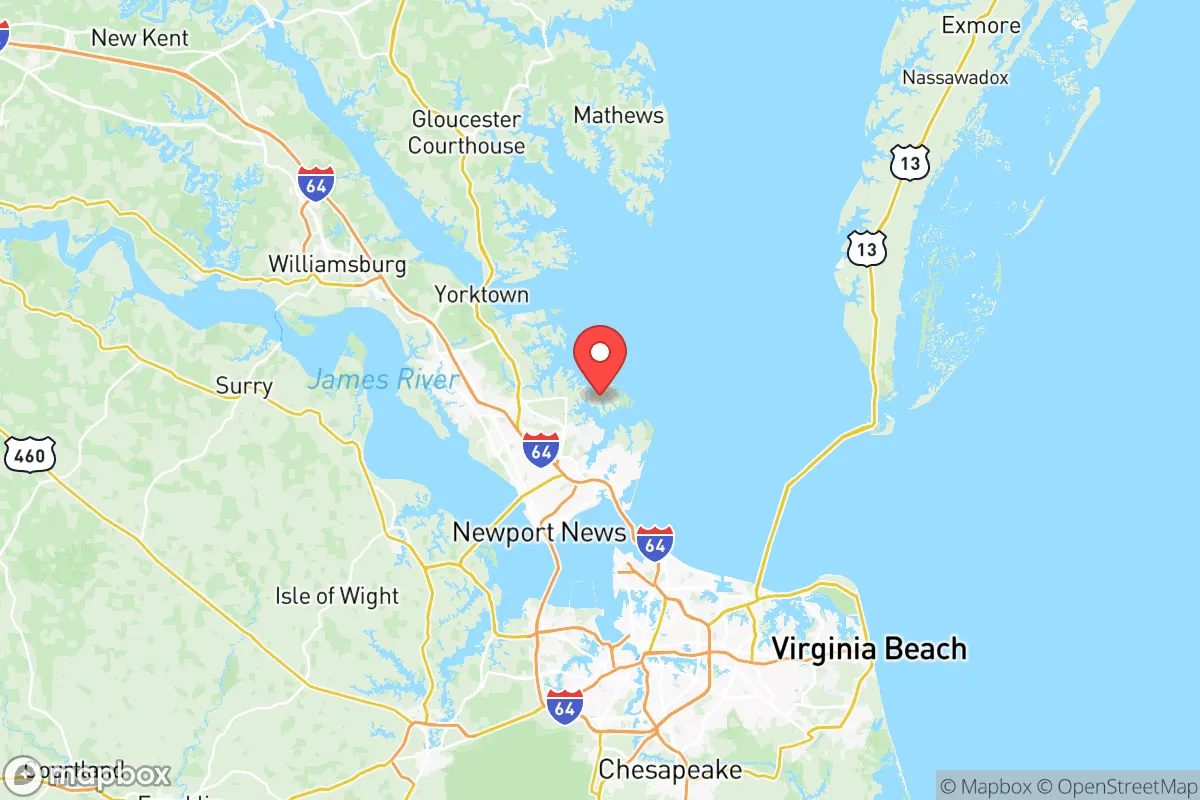
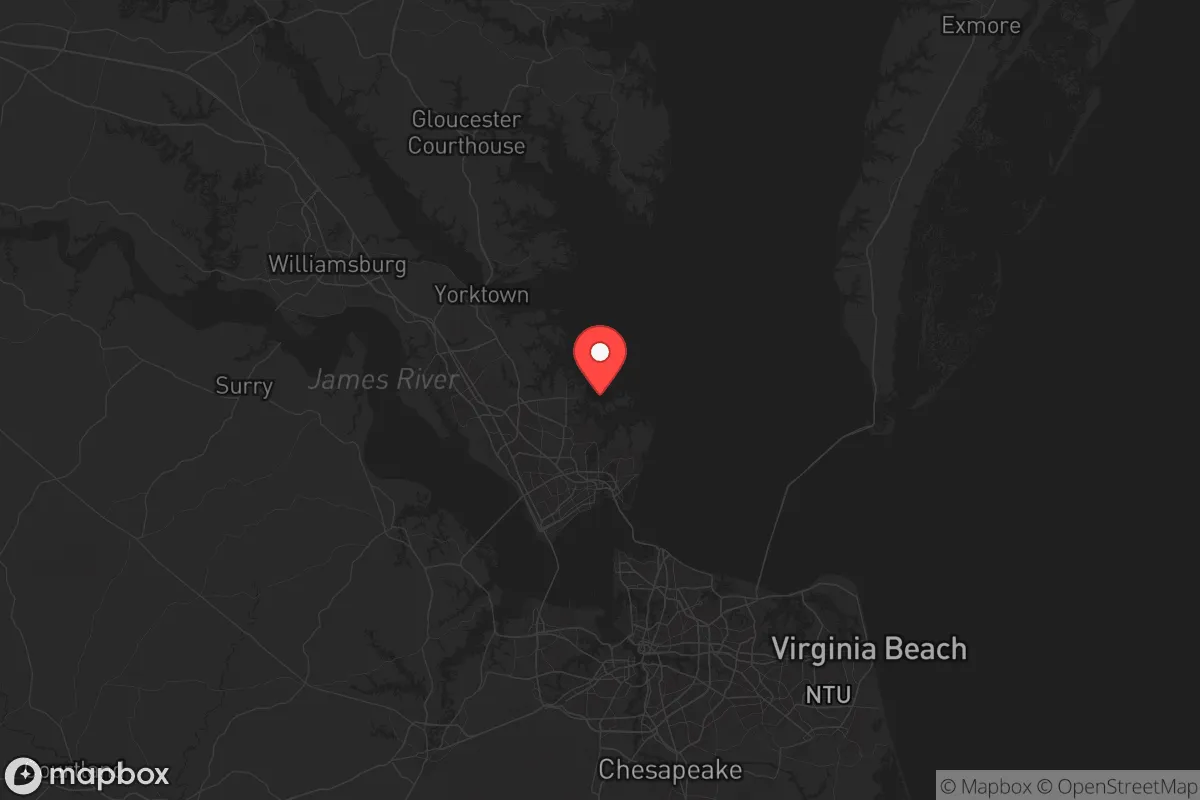
Poquoson sits on a peninsula bounded by the Chesapeake Bay to the east, the York River to the north, and Back River to the south, creating a natural buffer zone that limits through-traffic and casual access. This insular geography means the city has only two primary road connections to the mainland—Victory Boulevard and Poquoson Avenue—which can be monitored or controlled more easily than a typical suburban grid. The surrounding waterways also provide potential alternative transportation routes via boat, a meaningful advantage for a relocator thinking about supply chain disruptions or evacuation scenarios. The city's position places it roughly 20 miles from the center of Hampton and about 30 miles from Norfolk, close enough for access to urban resources but far enough to avoid the immediate fallout of a major metropolitan event. The area's flat, coastal terrain supports shallow groundwater tables, which can be tapped with proper well infrastructure, and the surrounding marshlands and wetlands serve as natural storm buffers, though they also limit developable land and agricultural capacity.
Risks, exposures, and proximity to fallout-relevant landmarks
Poquoson's strategic liabilities are significant and require honest assessment. The city lies within 15 miles of Langley Air Force Base in Hampton, a primary hub for intelligence, surveillance, and reconnaissance operations, including the 480th Intelligence Wing and NASA Langley Research Center. This makes Poquoson a high-probability secondary target in any conflict involving strategic assets. Additionally, the Norfolk Naval Station, the world's largest naval base, is roughly 25 miles south, and the Newport News Shipbuilding facility—a nuclear-capable shipyard—is less than 10 miles west. These three installations represent some of the most strategically valuable military infrastructure on the East Coast. For a relocator concerned about man-made disasters, Poquoson's proximity to these assets is a clear negative. The city is also within the potential fallout plume zone of the Surry Nuclear Power Station, located about 20 miles northwest across the James River. On the natural disaster front, Poquoson is highly vulnerable to hurricane storm surge and sea-level rise; much of the city sits at or below 10 feet elevation, and the 2020 Hurricane Isaias caused significant flooding in low-lying neighborhoods like Messick Point and White House Cove. The single evacuation route—Victory Boulevard—can become quickly congested during a mandatory evacuation order, a lesson reinforced during Hurricane Isabel in 2003.
Practical resilience for a relocator: food, water, energy, and defensibility
For a family or individual serious about self-sufficiency, Poquoson offers a mixed environment. Water access is a relative strength: the shallow aquifer beneath the peninsula provides potable groundwater at depths of 30 to 60 feet, and many older homes already have private wells. However, saltwater intrusion is a growing concern due to rising sea levels, so well water quality should be tested before purchase. The city's municipal water supply comes from the Newport News Waterworks system, which draws from the Chickahominy River and Lee Hall Reservoir—a centralized source that could be disrupted in a regional emergency. Food production is limited by the area's sandy, acidic soils and short growing season relative to the South. Most residential lots are small (typically 0.25 to 0.5 acres), making large-scale gardening challenging, though community gardens and local seafood from the Chesapeake Bay provide supplemental options. The city has a zoning code that permits backyard chickens and small livestock, a plus for self-sufficiency. Energy resilience is moderate: Dominion Energy serves the area, and power outages are common during nor'easters and hurricanes. Solar potential is decent, with roughly 4.5 peak sun hours per day, but homeowners' association restrictions in some neighborhoods may limit panel installation. Backup generators are common among prepared residents. Defensibility is a double-edged sword: the limited road access makes Poquoson easier to secure but also easier to isolate. The city's population of roughly 12,000 is spread across 40 square miles, with a low population density that reduces competition for resources in a crisis. The local police department is small (about 25 officers), and the nearest state police barracks is in Hampton, meaning response times could be extended during a widespread event. The city's strong sense of community and active neighborhood watch programs are intangible assets for mutual aid and information sharing.
The overall strategic picture for Poquoson is one of calculated trade-offs. Its geographic isolation and low population density offer genuine advantages for a relocator seeking distance from urban chaos, and the ability to access groundwater and supplement food with local seafood supports a modest self-sufficiency plan. However, the concentration of high-value military targets within a 25-mile radius—Langley Air Force Base, Norfolk Naval Station, and Newport News Shipbuilding—introduces a level of man-made risk that is difficult to mitigate through personal preparedness alone. For the reader who prioritizes natural disaster resilience and a quiet, community-oriented lifestyle, Poquoson is a viable option with manageable trade-offs. For those whose primary concern is strategic vulnerability to geopolitical events or large-scale infrastructure failure, the Hampton Roads region as a whole—including Poquoson—carries above-average risk. The prudent relocator would weigh these factors against their personal threat model and consider whether the city's natural buffers outweigh its proximity to some of the most consequential military assets on the Eastern Seaboard.

* Values derived from national, state, county, city and local statistics and may differ in a specific area. Last updated: 2026-08-08T12:40:14.000Z
Narrative content on this page is AI-generated and may contain mistakes. Verify any details that matter before acting on them.
ReloMaps may earn a commission from affiliate links at no extra cost to you.

