Photo: Wikipedia
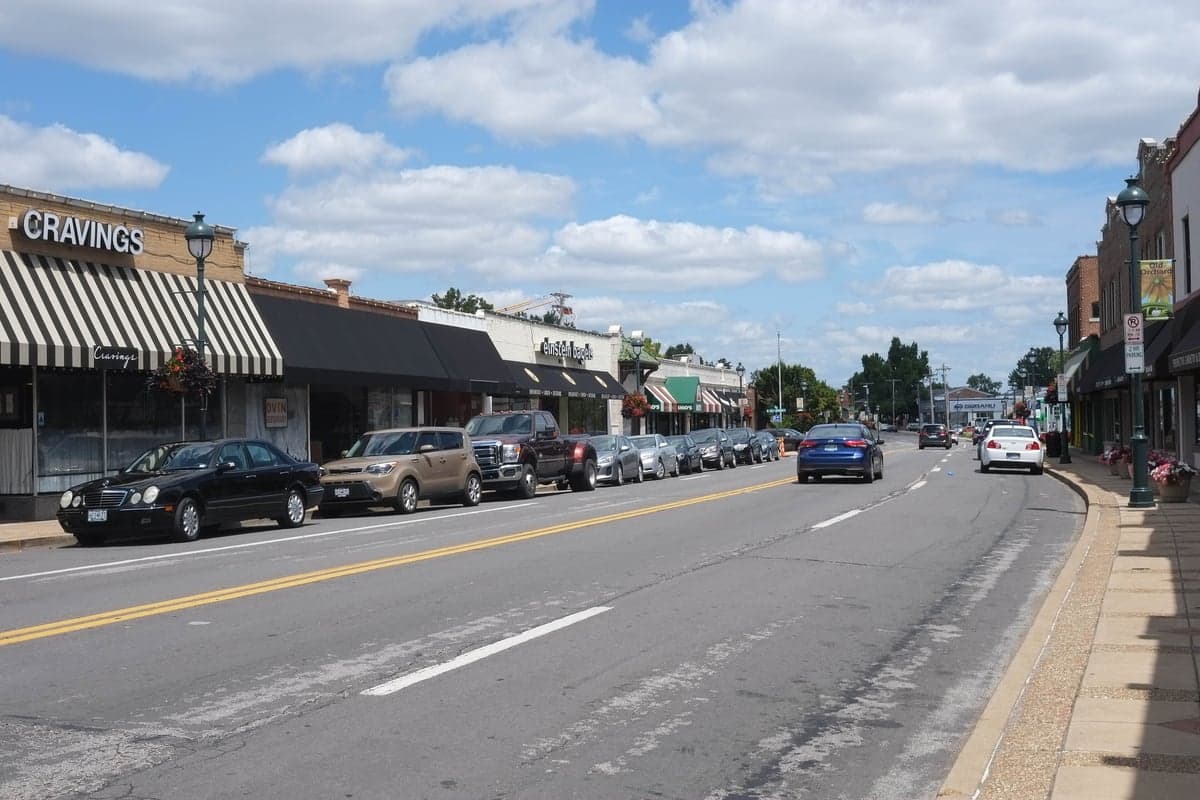
Strategic Assessment of Webster Groves, MO
Multiple tactical vulnerabilities. Population density, target proximity, or disaster risk are likely compounding. A retreat property and exit planning is required.
What does the Strategic Assessment tell us?
Our Strategic Assessment grades tactical survivability of an area. Major population centers, military targets, fallout zones, natural disasters, and border exposure all drive risk — lower exposure means a more defensible position in a crisis.
This is heavily inspired by Joel Skousen's Strategic Relocation book. Highly recommended you checkout the book ($)What does this tell us?
Our Strategic Assessment grades tactical survivability of an area. Major population centers, military targets, fallout zones, natural disasters, and border exposure all drive risk — lower exposure means a more defensible position in a crisis.
This is heavily inspired by Joel Skousen's Strategic Relocation book. Highly recommended you checkout the book ($)Strategic Pillars

Key Distances
Regional Safe Places
Below is our recommended "safe zones" in Missouri and the surrounding area based on our strategic heuristics. For most people, it's unrealistic to live in a “safe zone” full-time due to work, family or other personal reasons. They tend to be more rural. However, many of these areas are perfect for second homes and retreat properties that double as a vacation home or even a short-term rental.


Important Note: For informational purposes only. This does not mean nothing bad ever happens in the green zones. Please use common sense. This is based on public data and modeled with AI. We tried to take a conservative approach but mistakes happen. We update this regularly as new information becomes available.
Solar Generator Recommendations
Backup power matters more here than in safer locations. We've picked three solar generators across budgets and capacity tiers — start with the budget unit if you only need a few essentials, or step up if you want to run a fridge and HVAC for days at a time.

Jackery Portable Power Station Explorer 300
Budget OptionPower on the Go: Weighing only 11 lbs, it's convenient to set up and store with book-sized foldable solar panels

BLUETTI Portable Power Station AC180
Designed for both indoor and outdoor scenarios, AC180 is highly capable as it has a robost capacity and continuous output power.

EF ECOFLOW DELTA Pro Ultra Power Station
Upgraded PickEcoFlow DELTA Pro Ultra is a whole-home energy system designed to grow with your family. Integrated with the Smart Home Panel 2, it scales to meet your evolving energy needs — keeping your home powered, intelligent, and secure through every stage of life.
We earn a commission, at no additional cost to you.
Strategic Assessment Analysis
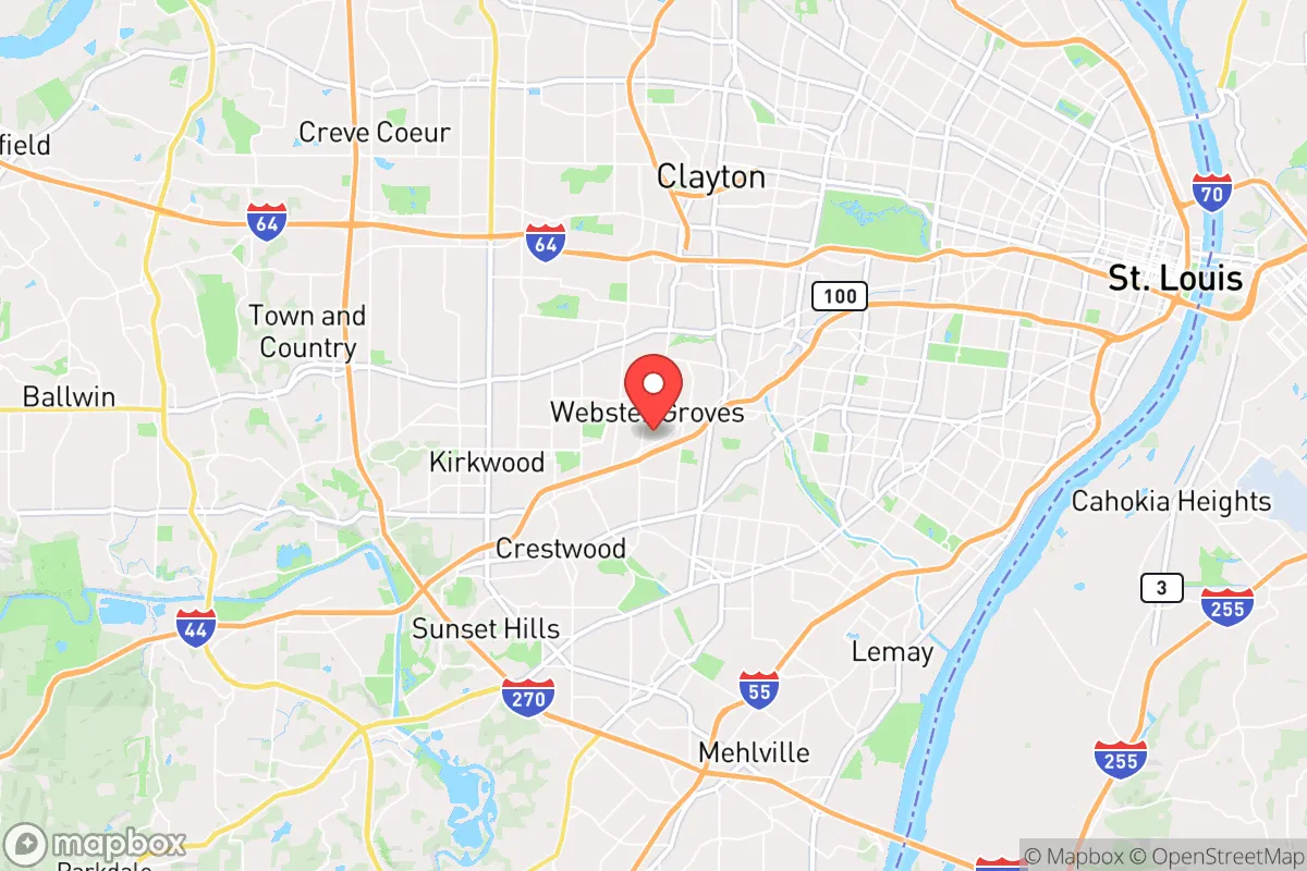
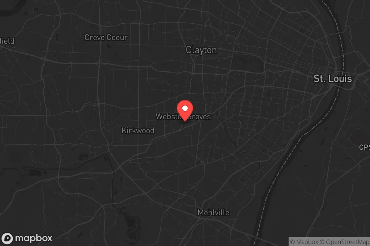
Webster Groves, Missouri, sits in a precarious strategic position that demands a clear-eyed assessment for anyone serious about long-term preparedness. While its tree-lined streets and historic homes project stability, the reality is that this inner-ring suburb of St. Louis is within the blast radius of a major metropolitan target, placing it squarely in a zone of elevated risk for civil unrest, infrastructure collapse, and fallout-related dangers. For the conservative prepper weighing relocation, Webster Groves offers a mixed bag: proximity to resources and a strong community fabric, but also exposure to the very urban vulnerabilities you're trying to escape.
Geographic position and natural advantages for a prepper
Webster Groves occupies roughly six square miles in St. Louis County, about 10 miles southwest of downtown St. Louis. Its location along the Mississippi River corridor provides access to a major waterway, but this is a double-edged sword. The area sits on relatively flat, well-drained land with no significant floodplain within the city limits—a plus compared to river towns like Chesterfield or Alton. The local soil is fertile, supporting robust gardening, and the region's four-season climate allows for a growing season from April through October. The city's mature tree canopy offers natural cover and a source of firewood, though it also creates debris hazards during severe storms. Webster Groves is not near any major fault lines, and tornado risk, while present, is lower than in the open plains to the west. The area's hills and valleys provide some natural defensibility, but nothing approaching the rugged terrain of the Ozarks. For a relocator, the key natural advantage is access to the Meramec River and numerous county parks within a 15-minute drive, offering fishing, hunting, and foraging opportunities—if you know how to use them.
Risks, exposures, and proximity to fallout-relevant landmarks
The most glaring vulnerability for Webster Groves is its proximity to St. Louis, a major metropolitan area with a population of over 2.8 million in the metro region. St. Louis is home to critical infrastructure that makes it a high-probability target in any major conflict: the Lambert-St. Louis International Airport, the Port of St. Louis (a top-20 inland port by tonnage), multiple rail hubs, and the Scott Air Force Base just 20 miles east in Illinois. The city also hosts the St. Louis Federal Reserve Bank and several Fortune 500 headquarters. In a mass casualty event or nuclear exchange, Webster Groves would be within the moderate-to-severe fallout zone depending on wind patterns. The city is also bisected by Interstate 44 and Interstate 270, major evacuation routes that would become instant choke points during any crisis. Civil unrest is a real concern: St. Louis has a history of protest-related violence, and Webster Groves' proximity to Ferguson (10 miles north) and the city's north side means that any regional instability would spill over quickly. The city's police force is small—around 40 officers—and would be overwhelmed in a widespread event. Additionally, the Boeing Defense, Space & Security facility in nearby Berkeley and the Monsanto (now Bayer) headquarters in Creve Coeur are symbolic targets that could draw secondary attacks or sabotage.
Practical resilience for a relocator: food, water, energy, and defensibility
For a single individual or family serious about self-sufficiency, Webster Groves presents significant challenges. The city is fully dependent on the St. Louis Metropolitan Water District for potable water, drawing from the Missouri River. A disruption to the water treatment system—whether from cyberattack, contamination, or infrastructure failure—would leave residents without a local backup. Private wells are virtually nonexistent within city limits, and rainwater collection is limited by local ordinances. Food resilience is better: the area has a strong network of community gardens, farmers' markets, and local farms within a 20-mile radius, but grocery stores are the primary food source for most residents. The Webster Groves Farmers Market runs May through October, but winter food storage would require a dedicated pantry and preservation skills. Energy infrastructure is grid-dependent, with Ameren Missouri providing electricity. Solar panels are allowed but must comply with historic district regulations in many neighborhoods, limiting installation options. Natural gas is widely available for heating and cooking, but a grid-down scenario would leave most homes without heat in winter. Defensibility is the weakest point: Webster Groves is a dense suburb with over 3,000 homes per square mile, meaning close neighbors and limited standoff distance. The street grid is interconnected, with multiple entry points from major roads like Big Bend Boulevard and Lockwood Avenue. A determined group could easily bypass any perimeter. The city's historic architecture—mostly wood-frame homes built between 1900 and 1950—offers poor ballistic protection and is highly flammable. For a prepper, the ideal scenario would be a rural property with acreage, not a 1920s bungalow on a quarter-acre lot. That said, the Webster Groves School District is highly rated, which matters for families who need to maintain a normal life while preparing. The community is politically mixed but leans moderate, with a noticeable conservative minority—enough to find like-minded neighbors for mutual aid, but not enough to form a cohesive preparedness network.
The overall strategic picture for Webster Groves is one of calculated risk. It is not a survivalist's paradise, nor is it a complete dead zone. For the relocator who values strong schools, a walkable community, and access to St. Louis' medical and supply infrastructure, it offers a baseline of stability—provided you accept the trade-offs. The city's proximity to a major target zone, its grid dependency, and its lack of natural defensibility mean that any serious preparedness plan must include a bug-out location at least 50 miles away, preferably in the Missouri Ozarks or southern Illinois hill country. Webster Groves works as a base of operations for a normal life, but it is not a place to hunker down for the long haul. If you're willing to maintain a low profile, build a network of trusted neighbors, and keep a fully stocked go-bag, you can make it work. But if your goal is true strategic independence—off-grid power, water, and food security—you'll want to look further west or south, where the fallout zones are thinner and the neighbors are farther apart.
* Values derived from national, state, county, city and local statistics and may differ in a specific area. Last updated: 2026-04-30T00:09:53.000Z
Narrative content on this page is AI-generated and may contain mistakes. Verify any details that matter before acting on them.
ReloMaps may earn a commission from affiliate links at no extra cost to you.