
Photo: Wikipedia
Demographics of West Columbia, SC
Affluence Level in West Columbia, SC
A middle-class area roughly in line with national averages across income, home values, education, and employment.
People of West Columbia, SC
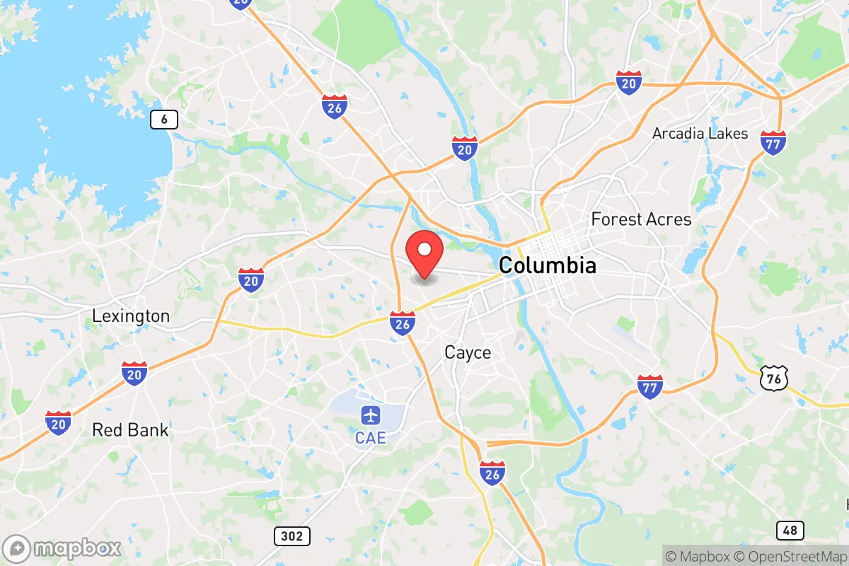
West Columbia, South Carolina, is a compact city of 17,723 residents with a distinctly suburban character, straddling the Congaree River opposite the state capital of Columbia. Its population is predominantly White (64.7%) with a significant Black minority (16.0%) and a growing Hispanic community (11.6%), while East/Southeast Asian residents (2.1%) and Indian-subcontinent residents (1.3%) form smaller but established enclaves. The city’s identity is shaped by its role as a quieter, more affordable alternative to downtown Columbia, with a strong sense of local pride and a population that is slightly more college-educated (38.1%) than the national average. The people here are a mix of long-standing Southern families, post-industrial workers, and newer arrivals drawn by the region’s economic stability and lower cost of living.
How the city was settled and grew
West Columbia’s human history begins not with colonial settlement but with the post-Civil War industrial boom. The area was originally farmland and riverfront timberland, but the arrival of the railroad in the 1870s and the establishment of textile mills along the Congaree River drew the first major wave of workers. The Brookland neighborhood, now the historic core of West Columbia, was platted in the 1890s as a mill village for the Brookland Cotton Mill. It attracted mostly White mill workers from the rural South Carolina upcountry, who built modest frame houses on narrow streets. A second wave came in the 1910s and 1920s with the expansion of the Guignard Brick Works and the Columbia Mills, drawing Black laborers who settled in the Saluda Avenue corridor and the River District (then called “the Bottom”), a low-lying area prone to flooding but close to the mills. By 1930, West Columbia’s population was roughly 70% White and 30% Black, with the two groups living in distinct but adjacent neighborhoods. The city was formally incorporated in 1894, but its growth remained tied to manufacturing until the mid-20th century.
Modern era (post-1965)
The 1965 Immigration and Nationality Act had a modest direct effect on West Columbia, but the city’s real transformation came from domestic in-migration and suburbanization. As Columbia expanded westward across the river, West Columbia absorbed middle-class White families leaving the city core in the 1970s and 1980s, particularly into the Pine Ridge and Mackenzie Place subdivisions. These neighborhoods remain predominantly White and owner-occupied today. The Hispanic population began growing in the 1990s, driven by construction and service-sector jobs in the broader Columbia metro area. Hispanic families concentrated in the Airport Boulevard corridor and the West Columbia Gardens area, where affordable rental housing and proximity to industrial employers (e.g., the nearby Amazon fulfillment center) created a natural landing zone. The Black population, which had been stable at around 20-25% through the 1970s, declined slightly as older mill families moved out, but the River District and Saluda Avenue neighborhoods remain historically Black strongholds. East/Southeast Asian residents, primarily Vietnamese and Korean families, arrived in small numbers in the 2000s, often as small-business owners (nail salons, restaurants) settling in the Meeting Street area. Indian-subcontinent residents, mostly professionals in healthcare and IT, are a newer and more dispersed group, with no single ethnic enclave but a visible presence in the Pine Ridge and newer subdivisions near I-26.
The future
West Columbia’s population is slowly diversifying, but the trend is toward assimilation rather than ethnic clustering. The Hispanic share (11.6%) is the fastest-growing segment, driven by both immigration and higher birth rates, and is expected to reach 15-18% by 2035. However, second-generation Hispanic residents are increasingly moving to the same suburban subdivisions as White families, blurring the old enclave boundaries. The Black population (16.0%) is stable but aging, with younger Black residents more likely to move to newer suburbs like Lexington or Irmo. East/Southeast Asian and Indian-subcontinent communities are small and highly educated—many are professionals at the nearby University of South Carolina or Prisma Health hospitals—and they are dispersing into the Mackenzie Place and Pine Ridge areas rather than forming new ethnic neighborhoods. The city is not tribalizing into distinct enclaves; rather, it is becoming a more homogenized, middle-class suburb where income and education level matter more than ethnicity. The biggest demographic challenge is the aging White population (median age 38.5), which is being slowly replaced by younger Hispanic and Asian families.
For someone moving in now, West Columbia is a stable, moderately diverse suburb that is becoming more Hispanic and more college-educated, but without the sharp ethnic divides of larger cities. The old mill-village character is fading, replaced by a commuter-oriented identity tied to Columbia’s job market. The city offers a safe, affordable base for families and singles who want proximity to a capital city without its costs or congestion, and the demographic trajectory suggests a gradual, peaceful blending of groups rather than conflict or rapid change.
* Values derived from national, state, county, city and local statistics and may differ in a specific area. Last updated: 2026-04-30T02:47:49.000Z
Narrative content on this page is AI-generated and may contain mistakes. Verify any details that matter before acting on them.
ReloMaps may earn a commission from affiliate links at no extra cost to you.