
Photo: Wikipedia
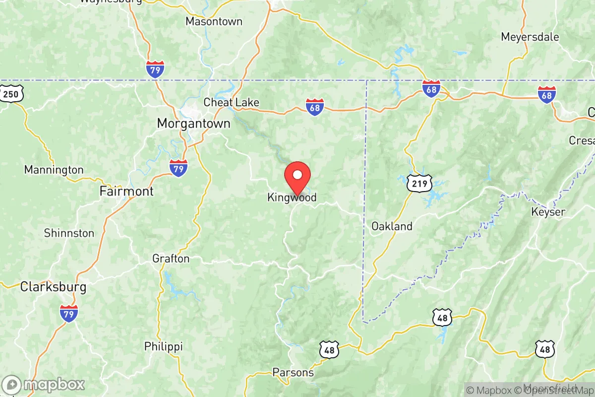
Strategic Assessment of Preston County
Workable tactical position. Some exposure to population density or targets, but generally defensible in a crisis.
What does the Strategic Assessment tell us?
Our Strategic Assessment grades tactical survivability of an area. Major population centers, military targets, fallout zones, natural disasters, and border exposure all drive risk — lower exposure means a more defensible position in a crisis.
This is heavily inspired by Joel Skousen's Strategic Relocation book. Highly recommended you checkout the book ($)What does this tell us?
Our Strategic Assessment grades tactical survivability of an area. Major population centers, military targets, fallout zones, natural disasters, and border exposure all drive risk — lower exposure means a more defensible position in a crisis.
This is heavily inspired by Joel Skousen's Strategic Relocation book. Highly recommended you checkout the book ($)Strategic Pillars

Key Distances
Strategic Assessment Analysis
Preston County, West Virginia, offers a compelling strategic position for relocation-minded individuals and families prioritizing resilience, self-sufficiency, and distance from major metropolitan vulnerabilities. Nestled in the Appalachian highlands along the Maryland border, this rural county of roughly 34,000 residents combines geographic isolation with practical advantages in food, water, and energy security, making it a serious contender for those assessing long-term preparedness. Its location—roughly 90 miles south of Pittsburgh and 50 miles west of the Washington, D.C. exurbs—places it far enough from major population centers to avoid their immediate fallout risks while remaining accessible for resupply or medical needs.
Geographic position and natural advantages for long-term security
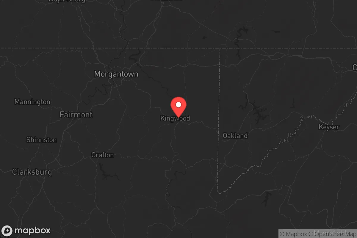
Preston County sits in the Allegheny Mountains, with elevations ranging from 1,500 to over 3,000 feet, creating a natural buffer against coastal storm surges, flooding from major river systems, and the sprawl of the Eastern Seaboard. The county's terrain is heavily forested—over 80% wooded—providing ample cover, timber for construction or fuel, and natural defensibility through steep ridges and narrow valleys. Key towns like Kingwood (the county seat), Morgantown (just west in Monongalia County), and Terra Alta sit on elevated plateaus, reducing flood risk from the Cheat River and its tributaries. The area's karst geology means limited surface water in some spots, but the Cheat River watershed and numerous small creeks offer reliable water sources for those with proper filtration. The county's position along the Cheat River and near the Monongahela National Forest to the south provides access to public lands for foraging, hunting, and emergency relocation. For a relocator, the key advantage is simple: Preston County is not near any major military target, refinery, or port. The nearest significant infrastructure is the Morgantown Municipal Airport (a general aviation field) and the Fort Martin Power Station (a coal plant on the Monongahela River), both about 20 miles west—close enough to be aware of, but far enough to avoid direct fallout zones in most scenarios.
Risks, exposures, and proximity to fallout-relevant landmarks
Preston County's primary risk profile is natural rather than man-made. The area experiences occasional flash flooding in low-lying areas along the Cheat River, particularly near Rowlesburg and Albright, where the river narrows and can rise rapidly after heavy rain. Winter storms are a recurring hazard—the county averages 60-80 inches of snow annually, with higher elevations like Terra Alta seeing more. Power outages from ice storms are common, sometimes lasting days. Earthquake risk is negligible, and tornadoes are rare due to the mountainous terrain. From a man-made risk standpoint, Preston County's distance from major targets is its strongest asset. The nearest significant military installation is the Pittsburgh Air Reserve Station (about 90 miles north), and the closest nuclear infrastructure is the Beaver Valley Power Station (a nuclear plant near Shippingport, PA, roughly 80 miles north). Neither poses a direct fallout threat under normal conditions, but a major event at either could produce a plume that might clip the northern part of the county depending on wind patterns. The Fort Martin Power Station and the Longview Power Plant (both coal/gas) are closer but lack the catastrophic fallout potential of nuclear sites. The county's lack of major highways (only US-50 and US-119 cut through) means it's not a primary evacuation route for larger cities, reducing the risk of refugee flows or supply chain disruptions during a crisis.
Practical resilience for a relocator: food, water, energy, and defensibility
For a household focused on self-sufficiency, Preston County offers strong fundamentals. Water is the easiest resource to secure: the Cheat River and its tributaries provide year-round flow, and the county's high rainfall (45-50 inches annually) makes rainwater catchment viable. However, well water quality varies due to coal mining history—some areas near Masontown and Reedsville have reported elevated iron and manganese levels, so testing is essential. Food production is feasible: the growing season runs roughly May through September, with fertile valley soils along the Cheat River and in the Bruceton Mills area supporting gardens and small livestock. Local agriculture is modest—hay, cattle, and some corn—but the county has a strong hunting culture (deer, turkey, small game) and fishing in the Cheat River. Energy is a mixed picture. The county is in the heart of the Marcellus Shale gas play, with numerous natural gas wells and pipelines, meaning natural gas is widely available for heating and cooking. Electricity comes from the regional grid (PJM Interconnection), which is reliable but vulnerable to ice storms. Solar potential is moderate—the mountainous terrain creates shading issues, but south-facing slopes near Aurora and Brandonville can work. Wood heating is the most practical backup, given the abundant forest cover. Defensibility is high: the county's rural character, low population density (about 45 people per square mile), and limited road network make it easy to monitor access points. The Cheat River and its gorge create natural barriers to the east, while the ridges around Cooper's Rock State Forest provide elevated vantage points. However, the county's proximity to Morgantown (home to West Virginia University, with 30,000+ students) means that a collapse scenario could see urban refugees moving east along US-119 and US-50—something a relocator should factor into their planning.
The overall strategic picture for Preston County is one of balanced resilience. It avoids the high-risk zones of coastal cities, major military targets, and industrial corridors while offering abundant natural resources and a defensible terrain. The trade-offs are real: harsh winters, limited medical infrastructure (the nearest hospital is in Morgantown), and the need to invest in well water testing, backup heating, and food storage. For a family or individual serious about preparedness, Preston County represents a solid middle-ground option—not as remote as West Virginia's eastern panhandle or the deep Monongahela National Forest, but far enough from the chaos of Pittsburgh or D.C. to provide genuine breathing room. The key is to choose a location on higher ground, away from floodplains, and with a reliable water source—areas around Terra Alta or Bruceton Mills offer the best combination of elevation, water access, and defensibility. It's not a bunker, but it's a place where a prepared household can thrive long-term.
* Values derived from national, state, county, city and local statistics and may differ in a specific area. Last updated: 2026-06-12T02:48:47.000Z
Narrative content on this page is AI-generated and may contain mistakes. Verify any details that matter before acting on them.
ReloMaps may earn a commission from affiliate links at no extra cost to you.