Photo: Wikipedia
Strategic Assessment of West Virginia
Workable tactical position. Some exposure to population density or targets, but generally defensible in a crisis.
What does the Strategic Assessment tell us?
Our Strategic Assessment grades tactical survivability of an area. Major population centers, military targets, fallout zones, natural disasters, and border exposure all drive risk — lower exposure means a more defensible position in a crisis.
This is heavily inspired by Joel Skousen's Strategic Relocation book. Highly recommended you checkout the book ($)What does this tell us?
Our Strategic Assessment grades tactical survivability of an area. Major population centers, military targets, fallout zones, natural disasters, and border exposure all drive risk — lower exposure means a more defensible position in a crisis.
This is heavily inspired by Joel Skousen's Strategic Relocation book. Highly recommended you checkout the book ($)Regional Safe Places
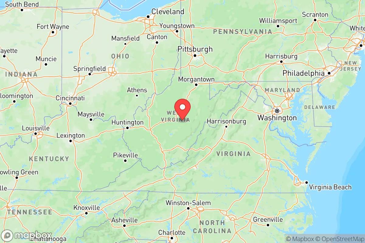
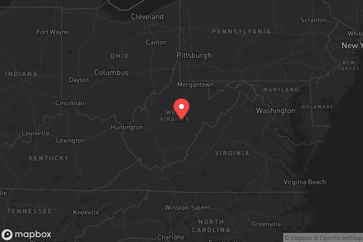
Below is our recommended "safe zones" in West Virginia and the surrounding area based on our strategic heuristics. For most people, it's unrealistic to live in a “safe zone” full-time due to work, family or other personal reasons. They tend to be more rural. However, many of these areas are perfect for second homes and retreat properties that double as a vacation home or even a short-term rental.


Important Note: For informational purposes only. This does not mean nothing bad ever happens in the green zones. Please use common sense. This is based on public data and modeled with AI. We tried to take a conservative approach but mistakes happen. We update this regularly as new information becomes available.
Solar Generator Recommendations
Backup power matters more here than in safer locations. We've picked three solar generators across budgets and capacity tiers — start with the budget unit if you only need a few essentials, or step up if you want to run a fridge and HVAC for days at a time.

Jackery Portable Power Station Explorer 300
Budget OptionPower on the Go: Weighing only 11 lbs, it's convenient to set up and store with book-sized foldable solar panels

BLUETTI Portable Power Station AC180
Designed for both indoor and outdoor scenarios, AC180 is highly capable as it has a robost capacity and continuous output power.

EF ECOFLOW DELTA Pro Ultra Power Station
Upgraded PickEcoFlow DELTA Pro Ultra is a whole-home energy system designed to grow with your family. Integrated with the Smart Home Panel 2, it scales to meet your evolving energy needs — keeping your home powered, intelligent, and secure through every stage of life.
We earn a commission, at no additional cost to you.
Strategic Assessment Analysis
West Virginia offers a rare combination of geographic isolation, resource independence, and low population density that makes it one of the most strategically resilient states in the eastern U.S. for those prioritizing long-term preparedness. Unlike the crowded corridors of the Northeast or the exposed Gulf Coast, the Mountain State sits far from major coastal targets, nuclear command centers, and the densest interstate choke points. For a relocator thinking in terms of decades—not just election cycles—West Virginia’s rugged terrain and self-sufficient communities provide a buffer against both civic unrest and cascading infrastructure failures that increasingly plague the rest of the country.
Geographic isolation and natural defensive advantages in West Virginia
West Virginia’s position in the Appalachian spine is its greatest strategic asset. The state is bordered by Ohio, Pennsylvania, Maryland, Virginia, and Kentucky, but its interior is defined by steep ridges, narrow valleys, and dense forest—terrain that naturally limits both large-scale movement and surveillance. Major population centers like Charleston, Huntington, and Morgantown are tucked into river valleys, not sprawling across flat plains. This topography makes the state a natural redoubt: any large-scale movement of people or vehicles would be funneled through a handful of mountain passes and river crossings, easily monitored or controlled. The state also lacks any major military bases or strategic command centers that would draw a first-strike scenario. The closest high-value targets are Fort Liberty (formerly Fort Bragg) in North Carolina, roughly 250 miles southeast, and the Washington, D.C. metro area about 200 miles east—both far enough to avoid direct fallout but close enough to be a secondary concern if the grid goes down. For a prepper, this distance from primary targets is a major plus.
Risks, exposures, and proximity to fallout-relevant landmarks
No location is risk-free, and West Virginia has its own set of vulnerabilities that a strategic relocator must weigh. The state’s industrial past left a legacy of abandoned coal mines, chemical plants, and natural gas infrastructure that could become secondary hazards during a disaster. The Kanawha River Valley, running through Charleston and downstream to the Ohio River, is lined with chemical manufacturing facilities—including the site of the 2021 Freedom Industries spill—that could release toxic plumes if power or containment fails. The Mountaineer Gas Company pipeline network and the Marcellus Shale gas fields in the northern part of the state present explosion and contamination risks, though these are localized compared to the refinery corridors of Texas or Louisiana. On the plus side, West Virginia has no nuclear power plants within its borders; the closest are North Anna in Virginia (about 200 miles east) and Beaver Valley in Pennsylvania (about 150 miles north). Fallout from a strike on those facilities would likely be carried east or northeast by prevailing winds, sparing most of the state. The real risk here is less about a single catastrophic event and more about the cumulative fragility of aging infrastructure—roads, bridges, and power lines—that could fail during a prolonged grid-down scenario.
Practical resilience for a relocator: food, water, energy, and defensibility
For a relocator serious about self-sufficiency, West Virginia delivers where most states fall short. Water is abundant: the state averages over 40 inches of rainfall annually, and hundreds of small streams and springs run year-round through the hollows. The Greenbrier River, Potomac River, and New River watersheds provide reliable surface water, and groundwater is generally accessible via shallow wells in the valleys. Food production is viable but not easy—the growing season is short (about 150 days in the lower elevations) and the soil is thin and rocky. However, the state has a strong tradition of hunting and foraging: white-tailed deer, wild turkey, and black bear are plentiful, and morel mushrooms, ramps, and berries are abundant in season. Energy independence is a major draw: West Virginia sits on top of the Pittsburgh Coal Seam and the Marcellus Shale, meaning that with the right equipment, a landowner can access coal, natural gas, or firewood for heating and cooking. Solar potential is moderate—the state gets about 4-5 peak sun hours per day—but micro-hydro from a creek is a realistic option in many valleys. Defensibility is baked into the landscape: a homestead set back from a county road, up a hollow with a single access point, is inherently hard to approach. The local culture is still one of firearms ownership and neighborly mutual aid, though the latter can be a double-edged sword—outsiders are often viewed with suspicion until they prove themselves. For a single individual or a family, the key is to buy land in a county with low population density and a working-age population that still remembers how to fix things themselves. Pocahontas County, Tucker County, and Webster County are good starting points for isolation; Jefferson County near the Eastern Panhandle is too close to D.C. for serious preppers.
The overall strategic picture for West Virginia is one of high potential paired with real trade-offs. It is not a place for someone who needs Amazon Prime delivery or a 24-hour emergency room within 15 minutes. But for a relocator who values distance from primary targets, abundant natural resources, and terrain that favors the defender, it is arguably the best option east of the Mississippi. The state’s economic struggles and population decline have kept land prices low and availability high—a window that won’t stay open forever. The smart move is to secure a property with a reliable water source, a defensible access point, and enough acreage for a garden and woodlot before the next wave of coastal refugees discovers what the locals already know: the mountains are the last place the chaos will reach, and the first place it will be turned back.
Top 10 Cities by Strategic Assessment in West Virginia


* Values derived from national, state, county, city and local statistics and may differ in a specific area. Last updated: 2026-04-19T01:51:25.000Z
Narrative content on this page is AI-generated and may contain mistakes. Verify any details that matter before acting on them.
ReloMaps may earn a commission from affiliate links at no extra cost to you.