
Photo: Wikipedia
Strategic Assessment of Westover, WV
Meaningful friction. Expect exposure to either population pressure, blast zones, or natural disaster risk. Consider buying a retreat property.
What does the Strategic Assessment tell us?
Our Strategic Assessment grades tactical survivability of an area. Major population centers, military targets, fallout zones, natural disasters, and border exposure all drive risk — lower exposure means a more defensible position in a crisis.
This is heavily inspired by Joel Skousen's Strategic Relocation book. Highly recommended you checkout the book ($)What does this tell us?
Our Strategic Assessment grades tactical survivability of an area. Major population centers, military targets, fallout zones, natural disasters, and border exposure all drive risk — lower exposure means a more defensible position in a crisis.
This is heavily inspired by Joel Skousen's Strategic Relocation book. Highly recommended you checkout the book ($)Strategic Pillars

Key Distances
Regional Safe Places
Below is our recommended "safe zones" in West Virginia and the surrounding area based on our strategic heuristics. For most people, it's unrealistic to live in a “safe zone” full-time due to work, family or other personal reasons. They tend to be more rural. However, many of these areas are perfect for second homes and retreat properties that double as a vacation home or even a short-term rental.


Important Note: For informational purposes only. This does not mean nothing bad ever happens in the green zones. Please use common sense. This is based on public data and modeled with AI. We tried to take a conservative approach but mistakes happen. We update this regularly as new information becomes available.
Solar Generator Recommendations
Backup power matters more here than in safer locations. We've picked three solar generators across budgets and capacity tiers — start with the budget unit if you only need a few essentials, or step up if you want to run a fridge and HVAC for days at a time.

Jackery Portable Power Station Explorer 300
Budget OptionPower on the Go: Weighing only 11 lbs, it's convenient to set up and store with book-sized foldable solar panels

BLUETTI Portable Power Station AC180
Designed for both indoor and outdoor scenarios, AC180 is highly capable as it has a robost capacity and continuous output power.

EF ECOFLOW DELTA Pro Ultra Power Station
Upgraded PickEcoFlow DELTA Pro Ultra is a whole-home energy system designed to grow with your family. Integrated with the Smart Home Panel 2, it scales to meet your evolving energy needs — keeping your home powered, intelligent, and secure through every stage of life.
We earn a commission, at no additional cost to you.
Strategic Assessment Analysis
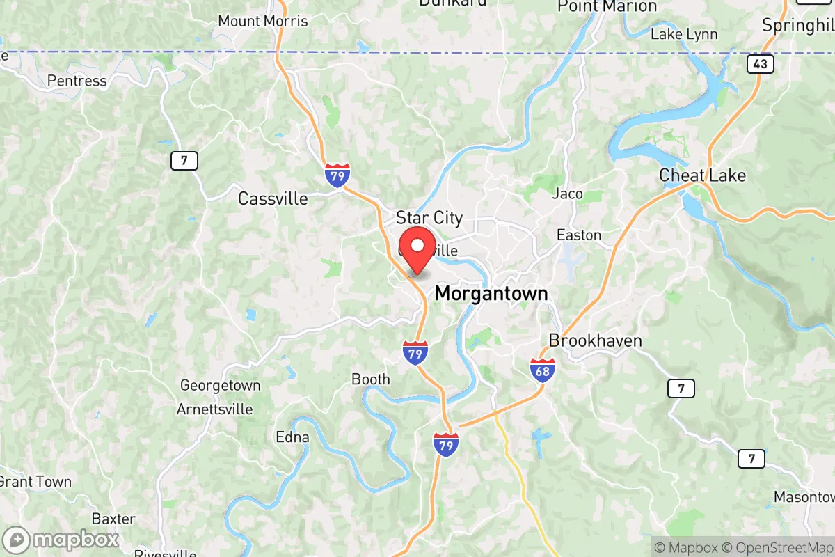
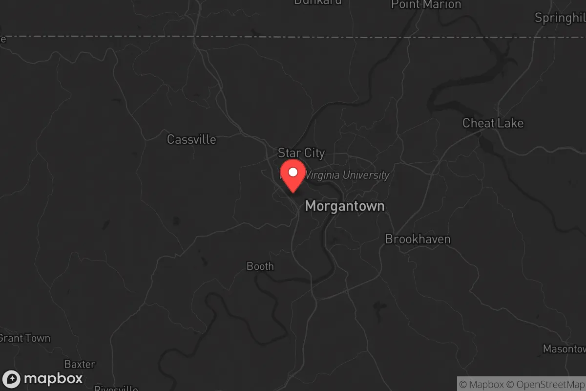
Westover, West Virginia, occupies a strategic position that balances rural resilience with practical access to resources, making it a viable relocation option for those prioritizing self-sufficiency and security. Nestled along the Monongahela River in Monongalia County, this small city of roughly 4,200 residents sits just outside Morgantown but retains a distinct small-town character. For a prepper or survivalist mindset, Westover’s key advantage is its location in the Appalachian foothills—a region historically insulated from the worst effects of national-scale disruptions due to its topography, lower population density, and distance from major coastal targets. The area’s resilience stems from its ability to leverage nearby infrastructure while maintaining a buffer from the chaos of larger metropolitan zones.
Geographic position and natural advantages for long-term security
Westover’s geography is its strongest asset. The city sits at the confluence of the Monongahela River and Deckers Creek, providing a reliable freshwater source—critical for any extended disruption of municipal systems. The surrounding terrain is hilly and forested, offering natural defensibility and concealment from casual observation. Elevation ranges from roughly 800 to 1,200 feet, which reduces flood risk compared to lower-lying areas along the river. The region’s temperate climate supports subsistence gardening and small-scale agriculture, with a growing season of about 150 days. The nearby Cheat Lake and Coopers Rock State Forest provide additional water access and foraging opportunities. For a relocator, this means the land itself can sustain life without heavy reliance on external supply chains. The area’s distance from the East Coast’s major population corridors—roughly 200 miles from Washington, D.C., and 150 miles from Pittsburgh—places it outside the immediate fallout zone of a major urban disaster, whether natural or man-made.
Risks, exposures, and proximity to fallout-relevant landmarks
No location is without vulnerabilities, and Westover has several that a strategic relocator must weigh. The most significant risk is its proximity to Morgantown (population ~30,000) and West Virginia University, which could become a focal point for civil unrest or resource competition during a crisis. Morgantown’s hospital system, including WVU Medicine’s Ruby Memorial Hospital, is a regional hub—useful in normal times but a potential target or bottleneck during a mass casualty event. Interstate 79 runs just west of Westover, providing rapid movement for both evacuees and potential threats. The nearby Morgantown Municipal Airport and the larger Pittsburgh International Airport (about 75 miles north) are obvious infrastructure targets. More concerning for the prepper: the region hosts several chemical and industrial facilities along the Monongahela River, including the Morgantown Energy Facility and various natural gas infrastructure tied to the Marcellus Shale play. A major industrial accident or sabotage could contaminate local water or air. Additionally, the area lies within 100 miles of the Beaver Valley Nuclear Power Station in Pennsylvania, placing it within a plausible fallout plume zone for a worst-case scenario. Flooding along the Monongahela is a recurring natural risk, with the National Weather Service noting that Westover’s low-lying areas near the river have experienced moderate flooding events in 2018 and 2022.
Practical resilience for a relocator: food, water, energy, and defensibility
For a relocator focused on practical self-sufficiency, Westover offers a mixed but workable profile. Water access is strong: the Monongahela River provides a year-round surface water source, and the area’s average annual rainfall of 40 inches supports rainwater catchment systems. However, municipal water treatment relies on the Morgantown Water Treatment Plant, which could be compromised during a grid-down scenario. A well on private property is ideal, but many Westover lots are small and may not accommodate one. Food production is feasible with effort: the surrounding county has fertile valley soils, and local farmers’ markets and co-ops exist, but the region is not a major agricultural producer. Stockpiling and establishing a home garden with cold-hardy crops like potatoes, kale, and root vegetables is advisable. Energy resilience is a bright spot: West Virginia’s deregulated energy market allows for off-grid solar installations, and the region’s coal and natural gas history means backup generators and fuel are relatively accessible. The local power grid is served by Mon Power (FirstEnergy), which has a mixed reliability record—outages from storms are common, but restoration times are generally shorter than in remote rural areas. Defensibility is moderate: the hilly terrain and limited road network (primarily US-19 and I-79) create natural chokepoints, but Westover’s layout as a small city with suburban-style neighborhoods means a determined group could approach from multiple directions. The local police force is small (about 12 officers), so community self-defense networks would be essential. The nearest National Guard armory is in Morgantown, which could be a stabilizing or destabilizing factor depending on the scenario.
The overall strategic picture for Westover is one of calculated compromise. It offers genuine advantages in water access, terrain, and distance from primary targets, but it is not a remote bunker location. For the conservative-leaning relocator who values community and practical preparedness over total isolation, Westover provides a base that can be hardened with modest investment. The key is to treat it as a staging point rather than a final redoubt: establish a home with redundant water and power systems, build relationships with like-minded neighbors, and maintain a vehicle capable of reaching deeper rural areas in West Virginia’s interior if conditions deteriorate. The area’s proximity to Morgantown’s resources is a double-edged sword—useful for pre-crisis supply runs but a liability during unrest. A serious prepper would view Westover as a viable option only if they are willing to actively manage those risks through planning, stockpiling, and community engagement. It is not a bug-out location; it is a live-in location that requires constant situational awareness. For those willing to put in the work, Westover offers a realistic middle ground between the vulnerability of the suburbs and the isolation of the deep woods.
* Values derived from national, state, county, city and local statistics and may differ in a specific area. Last updated: 2026-04-23T05:52:09.000Z
Narrative content on this page is AI-generated and may contain mistakes. Verify any details that matter before acting on them.
ReloMaps may earn a commission from affiliate links at no extra cost to you.