Photo: Wikipedia
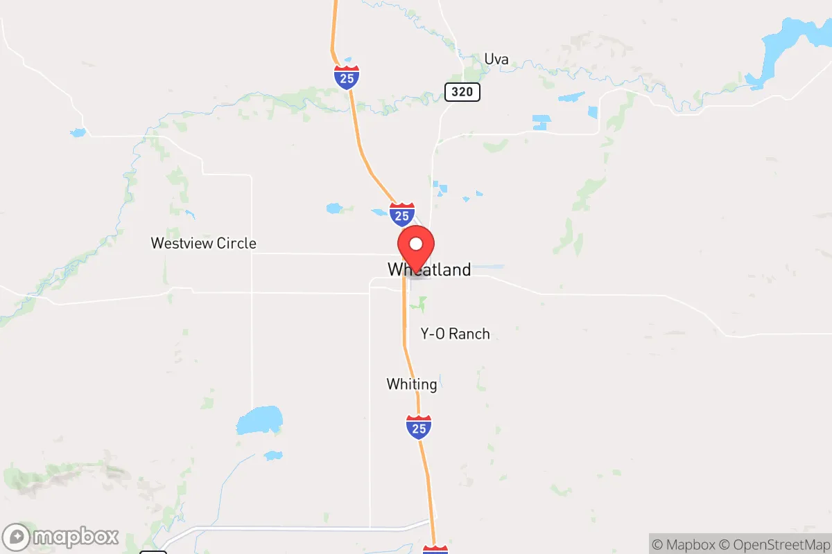
Demographics of Wheatland, WY
Affluence Level in Wheatland, WY
A middle-class area roughly in line with national averages across income, home values, education, and employment.
People of Wheatland, WY
The people of Wheatland, Wyoming today form a predominantly white, working-class community of 3,570 residents, with a notable Hispanic minority of 16.2% and virtually no foreign-born population. The city is characterized by its low population density, a strong agricultural and energy-sector employment base, and a distinctly conservative civic identity rooted in its ranching and railroad origins. With only 16.4% of adults holding a college degree, the population skews toward practical trades and family-owned operations, giving Wheatland a stable, insular character that resists rapid demographic change.
How the city was settled and grew
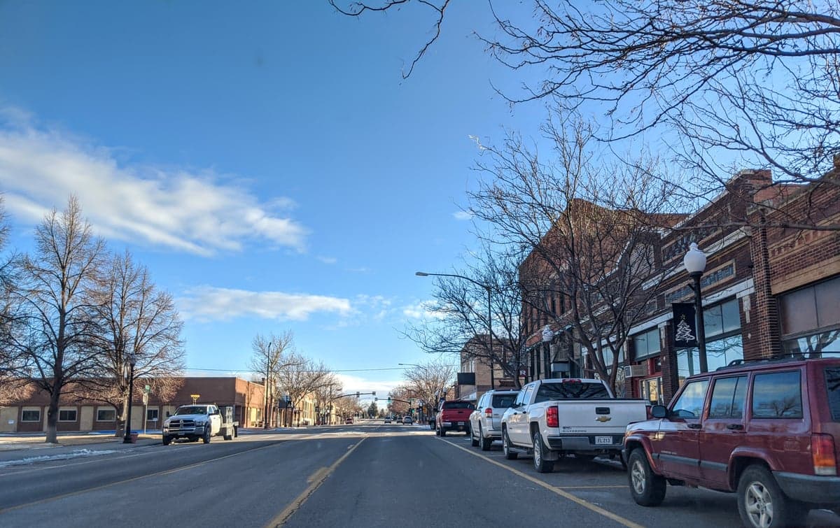
Wheatland was founded in 1883 as a railroad town on the Cheyenne-Deadwood stage route, drawing its first settlers from Midwestern homesteaders and Union veterans seeking land under the Homestead Act. The original plat, centered around Plaza Park, was laid out by the Wyoming Development Company, which marketed irrigated farm plots to German, Scandinavian, and Anglo-American families. These early residents built the core of what is now Old Town Wheatland, the historic district along 9th and 10th Streets where many original frame houses and storefronts remain. A second wave arrived between 1900 and 1920, driven by the expansion of the Burlington Railroad and the opening of the Wheatland Irrigation Project, which transformed dry prairie into productive alfalfa and sugar beet fields. This period saw the establishment of North Side, a working-class neighborhood of small bungalows built for railroad workers and farm laborers, many of whom were second-generation German and Irish immigrants. The city’s population peaked around 3,800 in the 1950s, supported by a thriving sugar beet processing plant and regional cattle shipping, before entering a long, slow decline as agricultural consolidation reduced the need for farm labor.
Modern era (post-1965)
After the 1965 Hart-Cellar Act, Wheatland saw no significant immigration wave—its foreign-born population remains at 0.0% today. Instead, the post-1965 era was defined by domestic out-migration of younger residents to larger Wyoming cities like Cheyenne and Casper, and a gradual aging of the remaining population. The Hispanic share, now 16.2%, grew almost entirely through internal migration from other U.S. regions, particularly from agricultural communities in Colorado and Nebraska, rather than direct immigration. These Hispanic families settled predominantly in South Wheatland, a newer subdivision of manufactured homes and ranch-style houses south of Highway 310, and in the West End near the former sugar beet factory site, where seasonal agricultural work historically provided entry-level employment. The white population, now 77.9%, remains concentrated in Old Town and the North Side, with many families tracing their roots back three or four generations. The Black population (0.1%) and East/Southeast Asian population (0.0%) are statistically negligible, reflecting the city’s lack of industrial or university magnets that typically attract diverse workforces. The college-educated share of 16.4% is well below the national average, reinforcing the community’s blue-collar identity and limited professional-class in-migration.
The future
Wheatland’s population is projected to remain stable or decline slightly over the next decade, as the aging white cohort shrinks and younger families continue to leave for better job opportunities elsewhere. The Hispanic share is likely to grow modestly through natural increase and continued domestic migration from other agricultural regions, but the city shows no signs of becoming a destination for international immigrants. The community is not tribalizing into distinct enclaves—Hispanic and white residents live in overlapping neighborhoods, particularly in South Wheatland and the West End, and intermarriage is common. However, the absence of new housing developments or major employers means the population will likely homogenize further around its existing agricultural and energy-service base, with little influx of outsiders. The next 10-20 years will probably see Wheatland become older, slightly more Hispanic, and even more insular, as the few remaining young adults leave for college towns or regional hubs.
For someone moving in now, Wheatland offers a stable, low-crime, conservative community where neighbors know each other and the pace of life is slow. The trade-off is limited economic opportunity, a narrow social and cultural landscape, and a population that is slowly shrinking. It is a place for those seeking quiet, rootedness, and a predictable routine—not for those looking for diversity, career growth, or rapid change.
* Values derived from national, state, county, city and local statistics and may differ in a specific area. Last updated: 2026-04-21T11:40:03.000Z
Narrative content on this page is AI-generated and may contain mistakes. Verify any details that matter before acting on them.
ReloMaps may earn a commission from affiliate links at no extra cost to you.