Photo: Wikipedia
Strategic Assessment of Youngsville, LA
Meaningful friction. Expect exposure to either population pressure, blast zones, or natural disaster risk. Consider buying a retreat property.
What does the Strategic Assessment tell us?
Our Strategic Assessment grades tactical survivability of an area. Major population centers, military targets, fallout zones, natural disasters, and border exposure all drive risk — lower exposure means a more defensible position in a crisis.
This is heavily inspired by Joel Skousen's Strategic Relocation book. Highly recommended you checkout the book ($)What does this tell us?
Our Strategic Assessment grades tactical survivability of an area. Major population centers, military targets, fallout zones, natural disasters, and border exposure all drive risk — lower exposure means a more defensible position in a crisis.
This is heavily inspired by Joel Skousen's Strategic Relocation book. Highly recommended you checkout the book ($)Strategic Pillars

Key Distances
Regional Safe Places
Below is our recommended "safe zones" in Louisiana and the surrounding area based on our strategic heuristics. For most people, it's unrealistic to live in a “safe zone” full-time due to work, family or other personal reasons. They tend to be more rural. However, many of these areas are perfect for second homes and retreat properties that double as a vacation home or even a short-term rental.

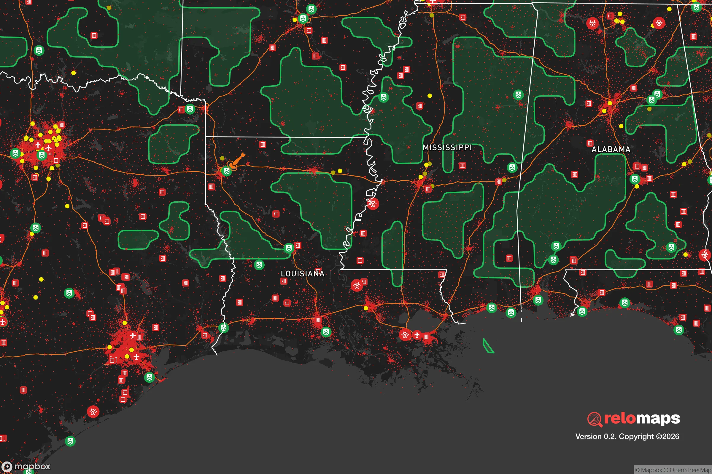
Important Note: For informational purposes only. This does not mean nothing bad ever happens in the green zones. Please use common sense. This is based on public data and modeled with AI. We tried to take a conservative approach but mistakes happen. We update this regularly as new information becomes available.
Solar Generator Recommendations
Backup power matters more here than in safer locations. We've picked three solar generators across budgets and capacity tiers — start with the budget unit if you only need a few essentials, or step up if you want to run a fridge and HVAC for days at a time.

Jackery Portable Power Station Explorer 300
Budget OptionPower on the Go: Weighing only 11 lbs, it's convenient to set up and store with book-sized foldable solar panels

BLUETTI Portable Power Station AC180
Designed for both indoor and outdoor scenarios, AC180 is highly capable as it has a robost capacity and continuous output power.

EF ECOFLOW DELTA Pro Ultra Power Station
Upgraded PickEcoFlow DELTA Pro Ultra is a whole-home energy system designed to grow with your family. Integrated with the Smart Home Panel 2, it scales to meet your evolving energy needs — keeping your home powered, intelligent, and secure through every stage of life.
We earn a commission, at no additional cost to you.
Strategic Assessment Analysis
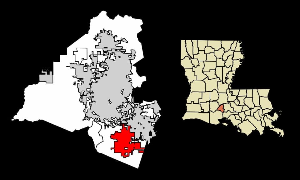
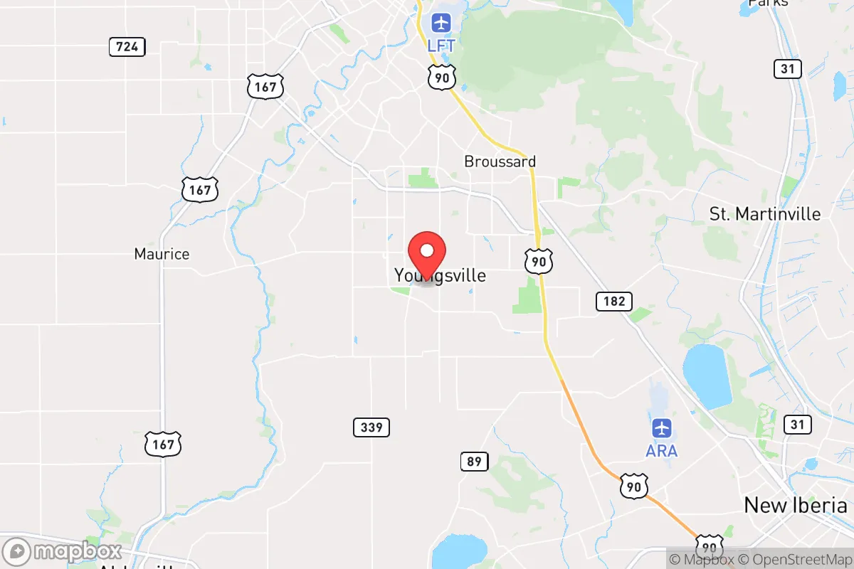
Youngsville, Louisiana, offers a strategic relocation option for those prioritizing resilience, sitting roughly 10 miles inland from the Gulf of Mexico and 135 miles west of New Orleans, placing it outside the immediate blast radius of major urban targets while still within a day's drive of critical supply chains. The city's population of roughly 17,000, growing steadily from under 8,000 in 2010, reflects a community that has expanded rapidly but retains a small-town character with low crime rates—violent crime in Youngsville is roughly 70% below the national average, according to 2024 FBI data. Its position along the Vermilion River and proximity to Interstate 10 provide both water access and a major east-west evacuation corridor, though the area's flat coastal terrain and reliance on a single major highway present clear trade-offs for long-term sustainability. For a conservative-leaning relocator concerned with civic stability and self-sufficiency, Youngsville's blend of isolation from urban chaos and access to regional resources makes it a credible, if imperfect, base for weathering national-level disruptions.
Geographic position and natural advantages for long-term stability
Youngsville sits in Lafayette Parish, a region defined by the Atchafalaya Basin to the east and the Gulf Intracoastal Waterway to the south, offering natural barriers that slow movement from coastal or urban threats. The city's elevation averages just 20 feet above sea level, which is low but still higher than much of southern Louisiana, and the surrounding marshland and bayous create a natural buffer against large-scale ground movement—a tactical advantage if civil unrest or mass migration events occur along the I-10 corridor. The climate is humid subtropical, with an average of 60 inches of rainfall annually, which supports year-round agriculture and makes the area less dependent on distant food supply chains; local farms produce rice, sugarcane, and crawfish, and the Gulf's fisheries are within a 30-minute drive. The region's oil and gas infrastructure, centered in Lafayette, provides a local energy surplus—Louisiana is a net energy exporter—meaning fuel shortages during national crises are less likely to hit Youngsville as hard as they would in the Northeast or West Coast. However, the flat, open terrain offers limited natural cover or defensible high ground, so a relocator must rely on community networks and structural hardening rather than geographic chokepoints for security.
Risks, exposures, and proximity to fallout-relevant landmarks
Youngsville's primary vulnerability is its proximity to the Louisiana Offshore Oil Port (LOOP), located about 40 miles south in the Gulf, which is a critical energy infrastructure node that could become a target in a conflict or terrorist event—though its offshore location limits direct fallout risk to the city. The Port of New Orleans, a major trade hub, is 135 miles east, and the Strategic Petroleum Reserve's Bryan Mound site near Freeport, Texas, is roughly 200 miles west, placing Youngsville outside the immediate blast zones of these high-value targets but within a secondary fallout zone if a nuclear device were used at either location. Hurricane risk is the most immediate natural threat: Youngsville sits in a region that has seen direct hits from Category 4 storms like Hurricane Laura in 2020, and the city's drainage infrastructure can be overwhelmed by rapid rainfall, leading to localized flooding. The nearby Vermilion River and Bayou Teche can rise quickly during storm surges, though Youngsville's inland position means it avoids the worst of coastal storm surge—storm surge heights here rarely exceed 5 feet, compared to 15-20 feet on the immediate coast. For a prepper, the key takeaway is that Youngsville is far enough from major urban targets to avoid immediate destruction but close enough to experience secondary effects like refugee flows, supply chain disruptions, and power grid strain from regional disasters.
Practical resilience for a relocator: food, water, energy, and defensibility
Water access is strong: the Vermilion River and numerous bayous provide surface water for filtration, and the average annual rainfall of 60 inches means rainwater catchment is viable year-round, though a relocator should plan for a minimum of two weeks of stored water given the risk of hurricane-related contamination. Food resilience is above average for a Southern town: local farmers' markets operate weekly in nearby Lafayette, and the region's rice and crawfish production means staple calories are locally sourced, but a relocator should establish a home garden and consider livestock like chickens or goats, as grocery supply chains can break for 7-10 days after a major storm. Energy is a clear advantage: Louisiana's natural gas production means propane and gasoline are relatively cheap and available, and solar panel installation is feasible given the region's 217 sunny days per year, though hurricane winds require robust mounting systems. Defensibility is the weakest link: Youngsville's suburban layout, with cul-de-sacs and open lots, offers few natural chokepoints, and the city's police force of roughly 30 officers for 17,000 residents means law enforcement response times can stretch during a crisis. A relocator should prioritize a property with a fenced perimeter, a backup generator, and a well, and should build relationships with neighbors—the area's strong Cajun culture emphasizes community mutual aid, which is a resilience asset that cannot be bought.
The overall strategic picture for Youngsville is one of moderate resilience with clear trade-offs: it offers a safe distance from major urban targets, abundant natural resources, and a conservative-leaning community that values self-reliance, but its low elevation, hurricane exposure, and lack of natural defensibility require active mitigation. For a single individual or family willing to invest in water storage, storm hardening, and community integration, Youngsville provides a credible base for riding out national-level disruptions—whether economic collapse, civil unrest, or a major disaster—without the isolation of a remote mountain retreat. The city's growth trajectory suggests it will continue to attract like-minded relocators, which could strengthen mutual-aid networks over time, but the flat terrain and single evacuation route (I-10) mean that a relocator must have a secondary plan for bugging out north toward Alexandria or east toward Mississippi if a hurricane or other event forces a regional evacuation. In short, Youngsville is not a fortress, but it is a viable, resource-rich hub for those who prioritize practical preparedness over dramatic escape fantasies—and that realism is itself a strategic advantage.
* Values derived from national, state, county, city and local statistics and may differ in a specific area. Last updated: 2026-04-23T04:57:31.000Z
Narrative content on this page is AI-generated and may contain mistakes. Verify any details that matter before acting on them.
ReloMaps may earn a commission from affiliate links at no extra cost to you.