
Photo: Wikipedia
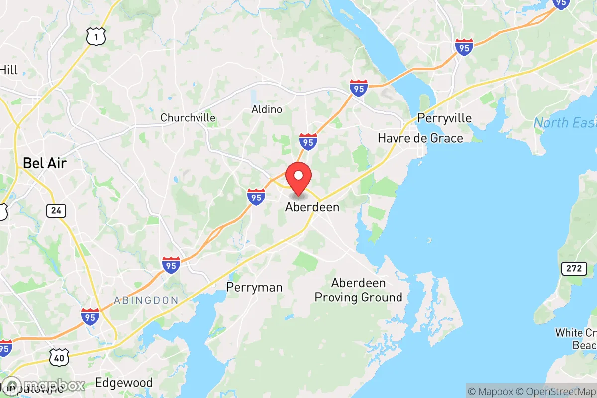
Demographics of Aberdeen, MD
Affluence Level in Aberdeen, MD
A middle-class area roughly in line with national averages across income, home values, education, and employment.
People of Aberdeen, MD
The people of Aberdeen, Maryland today form a predominantly working- and middle-class community of 16,831 residents, characterized by a notable racial and ethnic diversity that reflects its history as a military and industrial hub. The city is denser than surrounding Harford County, with a population that is 51.4% White, 29.5% Black, 9.8% Hispanic, 1.4% Indian (subcontinent), and 1.1% East/Southeast Asian, alongside a foreign-born share of just 4.1%. Distinctive markers include a strong military-connected presence due to nearby Aberdeen Proving Ground, a modest college-educated rate of 25.6%, and a palpable sense of local identity rooted in the city’s historic downtown and its post-war suburban neighborhoods.
How the city was settled and grew
Aberdeen’s original population was drawn by agriculture and the railroad in the early 19th century. The town was formally established in 1830 around a stop on the Philadelphia, Wilmington and Baltimore Railroad, with early settlers being primarily of English and German stock who farmed the surrounding land. The first major demographic wave came with the establishment of the Aberdeen Proving Ground (APG) in 1917, which brought a surge of military personnel, civilian engineers, and support workers. This influx created the historic downtown Aberdeen district, centered on Bel Air Avenue and West Bel Air Avenue, where many of the original commercial buildings and worker housing still stand. A second wave during World War II saw the construction of the Oakington neighborhood (originally a housing project for APG workers), which attracted a mix of White and Black families from the rural South seeking defense jobs. By the 1950s, the city’s population was overwhelmingly White and native-born, with a small but established Black community concentrated in the St. John’s area near the historic St. John’s AME Church, founded in the late 1800s.
Modern era (post-1965)
After the 1965 Hart-Cellar Act, Aberdeen’s foreign-born population grew only modestly, reaching just 4.1% today, but domestic migration reshaped the city significantly. The 1970s and 1980s saw substantial Black in-migration from Baltimore and the Upper South, drawn by APG employment and affordable housing. This wave settled primarily in the Rogers Station neighborhood (a post-war subdivision east of the railroad tracks) and the Bush Chapel area, where Black homeownership rates rose steadily. Hispanic growth began in the 1990s, driven by construction and service jobs tied to APG expansion and the nearby I-95 corridor. Today, Hispanic residents (9.8%) are most concentrated in the South Aberdeen district around Route 40 and the Wheel Estates mobile home park, where many families work in landscaping, restaurants, and logistics. The East/Southeast Asian population (1.1%) and Indian-subcontinent population (1.4%) are small but visible, largely composed of military-affiliated professionals and engineers stationed at APG, with clusters in the Briarwood and Greenbrier subdivisions built in the 2000s. The White population, which was over 80% in 1970, has declined to 51.4% as older generations aged out and younger families moved to newer suburbs like Bel Air and Churchville.
The future
Aberdeen’s population is likely to continue its gradual diversification, but at a slower pace than the national average. The foreign-born share (4.1%) is below the Maryland state average (15.1%), suggesting limited new immigration. The Hispanic share (9.8%) is growing steadily through natural increase and continued in-migration from Central America, with the South Aberdeen and Wheel Estates areas likely to see further concentration. The Black population (29.5%) appears stable, with younger Black families increasingly moving to newer subdivisions like Briarwood rather than the older Rogers Station core. The White population will likely continue a slow decline as older residents pass away and few new White families move in, though APG’s military rotation ensures a steady stream of temporary White residents. The city is not tribalizing into stark enclaves—most neighborhoods are moderately mixed—but South Aberdeen is becoming more distinctly Hispanic, while Rogers Station remains predominantly Black. The college-educated rate (25.6%) is low for the region, and without a major employer shift, Aberdeen will remain a blue-collar, military-adjacent community.
For someone moving in now, Aberdeen is becoming a more diverse, stable, and modestly growing city where military and industrial roots still define daily life. The population is not homogenizing but rather settling into a multi-ethnic, working-class character with distinct neighborhood identities. New residents should expect a community where APG employment, affordable housing, and a pragmatic, family-oriented culture dominate—and where the demographic future is one of slow, organic change rather than rapid transformation.
* Values derived from national, state, county, city and local statistics and may differ in a specific area. Last updated: 2026-04-22T04:01:32.000Z
Narrative content on this page is AI-generated and may contain mistakes. Verify any details that matter before acting on them.
ReloMaps may earn a commission from affiliate links at no extra cost to you.