Photo: Wikipedia
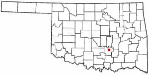
Strategic Assessment of Ada, OK
Workable tactical position. Some exposure to population density or targets, but generally defensible in a crisis.
What does the Strategic Assessment tell us?
Our Strategic Assessment grades tactical survivability of an area. Major population centers, military targets, fallout zones, natural disasters, and border exposure all drive risk — lower exposure means a more defensible position in a crisis.
This is heavily inspired by Joel Skousen's Strategic Relocation book. Highly recommended you checkout the book ($)What does this tell us?
Our Strategic Assessment grades tactical survivability of an area. Major population centers, military targets, fallout zones, natural disasters, and border exposure all drive risk — lower exposure means a more defensible position in a crisis.
This is heavily inspired by Joel Skousen's Strategic Relocation book. Highly recommended you checkout the book ($)Strategic Pillars

Key Distances
Regional Safe Places
Below is our recommended "safe zones" in Oklahoma and the surrounding area based on our strategic heuristics. For most people, it's unrealistic to live in a “safe zone” full-time due to work, family or other personal reasons. They tend to be more rural. However, many of these areas are perfect for second homes and retreat properties that double as a vacation home or even a short-term rental.
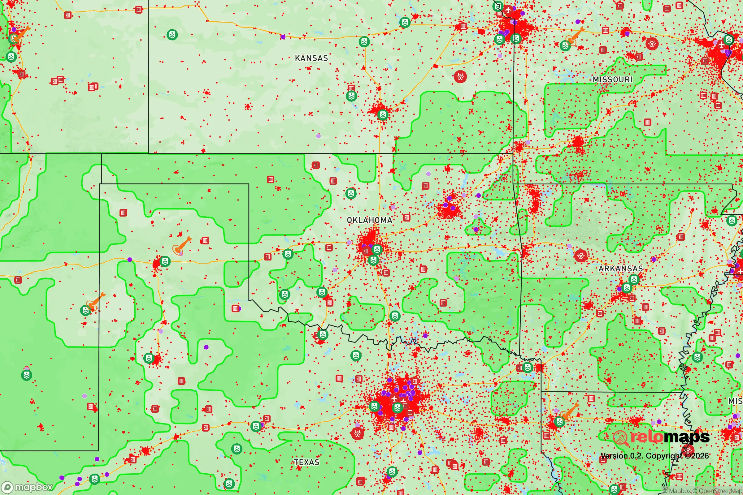
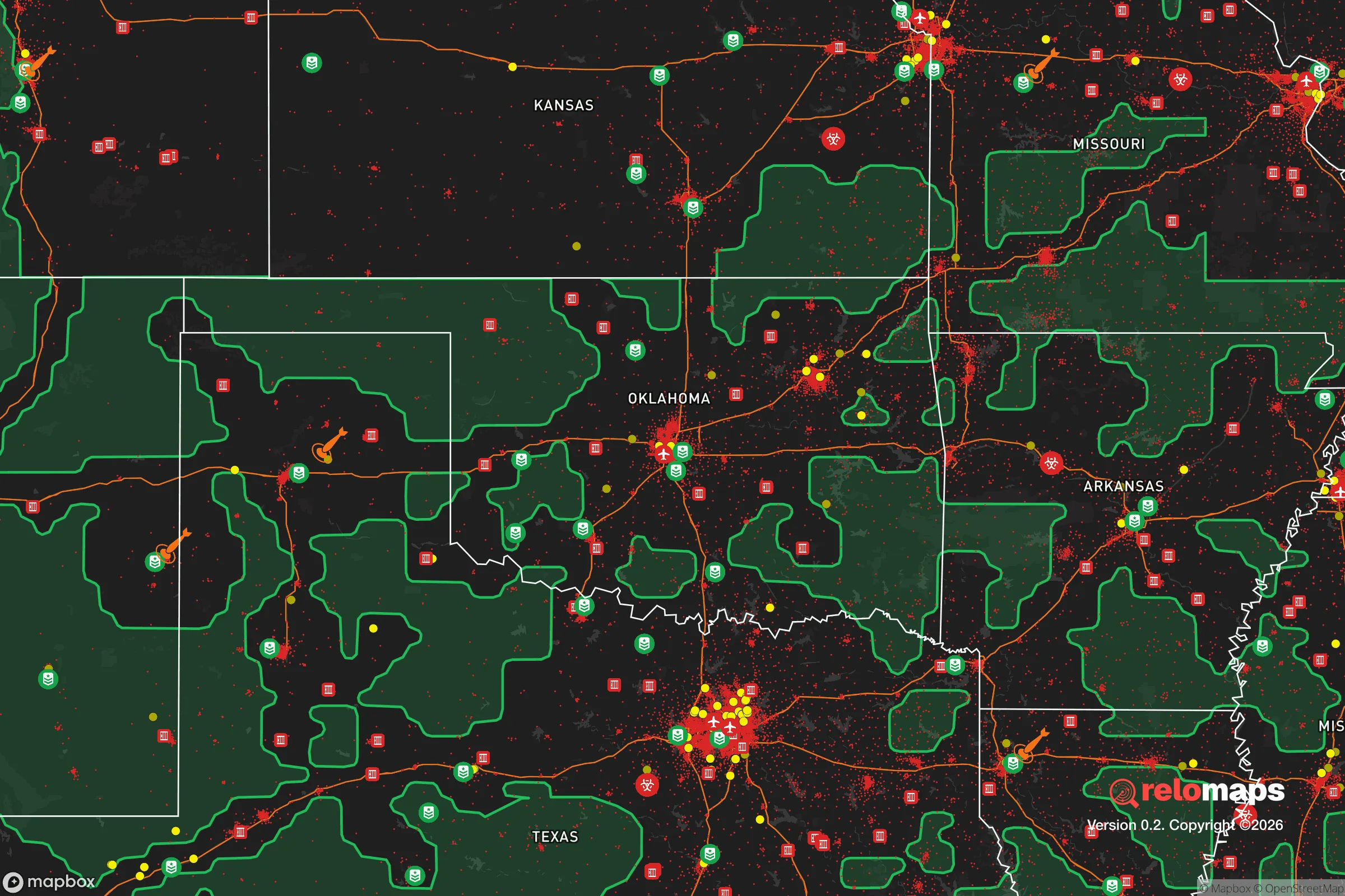
Important Note: For informational purposes only. This does not mean nothing bad ever happens in the green zones. Please use common sense. This is based on public data and modeled with AI. We tried to take a conservative approach but mistakes happen. We update this regularly as new information becomes available.
Solar Generator Recommendations
Backup power matters more here than in safer locations. We've picked three solar generators across budgets and capacity tiers — start with the budget unit if you only need a few essentials, or step up if you want to run a fridge and HVAC for days at a time.

Jackery Portable Power Station Explorer 300
Budget OptionPower on the Go: Weighing only 11 lbs, it's convenient to set up and store with book-sized foldable solar panels

BLUETTI Portable Power Station AC180
Designed for both indoor and outdoor scenarios, AC180 is highly capable as it has a robost capacity and continuous output power.

EF ECOFLOW DELTA Pro Ultra Power Station
Upgraded PickEcoFlow DELTA Pro Ultra is a whole-home energy system designed to grow with your family. Integrated with the Smart Home Panel 2, it scales to meet your evolving energy needs — keeping your home powered, intelligent, and secure through every stage of life.
We earn a commission, at no additional cost to you.
Strategic Assessment Analysis
Ada, Oklahoma, presents a mixed bag for the strategic relocator with a prepper mindset. While it offers genuine advantages in terms of geographic isolation and a conservative, self-reliant culture, it is not without significant vulnerabilities that demand careful consideration. The town’s resilience is rooted in its position as a regional hub for healthcare and education, but its proximity to a major interstate and a key military installation introduces risks that a serious survivalist must weigh. For a single individual or family looking to weather civic unrest or societal disruption, Ada offers a foundation, but it requires active preparation, not passive reliance.
Geographic position and natural advantages for long-term security
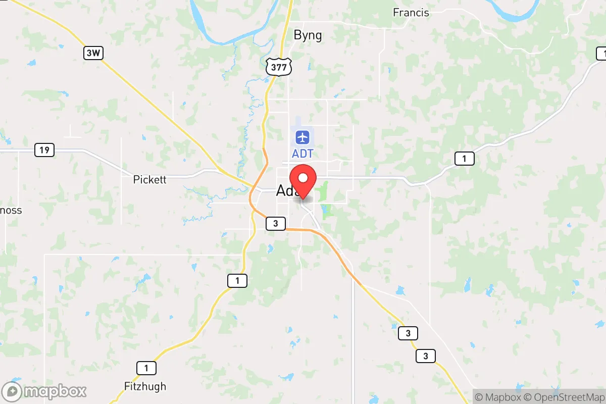
Ada sits in Pontotoc County, roughly 90 miles southeast of Oklahoma City and 120 miles north of the Dallas-Fort Worth metroplex. This distance from major population centers is a double-edged sword. On one hand, it places you far enough from the immediate chaos of a major city collapse—think mass casualty events or civil unrest—to buy you precious reaction time. The terrain is rolling hills and mixed hardwood forest, part of the Cross Timbers region, which offers decent cover and natural resources. The area is not prone to earthquakes, hurricanes, or wildfires at the scale seen in other parts of the country, though tornadoes are a real seasonal threat. The local water table is generally reliable, with the nearby Blue River and several smaller creeks providing surface water sources, though you should never assume these are uncontaminated. The climate is temperate, with hot summers and cold winters, allowing for year-round gardening if you use season-extending techniques. The soil in the surrounding rural areas is workable for small-scale agriculture, a key advantage for food security. Ada’s position as the county seat also means it has a stable local government and a hospital—Chickasaw Nation Medical Center—that is a genuine asset for medical emergencies, including trauma care, which is rare for a town of its size (roughly 17,000).
Risks, exposures, and proximity to fallout-relevant landmarks
The most glaring vulnerability for Ada is its proximity to Interstate 35, a major north-south corridor that runs about 50 miles to the west. In a crisis, I-35 would become a funnel for refugees fleeing the Dallas-Fort Worth metroplex (population 8 million) and Oklahoma City. That flow of desperate people could easily spill east toward Ada, especially if smaller towns along the highway become overwhelmed. More concerning is the McAlester Army Ammunition Plant, roughly 60 miles east, which stores and processes conventional munitions. While not a nuclear target, a major accident or sabotage event there could produce a significant explosion and toxic release. Additionally, Ada is within 150 miles of Tinker Air Force Base near Oklahoma City, a key strategic asset that could be a target in a broader conflict. A conventional strike or even a dirty bomb event at Tinker would send fallout and panic across the region. The town itself has no major industrial hazards, but the local rail lines carry freight, including hazardous materials, through the area. For the prepper, the risk is not direct attack but the secondary effects of a collapse: mass migration, resource competition, and potential civil unrest as refugees push into smaller towns. Ada’s population is relatively homogeneous and conservative, which can be a stabilizing factor, but it also means the community may be less prepared for a sudden influx of outsiders.
Practical resilience for a relocator: food, water, energy, and defensibility
For a relocator serious about self-sufficiency, Ada offers a workable baseline. Food security is feasible: the surrounding county has working farms and ranches, and the local farmers’ market operates seasonally. You can raise chickens, goats, or a small garden on a few acres within a 15-minute drive of town. The water situation is decent—the city water comes from the Ada Reservoir and Byrds Mill Spring, but a prepper should have a well or a rainwater catchment system. The local geology supports shallow wells in many areas, and the annual rainfall of about 40 inches is enough for rain barrels. Energy resilience is a weak point. The grid is standard, and outages from storms are common. Solar is viable, but you’ll need battery storage and a backup generator for winter. Natural gas is available in town, but rural properties often rely on propane. For defensibility, Ada itself is not a fortress. It’s a spread-out town with multiple entry points. The best strategy is to secure a rural property on a dead-end road or a ridge with good visibility, ideally with a creek or pond for water. The local sheriff’s office is professional but small; in a breakdown, you are your own first responder. The community is armed—Oklahoma has constitutional carry—and there is a strong hunting culture, which means neighbors are generally capable. However, the town’s economy is tied to East Central University and the medical center, which could become liabilities if those institutions become targets or sources of unrest.
The overall strategic picture for Ada is one of cautious viability. It is not a hardened bunker location, nor is it a high-risk urban zone. For a conservative-leaning individual or family who wants to be prepared for civic unrest, mass casualty events, or a slow-rolling societal decline, Ada offers a reasonable middle ground: enough isolation to avoid the initial shockwave, enough infrastructure to support a transition to self-reliance, and a cultural environment that values preparedness and community. The key is to treat Ada as a base of operations, not a final destination. You need to build relationships with local farmers, stockpile supplies for at least three months, and have a plan for securing your property against the inevitable pressure from the I-35 corridor. If you are willing to put in the work—digging a well, planting a garden, learning to hunt, and networking with like-minded locals—Ada can serve as a solid anchor. But if you are looking for a place where you can simply ride out the storm without effort, this is not it. The town’s greatest strength is its people; its greatest weakness is its location relative to the chaos that will come from the cities. Prepare accordingly.
* Values derived from national, state, county, city and local statistics and may differ in a specific area. Last updated: 2026-04-21T19:40:24.000Z
Narrative content on this page is AI-generated and may contain mistakes. Verify any details that matter before acting on them.
ReloMaps may earn a commission from affiliate links at no extra cost to you.