Photo: Wikipedia
Strategic Assessment of Houston County
Workable tactical position. Some exposure to population density or targets, but generally defensible in a crisis.
What does the Strategic Assessment tell us?
Our Strategic Assessment grades tactical survivability of an area. Major population centers, military targets, fallout zones, natural disasters, and border exposure all drive risk — lower exposure means a more defensible position in a crisis.
This is heavily inspired by Joel Skousen's Strategic Relocation book. Highly recommended you checkout the book ($)What does this tell us?
Our Strategic Assessment grades tactical survivability of an area. Major population centers, military targets, fallout zones, natural disasters, and border exposure all drive risk — lower exposure means a more defensible position in a crisis.
This is heavily inspired by Joel Skousen's Strategic Relocation book. Highly recommended you checkout the book ($)Strategic Pillars

Key Distances
Strategic Assessment Analysis
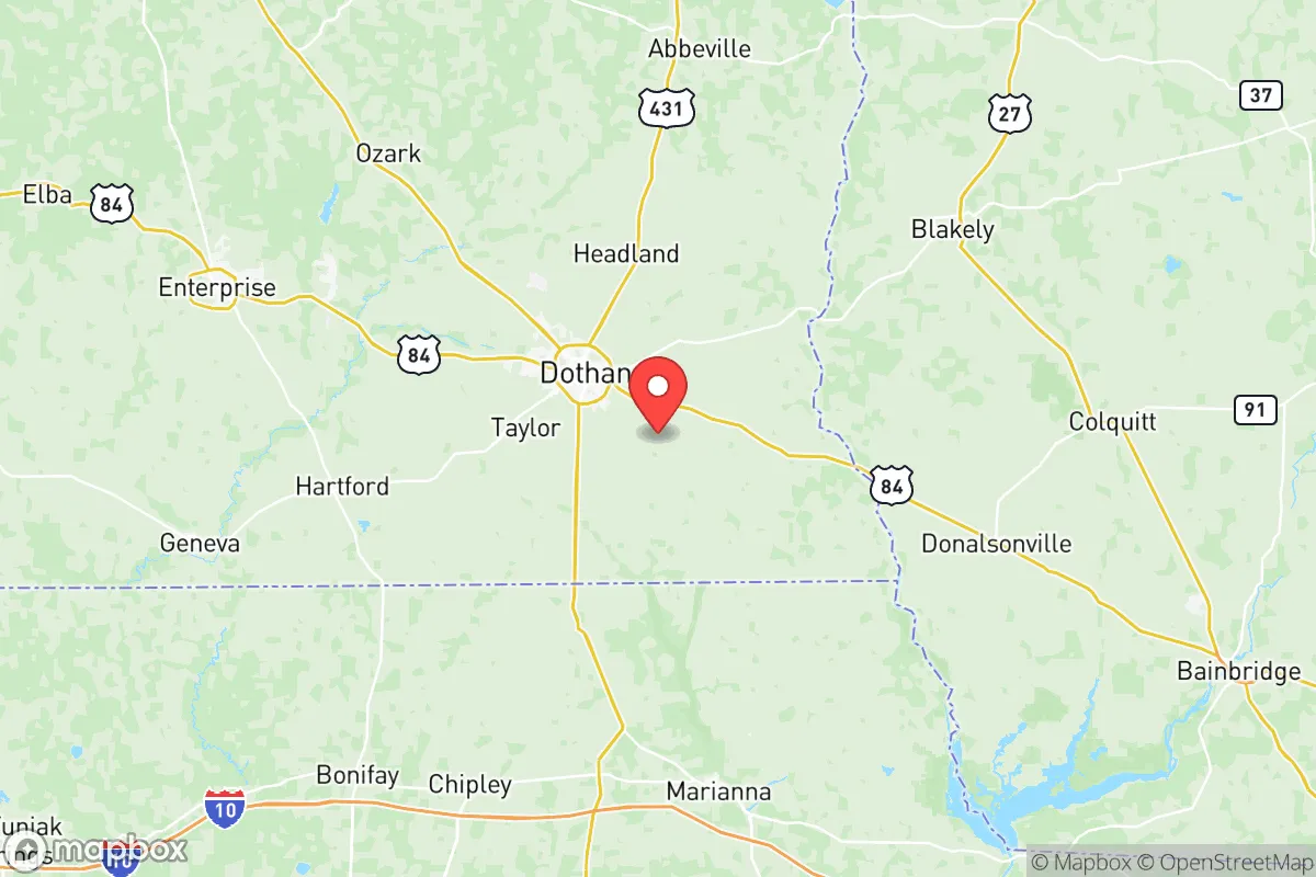
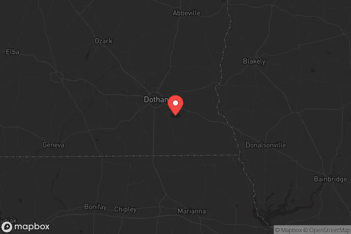
Houston County, Alabama, sits in a sweet spot that few relocators fully appreciate: close enough to the Gulf Coast for logistical access but far enough inland to dodge the worst of hurricane storm surge and the chaos of a major metropolitan collapse. The county seat, Dothan, anchors the region as a mid-sized city with roughly 70,000 residents, but the surrounding rural landscape offers the kind of buffer that matters when you're thinking about long-term stability. For a conservative-leaning individual or family looking at strategic relocation, this area presents a mix of genuine resilience and real trade-offs that deserve a hard look.
Geographic position and natural advantages for long-term stability
Houston County's location is its strongest card. It sits in the southeastern corner of Alabama, roughly 80 miles from the Florida Panhandle and 90 miles from the Gulf of Mexico. That puts it outside the typical hurricane strike zone for catastrophic wind damage—most storms weaken significantly by the time they push this far inland. The terrain is gently rolling, not flood-prone like the Black Belt to the west, and the soils are sandy loam that drain well, which matters if you're planning any kind of food production. The climate is humid subtropical, with a growing season that stretches from March to November—long enough for two crop cycles in a good year. Water is abundant: the Chattahoochee River forms the eastern border, and the Choctawhatchee River runs through the western part of the county. The Floridan Aquifer sits underneath, providing reliable groundwater at depths of 100 to 300 feet, which is manageable for private wells. For a prepper mindset, that combination—arable land, reliable water, and a long growing season—is the foundation of any serious self-sufficiency plan.
Risks, exposures, and proximity to fallout-relevant landmarks
No place is immune to risk, and Houston County has its share. The most obvious concern is Dothan itself. While it's not a major city by national standards, it's the regional hub for the Wiregrass region, with a population that swells during the workday. That means it's a target for any scenario involving civil unrest or supply chain disruption—crowds will converge on grocery stores, gas stations, and hospitals. The county is also within 100 miles of Fort Novosel (formerly Fort Rucker), the Army's primary aviation training base. That's a double-edged sword: it brings a military presence and some level of security infrastructure, but it also makes the area a potential secondary target in a conflict scenario. The Dothan Regional Airport is a joint-use civilian-military facility, which could become a focal point for evacuation or logistics in a crisis—or a liability if it's compromised. On the industrial side, there's a Chemours plant near the Houston-Henry county line that handles titanium dioxide production, and a PowerSouth Energy generating station in the county. Neither is a Chernobyl-level risk, but any chemical or industrial facility becomes a concern if grid power fails and safety systems degrade. The biggest strategic negative is proximity to the I-10 corridor, which runs about 50 miles south. That highway is a major east-west evacuation route and supply line; in a national emergency, it could become clogged with refugees or military traffic, and the ripple effects would reach Dothan within hours.
Practical resilience for a relocator: food, water, energy, and defensibility
For someone serious about self-reliance, Houston County offers a workable baseline. Water is the first priority, and the county's groundwater access is excellent. A private well drilled to 200 feet will typically yield 20-30 gallons per minute, more than enough for a household and garden. The county's rural areas are not on municipal water, so a well is standard—not a special project. For food, the growing season is long enough for warm-weather staples like corn, beans, squash, and sweet potatoes, plus cool-season crops in early spring and late fall. The local soil pH runs slightly acidic (5.5 to 6.5), which is fine for most vegetables with a little amendment. Hunting is viable: white-tailed deer, wild hogs, and turkey are abundant in the county's wooded areas, and the Houston County Wildlife Management Area near the Chattahoochee offers public access. For energy, solar is a realistic option—the area averages about 5.2 peak sun hours per day, which is decent for the Southeast. Grid reliability is average for rural Alabama, meaning occasional outages during thunderstorms but nothing like the chronic failures seen in coastal or mountain regions. Defensibility is where the county gets mixed marks. The terrain is mostly flat to gently rolling, with no natural chokepoints like mountain passes or river crossings that are easy to control. The rural areas are spread out, which works in your favor—low population density means fewer people to compete with for resources. But it also means law enforcement response times can be 20-30 minutes in the far reaches of the county. The Gordon area (south of Dothan) and the Webb and Cottonwood communities offer more isolation, with larger parcels of land and fewer through roads. If you're looking for a place that's not on anyone's radar, those are the pockets to investigate.
The overall strategic picture for Houston County is one of moderate resilience with clear limitations. It's not a bug-out paradise—there's no mountain redoubt, no remote valley with a single road in. What it offers is a solid, defensible baseline in a region that's politically and culturally aligned with conservative values, with enough agricultural capacity and water access to support a family through a prolonged disruption. The risks are real: proximity to a military base, a regional airport, and an industrial plant, plus the shadow of the I-10 corridor. But those risks are manageable if you choose your specific location carefully—away from Dothan's sprawl, away from the major highways, and on land with a good well and room to garden. For a relocator who wants to be prepared without going full off-grid, Houston County is worth a serious look. Just don't expect it to stay quiet if the rest of the country goes sideways.
* Values derived from national, state, county, city and local statistics and may differ in a specific area. Last updated: 2026-05-08T22:47:32.000Z
Narrative content on this page is AI-generated and may contain mistakes. Verify any details that matter before acting on them.
ReloMaps may earn a commission from affiliate links at no extra cost to you.