
Photo: Wikipedia
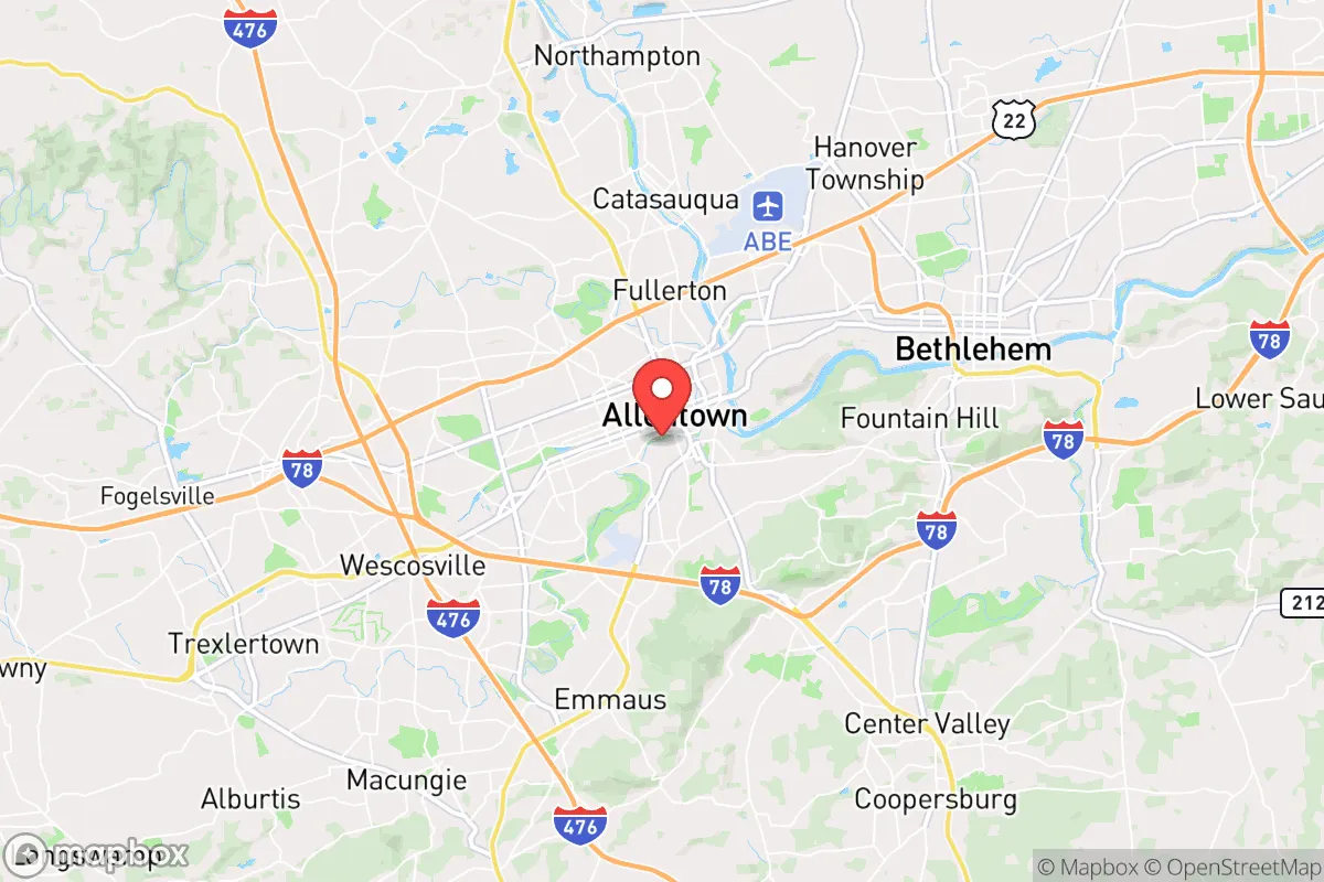
Strategic Assessment of Allentown, PA
Multiple tactical vulnerabilities. Population density, target proximity, or disaster risk are likely compounding. A retreat property and exit planning is required.
What does the Strategic Assessment tell us?
Our Strategic Assessment grades tactical survivability of an area. Major population centers, military targets, fallout zones, natural disasters, and border exposure all drive risk — lower exposure means a more defensible position in a crisis.
This is heavily inspired by Joel Skousen's Strategic Relocation book. Highly recommended you checkout the book ($)What does this tell us?
Our Strategic Assessment grades tactical survivability of an area. Major population centers, military targets, fallout zones, natural disasters, and border exposure all drive risk — lower exposure means a more defensible position in a crisis.
This is heavily inspired by Joel Skousen's Strategic Relocation book. Highly recommended you checkout the book ($)Strategic Pillars

Key Distances
Regional Safe Places
Below is our recommended "safe zones" in Pennsylvania and the surrounding area based on our strategic heuristics. For most people, it's unrealistic to live in a “safe zone” full-time due to work, family or other personal reasons. They tend to be more rural. However, many of these areas are perfect for second homes and retreat properties that double as a vacation home or even a short-term rental.


Important Note: For informational purposes only. This does not mean nothing bad ever happens in the green zones. Please use common sense. This is based on public data and modeled with AI. We tried to take a conservative approach but mistakes happen. We update this regularly as new information becomes available.
Solar Generator Recommendations
Backup power matters more here than in safer locations. We've picked three solar generators across budgets and capacity tiers — start with the budget unit if you only need a few essentials, or step up if you want to run a fridge and HVAC for days at a time.

Jackery Portable Power Station Explorer 300
Budget OptionPower on the Go: Weighing only 11 lbs, it's convenient to set up and store with book-sized foldable solar panels

BLUETTI Portable Power Station AC180
Designed for both indoor and outdoor scenarios, AC180 is highly capable as it has a robost capacity and continuous output power.

EF ECOFLOW DELTA Pro Ultra Power Station
Upgraded PickEcoFlow DELTA Pro Ultra is a whole-home energy system designed to grow with your family. Integrated with the Smart Home Panel 2, it scales to meet your evolving energy needs — keeping your home powered, intelligent, and secure through every stage of life.
We earn a commission, at no additional cost to you.
Strategic Assessment Analysis
Allentown, Pennsylvania, sits in a precarious strategic pocket: close enough to major East Coast population centers to offer economic opportunity, but far enough to provide a buffer against the immediate chaos of a metropolitan collapse. Its location in the Lehigh Valley, roughly 60 miles north of Philadelphia and 90 miles west of New York City, places it within a potential fallout zone from those urban cores, yet its position along the Lehigh River and near the Appalachian Mountains gives it natural chokepoints and defensible terrain. For the conservative prepper or survivalist, Allentown presents a mixed bag—real advantages in water and food access, but serious exposure to the ripple effects of coastal disasters, civil unrest, or mass casualty events.
Geographic position and natural advantages for long-term survival
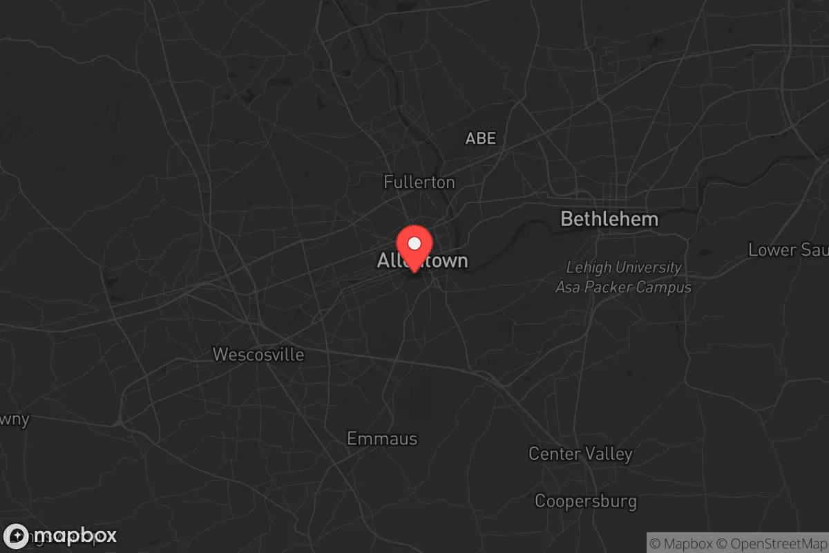
The Lehigh Valley’s geography is its strongest card. Allentown sits in a valley flanked by the Blue Mountain ridge to the north and South Mountain to the south, creating a natural funnel that limits approach vectors for any large-scale movement—whether that’s a displaced population fleeing a coastal event or organized groups moving through the region. The Lehigh River runs through the city, providing a reliable surface water source, and the surrounding countryside is dotted with small farms, woodlots, and rural towns like Emmaus and Macungie that could serve as resupply or retreat points. The area’s elevation, around 300 to 400 feet above sea level, keeps it out of most flood zones while still offering good drainage. The proximity to the Appalachian Trail corridor, which runs just north of the city, gives a potential escape route into the more remote forests of Carbon and Schuylkill counties. For a relocator thinking in terms of weeks or months of self-sufficiency, the Lehigh Valley’s agricultural output is a real asset—Lehigh and Northampton counties together have over 1,200 farms, producing corn, soybeans, dairy, and poultry. That’s not just a nice-to-have; it’s a buffer against supply chain disruptions that would hit urban areas first.
Risks, exposures, and proximity to fallout-relevant landmarks
The downsides are significant and cannot be ignored. Allentown’s location within the I-78 and I-476 corridors means it’s a natural evacuation route for anyone fleeing Philadelphia or New York in a crisis. In a mass casualty event or civil unrest scenario, those highways would become clogged with refugees, creating choke points and potential conflict zones. The city itself has a population of about 125,000, but the broader Lehigh Valley metro area pushes 700,000—that’s a lot of people competing for the same resources. There are also specific fallout-relevant landmarks within a 50-mile radius: the Limerick Generating Station (a nuclear power plant) is about 40 miles southeast, and the Susquehanna Steam Electric Station is about 70 miles northwest. While neither is an immediate blast risk, a containment failure or sabotage event could send a plume across the valley depending on wind patterns. Additionally, Allentown’s industrial history means there are legacy brownfield sites and chemical storage facilities along the Lehigh River—think old steel mills and rail yards—that could become secondary hazards in a disaster. The city’s own water treatment plant and electrical substations are vulnerable to targeted disruption, and the reliance on the regional power grid means a cyberattack or EMP event would knock out everything from pumps to refrigeration within hours.
Practical resilience for a relocator: food, water, energy, and defensibility
For someone serious about prepping, Allentown offers a workable base if you’re willing to put in the legwork. Water is the easiest win: the Lehigh River is year-round and flows through the city, but you’ll need a good filtration system—think Berkey or a Sawyer filter—because upstream agricultural runoff and old industrial contaminants are real. The city’s municipal water comes from the Lehigh River and is treated, but in a grid-down scenario, that treatment stops. Rainwater collection is viable, with the area averaging about 45 inches of precipitation annually. Food is where the valley shines: within a 20-minute drive, you’ve got dozens of farm stands, u-pick operations, and Amish markets in places like Kutztown and Fleetwood. Stockpiling is straightforward if you have space, but the real play is establishing relationships with local farmers before a crisis hits—they’ll remember who showed up with cash and a handshake. Energy is trickier. The grid is old and prone to outages from storms (ice storms in winter, thunderstorms in summer). Solar is viable, but the valley’s tree cover and occasional cloudy stretches mean you’ll want a generator backup—preferably a dual-fuel unit that can run on propane or gasoline. Defensibility is mixed. A suburban home in Allentown’s West End or a rural property in nearby Lower Macungie Township offers better standoff distance than a rowhouse in the city center. The key is to avoid being on a main evacuation route—stay off Cedar Crest Boulevard and Hamilton Street if things go sideways. The Blue Mountain ridge to the north provides a natural barrier, but it also funnels movement through a few passes (like the Lehigh Gap), which could become contested zones.
The overall strategic picture for Allentown is one of calculated risk. It’s not a remote bunker location—you’re still within a day’s walk of 20 million people in the Northeast Corridor, and that proximity is a double-edged sword. The advantages in water, food, and natural terrain are real, but they come with exposure to the fallout from coastal disasters, civil unrest, and mass casualty events that would cascade inland. For a conservative relocator who values community and economic opportunity but wants a fighting chance at self-sufficiency, Allentown works as a staging ground—not a final redoubt. The smart play is to treat it as a base for building relationships and stockpiling, while identifying a secondary retreat further into the Appalachian foothills (think Potter or Tioga counties) for when the SHTF. If you’re willing to put in the work on water filtration, energy backup, and local networking, the Lehigh Valley can sustain you through the first few months of a crisis. Just don’t expect to ride it out in comfort—this is a place for the prepared, not the complacent.
* Values derived from national, state, county, city and local statistics and may differ in a specific area. Last updated: 2026-05-02T01:09:54.000Z
Narrative content on this page is AI-generated and may contain mistakes. Verify any details that matter before acting on them.
ReloMaps may earn a commission from affiliate links at no extra cost to you.