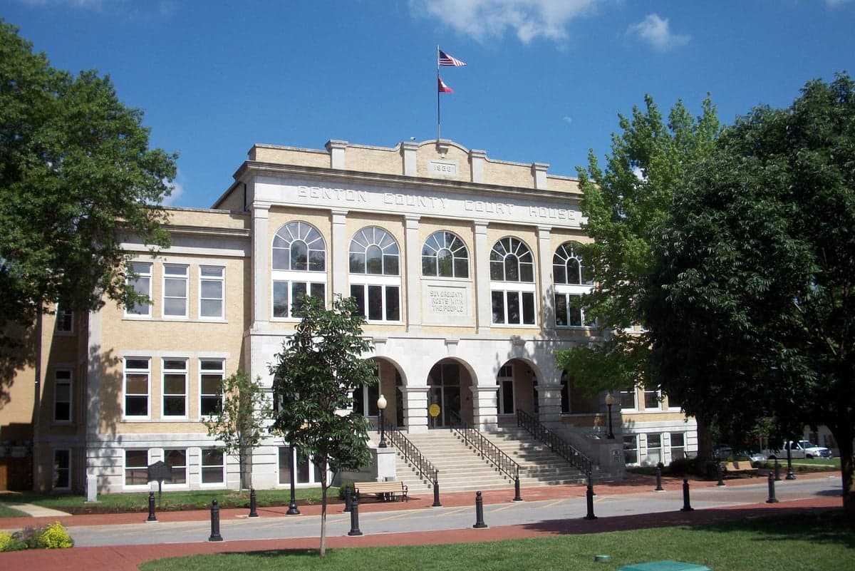
Photo: Wikipedia
Strategic Assessment of Benton County
Workable tactical position. Some exposure to population density or targets, but generally defensible in a crisis.
What does the Strategic Assessment tell us?
Our Strategic Assessment grades tactical survivability of an area. Major population centers, military targets, fallout zones, natural disasters, and border exposure all drive risk — lower exposure means a more defensible position in a crisis.
This is heavily inspired by Joel Skousen's Strategic Relocation book. Highly recommended you checkout the book ($)What does this tell us?
Our Strategic Assessment grades tactical survivability of an area. Major population centers, military targets, fallout zones, natural disasters, and border exposure all drive risk — lower exposure means a more defensible position in a crisis.
This is heavily inspired by Joel Skousen's Strategic Relocation book. Highly recommended you checkout the book ($)Strategic Pillars

Key Distances
Strategic Assessment Analysis
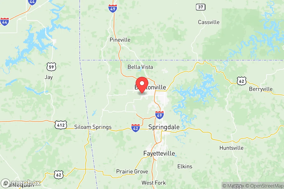
Benton County, Arkansas, occupies a strategic position in the Ozark foothills that offers a compelling blend of natural defensibility and access to regional resources, making it a serious contender for relocation-minded individuals and families prioritizing resilience. The county’s anchor cities—Bentonville, Rogers, Springdale, and Siloam Springs—form the heart of the rapidly growing Northwest Arkansas (NWA) metro area, yet the county retains significant rural and wooded terrain that provides both buffer and opportunity. Its location roughly 60 miles east of the Oklahoma border and 40 miles south of Missouri places it within a day’s drive of multiple major population centers, including Tulsa, Kansas City, and Memphis, while remaining far enough from the highest-risk coastal and industrial zones to offer a meaningful safety margin.
Geographic position and natural advantages for long-term security
Benton County sits at the southern edge of the Ozark Plateau, a region characterized by rolling hills, limestone bluffs, and dense hardwood forests that naturally limit large-scale development and provide inherent defensibility. The county’s elevation ranges from roughly 1,100 to 1,500 feet above sea level, which places it well above the flood-prone lowlands of the Arkansas River Valley and the Mississippi Delta. This elevation also reduces the risk of storm surge or hurricane-related flooding, a significant advantage over coastal or Gulf-adjacent relocation targets. The area is part of the Boston Mountains ecosystem, which supports abundant wildlife—deer, turkey, and small game—and offers ample opportunities for hunting, foraging, and sustainable land management. The county’s numerous spring-fed creeks and rivers, including the Illinois River and Osage Creek, provide reliable surface water sources, though access varies by parcel. The presence of the Ozark National Forest to the east and the Cherokee Nation’s vast rural tracts to the west further buffers the county from urban sprawl and creates a natural corridor for movement or retreat if needed.
Risks, exposures, and proximity to fallout-relevant landmarks
While Benton County avoids the highest-risk categories for natural disasters, it is not immune to hazards. The region lies within Tornado Alley’s southern extension, and severe thunderstorms capable of producing EF-2 or stronger tornadoes occur with moderate frequency—typically 2-4 significant tornado warnings per year. The county’s hilly terrain can mitigate some wind effects but also creates localized flash-flood risks in low-lying areas near creeks and drainage basins. Wildfire risk is low to moderate, primarily affecting rural properties with heavy brush and limited road access. From a man-made risk perspective, Benton County’s most significant exposure is its proximity to the John H. Tyson Center in Springdale, a major food-processing facility that handles large volumes of ammonia and other industrial chemicals. A catastrophic release or fire at this facility could affect downwind areas within a 5-10 mile radius. The county also lies roughly 120 miles northeast of Fort Chaffee, a former Army post and current training center near Fort Smith that occasionally handles munitions storage and demilitarization operations. More broadly, the county is about 200 miles from the Neosho, Missouri, munitions plant and 250 miles from the Arkansas Nuclear One power plant near Russellville—both within plausible fallout or evacuation zones depending on wind patterns and event severity. The presence of Interstate 49 running through the county’s core is a double-edged sword: it provides rapid evacuation routes north toward Missouri or south toward Fort Smith, but also makes the area a potential chokepoint for military or relief convoys during a crisis.
Practical resilience for a relocator: food, water, energy, and defensibility
For a relocator focused on self-sufficiency, Benton County offers a strong baseline but requires deliberate preparation. The region’s agricultural heritage is still visible, with working farms and ranches producing poultry, beef, and row crops like soybeans and corn. The Benton County Farmers Market in Bentonville and smaller markets in Rogers and Siloam Springs provide seasonal access to local produce, but year-round food security depends on private gardens, greenhouses, or relationships with local growers. The county’s water infrastructure is generally reliable, with the Beaver Water District supplying treated water from Beaver Lake to most municipalities. However, rural properties often rely on private wells, which can be vulnerable to drought or contamination from agricultural runoff. The Beaver Lake Dam, located just east of Rogers, is a critical piece of infrastructure; its failure—though unlikely—would threaten downstream communities and disrupt the region’s primary water supply. Energy resilience is mixed: the county is served by Southwest Electric Power Company and several rural cooperatives, but the grid is aging and prone to outages during ice storms or summer heat waves. Solar potential is good, with roughly 200 sunny days per year, and many rural properties already incorporate backup generators or battery systems. Defensibility is a strong point: the county’s topography—narrow valleys, steep ridges, and limited road networks in the eastern and southern portions—creates natural chokepoints that can be monitored or controlled. The Benton County Sheriff’s Office and local police departments maintain a visible presence, but response times in remote areas can exceed 20 minutes, making community-based security and situational awareness essential.
The overall strategic picture for Benton County is one of balanced opportunity and manageable risk. It avoids the extreme vulnerabilities of coastal, floodplain, or heavy-industrial zones while offering a genuine rural-urban mix that supports both community connection and self-reliance. The county’s growth—driven by Walmart’s headquarters in Bentonville and the broader NWA economic boom—has brought improved infrastructure, healthcare access, and supply-chain resilience, but also rising property values and increasing population density that could strain resources during a prolonged crisis. For a relocator willing to invest in land, water, and energy systems, Benton County provides a defensible, resource-rich base with enough distance from major fallout targets to offer a realistic survival advantage. The key is to act before the area’s growing popularity erodes the very advantages that make it attractive.

* Values derived from national, state, county, city and local statistics and may differ in a specific area. Last updated: 2026-09-25T06:28:37.000Z
Narrative content on this page is AI-generated and may contain mistakes. Verify any details that matter before acting on them.
ReloMaps may earn a commission from affiliate links at no extra cost to you.

