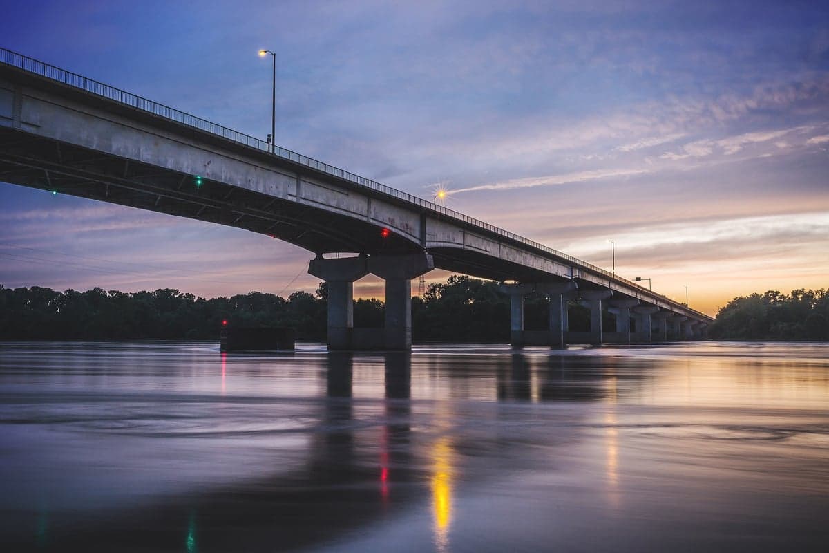
Photo: Wikipedia
Strategic Assessment of Sebastian County
Workable tactical position. Some exposure to population density or targets, but generally defensible in a crisis.
What does the Strategic Assessment tell us?
Our Strategic Assessment grades tactical survivability of an area. Major population centers, military targets, fallout zones, natural disasters, and border exposure all drive risk — lower exposure means a more defensible position in a crisis.
This is heavily inspired by Joel Skousen's Strategic Relocation book. Highly recommended you checkout the book ($)What does this tell us?
Our Strategic Assessment grades tactical survivability of an area. Major population centers, military targets, fallout zones, natural disasters, and border exposure all drive risk — lower exposure means a more defensible position in a crisis.
This is heavily inspired by Joel Skousen's Strategic Relocation book. Highly recommended you checkout the book ($)Strategic Pillars

Key Distances
Strategic Assessment Analysis
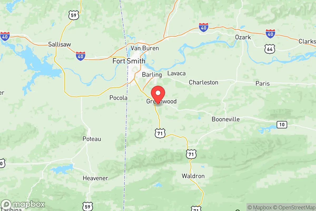
Sebastian County, anchored by the cities of Fort Smith and Greenwood, offers a compelling mix of geographic resilience and practical self-sufficiency for relocators prioritizing disaster readiness. Its position in the Arkansas River Valley, straddling the Oklahoma border, places it far from coastal hurricane zones, major seismic fault lines, and the sprawling urban corridors that present both logistical and fallout-related vulnerabilities. For a single individual or family thinking seriously about long-term stability, the county provides a defensible interior location with access to regional infrastructure, without the concentration of risks found in larger metropolitan areas.
Geographic position and natural advantages for long-term stability
Sebastian County sits at the crossroads of the Arkansas River and the foothills of the Ouachita Mountains, a topography that offers both natural barriers and resource access. The Arkansas River provides a reliable freshwater source, while the surrounding hills and forested terrain create natural chokepoints and reduce the likelihood of large-scale wildfire spread compared to drier western states. The county's location roughly 150 miles from the Dallas-Fort Worth metroplex and 170 miles from Oklahoma City means it is close enough to access major medical and supply hubs, yet far enough to avoid the immediate fallout zones and civil disruption associated with those population centers. The presence of the Fort Smith Regional Airport and Interstate 40 running through the county's northern edge ensures that evacuation or supply routes remain viable, though the interstate itself could become a liability during a mass exodus event. The nearby Ozark and Ouachita National Forests offer additional buffer zones and potential retreat areas, though they are not within the county itself.
Risks, exposures, and proximity to fallout-relevant landmarks
While Sebastian County avoids many coastal and seismic threats, it is not without strategic vulnerabilities. The most significant risk comes from its proximity to the Fort Chaffee Joint Maneuver Training Center, a large military installation located just east of Fort Smith. This facility, which has historically housed training exercises and emergency response operations, could become a target during a conflict or a focal point for military traffic during a national emergency. Additionally, the county lies within 200 miles of the Neosho and Seneca Army Ammunition Plants in Missouri and the McAlester Army Ammunition Plant in Oklahoma, all of which are potential fallout-relevant landmarks. The Arkansas River itself, while a water asset, also hosts barge traffic and industrial facilities, including a major coal-fired power plant near Fort Smith, which could pose secondary risks during a grid-down scenario. Tornado risk is moderate to high, with the county falling within the traditional Dixie Alley corridor; the 2011 Fort Smith tornado and the 2024 Greenwood tornado serve as recent reminders of the area's severe weather exposure. Flooding along the Arkansas River and its tributaries, particularly in low-lying areas of Fort Smith and Barling, is a recurring hazard that relocators should factor into property selection.
Practical resilience for a relocator: food, water, energy, and defensibility
For those focused on self-sufficiency, Sebastian County offers a mixed but generally favorable picture. The Arkansas River provides a substantial surface water source, though treatment and access are not universal; well water is common in rural areas like Greenwood, Hackett, and Hartford, and the water table is generally reliable. The county's agricultural base, including cattle ranching and row crops in the river valley, supports local food production, and the presence of the Fort Smith Farmers Market and multiple local farms means that fresh food is accessible even without a large grocery chain. Energy resilience is a stronger point: the county is served by the Arkansas Oklahoma Gas Corporation and Oklahoma Gas and Electric, but the prevalence of rural properties with propane tanks, wood-burning stoves, and solar panel installations is higher than in urbanized areas. The terrain around Greenwood and the southern part of the county offers defensible positions with good visibility and limited access points, making it more suitable for a retreat-style property than the flatter, more exposed areas near the river. The county's population density is low enough that a determined relocator can find acreage with privacy, but high enough that emergency services and supply chains remain functional. The presence of the Fort Smith Regional Health Center and multiple rural clinics provides a baseline for medical care, though trauma and specialist care would require travel to Little Rock or Tulsa.
The overall strategic picture for Sebastian County is one of moderate resilience with clear trade-offs. It avoids the catastrophic risks of coastal zones, major fault lines, and dense urban fallout corridors, while offering reliable water, decent agricultural potential, and a terrain that supports defensible living. The primary concerns are the military and industrial targets within striking distance, the tornado and flood hazards, and the potential for I-40 to become a liability during a regional evacuation. For a relocator who values interior positioning, access to the Arkansas River, and a community that balances rural self-sufficiency with small-city infrastructure, Sebastian County represents a solid, if not exceptional, choice. The key is to avoid the floodplains near the river and the immediate vicinity of Fort Chaffee, and to prioritize properties with independent water and energy systems. In a national emergency, this area would likely fare better than most, but it is not a guaranteed safe haven.

* Values derived from national, state, county, city and local statistics and may differ in a specific area. Last updated: 2026-08-08T12:33:11.000Z
Narrative content on this page is AI-generated and may contain mistakes. Verify any details that matter before acting on them.
ReloMaps may earn a commission from affiliate links at no extra cost to you.

