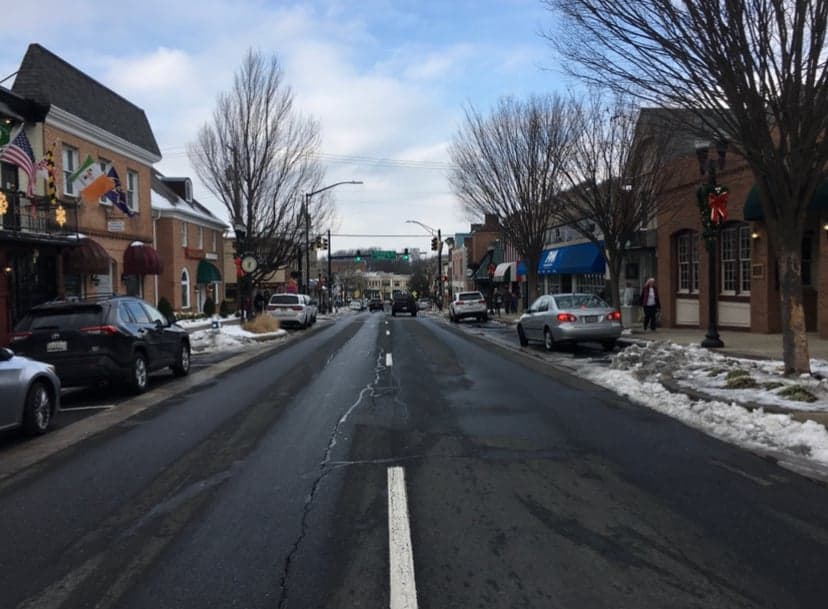
Photo: Wikipedia
Strategic Assessment of Bel Air, MD
Workable tactical position. Some exposure to population density or targets, but generally defensible in a crisis.
What does the Strategic Assessment tell us?
Our Strategic Assessment grades tactical survivability of an area. Major population centers, military targets, fallout zones, natural disasters, and border exposure all drive risk — lower exposure means a more defensible position in a crisis.
This is heavily inspired by Joel Skousen's Strategic Relocation book. Highly recommended you checkout the book ($)What does this tell us?
Our Strategic Assessment grades tactical survivability of an area. Major population centers, military targets, fallout zones, natural disasters, and border exposure all drive risk — lower exposure means a more defensible position in a crisis.
This is heavily inspired by Joel Skousen's Strategic Relocation book. Highly recommended you checkout the book ($)Strategic Pillars

Key Distances
Regional Safe Places
Below is our recommended "safe zones" in Maryland and the surrounding area based on our strategic heuristics. For most people, it's unrealistic to live in a “safe zone” full-time due to work, family or other personal reasons. They tend to be more rural. However, many of these areas are perfect for second homes and retreat properties that double as a vacation home or even a short-term rental.


Important Note: For informational purposes only. This does not mean nothing bad ever happens in the green zones. Please use common sense. This is based on public data and modeled with AI. We tried to take a conservative approach but mistakes happen. We update this regularly as new information becomes available.
Solar Generator Recommendations
Backup power matters more here than in safer locations. We've picked three solar generators across budgets and capacity tiers — start with the budget unit if you only need a few essentials, or step up if you want to run a fridge and HVAC for days at a time.

Jackery Portable Power Station Explorer 300
Budget OptionPower on the Go: Weighing only 11 lbs, it's convenient to set up and store with book-sized foldable solar panels

BLUETTI Portable Power Station AC180
Designed for both indoor and outdoor scenarios, AC180 is highly capable as it has a robost capacity and continuous output power.

EF ECOFLOW DELTA Pro Ultra Power Station
Upgraded PickEcoFlow DELTA Pro Ultra is a whole-home energy system designed to grow with your family. Integrated with the Smart Home Panel 2, it scales to meet your evolving energy needs — keeping your home powered, intelligent, and secure through every stage of life.
We earn a commission, at no additional cost to you.
Strategic Assessment Analysis
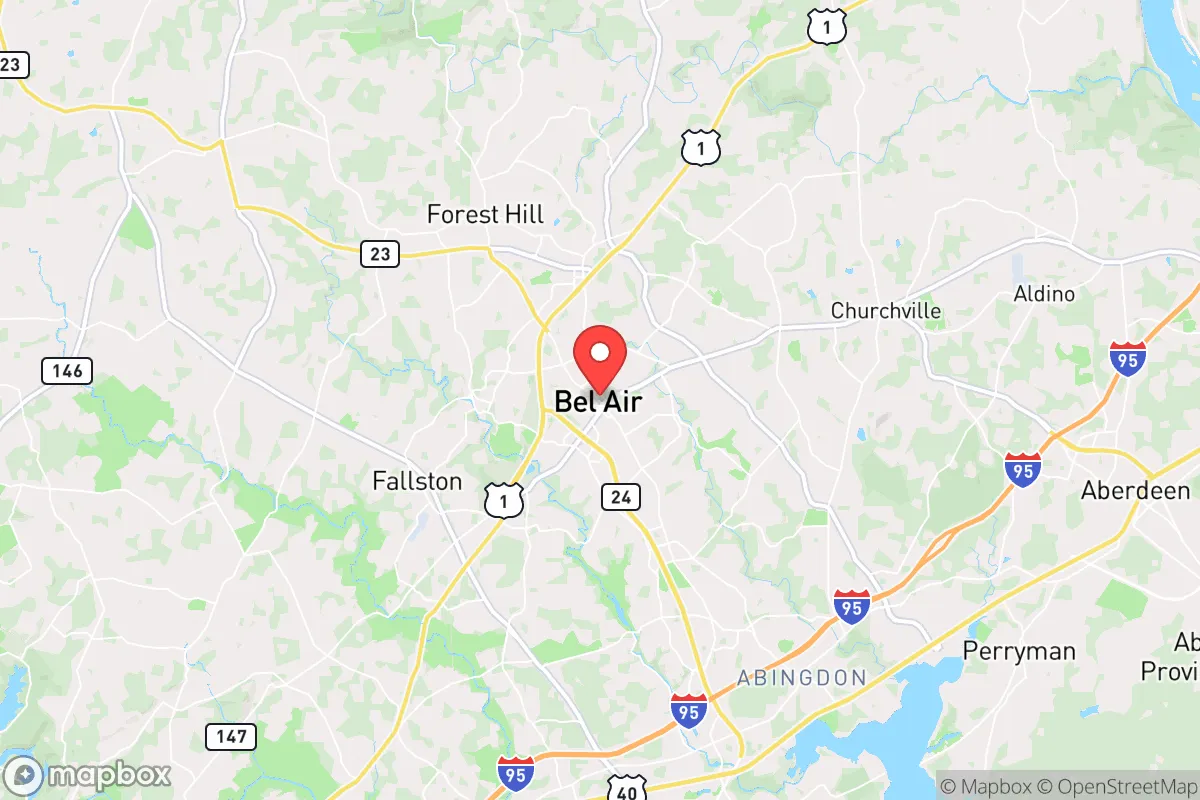
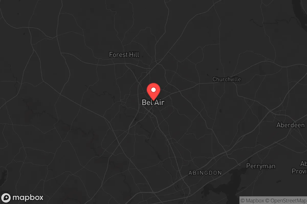
Bel Air, Maryland, sits in a precarious but potentially advantageous position for those prioritizing resilience and strategic relocation. As the seat of Harford County, this town of roughly 10,000 offers a blend of suburban stability and rural access that appeals to individuals and families looking to insulate themselves from the chaos of major urban centers while remaining within a reasonable distance of critical infrastructure. The area’s resilience hinges on its ability to leverage geographic buffers, local resources, and a community ethos that still values self-reliance—though proximity to Baltimore and the I-95 corridor introduces serious vulnerabilities that cannot be ignored.
Geographic position and natural advantages for long-term stability
Bel Air’s location in northern Maryland, roughly 25 miles northeast of Baltimore and 30 miles southwest of the Pennsylvania line, places it in a sweet spot for those seeking to avoid the immediate blast radius of a major city while still having access to supply chains and medical facilities. The town sits atop the Piedmont plateau, which provides slightly elevated terrain compared to the coastal plain—a minor but meaningful advantage for drainage, groundwater access, and avoiding flood risks from the Chesapeake Bay or Susquehanna River. The surrounding Harford County is characterized by rolling hills, mixed hardwood forests, and agricultural land, offering natural cover and potential for subsistence farming. The area’s water resources are notable: the Susquehanna River forms the county’s eastern border, and numerous smaller creeks and ponds dot the landscape, providing decentralized water sources that are less likely to be contaminated by a single event. Winters are moderate, with average snowfall around 20 inches, meaning cold-weather survival is manageable without extreme measures. The growing season runs roughly April through October, long enough for meaningful food production. For a relocator, this geography supports a “bug-in” strategy better than many suburban alternatives, provided you secure a property with well water and septic—municipal systems in the town center are a vulnerability if grid power fails.
Risks, exposures, and proximity to fallout-relevant landmarks
The most glaring risk for Bel Air is its proximity to Baltimore and the I-95 corridor, a primary artery for the Northeast megalopolis. In a scenario involving civil unrest, mass casualty events, or a coordinated attack, this highway becomes a funnel for refugees, looters, and military movements. Bel Air is also within 35 miles of the Aberdeen Proving Ground, a U.S. Army facility that tests weapons and munitions. While this base provides a potential security buffer and employment anchor, it also makes the area a target for any adversary seeking to disrupt military logistics. Additionally, the Peach Bottom Atomic Power Station sits just 15 miles north across the Susquehanna in Pennsylvania. A containment failure or sabotage event at this plant would place Bel Air within the plume exposure zone, requiring evacuation or shelter-in-place protocols. The town’s position relative to the Chesapeake Bay also means it could be affected by a port disruption or naval conflict in the bay, though the risk is lower than for coastal communities. On the positive side, Bel Air is far enough from Washington, D.C. (about 60 miles) to avoid the immediate fallout of a capital-centric event, and the terrain offers multiple secondary routes—like MD-24, US-1, and backroads through Forest Hill and Jarrettsville—that bypass the I-95 choke point. For a prepper, the key is to avoid the town center and instead secure a property in the northern or western parts of the county, where population density drops and escape routes multiply.
Practical resilience for a relocator: food, water, energy, and defensibility
For a single individual or family serious about self-sufficiency, Bel Air offers a mixed bag. The local food scene is dominated by chain grocery stores—Giant, Weis, and Walmart—which are vulnerable to supply chain disruptions. However, Harford County has a strong agricultural base, with dozens of farms selling produce, meat, and dairy directly. The Bel Air Farmers Market operates seasonally, and you can establish relationships with local growers for bulk purchases. For long-term food security, the soil quality in the surrounding area is decent for gardening, though you’ll need to amend it with compost and deal with deer pressure. Water is the bigger concern: if you’re on municipal supply, a single contamination event or pump failure leaves you dependent on bottled water. A well with a hand pump or solar-powered backup is non-negotiable for resilience. Energy-wise, the grid is typical for the region—aging but maintained. Solar panels are a viable investment, as the area gets about 200 sunny days per year, and net metering is available through BGE. For backup power, a generator with a buried propane tank is the standard recommendation, but consider a wood stove for heating, as firewood is abundant in the surrounding forests. Defensibility is where Bel Air’s suburban character becomes a liability. Standard subdivisions with cul-de-sacs and shared driveways offer poor tactical options. Instead, look for properties on the outskirts—ideally with a long driveway, tree cover, and a clear line of sight to the road. The local gun culture is strong, with several ranges and gun shops in the county, and Maryland’s firearm laws are restrictive but manageable for those who plan ahead. The Harford County Sheriff’s Office is generally professional and responsive, but in a widespread event, you cannot rely on them for protection. Build a network of like-minded neighbors; the area has a noticeable prepper and homesteading community, particularly in the northern parts of the county near the Pennsylvania line.
The overall strategic picture for Bel Air is one of calculated trade-offs. It offers a defensible position with decent natural resources and a community that still values independence, but it sits too close to major vulnerabilities—Baltimore, I-95, Aberdeen Proving Ground, and a nuclear plant—to be considered a safe haven in a worst-case scenario. For a relocator who can secure a property with well water, septic, and a wood stove, and who is willing to invest in solar and food storage, Bel Air can serve as a solid base for weathering moderate disruptions. But for those seeking true isolation from the collapse of urban systems, the rural areas further north in Pennsylvania or west into the Appalachian foothills offer a better risk profile. Bel Air is a compromise: better than the suburbs of D.C. or Baltimore, but not a bug-out location. Treat it as a staging ground—a place to build skills, store supplies, and monitor events before deciding whether to hold or move deeper into the countryside. The key is to avoid becoming complacent. The town’s charm and relative calm can lull you into thinking the threats are distant, but the I-95 corridor is a powder keg, and Bel Air is close enough to feel the blast.
* Values derived from national, state, county, city and local statistics and may differ in a specific area. Last updated: 2026-04-22T00:59:38.000Z
Narrative content on this page is AI-generated and may contain mistakes. Verify any details that matter before acting on them.
ReloMaps may earn a commission from affiliate links at no extra cost to you.