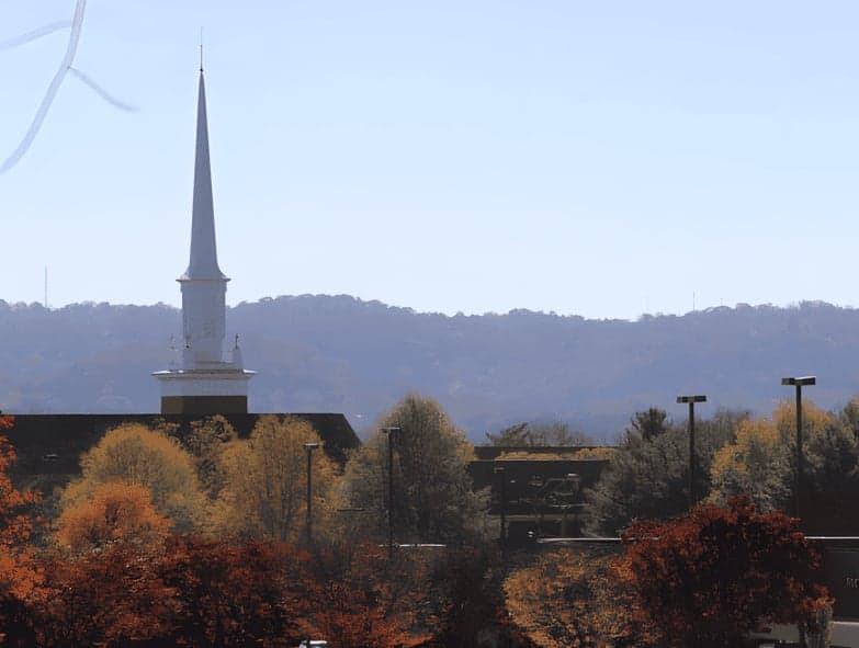
Strategic Assessment of Brentwood, TN
Multiple tactical vulnerabilities. Population density, target proximity, or disaster risk are likely compounding. A retreat property and exit planning is required.
What does the Strategic Assessment tell us?
Our Strategic Assessment grades tactical survivability of an area. Major population centers, military targets, fallout zones, natural disasters, and border exposure all drive risk — lower exposure means a more defensible position in a crisis.
This is heavily inspired by Joel Skousen's Strategic Relocation book. Highly recommended you checkout the book ($)What does this tell us?
Our Strategic Assessment grades tactical survivability of an area. Major population centers, military targets, fallout zones, natural disasters, and border exposure all drive risk — lower exposure means a more defensible position in a crisis.
This is heavily inspired by Joel Skousen's Strategic Relocation book. Highly recommended you checkout the book ($)Strategic Pillars

Key Distances
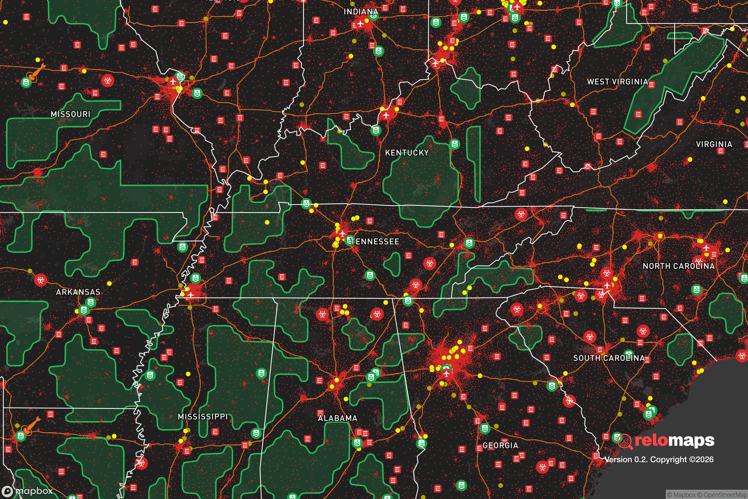
Regional Safe Places
Below is our recommended "safe zones" in Tennessee and the surrounding area based on our strategic heuristics. For most people, it's unrealistic to live in a “safe zone” full-time due to work, family or other personal reasons. They tend to be more rural. However, many of these areas are perfect for second homes and retreat properties that double as a vacation home or even a short-term rental.
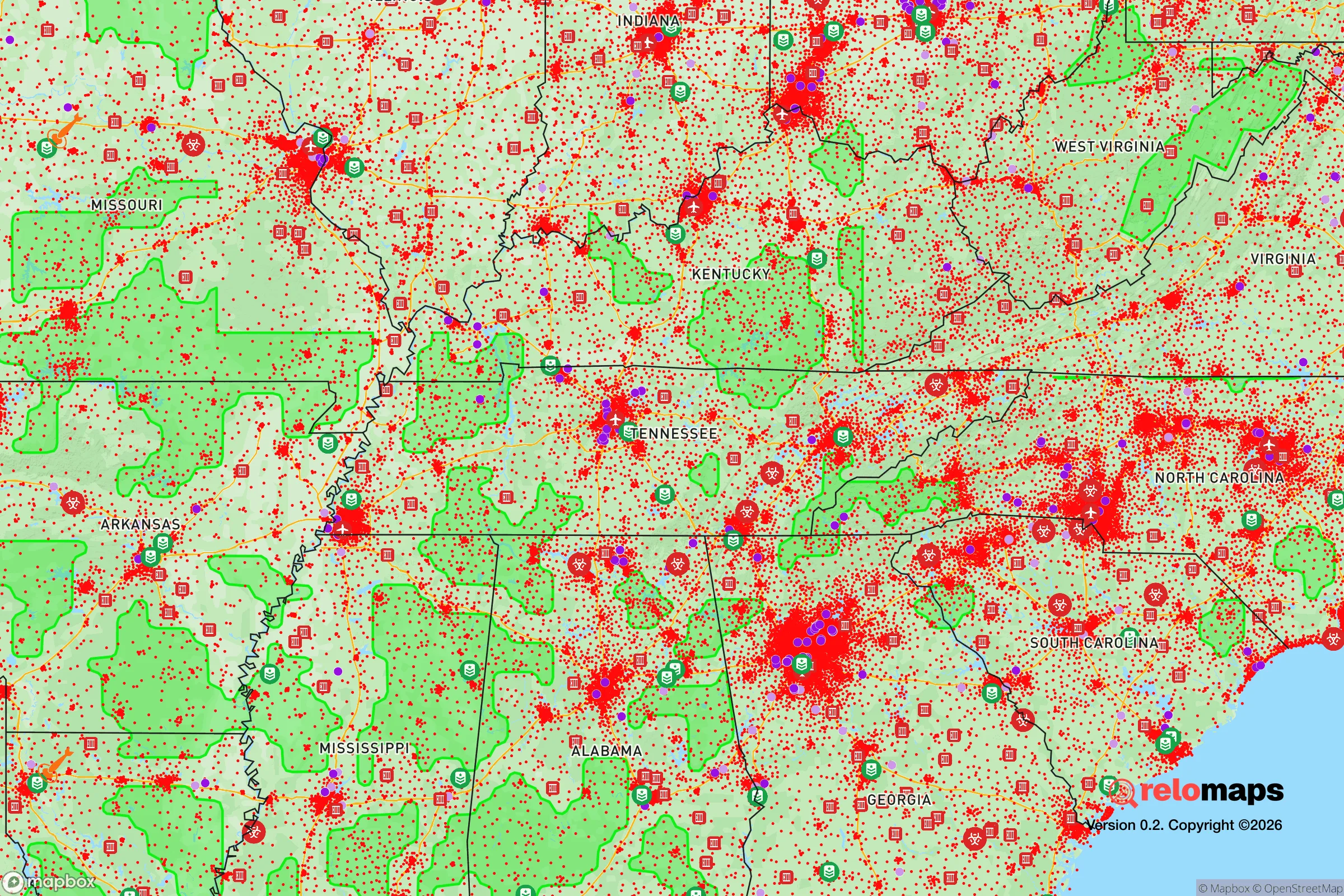
Important Note: For informational purposes only. This does not mean nothing bad ever happens in the green zones. Please use common sense. This is based on public data and modeled with AI. We tried to take a conservative approach but mistakes happen. We update this regularly as new information becomes available.
Solar Generator Recommendations
Backup power matters more here than in safer locations. We've picked three solar generators across budgets and capacity tiers — start with the budget unit if you only need a few essentials, or step up if you want to run a fridge and HVAC for days at a time.

Jackery Portable Power Station Explorer 300
Budget OptionPower on the Go: Weighing only 11 lbs, it's convenient to set up and store with book-sized foldable solar panels

BLUETTI Portable Power Station AC180
Designed for both indoor and outdoor scenarios, AC180 is highly capable as it has a robost capacity and continuous output power.

EF ECOFLOW DELTA Pro Ultra Power Station
Upgraded PickEcoFlow DELTA Pro Ultra is a whole-home energy system designed to grow with your family. Integrated with the Smart Home Panel 2, it scales to meet your evolving energy needs — keeping your home powered, intelligent, and secure through every stage of life.
We earn a commission, at no additional cost to you.
Strategic Assessment Analysis
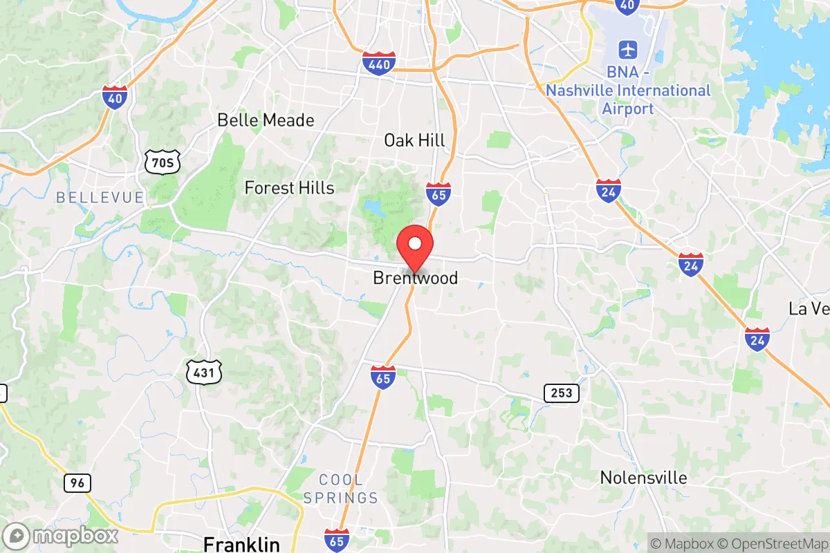
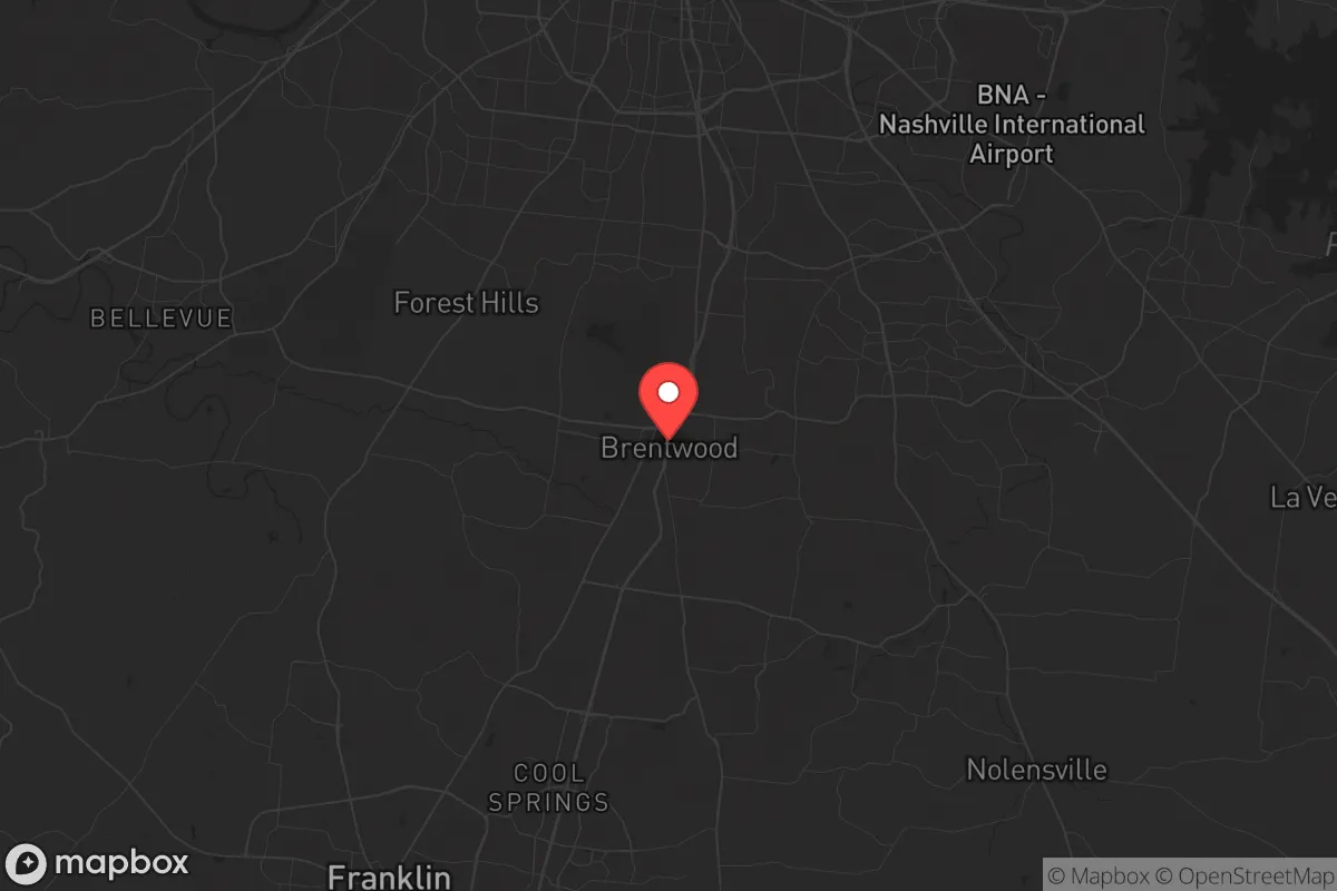
Brentwood, Tennessee, sits in a geographic sweet spot that offers genuine strategic depth for those thinking seriously about resilience, but it’s not without real trade-offs. Located roughly 15 miles south of downtown Nashville, this affluent Williamson County suburb benefits from the economic muscle of a major metro while maintaining enough physical separation to avoid the worst of urban chaos during a crisis. For a conservative-leaning relocator—whether single or raising a family—Brentwood’s combination of strong local governance, low crime, and access to regional resources makes it a viable base camp, but only if you understand the risks baked into its proximity to a major city and Interstate 65 corridor.
Geographic position and natural advantages for long-term stability
Brentwood’s location within the Nashville Basin gives it a mild four-season climate with no hurricane storm surge, no wildfire-prone chaparral, and no earthquake fault lines running through town. The area sits on the Western Highland Rim, a limestone plateau that provides decent drainage and stable ground—important for anyone thinking about basement storage, well water, or underground shelter. The Harpeth River runs along the city’s western edge, and the region’s karst topography means numerous springs and aquifers are within reach for those who plan ahead. The city’s elevation averages around 700 feet, which keeps it above the floodplain of the Cumberland River that threatens downtown Nashville. For a prepper, this means Brentwood avoids the most common natural disaster risks—tornadoes are the main weather threat, and they’re typically short-lived and localized. The surrounding countryside, particularly to the south and east, offers rural retreat options within a 30-minute drive, giving residents a bug-out corridor that doesn’t require crossing major river barriers. Williamson County’s rolling hills and hardwood forests also provide natural cover and defensible terrain, especially compared to the flat, open farmland of West Tennessee.
Risks, exposures, and proximity to fallout-relevant landmarks
The biggest strategic liability is Brentwood’s position along the I-65 corridor, a primary evacuation route out of Nashville. In a mass casualty event, civil unrest, or grid-down scenario, that highway becomes a choke point—and a target. Brentwood is roughly 10 miles from Nashville International Airport (BNA), a major logistics hub that could be a focal point for FEMA operations, military staging, or, in a worst-case scenario, a secondary target during a coordinated attack. The city is also within 20 miles of the Tennessee Valley Authority’s Cumberland Fossil Plant and the Gallatin Steam Plant, both of which are potential industrial accident or sabotage risks. More concerning for the survivalist mindset: Brentwood sits within 50 miles of the Oak Ridge National Laboratory, a Department of Energy facility that handles nuclear materials and classified research. While the risk of a catastrophic release is low, the area’s proximity to a high-value federal asset makes it a potential zone of interest during a national security crisis. On the plus side, Brentwood has no major chemical plants, refineries, or rail yards within its borders, and the city’s zoning is aggressively residential—meaning no heavy industry to attract collateral damage. The local police department is well-funded and has a strong relationship with the Williamson County Sheriff’s Office, which is known for a conservative, community-oriented approach to law enforcement. That said, during a regional emergency, Brentwood’s population of roughly 45,000 could swell with refugees from Nashville, straining resources and creating security challenges at the city’s northern boundary.
Practical resilience for a relocator: food, water, energy, and defensibility
For a single individual or family serious about self-sufficiency, Brentwood offers a mixed bag. The city’s water supply comes from the Harpeth River and the Cumberland River via the Nashville Water System, which means a single-point-of-failure vulnerability. A well-permitted private well is possible on larger lots in the city’s more rural pockets, but most subdivisions are on municipal water. A rainwater catchment system is a legal and practical workaround, and the area’s average 50 inches of annual rainfall makes it viable. Food resilience is better: Williamson County has a strong local farming community, with several farmers’ markets and CSAs operating year-round. The Brentwood Farmers Market runs from April through October, and the nearby Franklin Farmers Market is a reliable source for local meat, eggs, and produce. For long-term storage, the climate is humid, so root cellars and proper canning are essential—dry storage alone won’t cut it. Energy-wise, Brentwood is served by the Middle Tennessee Electric Membership Corporation, a cooperative that has a better reliability record than investor-owned utilities. Solar is viable, with an average of 210 sunny days per year, and the city has no HOA restrictions that outright ban panels, though some subdivisions have aesthetic covenants. For defensibility, Brentwood’s layout is suburban—curving roads, cul-de-sacs, and tree-lined streets that naturally slow vehicle traffic and create chokepoints. The city’s low crime rate (roughly 80% below the national average for violent crime) means most residents aren’t thinking about security, but the physical environment is actually quite defensible for a prepared household. The biggest gap is community: Brentwood is a wealthy, transient suburb where many residents commute to Nashville. A relocator should invest time in building relationships with neighbors who share a preparedness mindset—there are active local groups, but they’re not advertised.
The overall strategic picture for Brentwood is one of calculated risk. It offers a high baseline of safety, strong local governance, and access to regional resources that make it a solid choice for a conservative relocator who wants to be near a major city without living in it. The downsides—proximity to I-65, Nashville’s refugee potential, and the Oak Ridge factor—are real but manageable with proper planning. For a single person or family willing to invest in a well, solar, and a community network, Brentwood can serve as a long-term base that balances modern convenience with genuine resilience. It’s not a remote bug-out location, but it’s a defensible suburb that gives you time and options—which, in a crisis, is more than most places can offer.
* Values derived from national, state, county, city and local statistics and may differ in a specific area. Last updated: 2026-04-15T23:52:55.000Z
Narrative content on this page is AI-generated and may contain mistakes. Verify any details that matter before acting on them.
ReloMaps may earn a commission from affiliate links at no extra cost to you.