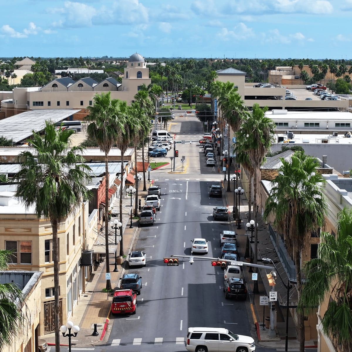

Photo: brownsvilletx.gov
Quality of Life in Brownsville, TX
A livable area that tracks near national norms for affordability, walkability, and neighborhood health.
What does Quality of Life tell us?
Quality of Life blends cost of living, nearby amenities, socioeconomic signals, and neighborhood character. City-level scores represent the whole municipality; individual neighborhoods can differ.
What does this tell us?
Quality of Life blends cost of living, nearby amenities, socioeconomic signals, and neighborhood character. City-level scores represent the whole municipality; individual neighborhoods can differ.
Cost of Living
36% below national average
The Real Cost of Living in Brownsville, TX for 2026
| Tier | Individual | Family (4) |
|---|---|---|
| Survival | $14k | $27k |
| Comfortable | $29k | $42k |
| Luxury | $88k+ | $136k+ |
115%
Hobbies
Explore the areaGroceries
5 within 10 miles
Gas
20 within 10 miles
Hospital
20 within 20 miles
Airport
SAN — San Antonio International
Post Office
USPS — 1617 Resaca Village, Brownsville
Critical Amenities
Quality-of-Life Analysis
Brownsville, Texas, offers a distinctly affordable quality of life that attracts a mix of young families, retirees, and cross-border professionals, though its median household income of roughly $48,000 trails the national average. The city’s cost of living index of 64 (100 = U.S. average) places it among the most budget-friendly metro areas in the country, drawing residents who prioritize financial breathing room over high-end amenities. The population is predominantly Hispanic (over 93%), and the local culture is deeply shaped by its position as the largest city in the Rio Grande Valley, with a strong sense of community and a slower, more family-oriented pace of life.
How affordable is Brownsville compared to nearby cities like McAllen or Harlingen?
Brownsville’s cost of living is roughly 36% below the national average, making it significantly cheaper than many Texas metros. The median home value sits at $122,400, which is about half the Texas statewide median of $240,000 and far below the national figure of $350,000. Renters also benefit: the median monthly rent is $906, compared to $1,200 in nearby McAllen and $1,400 in Corpus Christi. The average commute time of 20.6 minutes is shorter than the national average of 26 minutes, reducing transportation costs and freeing up time for family or recreation. Property taxes in Cameron County average about 2.1% of assessed value, slightly above the Texas median, but the low home prices keep annual tax bills manageable—often under $2,500 for a typical home. For those willing to live 10–15 minutes outside the city core, homes in communities like Los Fresnos or Rancho Viejo can be found for under $150,000, offering even more value.
What daily life is like for families: schools, parks, and local amenities
Daily life in Brownsville revolves around outdoor recreation and community events, with the city’s subtropical climate allowing year-round use of parks like the 40-acre Dean Porter Park and the Gladys Porter Zoo. The Brownsville Independent School District operates over 50 campuses, with several elementary schools rated “A” by the Texas Education Agency, though high school graduation rates hover around 88%—slightly below the state average. For higher education, the University of Texas Rio Grande Valley (UTRGV) provides a major anchor, enrolling over 30,000 students and offering healthcare programs that feed into the local job market. Shopping and dining are concentrated along Paredes Line Road and the Brownsville Events Center, with a mix of national chains and local taquerias. The city’s proximity to South Padre Island (30 minutes east) and the SpaceX Boca Chica launch site (20 minutes east) adds unique recreational and cultural draws, though the latter has sparked debates about environmental impact and traffic on Highway 4. Crime rates are moderate: the violent crime rate of 4.2 per 1,000 residents is slightly above the national average, but property crime has declined 12% since 2020, according to local police data.
Brownsville is best suited for residents who prioritize low housing costs, a warm climate, and a tight-knit, bicultural community over career opportunities in high-paying industries or urban nightlife. Remote workers, retirees on fixed incomes, and families seeking a slower pace will find the affordability compelling, while those in specialized fields like aerospace or healthcare may benefit from the growing presence of SpaceX and UTRGV. The city’s challenges—limited public transit, higher poverty rates (28% vs. 11% nationally), and occasional flooding from tropical storms—are offset by its low cost of entry and strong sense of place. For anyone willing to trade big-city salaries for a lower-stress, budget-friendly lifestyle, Brownsville offers a rare combination of financial freedom and cultural richness.
Crime in Brownsville, TX
Generally safer than 57% of comparable U.S. locations.
Violent CrimeViolent Crime Analysis
Property CrimeProperty Crime Analysis
Crime Analysis
Brownsville, Texas, reports a violent crime rate of 403 incidents per 100,000 residents and a property crime rate of 1,523.9 per 100,000, placing it above national averages but below some peer Texas border cities. The city’s overall safety picture is mixed: while property crime is a persistent concern, violent crime rates have shown fluctuation in recent years, and residents’ daily experience often depends heavily on neighborhood and time of day.
Crime in context
Brownsville’s violent crime rate of 403 per 100,000 is roughly 15% higher than the national average of about 380 per 100,000, but significantly lower than nearby McAllen (approximately 480 per 100,000) and Laredo (approximately 450 per 100,000). Property crime at 1,523.9 per 100,000 is about 10% below the national average of roughly 1,950 per 100,000, though still elevated compared to smaller Texas towns. Statewide, Texas averages around 445 violent crimes and 2,200 property crimes per 100,000, meaning Brownsville’s property crime rate is notably lower than the Texas norm. However, these aggregate figures mask important trends: aggravated assault accounts for the majority of violent offenses, while larceny-theft dominates property crime reports.
What residents experience
Residents frequently cite property crimes—especially vehicle break-ins, burglary, and theft from yards or porches—as the most common safety nuisance. The presence of progressive judges and district attorneys in Cameron County has been a point of contention, with critics arguing that lenient sentencing and diversion programs for repeat offenders contribute to a revolving-door justice system. This judicial philosophy, while intended to reduce incarceration rates, can lead to more criminals returning to the streets quickly, undermining deterrence and victim confidence. In practice, this means that a resident whose home is burglarized may see the suspect arrested but released on personal recognizance within hours, a pattern that frustrates community safety efforts. Police response times vary, with central neighborhoods receiving faster service than outlying colonias or rural pockets.
Neighborhood-level variation
Safety in Brownsville is not uniform. Neighborhoods west of Interstate 69E/US 77, including areas near the University of Texas Rio Grande Valley and the historic downtown, tend to have higher reported crime rates, particularly for theft and assault. In contrast, eastern neighborhoods like Los Fresnos and Rancho Viejo see significantly lower crime, with violent rates often half the city average. Gated communities and newer subdivisions near the Brownsville-South Padre Island International Airport report the lowest incident rates. Residents considering relocation should consult local police crime maps and talk to neighbors, as block-by-block variation can be stark—a quiet street may border a corridor with frequent drug-related arrests.
* Values derived from national, state, county, city and local statistics and may differ in a specific area. Last updated: 2026-04-11T04:40:45.000Z
Narrative content on this page is AI-generated and may contain mistakes. Verify any details that matter before acting on them.
ReloMaps may earn a commission from affiliate links at no extra cost to you.