Photo: Wikipedia
Strategic Assessment of Burlington, IA
Workable tactical position. Some exposure to population density or targets, but generally defensible in a crisis.
What does the Strategic Assessment tell us?
Our Strategic Assessment grades tactical survivability of an area. Major population centers, military targets, fallout zones, natural disasters, and border exposure all drive risk — lower exposure means a more defensible position in a crisis.
This is heavily inspired by Joel Skousen's Strategic Relocation book. Highly recommended you checkout the book ($)What does this tell us?
Our Strategic Assessment grades tactical survivability of an area. Major population centers, military targets, fallout zones, natural disasters, and border exposure all drive risk — lower exposure means a more defensible position in a crisis.
This is heavily inspired by Joel Skousen's Strategic Relocation book. Highly recommended you checkout the book ($)Strategic Pillars

Key Distances
Regional Safe Places
Below is our recommended "safe zones" in Iowa and the surrounding area based on our strategic heuristics. For most people, it's unrealistic to live in a “safe zone” full-time due to work, family or other personal reasons. They tend to be more rural. However, many of these areas are perfect for second homes and retreat properties that double as a vacation home or even a short-term rental.


Important Note: For informational purposes only. This does not mean nothing bad ever happens in the green zones. Please use common sense. This is based on public data and modeled with AI. We tried to take a conservative approach but mistakes happen. We update this regularly as new information becomes available.
Solar Generator Recommendations
Backup power matters more here than in safer locations. We've picked three solar generators across budgets and capacity tiers — start with the budget unit if you only need a few essentials, or step up if you want to run a fridge and HVAC for days at a time.

Jackery Portable Power Station Explorer 300
Budget OptionPower on the Go: Weighing only 11 lbs, it's convenient to set up and store with book-sized foldable solar panels

BLUETTI Portable Power Station AC180
Designed for both indoor and outdoor scenarios, AC180 is highly capable as it has a robost capacity and continuous output power.

EF ECOFLOW DELTA Pro Ultra Power Station
Upgraded PickEcoFlow DELTA Pro Ultra is a whole-home energy system designed to grow with your family. Integrated with the Smart Home Panel 2, it scales to meet your evolving energy needs — keeping your home powered, intelligent, and secure through every stage of life.
We earn a commission, at no additional cost to you.
Strategic Assessment Analysis
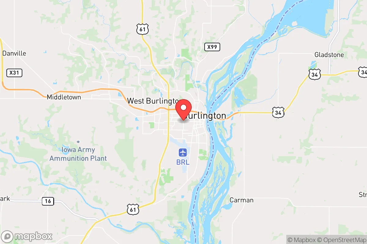
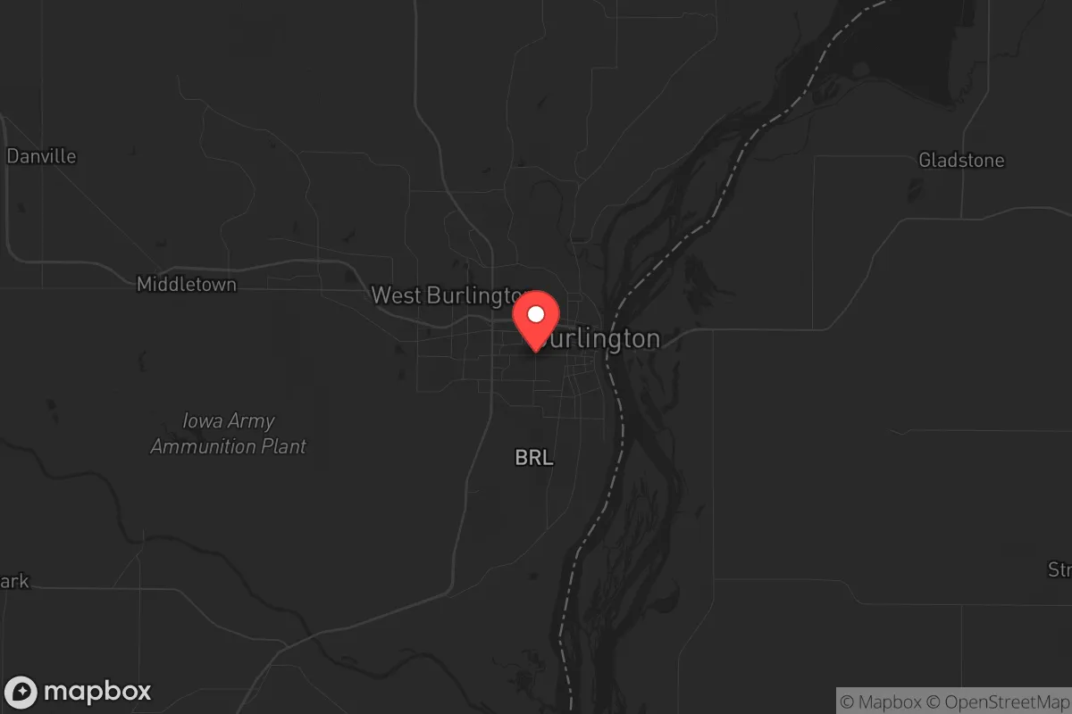
Burlington, Iowa, sits on the Mississippi River in the southeastern corner of the state, roughly 80 miles southwest of the Quad Cities and 150 miles northwest of St. Louis. Its strategic value for a relocator with a prepper mindset lies in its position as a modest-sized city (population around 23,000) that retains a working-class industrial base while being far enough from major metropolitan blast zones to offer a realistic buffer. The city’s resilience is anchored by its river access, a diversified local economy that includes manufacturing and agriculture, and a location that is not directly adjacent to any Tier-1 target, though it is within the fallout shadow of several. For a conservative-leaning individual or family looking to weather civic unrest, supply chain disruptions, or larger-scale disasters, Burlington presents a mixed picture: it offers genuine practical advantages in food and water security, but its proximity to the Mississippi River corridor and rail lines introduces risks that must be factored into any serious relocation calculus.
Geographic position and natural advantages for long-term survival
Burlington’s most obvious asset is the Mississippi River itself. The river provides a near-limitless source of fresh water, though it requires filtration and treatment before consumption. The surrounding region is part of the Corn Belt, with rich alluvial soil that supports intensive agriculture. Within a 30-minute drive, you’ll find thousands of acres of farmland producing corn, soybeans, and livestock. For a family looking to establish a semi-self-sufficient homestead, the land is affordable—farmland in Des Moines County can be purchased for $4,000–$6,000 per acre, significantly less than in the coastal or mountain West. The city sits on bluffs overlooking the river, which offers natural elevation advantages for drainage and defensive positioning. The local climate is continental, with hot, humid summers and cold winters, but the growing season runs roughly from April to October, long enough for a serious garden or small-scale farming operation. Burlington is also served by two major highways—US 34 and US 61—which connect to larger regional hubs, but these same roads could become chokepoints during an evacuation or crisis. The city’s rail infrastructure, including a major BNSF line running along the river, is a double-edged sword: it supports local industry but also makes the area a potential target for disruption during civil unrest.
Risks, exposures, and proximity to fallout-relevant landmarks
The most significant risk for Burlington is its location within the fallout plume of potential nuclear targets. The Quad Cities, home to the Rock Island Arsenal and a major rail and manufacturing hub, are roughly 80 miles to the north. St. Louis, with its critical infrastructure including Lambert Airport and the nation’s largest inland port complex, is about 150 miles south. Prevailing winds in the region generally blow from west to east, meaning that fallout from a strike on either city could drift toward Burlington depending on the specific weather pattern. The city itself is not a primary target—there are no major military bases, nuclear power plants, or strategic command centers within the immediate area—but it sits on the Mississippi River corridor, which is a critical transportation artery. During a national emergency, the river and its bridges could become contested zones. The nearby Burlington Northern Santa Fe rail yard and the Iowa Army Ammunition Plant in Middletown (about 20 miles north) are secondary concerns. The ammunition plant is a potential target for sabotage or collateral damage, though it is not a high-value nuclear target. Flooding is a recurring natural risk: the Mississippi has historically flooded the lower portions of Burlington, including the industrial areas near the riverfront, so any property purchase should be above the 500-year floodplain. Tornadoes are a seasonal threat, but the city’s bluff-top neighborhoods offer some natural protection from the worst of the flatland storm tracks.
Practical resilience for a relocator: food, water, energy, and defensibility
For a family or individual serious about prepping, Burlington offers several concrete advantages. Food security is strong: the surrounding agricultural region means that local farmers’ markets, CSAs, and direct-from-farm purchasing are viable year-round. The city has a working grain elevator and several feed stores that can supply bulk grains and animal feed. Hunting and fishing are accessible—the Mississippi provides catfish, bass, and walleye, and public hunting lands like the Shimek State Forest (about 30 minutes south) offer deer and turkey. Water is abundant but requires work: the river is the obvious source, but it’s heavily silted and contaminated with agricultural runoff and industrial residue. A good-quality Berkey or similar gravity filter, combined with UV treatment, is essential. Municipal water comes from the river and is treated, but during a prolonged grid-down scenario, the treatment plant could fail. A well on a rural property outside city limits is the better long-term bet. Energy resilience is mixed: Burlington is served by Alliant Energy, which relies on a mix of coal, natural gas, and renewables. The grid is moderately reliable, but winter storms in 2021 and 2022 caused localized outages. Solar is viable—the region gets about 200 sunny days per year—but battery storage is necessary for winter months. Natural gas is available in most of the city, which is a plus for heating and cooking during outages. Defensibility is moderate: the bluffs provide natural chokepoints, and the city’s layout—with a compact downtown and spread-out residential neighborhoods—makes it easier to secure a perimeter than a sprawling suburb. However, the river and rail lines create avenues of approach that are hard to monitor. The local police force is small (around 40 officers), and the county sheriff’s office covers a large rural area. During a major crisis, law enforcement would be stretched thin. The nearest National Guard unit is in Davenport, about an hour north, so response times would be significant. For a relocator, the best strategy is to buy property on the bluffs south or west of the city, away from the river and rail corridors, and establish a defensible homestead with a well, solar panels, and a root cellar.
Overall, Burlington is a solid B-tier relocation option for a conservative prepper. It avoids the worst of the target risks associated with coastal cities or major inland hubs, and its agricultural base and river access provide genuine long-term survival advantages. The downsides are real but manageable: fallout risk from strikes on the Quad Cities or St. Louis, vulnerability to flooding and tornadoes, and a location that could become a transit corridor during a national emergency. For a single individual or family willing to invest in water filtration, off-grid energy, and a rural property outside the city limits, Burlington offers a realistic path to resilience without the extreme isolation of the Mountain West or the high costs of the Southeast. It’s not a bug-out paradise, but it’s a place where a prepared person can build a sustainable life while staying connected to the broader region’s resources. If you’re looking for a low-profile, working-class town with real dirt under its fingernails, Burlington deserves a serious look.
* Values derived from national, state, county, city and local statistics and may differ in a specific area. Last updated: 2026-04-30T03:10:07.000Z
Narrative content on this page is AI-generated and may contain mistakes. Verify any details that matter before acting on them.
ReloMaps may earn a commission from affiliate links at no extra cost to you.