
Photo: Wikipedia
Quality of Life in El Dorado County
A livable area that tracks near national norms for affordability, walkability, and neighborhood health.
What does Quality of Life tell us?
Quality of Life measures an area by evaluating factors like cost of living, nearby amenities, country club access, airport proximity, socioeconomic signals and neighborhood character. For large states, this is a general average — quality of life can vary dramatically between metro areas, suburbs, and rural communities within the same state.
What does this tell us?
Quality of Life measures an area by evaluating factors like cost of living, nearby amenities, country club access, airport proximity, socioeconomic signals and neighborhood character. For large states, this is a general average — quality of life can vary dramatically between metro areas, suburbs, and rural communities within the same state.
Cost of Living
75% above national average
58%
The Real Cost of Living in El Dorado County for 2026
| Tier | Individual | Family (4) |
|---|---|---|
| Survival | $26k | $49k |
| Comfortable | $124k | $183k |
| Luxury | $192k+ | $297k+ |
| Elite (Top 5%) | $240k+ | $372k+ |
Quality-of-Life Analysis
El Dorado County, California, offers one of the most dramatic quality-of-life spectrums in the Sierra Nevada foothills, ranging from the suburban, amenity-rich city of El Dorado Hills to the historic, high-altitude communities of South Lake Tahoe and the remote, forested pockets of Georgetown and Cool. The county’s character shifts sharply with elevation and proximity to Sacramento, drawing commuters, retirees, outdoor enthusiasts, and remote workers to distinctly different parts of the region. With a countywide cost-of-living index of 175 (75% above the U.S. average) and a median home value of $640,500, the financial and lifestyle trade-offs vary significantly depending on whether one chooses the western slope’s suburban sprawl or the eastern Sierra’s rugged isolation.
Largest town(s) & population centers
The county’s primary population anchor is El Dorado Hills, a master-planned community of roughly 50,000 residents that functions as an affluent Sacramento exurb. Daily life here revolves around the El Dorado Hills Town Center, top-rated schools in the Buckeye Union School District, and a commute averaging 28 minutes to downtown Sacramento via U.S. 50. The median home value in El Dorado Hills exceeds the county average, often topping $750,000, and the area attracts professionals in tech, healthcare, and state government. Placerville, the county seat and historic Gold Rush hub, offers a more affordable and grittier alternative, with a median home value closer to $475,000 and a walkable Main Street lined with antique shops, breweries, and the El Dorado County Fairgrounds. South Lake Tahoe, while geographically part of the county, operates as a distinct resort economy centered on Heavenly Mountain Resort and Lake Tahoe tourism, with a median rent of $1,626 aligning closely with the county average but a home-buying market that is both expensive and constrained by short-term rental regulations.
Smaller towns & rural pockets
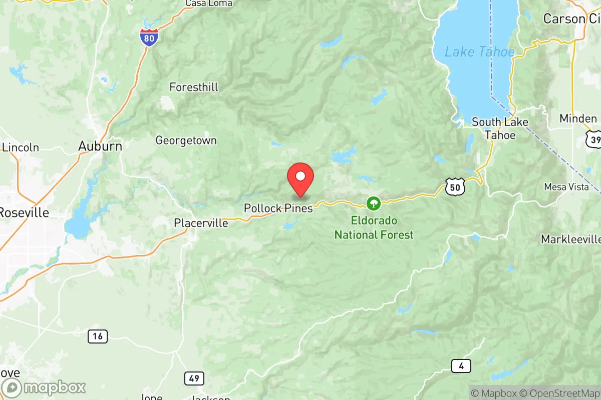
Beyond the population centers, El Dorado County contains a string of unincorporated communities that define its rural character. Camino and Pollock Pines, both along U.S. 50 east of Placerville, serve as gateways to the Eldorado National Forest, with residents living on acreage among pine forests and experiencing winter snowpack that can exceed three feet. Georgetown, a historic mining town of fewer than 2,500 people, sits at 2,700 feet and offers a slower pace with no chain stores and a strong volunteer fire department culture. Cool and Pilot Hill, west of Placerville, are characterized by rolling oak woodlands, horse properties, and a population that skews older and more libertarian. Grizzly Flats, a tiny community of roughly 1,200, represents the most remote end of the spectrum, with limited cell service, unpaved roads, and a 45-minute drive to the nearest grocery store in Placerville.
Cost & lifestyle range
The cost of living in El Dorado County spans a wide band. At the high end, El Dorado Hills and the gated communities of Serrano command home prices above $900,000, with HOAs and proximity to top-tier schools driving expenses. At the low end, Georgetown and Grizzly Flats offer median home values around $350,000–$400,000, but with trade-offs in commute times (often exceeding 40 minutes to Placerville or Sacramento) and limited access to healthcare and retail. The countywide median rent of $1,626 masks a tight rental market in South Lake Tahoe, where seasonal demand pushes rents above $2,000 for a two-bedroom, while rural rentals in Camino or Pollock Pines can fall below $1,400. Amenities also diverge sharply: El Dorado Hills has a Kaiser Permanente medical center, multiple grocery stores, and a movie theater, while residents of Cool or Pilot Hill drive 20 minutes for basic shopping and rely on volunteer fire services.
The spectrum of quality-of-life options in El Dorado County means that no single profile fits all. Commuters who prioritize schools and convenience thrive in El Dorado Hills. Retirees and remote workers seeking land, quiet, and lower housing costs find value in Georgetown or Camino. Outdoor adventurers and hospitality workers gravitate to South Lake Tahoe despite its seasonal volatility. The county’s diversity of settings—from suburban cul-de-sacs to mountain cabins to historic gold-rush hamlets—ensures that most lifestyles can find a niche, provided the trade-offs in commute, cost, and isolation are accepted.

Crime in El Dorado County
Higher crime rates than 58% of comparable U.S. locations.
Violent CrimeViolent Crime Analysis
Property CrimeProperty Crime Analysis
Crime Analysis
El Dorado County, stretching from the Sacramento suburbs of El Dorado Hills to the Sierra Nevada communities of South Lake Tahoe, presents a mixed safety profile that varies dramatically by location. The county’s violent crime rate of 434.5 per 100,000 residents and property crime rate of 1,820.6 per 100,000 place it above national averages, though these figures mask significant differences between the county’s western foothill communities and its eastern mountain towns. Understanding where crime concentrates and how local justice policies shape public safety is essential for anyone considering a move to this geographically diverse region.
Crime in context
El Dorado County’s violent crime rate of 434.5 per 100,000 is roughly 24% higher than the national average of approximately 350 per 100,000, while its property crime rate of 1,820.6 per 100,000 exceeds the national figure of about 1,950 per 100,000 by a narrower margin. Compared to California’s statewide violent crime rate of roughly 500 per 100,000, the county fares slightly better, but the gap is narrowing. The county’s proximity to Sacramento—a city with consistently high crime rates—pulls some of its western communities into higher-risk categories. El Dorado Hills, a planned community with median home values above $700,000, reports significantly lower crime than the county average, while the unincorporated areas around Placerville and Diamond Springs see elevated property crime tied to drug-related offenses and vehicle theft. South Lake Tahoe, the county’s eastern anchor, experiences seasonal spikes in both violent and property crime driven by tourism and transient populations, with rates that often exceed the county average during summer and winter holiday periods.
What residents experience
Daily life in El Dorado County is shaped by the jurisdiction in which one lives. The El Dorado County District Attorney’s Office, led by Vern Pierson since 2011, has maintained a conservative, victim-centered approach that prioritizes prosecution of violent offenders and repeat property criminals. This stands in contrast to neighboring Sacramento County, where progressive District Attorney Thien Ho has implemented policies that reduce cash bail and divert low-level offenders from incarceration—policies that critics argue contribute to Sacramento’s higher recidivism rates. In El Dorado County, residents in Cameron Park and Shingle Springs report relatively low property crime, with most incidents involving unlocked vehicles and package theft rather than violent confrontations. However, the county’s rural character means that response times for law enforcement can exceed 20 minutes in remote areas like Pollock Pines and Georgetown, making property crime prevention a matter of personal vigilance. The county’s sheriff’s department operates a well-regarded neighborhood watch program, and many foothill communities have formed private security patrols to supplement public resources.
Neighborhood-level variation
Crime in El Dorado County is not evenly distributed. The western corridor along Highway 50, from El Dorado Hills to Placerville, sees the bulk of reported property crime, with auto theft and burglary rates highest in areas with easy freeway access. El Dorado Hills itself remains the safest incorporated city in the county, with violent crime rates roughly half the county average. In contrast, the unincorporated areas around Placerville—particularly the neighborhoods near Missouri Flat Road and the county government center—experience higher rates of drug-related crime and domestic violence. South Lake Tahoe, while geographically part of the county, operates under its own police department and faces unique challenges: the city’s violent crime rate of approximately 600 per 100,000 is driven by alcohol-fueled assaults and occasional gang activity tied to the regional drug trade. For prospective residents, the safest choices are El Dorado Hills and the newer subdivisions in Cameron Park, while those considering South Lake Tahoe should research specific neighborhoods and understand the seasonal crime patterns that affect the tourist economy.
* Values derived from national, state, county, city and local statistics and may differ in a specific area. Last updated: 2026-10-04T11:19:19.000Z
Narrative content on this page is AI-generated and may contain mistakes. Verify any details that matter before acting on them.
ReloMaps may earn a commission from affiliate links at no extra cost to you.

