Photo: Wikipedia
Strategic Assessment of El Dorado County
Workable tactical position. Some exposure to population density or targets, but generally defensible in a crisis.
What does the Strategic Assessment tell us?
Our Strategic Assessment grades tactical survivability of an area. Major population centers, military targets, fallout zones, natural disasters, and border exposure all drive risk — lower exposure means a more defensible position in a crisis.
This is heavily inspired by Joel Skousen's Strategic Relocation book. Highly recommended you checkout the book ($)What does this tell us?
Our Strategic Assessment grades tactical survivability of an area. Major population centers, military targets, fallout zones, natural disasters, and border exposure all drive risk — lower exposure means a more defensible position in a crisis.
This is heavily inspired by Joel Skousen's Strategic Relocation book. Highly recommended you checkout the book ($)Strategic Pillars

Key Distances
Strategic Assessment Analysis
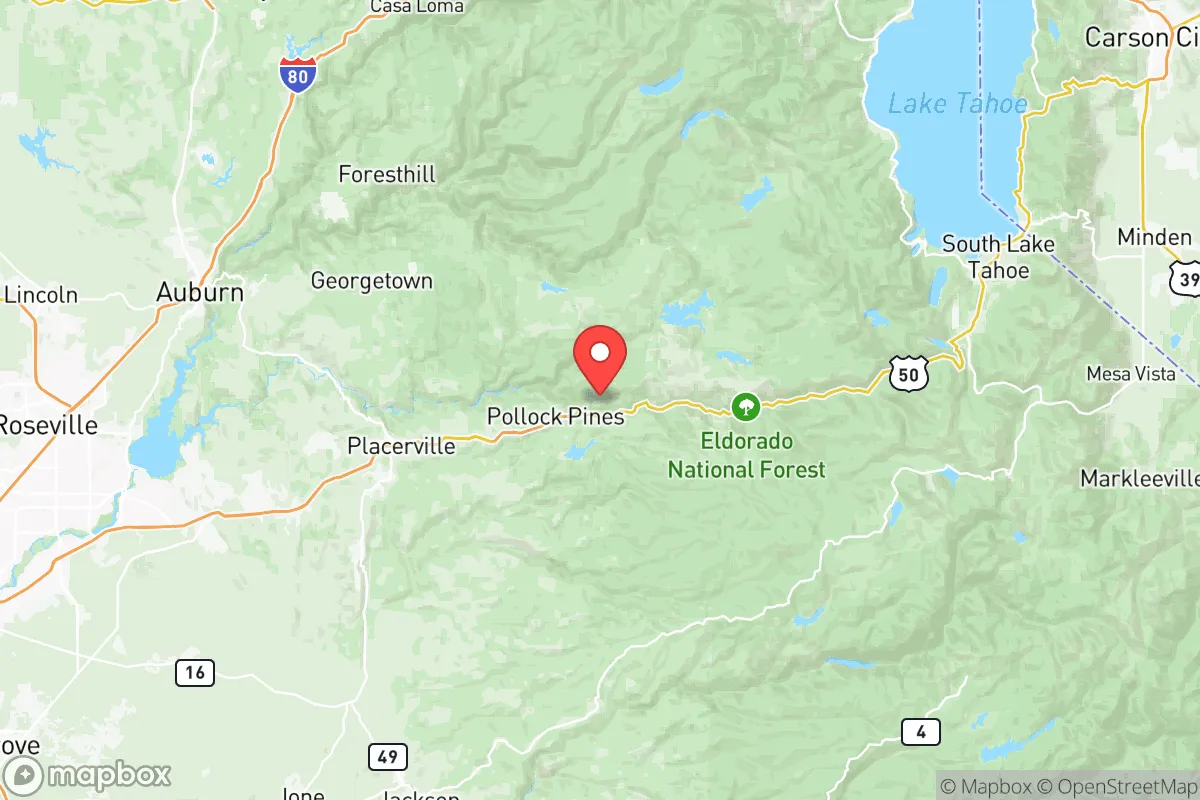
El Dorado County offers a compelling mix of geographic isolation and practical self-sufficiency that appeals to relocation-minded readers prioritizing resilience. Stretching from the Sacramento Valley floor near Folsom up into the Sierra Nevada, the county’s 1,700 square miles provide a dramatic elevation gradient—from 200 feet in the western foothills to over 10,000 feet near Lake Tahoe—which translates into varied microclimates, water resources, and defensible terrain. For a single individual or family weighing disaster readiness, the county’s position roughly 40 miles east of Sacramento and 100 miles from the San Francisco Bay Area places it outside the immediate blast and fallout zones of major metropolitan targets, while still offering access to urban supply chains when conditions are stable.
Geographic position and natural advantages for long-term stability
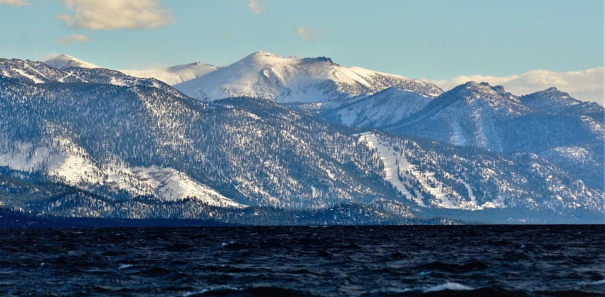
El Dorado County’s primary strategic asset is its topography. The western half, anchored by the county seat of Placerville (population roughly 11,000) and the growing community of El Dorado Hills (population 50,000+), sits in the Sierra foothills at elevations between 1,000 and 3,000 feet. This zone offers a moderate Mediterranean climate—hot, dry summers and cool, wet winters—with annual precipitation averaging 30–40 inches, mostly as rain. Moving east, the terrain rises sharply into the Desolation Wilderness and Lake Tahoe Basin, where elevations exceed 6,000 feet and snowpack provides a natural water reservoir that feeds the American River watershed. The county’s position on the western slope of the Sierra means it benefits from orographic lift, which reliably delivers more precipitation than the Central Valley or coastal ranges. For a relocator, this means surface water is abundant: the South Fork American River, the Cosumnes River, and numerous creeks drain through the county, and groundwater in the foothill alluvial basins is generally accessible with a well. The county also sits outside California’s primary seismic hazard zones—the nearest major fault, the San Andreas, is over 100 miles west—so earthquake risk is low compared to coastal areas. The terrain itself provides natural defensibility: narrow canyon roads, steep ridges, and limited east-west corridors (mainly US-50 and CA-49) create chokepoints that would slow any large-scale movement, whether from fire, civil unrest, or fallout drift.
Risks, exposures, and proximity to fallout-relevant landmarks
No location is without vulnerabilities, and El Dorado County has several that a strategic relocator must weigh. The most immediate natural risk is wildfire. The 2021 Caldor Fire burned over 220,000 acres, forced the evacuation of South Lake Tahoe (a city partially within the county’s eastern edge), and destroyed hundreds of structures. The county’s wildland-urban interface—where homes meet forest—is extensive, particularly around Pollock Pines, Camino, and Georgetown. Fire season now runs from May through November, and while defensible space requirements are enforced, a major fire event could still threaten life and property. On the man-made risk side, the county’s western boundary lies within 30–40 miles of Sacramento’s urban core and its associated infrastructure: the Port of Sacramento, the McClellan Park industrial complex (formerly McClellan Air Force Base), and the Union Pacific rail yards. While not a primary nuclear target like San Francisco or Los Angeles, Sacramento’s role as the state capital and a transportation hub makes it a secondary target. Prevailing winds in the region blow from the west and southwest, meaning fallout from a Sacramento-area detonation would drift east toward the foothills. However, the county’s elevation gain—rising from 200 feet at the Sacramento County line to over 3,000 feet at Placerville—means that fallout particles would have to travel uphill, reducing ground-level concentration compared to flat terrain. More distant but still relevant: the San Francisco Bay Area (100 miles west) and Travis Air Force Base (50 miles southwest) are high-value targets. A relocator in El Dorado County would be outside the lethal blast radius of any of these, but fallout could arrive within 6–12 hours depending on wind. The county’s mountainous terrain also creates complex wind patterns that can trap or divert fallout plumes, so pre-positioning potassium iodide and a good weather radio is prudent.
Practical resilience for a relocator: food, water, energy, and defensibility
For someone serious about self-sufficiency, El Dorado County scores well on the basics. Water is the strongest asset: the county sits atop the American River watershed, and many properties in the foothills have legal access to surface water rights or can drill wells at depths of 100–400 feet. The El Dorado Irrigation District serves developed areas, but rural parcels often rely on private wells, which are generally reliable. Food production is viable but not abundant: the county has about 1,200 farms, mostly small-scale, producing wine grapes, apples, timber, and livestock. The Apple Hill region near Camino is a well-known agricultural zone, and farmers’ markets operate in Placerville and El Dorado Hills. For a relocator, growing your own food is feasible in the foothills (growing season: April–October), but the eastern high country is too cold for most crops. Local food storage is a consideration—the county has no major food processing or warehousing facilities, so reliance on Sacramento supply chains is the norm. Energy is mixed: the county is served by Pacific Gas & Electric (PG&E), which has a history of Public Safety Power Shutoffs (PSPS) during fire weather. Many rural residents already have backup generators or solar-plus-battery systems. Solar potential is excellent—the foothills receive 5–6 peak sun hours per day—and off-grid living is common in areas like Grizzly Flats and Omo Ranch. Defensibility is the county’s hidden strength: the road network is limited, with US-50 and CA-49 as the primary arteries, and many secondary roads are narrow, winding, and easily blocked. For a family with a well-stocked rural property, the terrain offers natural security. However, the county’s population of roughly 192,000 is concentrated in the western foothills, so a relocator should target parcels east of Placerville or north of CA-50 to maximize isolation.
Overall, El Dorado County presents a balanced strategic picture for the resilience-minded relocator. Its geographic advantages—abundant water, defensible terrain, low seismic risk, and distance from primary targets—are genuine and measurable. The trade-offs are real: wildfire danger, PG&E reliability issues, and the need to pre-position supplies for supply chain disruptions. For a single individual or family willing to invest in fire-hardening, backup power, and a well, the county offers one of the better risk-reward profiles in California. The key is to choose a location carefully: avoid the dense western suburbs near El Dorado Hills (too close to Sacramento’s secondary target risk) and aim for the mid-elevation foothills around Placerville, Camino, or Georgetown, where elevation, water access, and isolation converge. With preparation, El Dorado County can serve as a long-term base for a self-reliant household, provided the relocator treats it as a strategic asset rather than a passive refuge.

* Values derived from national, state, county, city and local statistics and may differ in a specific area. Last updated: 2026-10-04T11:19:19.000Z
Narrative content on this page is AI-generated and may contain mistakes. Verify any details that matter before acting on them.
ReloMaps may earn a commission from affiliate links at no extra cost to you.

